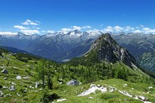
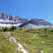
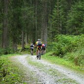
The most beautiful is yet to come: an excursion to the alpine world above the timber line, straight beneath the mountain faces of the Pietra Grande. And a demanding downhill run through the Val Meledrio valley in reward for the struggles of the past days
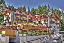
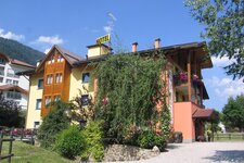
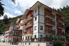
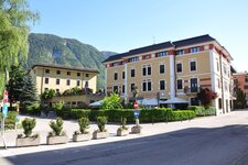
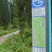
Image gallery: Dolomiti di Brenta Bike Stage 5: Campiglio - Rif. Graffer - Dimaro
-
-
D-P1350638.jpg
-
D-P1350667.jpg
-
D-P1340466.jpg
-
D-P1340501.jpg
-
D-P1340557.jpg
-
D-P1340596.jpg
-
D-P1340652.jpg
-
D-P1340775.jpg
-
D-P1340785.jpg
-
D-P1340825.jpg
-
D-P1350614.jpg
-
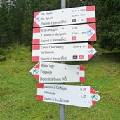
D-7044-segnavia-campo-carlo-magno.jpg
-
D-7046-ciclisti-a-passo-campo-carlo-magno.jpg
-
D-7047-malga-mondifra-campo-carlo-magno.jpg
-
D-7051-dolomiti-di-brenta-bike-tra-campo-carlo-magno-e-dimaro.jpg
-
D-7061-dolomiti-di-brenta-bike-tra-campo-carlo-magno-e-dimaro.jpg
-
D-7068-dolomiti-di-brenta-bike-tra-campo-carlo-magno-e-dimaro.jpg
-
D-7063-dolomiti-di-brenta-bike-tra-campo-carlo-magno-e-dimaro.jpg
-
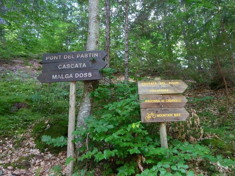
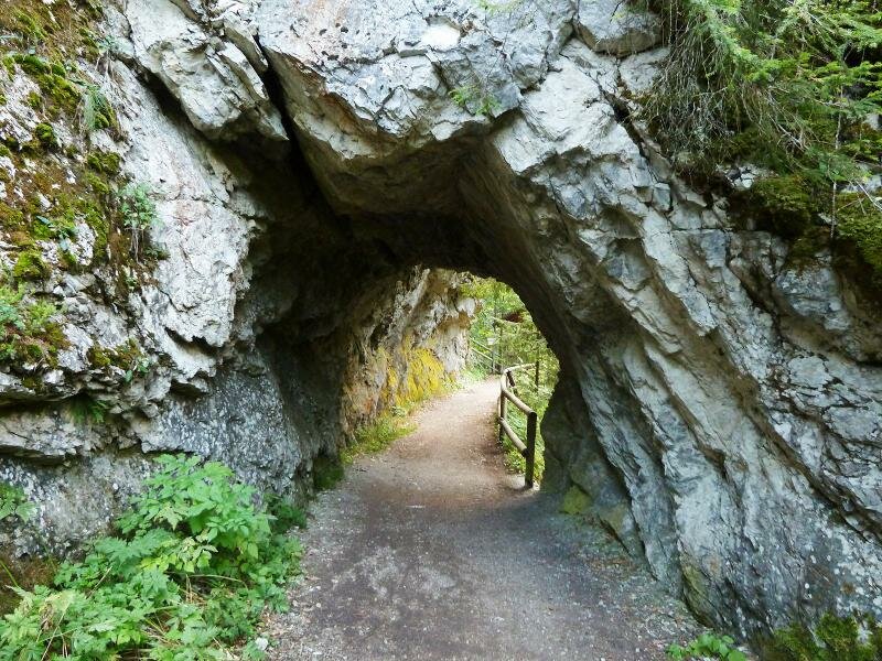
D-7100-sentiero-val-meledrio-presso-cascata-del-pison.jpg
-
D-7094-sentiero-val-meledrio-presso-cascata-del-pison.jpg
-
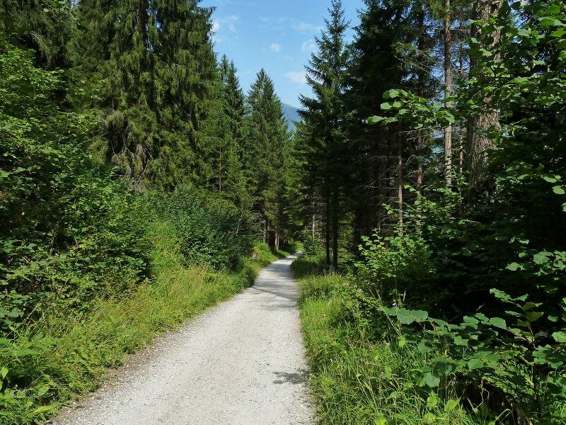
D-7111-val-meledrio-presso-dimaro.jpg
-
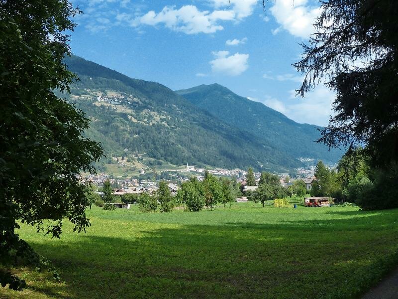
D-7122-carciato-val-di-sole-verso-monclassico.jpg
-
D-7125-percorso-dolomiti-brenta-bike-presso-carciato-dimaro.jpg
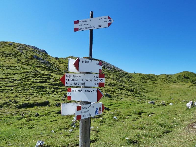
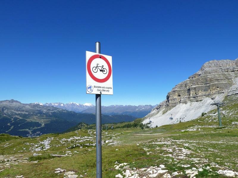
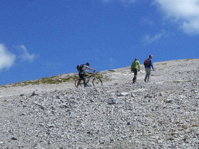
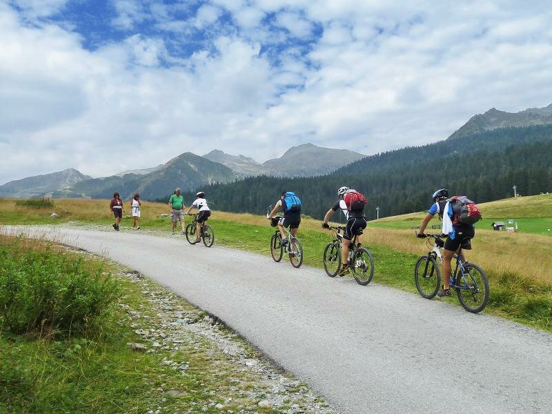
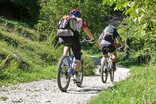
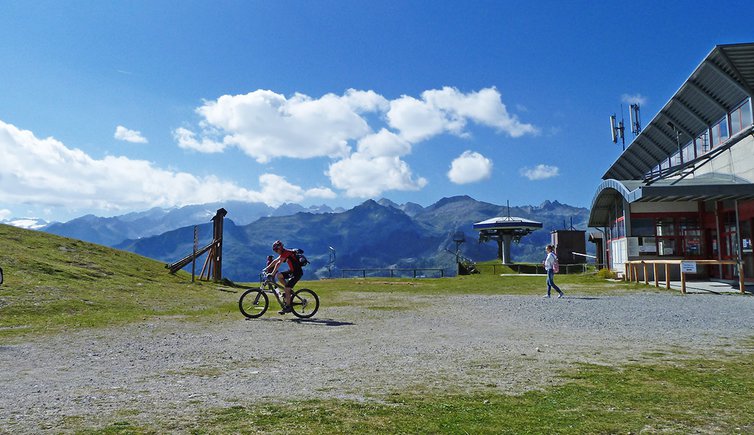
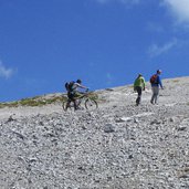
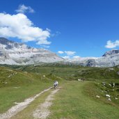
At the very beginning of this stage, an ascent of about 750 metres in altitude is our challenge. From Madonna di Campiglio up to the Monte Spinale skiing mountain and along trails and hiking paths further to the Rif. Graffer mountain hut. On this section we have to give priority to the hikers and follow the duty to wheel our bikes partly.
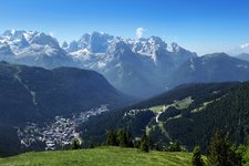
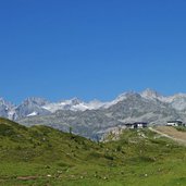
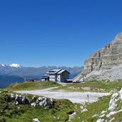
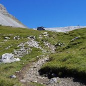
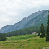
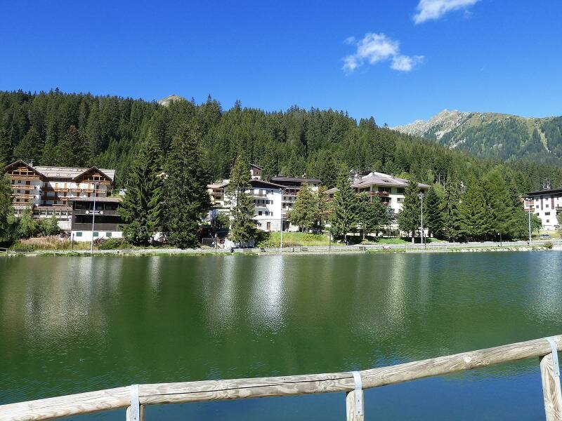
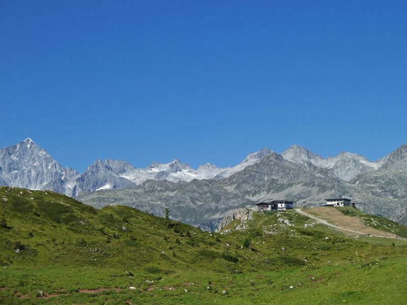
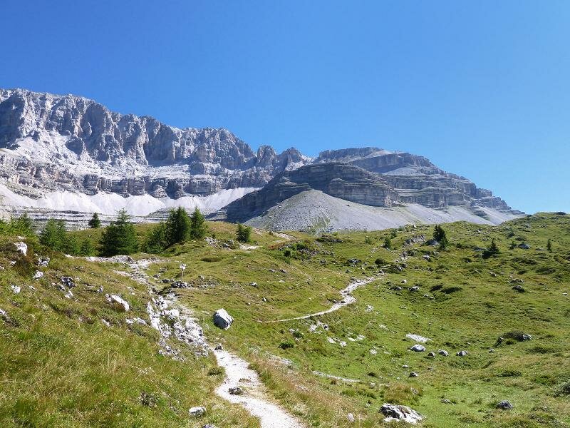
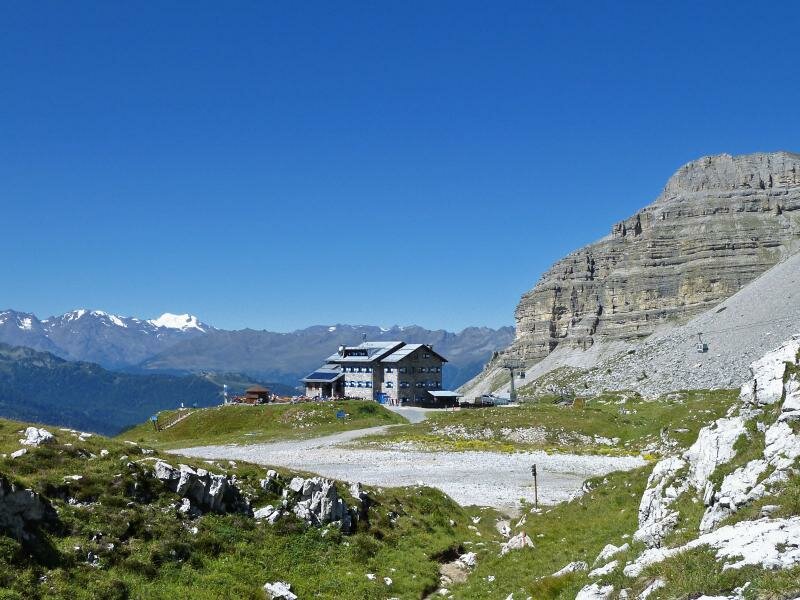
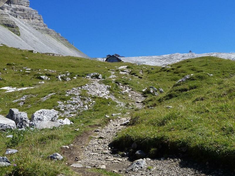
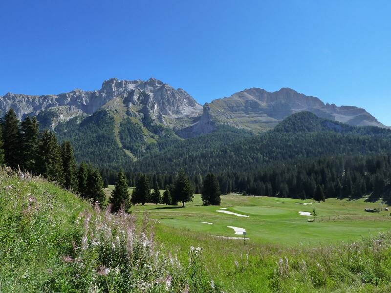
The mountain hut is located straight beneath the summit of the Pietra Grande mountain and offers a gorgeous view on the peaks of the Brenta Dolomites and the snow fields of the Adamello mountain group. Here, at 2,250 m asl., we have arrived at the highest point of our tour. And now we are really looking forward to our downhill run!
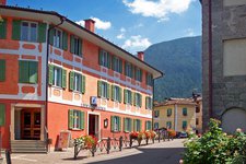
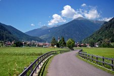
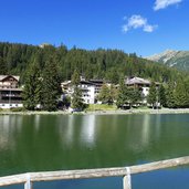
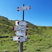
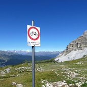
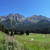
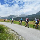
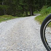
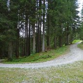
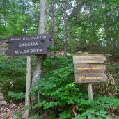
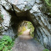
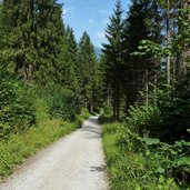
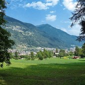
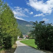
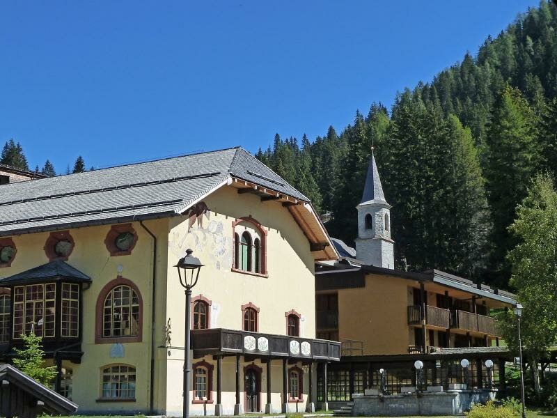
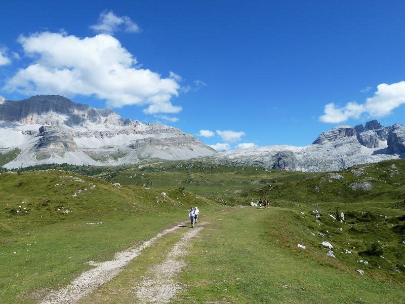
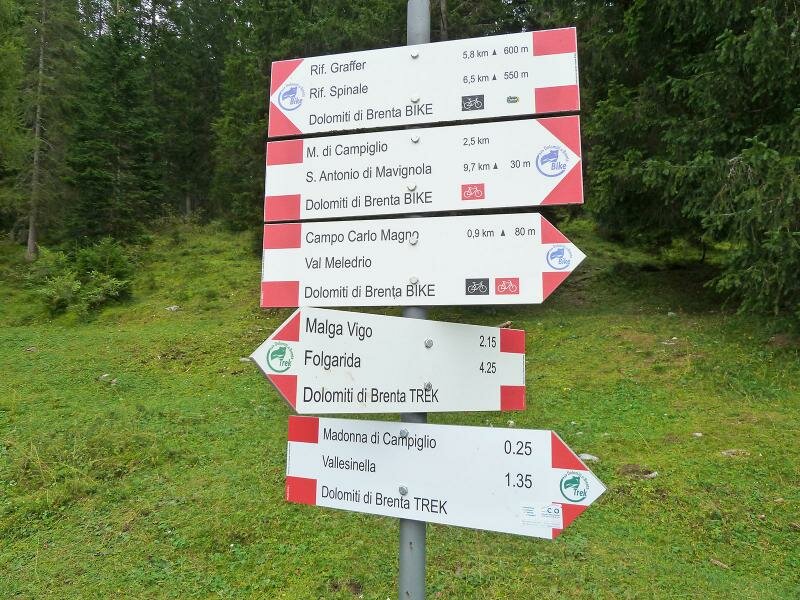
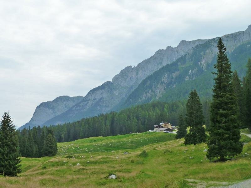
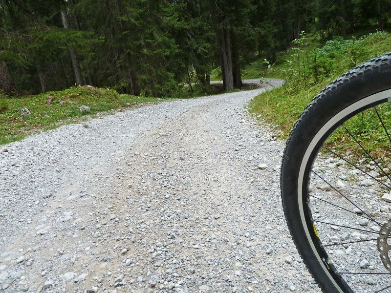
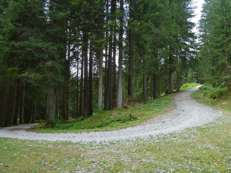
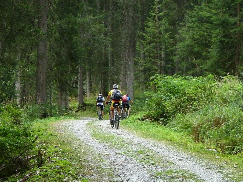
Across the slope until the Passo Campo di Carlo Magno, past the golf course and down to the woods of the Val Meledrio valley where fantastic forest roads lead us to Dimaro in the Val di Sole valley. Like this we finish our round trip around the Brenta Dolomites – a particular experience with plenty of impressions of a varying natural and cultural landscape in the southern Alps.
-
- Starting point:
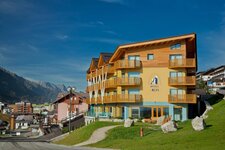
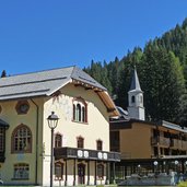
- Madonna di Campiglio
-
- Time required:
- 04:00 h
-
- Track length:
- 27,5 km
-
- Altitude:
- from 780 m to 2.256 m
-
- Altitude difference:
- +885 m | -1634 m
-
- Destination:
- Carciato (Dimaro)
-
- Resting points:
- Rifugio Spinale, Rifugio Graffer, Malga Mondifrà
-
- Track surface:
- 18.5 km gravelled road (forest path), 1.4 km asphalt, 1.3 km single trail (partly to wheel)
-
- Recommended time of year:
- Jan Feb Mar Apr May Jun Jul Aug Sep Oct Nov Dec
-
- Download GPX track:
- Dolomiti di Brenta Bike Stage 5: Campiglio - Rif. Graffer - Dimaro
If you want to do this tour, we suggest you to check the weather and trail conditions in advance and on site before setting out.