This easy walking tour to the Lake Valagola is 4 km long and proceeds along a forest path at the foot of the Dolomites. An ideal family trip
Image gallery: Walk to Lake Valagola
-
-
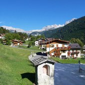
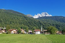
D-9683-sant-antonio-di-mavignola.jpg
-
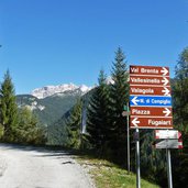
D-9676-dbb-bike-vallesinella-segnavia.jpg
-
D-9668-dbb-bike-discesa-vallesinella.jpg
-
D-9665-dbb-bike-discesa-vallesinella.jpg
-
D-9663-dbb-bike-discesa-vallesinella.jpg
-
D-9659-vallesinella-e-dolomiti-di-brenta.jpg
-
D-9652-malga-valagola-e-monte-fracinglo.jpg
-
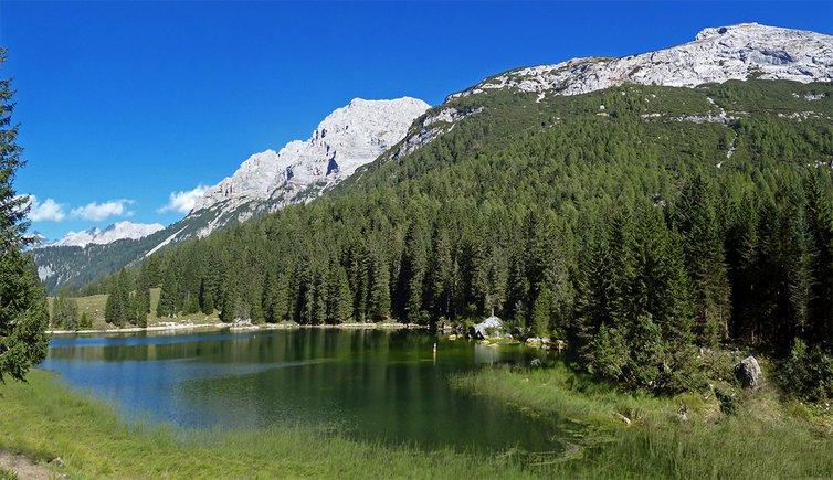
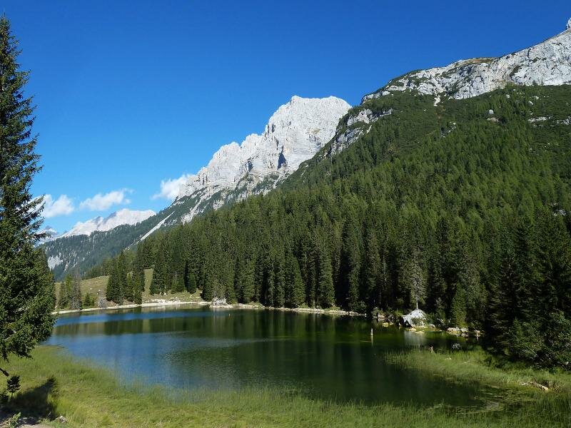
D-9642-lago-di-val-d-agola-03.jpg
-
1469342730D-9629-lago-di-val-d-agola-valagola.jpg
-
D-9621-lago-di-val-d-agola.jpg
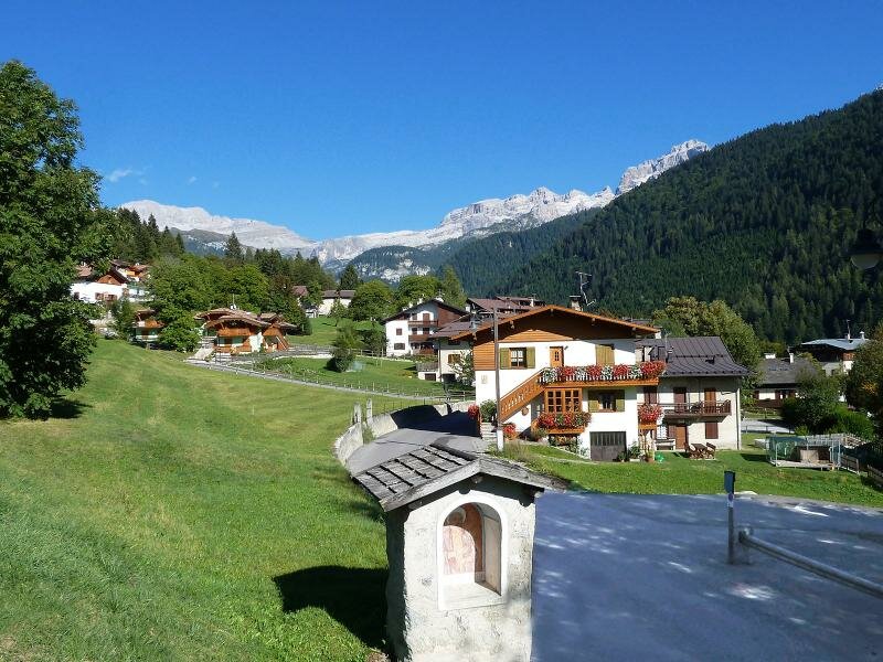
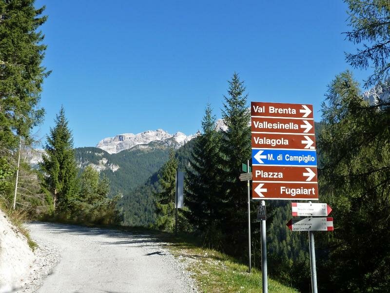
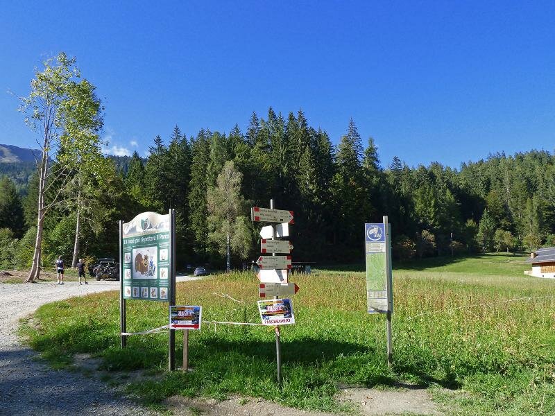
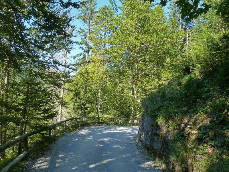
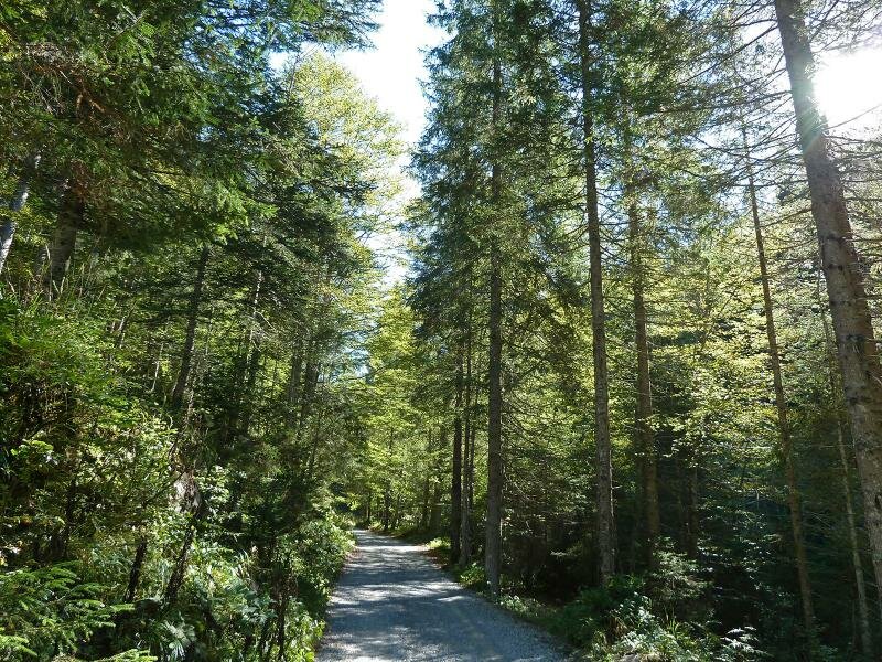
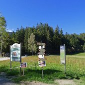
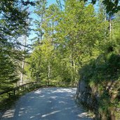
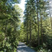
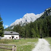
Starting point is the parking space between the Sabion mountain and the Nardis and Fracinglo peaks. The ascent takes about 90 minutes and proceeds along a wide forest path. The parking space can be reached from Sant’Antonio di Mavignola, always following the signposts to Val Brenta and Valagola.
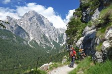
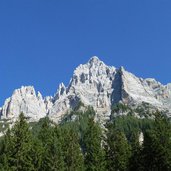
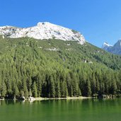
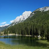
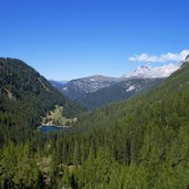
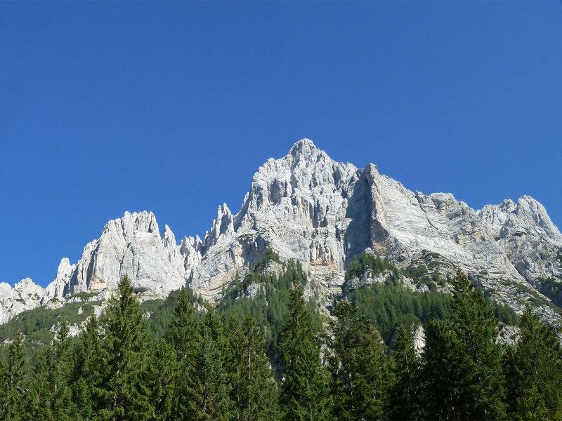
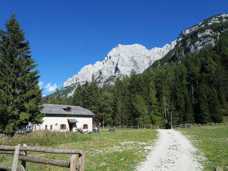
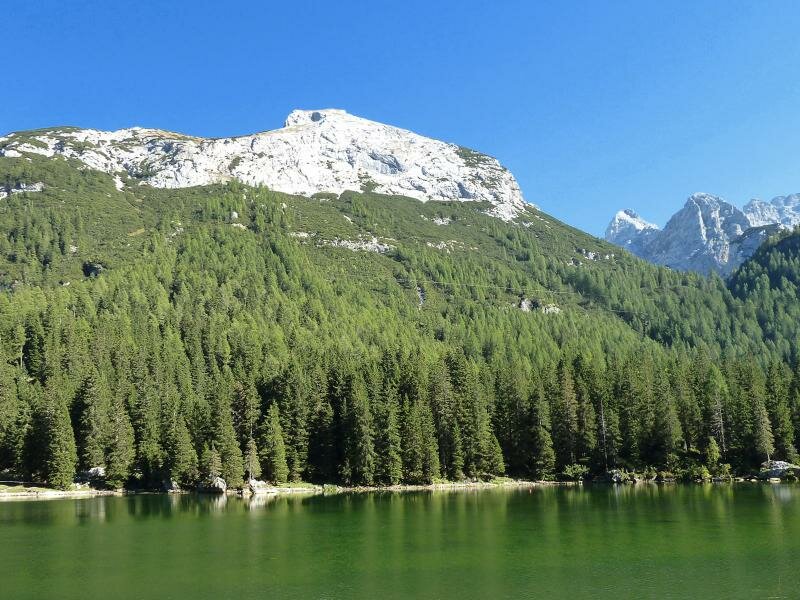
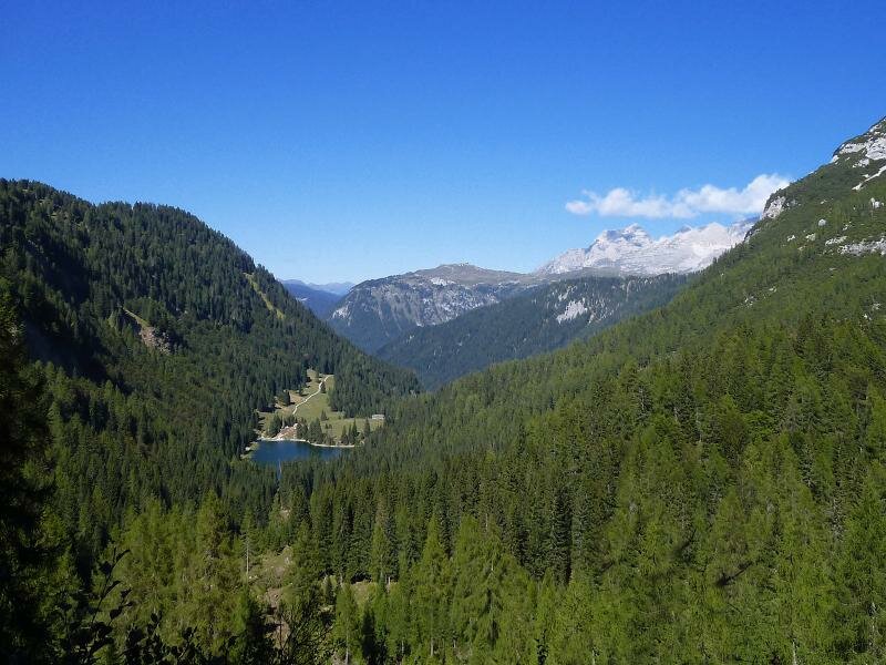
The path continues slightly uphill through the woods from Cantin to the Malga Valagola mountain hut and to the Lake Valagola. The path around the lake offers a gorgeous view on the Brenta Dolomites.
Author: AT
-
- Starting point:
- San Antonio di Mavignola, parking space at the end of the Via Valagola
-
- Time required:
- 03:25 h
-
- Track length:
- 11,2 km
-
- Altitude:
- from 1.229 m to 1.597 m
-
- Altitude difference:
- +375 m | -375 m
-
- Signposts:
- strada forestale Malga Valagola
-
- Destination:
- Lake 'Lago di Valagola'
-
- Recommended time of year:
- Jan Feb Mar Apr May Jun Jul Aug Sep Oct Nov Dec
-
- Download GPX track:
- Walk to Lake Valagola
If you want to do this hike, we suggest you to check the weather and trail conditions in advance and on site before setting out.