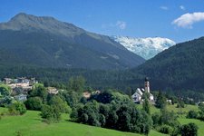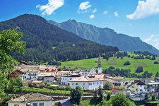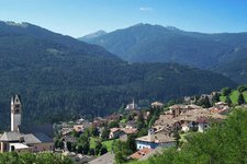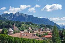
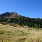
The Corno Nero mountain is enthroned above the villages of Daiano, Carano and Varena in the Val di Fiemme valley. From the Passo Oclini (Jochgrimm-Pass) the 2,439 m high summit is easily accessible
Image gallery: Hike to the Corno Nero
-
-
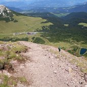
D-9591-jochgrimm-weg-14-zum-kugeljoch-sentiero-oclini-al-passo-cugola.jpg
-
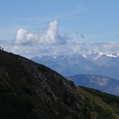
D-9593-jochgrimm-blick-auf-schwarzhorn-corno-nero-la-rocca-2.jpg
-
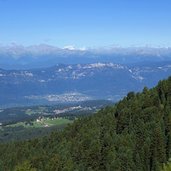
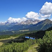
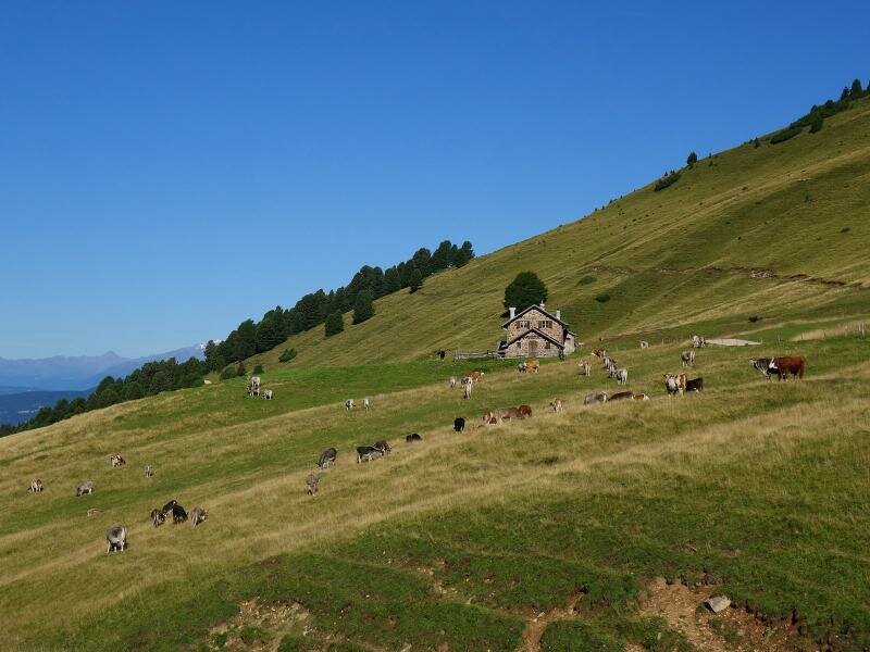
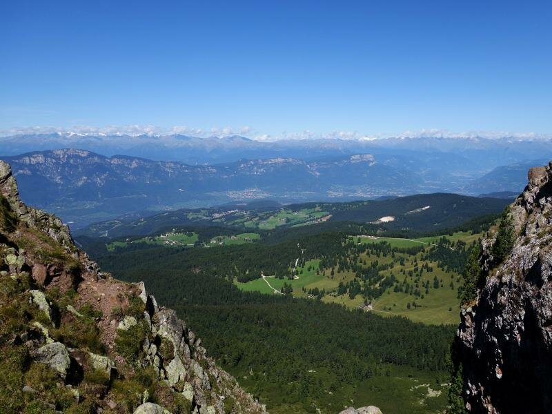
D-9611-jochgrimm-almhuetten-dahinter-mendelkamm-und-brenta-dolomiten-fr1.jpg
-
D-9629-jochgrimm-weg-14-zum-kugeljoch-sentiero-oclini-al-passo-cugola.jpg
-
D-9638-abkuerzung-schwarzhorn-weg-14-zu-502.jpg
-
D-9664-aussicht-von-kugeljoch-richtung-westen-fr1.jpg
-
D-9677-schwarzhorn-von-wg-502-aus-gesehen-corno-nero-da-ronchese-1.jpg
-
D-9685-prati-ronchese-sopra-malga-cugola-e-vista-su-val-di-fiemme-4.jpg
-
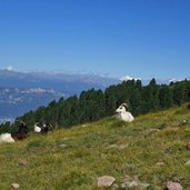
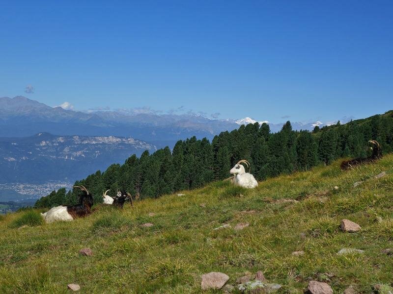
D-9687-capre-presso-prati-ronchese-sotto-corno-nero.jpg
-
D-9693-capre-presso-prati-ronchese-sotto-corno-nero-fr1.jpg
-
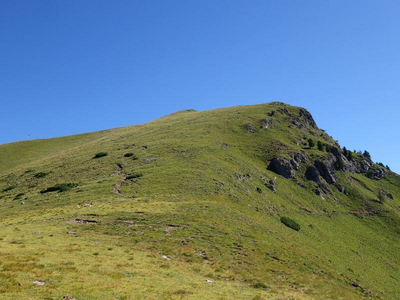
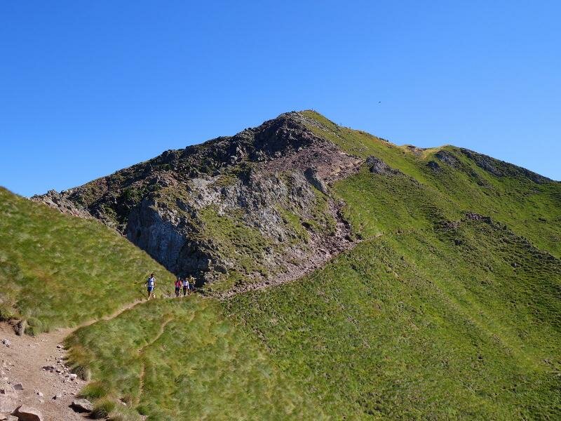
D-9698-sentiero-502-corno-nero-schwarzhorn.jpg
-
D-9723-vista-su-la-rocca-del-corno-nero-schwarzhorn-schwarzhorngrat-bis-il-palone-fr1.jpg
-
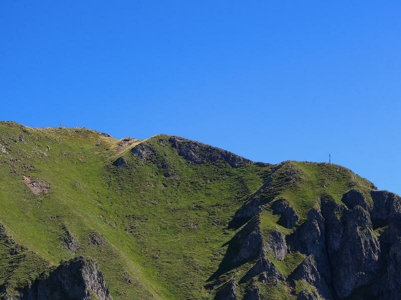
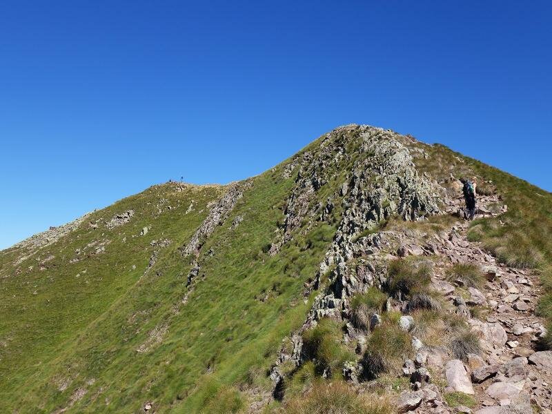
D-9792-schwarzhorngrat-corno-nero-gipfel-la-rocca-hauptgipfel-wanderer.jpg
-
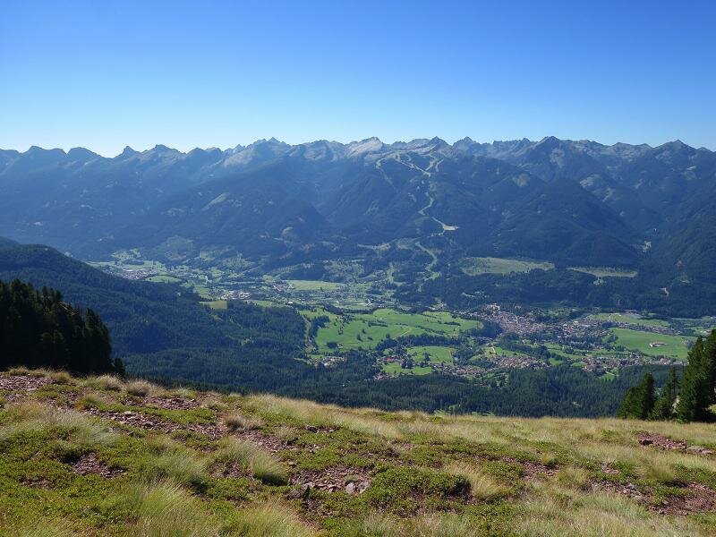
D-9794-schwarzhorn-aussicht-auf-regglberg-mit-aldein.jpg
-
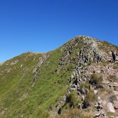
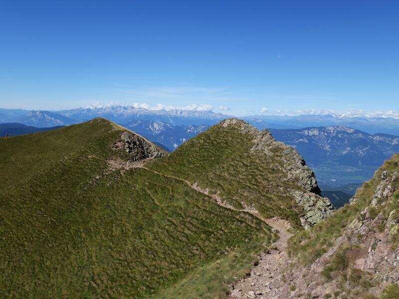
D-9805-cresta-del-corno-nero-schwarzhorngrat-1.jpg
-
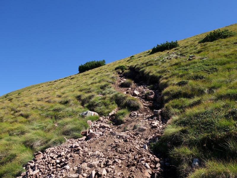
D-9810-sentiero-502-salita-corno-nero-la-rocca.jpg
-
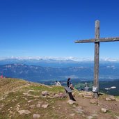
D-9814-schwarzhorn-gipfelkreuz-ost-cima-est-corno-nero-verso-fiemme.jpg
-
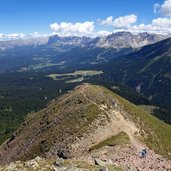
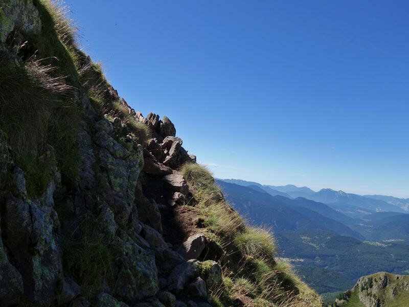
D-9822-corno-nero-schwarzhorn-letzer-anstieg-gipfel-weg-502-fr2.jpg
-
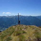
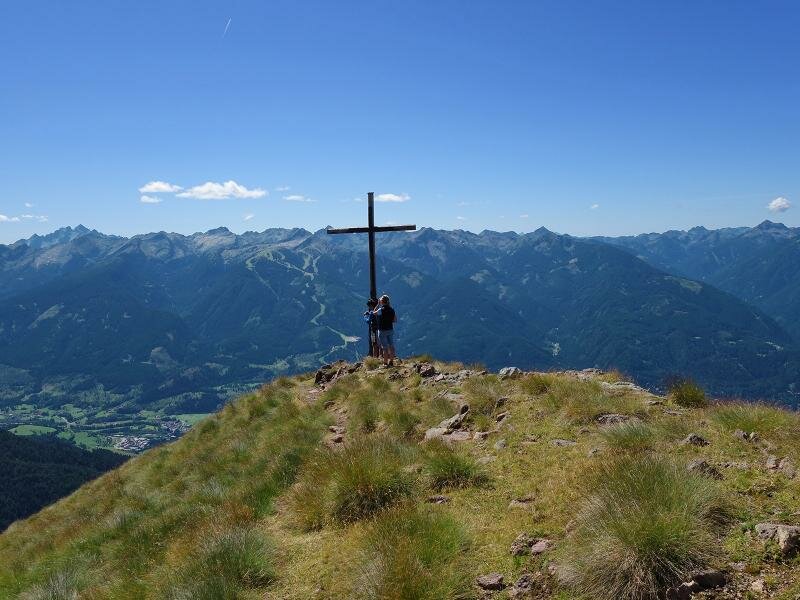
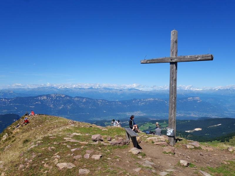
D-9824-schwarzhorn-gipfelkreuz-cima-corno-nero.jpg
-
D-9862-schwarzhorn-corno-nero-la-rocca-abstieg-weg-573.jpg
-
D-9873-schwarzhorn-corno-nero-la-rocca-abstieg-weg-573.jpg
-
D-9886-wanderer-am-abstiegsweg-nordwest-schwarzhorn.jpg
-
D-9892-schwarzhorn-speichersee-dahinter-dolomiten.jpg
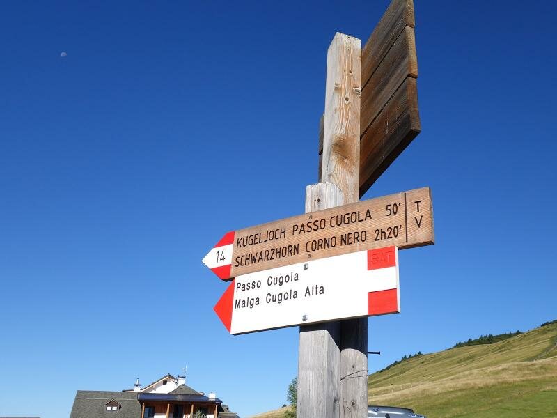
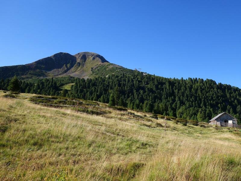
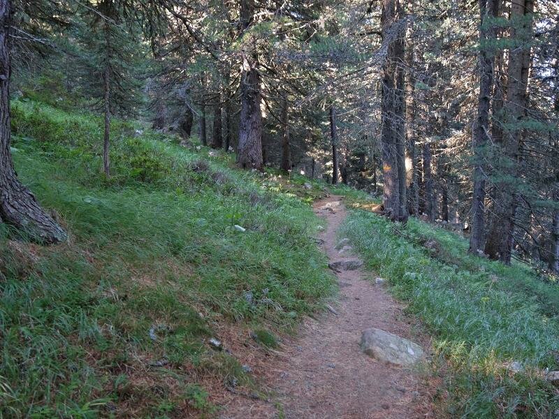
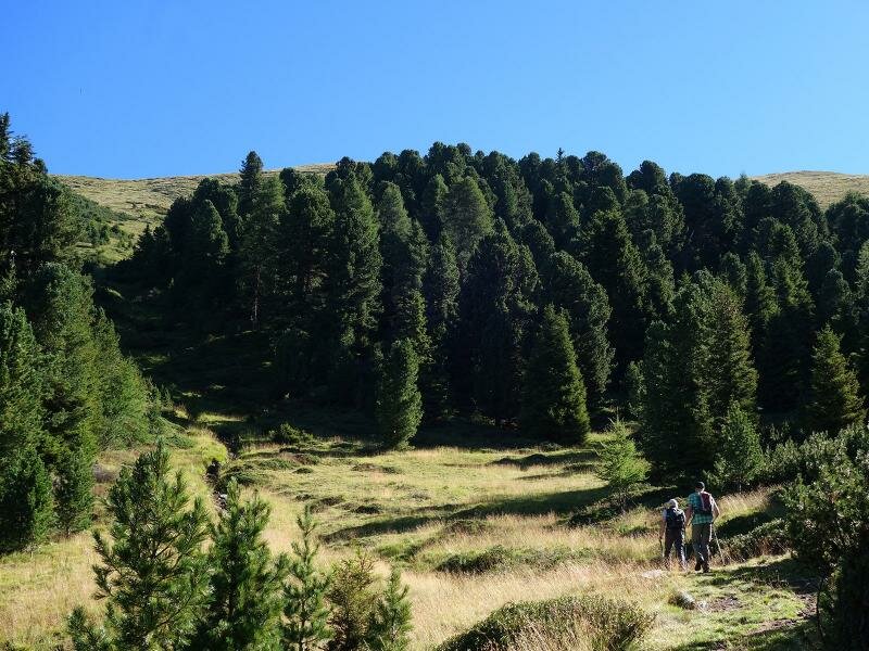
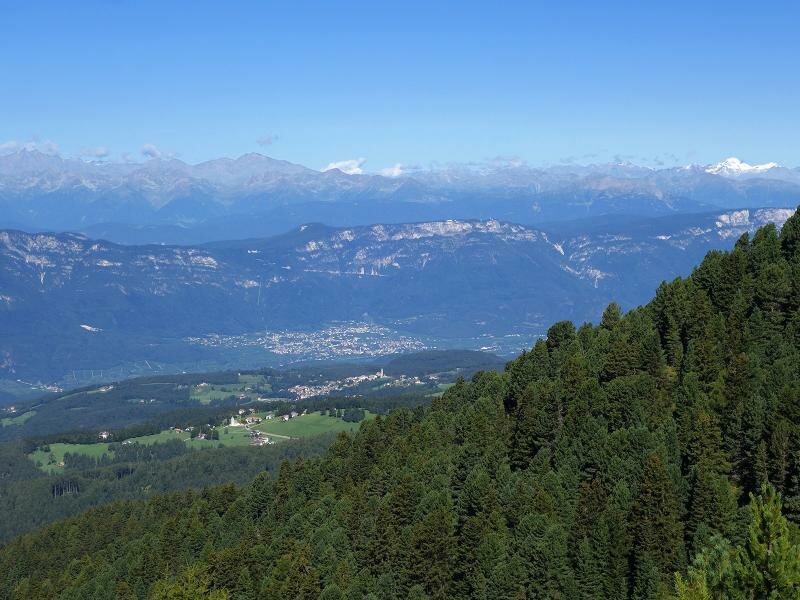
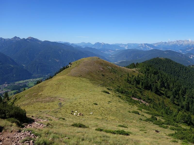
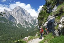
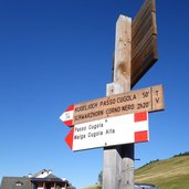
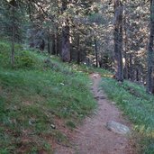
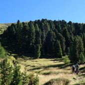
Ideal starting point for this circular walking tour across the Corno Nero (Schwarzhorn in German) is the Passo Oclini mountain pass, easily accessible via the Passo Lavazé road. We follow the path no. 14 towards the Passo Cugola (Kugeljoch), first across alpine meadows and then through the forest. After about 3 km it crosses path no. 502 which proceeds steeply uphill to the summit.
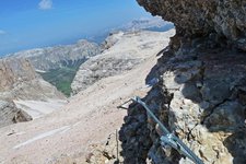
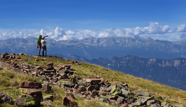
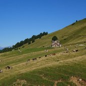
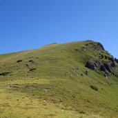
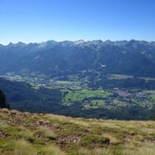
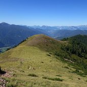
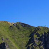
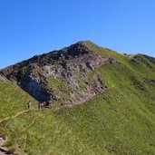
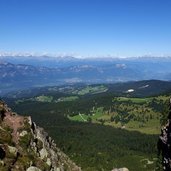
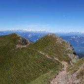
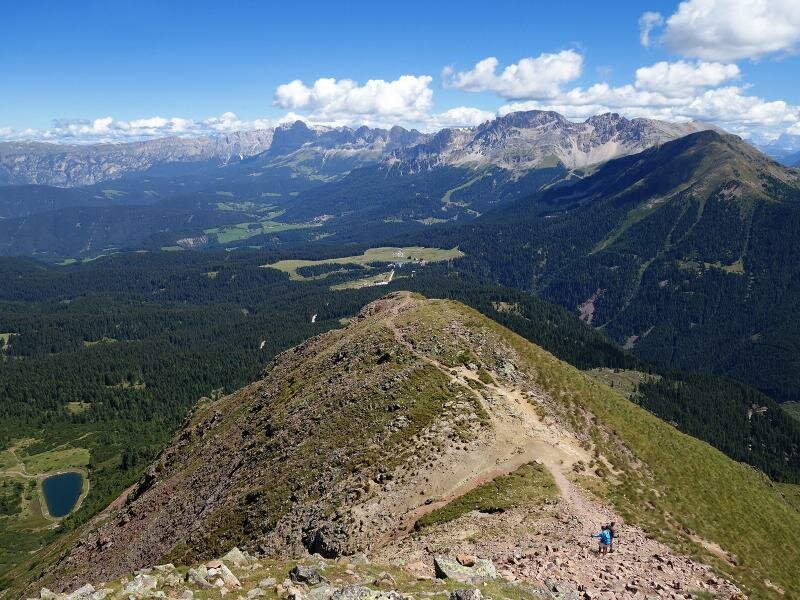
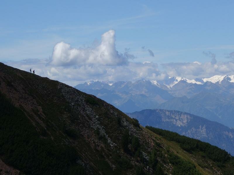
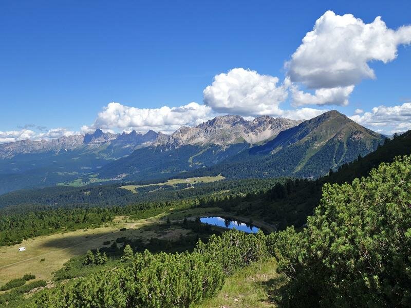
On the green mountain ridge, a herd of goats are grazing, our path leads us up to the 2,350 m high Palon, our first summit. From there we walk to the south peak along the crest. Via a steep and rocky crux we finally reach the first summit cross and enjoy the view across the Val di Fiemme valley to the Lagorai Group and the Dolomites. Only few minutes later we stand on the main summit where the view extends towards north and west. And what a view! From the neighbouring Corno Bianco to the Alpine divide, from the Ötztal Alps across Ortles and Adamello to the Brenta Dolomites and even further.
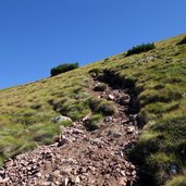
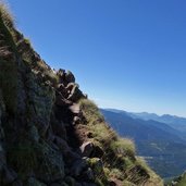
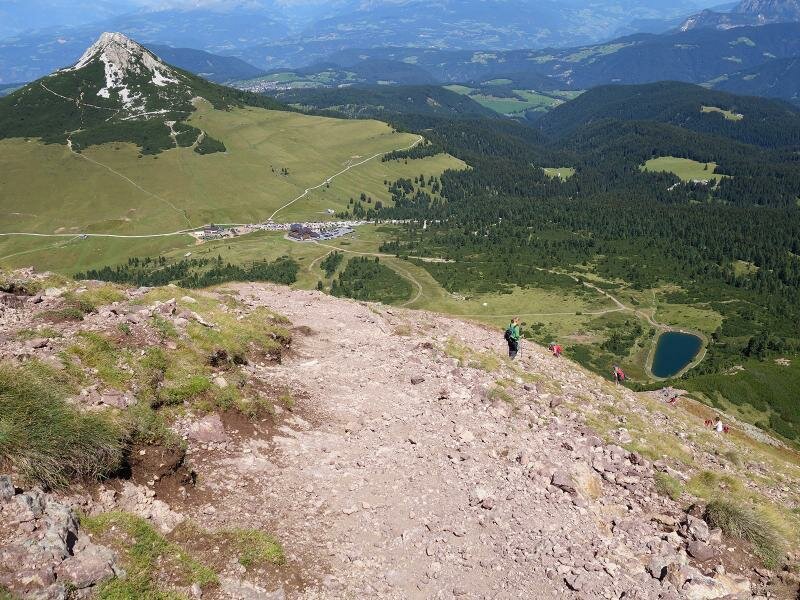
The descent along the path no. 502 should not be underestimated. Loose rocks and a slippery bed of sand and turf make surefootedness, sturdy shoes and attention to the other hikers obligatory, to avoid unpleasant surprises.
Author: AT
-
- Starting point:
- Passo Oclini (parking space)
-
- Time required:
- 03:20 h
-
- Track length:
- 6,7 km
-
- Altitude:
- from 1.949 m to 2.439 m
-
- Altitude difference:
- +559 m | -559 m
-
- Route:
- Passo Cugola, Palone, Corno Nero Crest, La Rocca Peak, Corno Nero Peak, Passo Oclini
-
- Signposts:
- no. 14, 502, 573
-
- Recommended time of year:
- Jan Feb Mar Apr May Jun Jul Aug Sep Oct Nov Dec
-
- Download GPX track:
- Hike to the Corno Nero
If you want to do this hike, we suggest you to check the weather and trail conditions in advance and on site before setting out.