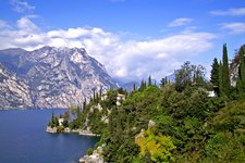
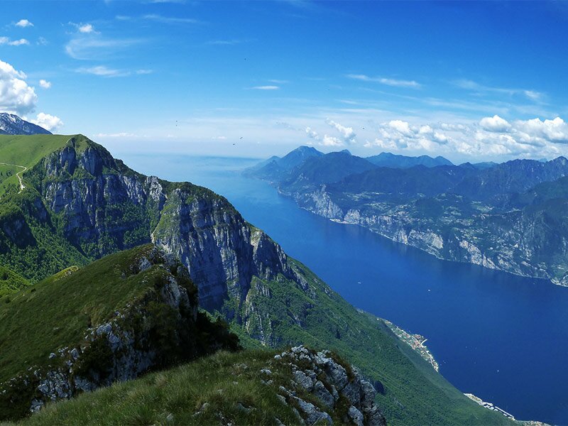
The Monte Altissimo di Nago dominates the Lago di Garda lake and is perfect for the first mountain hike in late spring
Image gallery: Hike to the Altissimo di Nago on Mt Baldo
-
-
D-0150-funivia-monte-baldo-a-malcesine.jpg
-
D-0165-funivia-monte-baldo-e-lago-di-garda.jpg
-
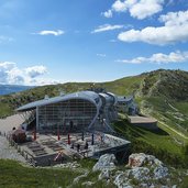
D-0192-funivia-monte-baldo-stazione-a-monte.jpg
-
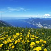
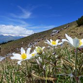
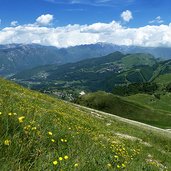
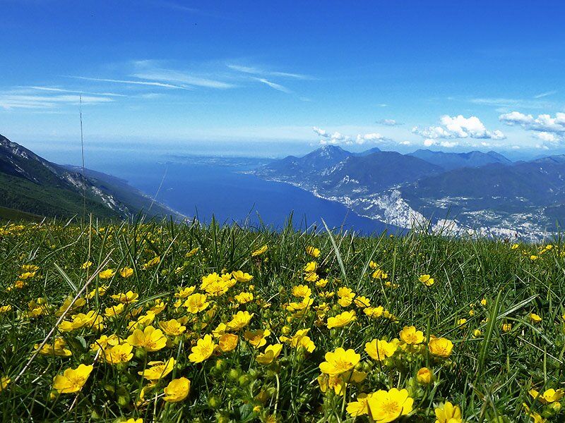
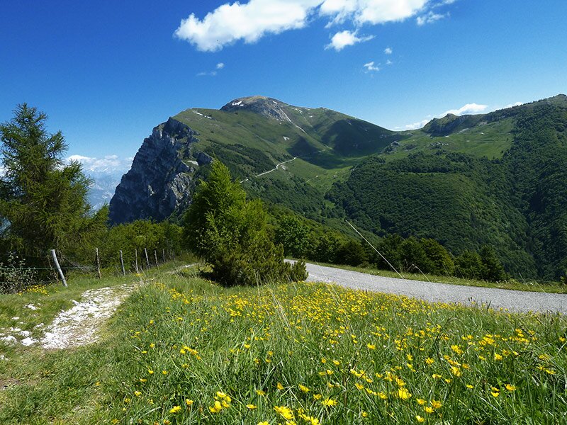
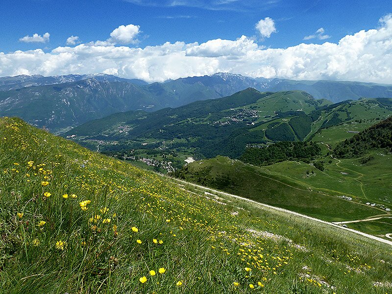
D-0293-prato-in-fioritura-sul-monte-baldo-con-lago-di-garda.jpg
-
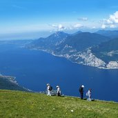
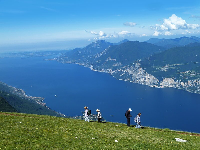
D-0299-escursionisti-sul-monte-baldo-sfondo-lago-di-garda.jpg
-
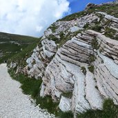
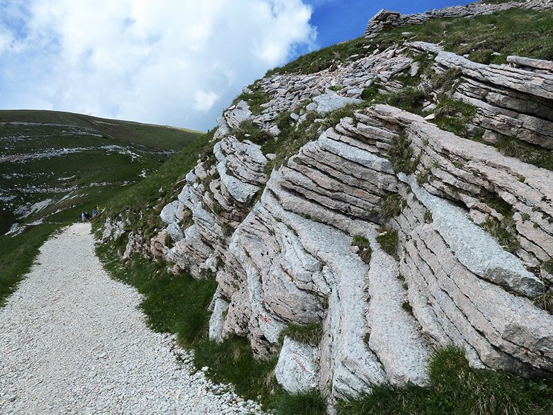
D-0322-monte-altissimo-di-nago.jpg
-
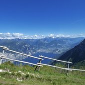
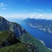
D-0351-lago-di-garda-nord-da-monte-baldo.jpg
-
D-0384-vista-su-monte-altissimo-di-nago.jpg
-
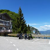
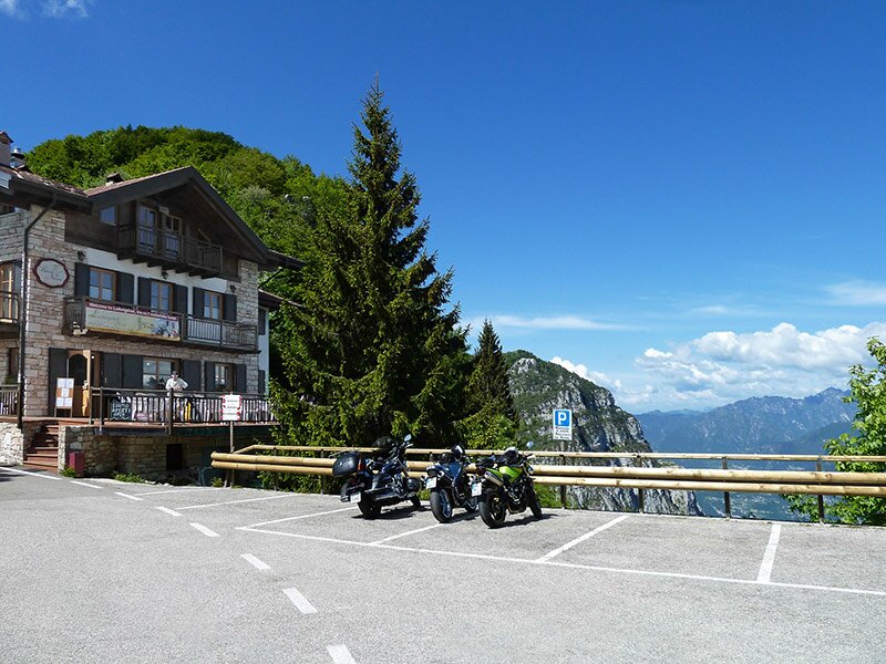
D-0407-motociclette-a-bocca-di-navene.jpg
-
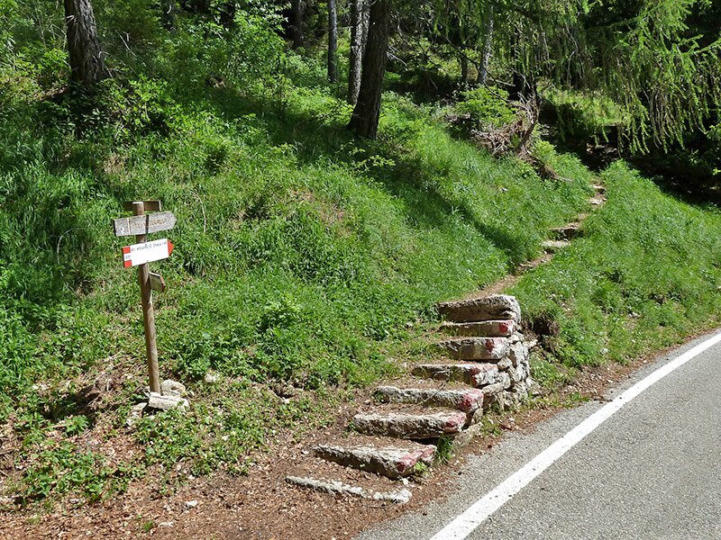
D-0422-bivio-sentiero-monte-altissimo.jpg
-
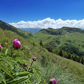
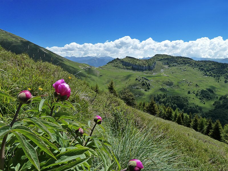
D-0456-peonie-su-monte-altissimo-di-nago.jpg
-
D-0480-lago-di-garda-da-altissimo-di-nago.jpg
-
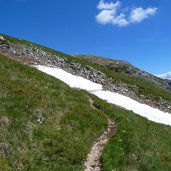
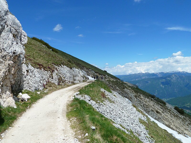
D-0500-sentiero-salita-monte-altissimo.jpg
-
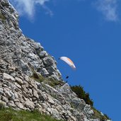
D-0546-parapendio-monte-altissimo-di-nago.jpg
-
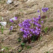
D-0564-soldanelle-su-monte-altissimo-di-nago.jpg
-
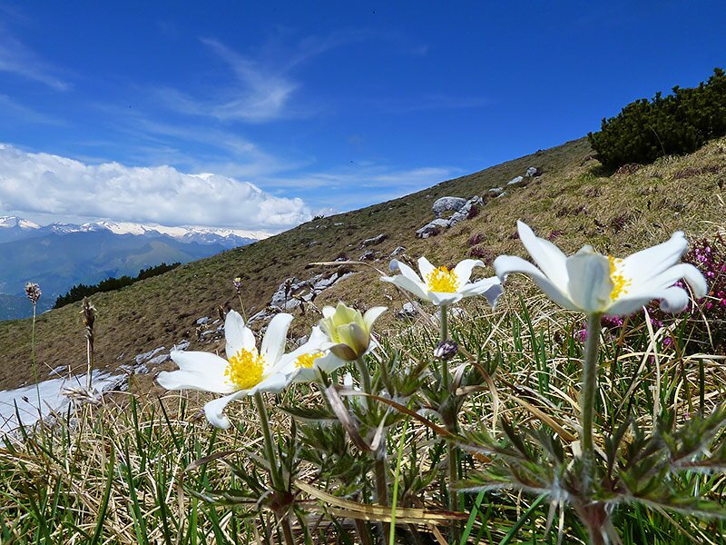
D-0616-anemone-sul-monte-altissimo.jpg
-
D-0634-lago-di-garda-settentrionale-garda-trentino.jpg
-
D-0636-rondini-sul-monte-altissimo.jpg
-
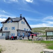
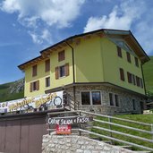
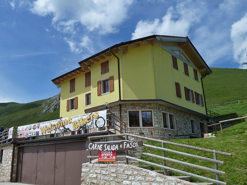
D-0691-rifugio-damiano-chiesa-su-monte-altissimo-di-nago.jpg
-
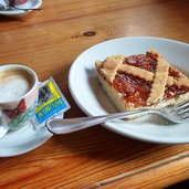
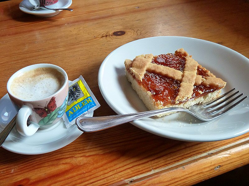
D-0693-pausa-cafe-e-crostata-rifugio-daminan-chiesa-mt-altissimo-di-nago.jpg
-
D-0709-discesa-dal-monte-altissimo-di-nago.jpg
-
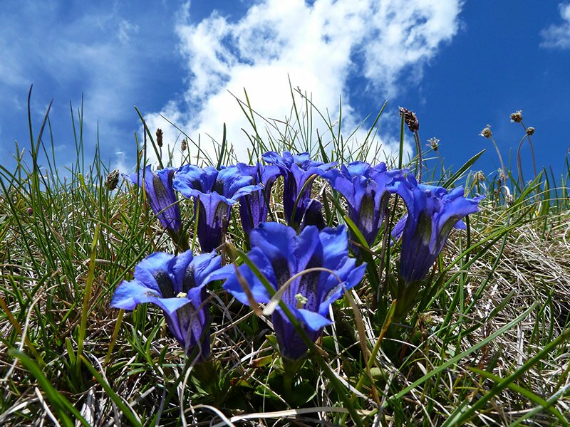
D-0713-genziane-del-monte-altissimo-di-nago.jpg
-
D-0730-discesa-da-monte-altissimo-di-nago.jpg
-
D-0734-discesa-monte-altissimo-e-vista-verso-la-polsa-di-brentonico.jpg
-
D-0756-albergo-graziani-sotto-altissimo-di-nago.jpg
-
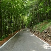
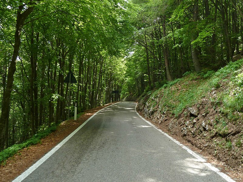
D-0772-strada-provinciale-del-monte-baldo.jpg
-
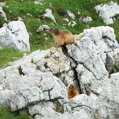
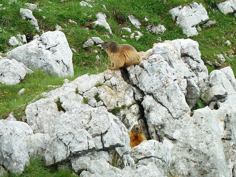
D-0809-marmotte-del-monte-baldo.jpg
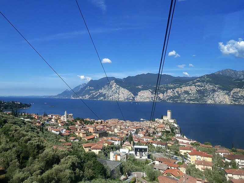
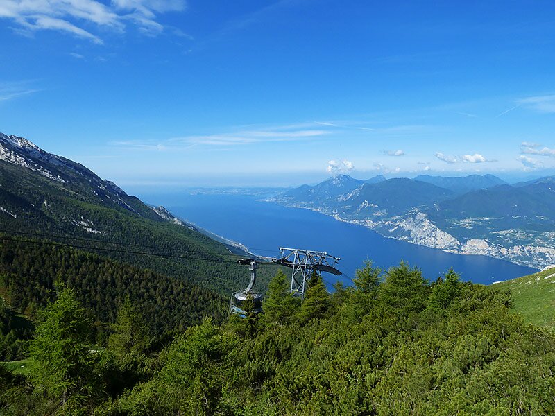
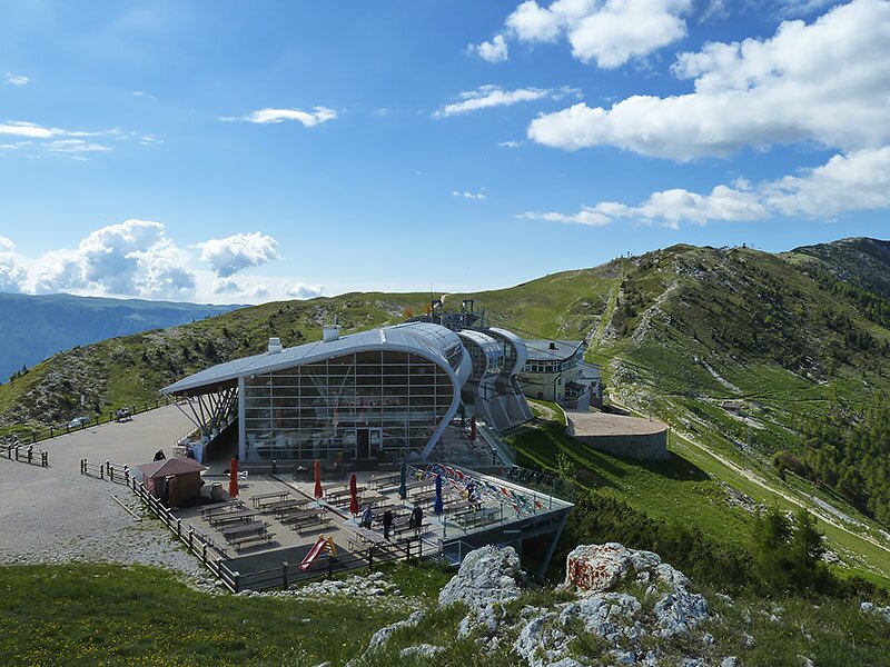
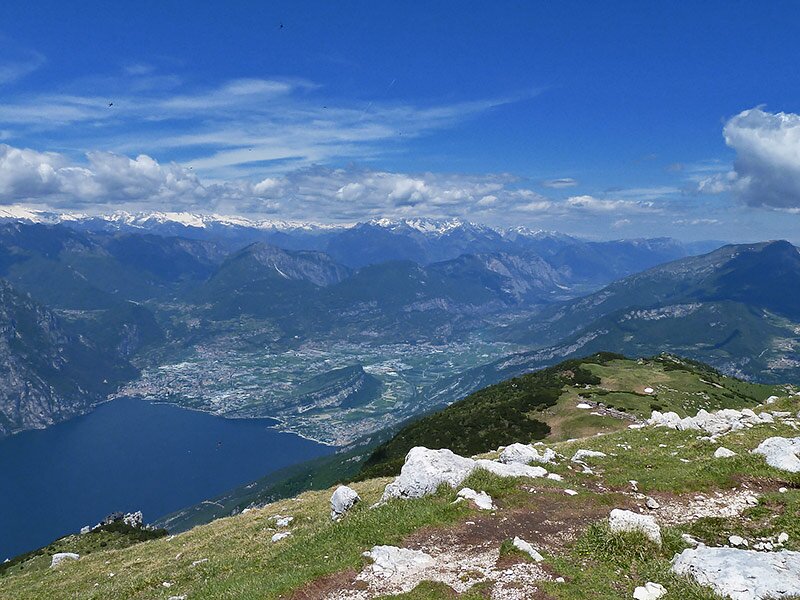
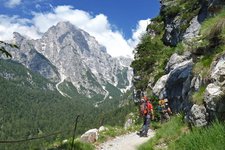
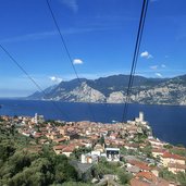
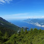
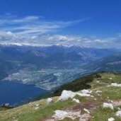
We do this easy but quite long mountain hike in the Monte Baldo group at the beginning of June. At Malcesine we take the panoramic funicular up to the Monte Baldo. Via the mid-station we reach the top at an altitude level of 1,700 m a.s.l. During the ascent we enjoy the arresting view to the Lago di Garda.
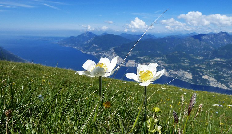
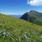
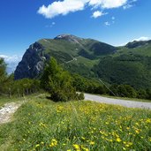
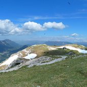
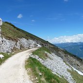
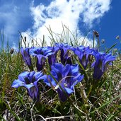
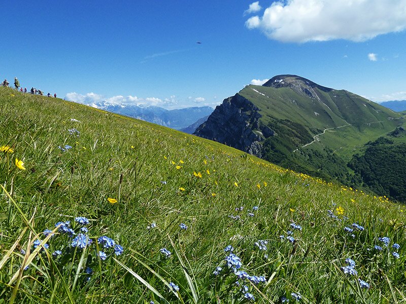
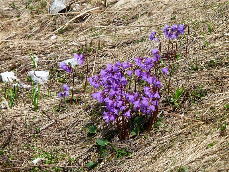
At the top station we start our hike: the path leads towards north across rolling mountain meadows. The view is gorgeous and reaches from the southern bank of the Lago di Garda in the Padan Plain until the snow covered peaks of the Adamello-Glacier in the west and the Main Chain of the Alps in the north. The meadows covered with anemones, gentian, buttercup and cinquefoil slope down towards north. We walk down to the Bocca di Navene (restaurant).
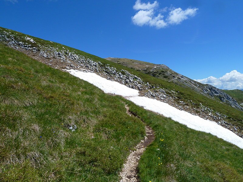
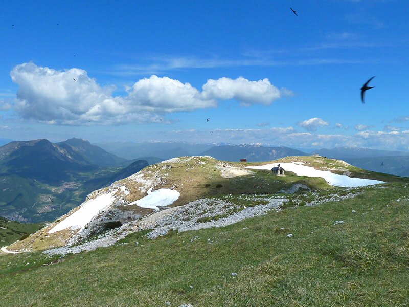
On this saddle we follow the asphalt road for a short while until a path leads up on the left (marker “Altissimo di Nago”). It takes us up, again across alpine meadows, to the top of the mountain at an altitude of 2,079 m a.s.l.
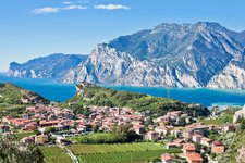
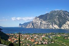
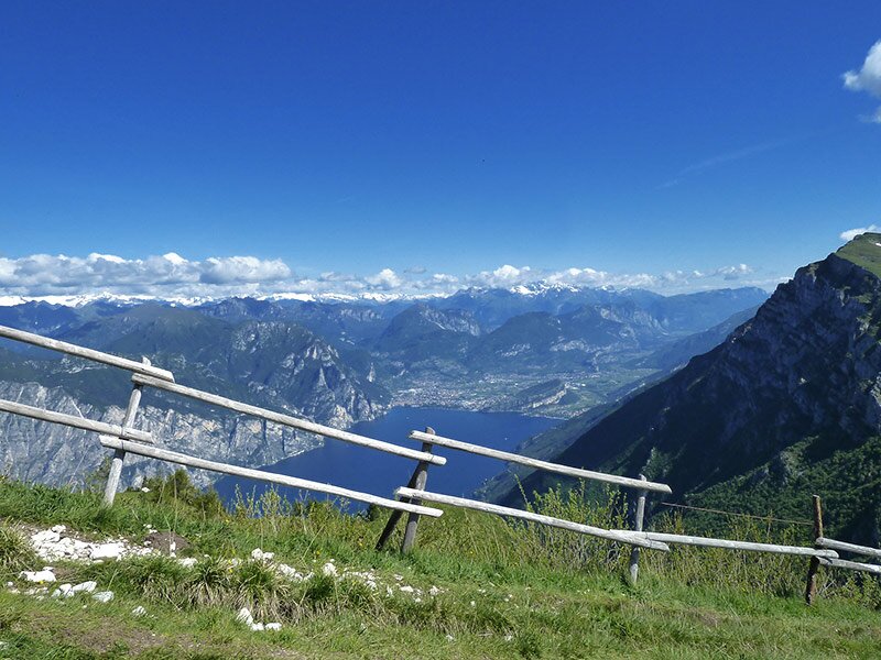
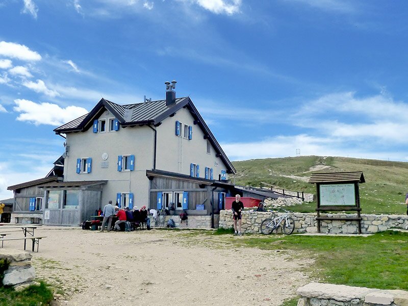
Last snow patches and signs of spring (blooming snowbells, buttercup, cowslips and crocus) greet us. We have an amazing view to the area between Ledro, Riva del Garda, the Monte Brione and Torbole and further easterly to the Val di Gresta and the Monte Stivo. After a short rest at the mountain hut we walk down to the Albergo Graziani and follow the asphalt road, which leads us via the Bocca di Navene back to the mountain station of the funicular.
A tour with wonderful panorama, surrounded by the very special south-alpine vegetation of the mountains at the Lago di Garda.
Author: AT
-
- Starting point:
- Malcesine, Monte Baldo funicular
-
- Time required:
- 06:00 h
-
- Track length:
- 16,7 km
-
- Altitude:
- from 1.423 m to 2.052 m
-
- Altitude difference:
- +977 m | -977 m
-
- Route:
- funicular mountain station Monte Baldo - Bocca di Navene - Altissimo di Nago mountain hut - Rifugio Graziani - funicular mountain station Monte Baldo
-
- Destination:
- Rifugio Altissimo
-
- Resting points:
- Bocca di Navene, Rifugio Altissimo, Rifugio Graziani mountain hut
-
- Recommended time of year:
- Jan Feb Mar Apr May Jun Jul Aug Sep Oct Nov Dec
-
- Download GPX track:
- Hike to the Altissimo di Nago on Mt Baldo
If you want to do this hike, we suggest you to check the weather and trail conditions in advance and on site before setting out.