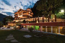
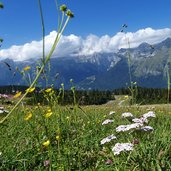
The Paganella, the mountain between Trento and Andalo, is a skier’s paradise in winter and a beautiful hiking area in summer
Image gallery: Mountain tour to Mt Paganella
-
-
1320051706_D-6997-funivia-paganella-2001-andalo-doss-pel.jpg
-
1320051706_D-7029-indicazioni-malga-zambana.jpg
-
1320051706_D-7047-presso-malga-zambana.jpg
-
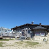
1320051706_D-7053-ristorante-malga-zambana.jpg
-
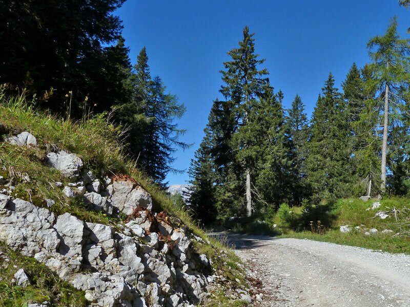
1320051706_D-7071-percorso-verso-nord.jpg
-
1320051706_D-7091-salita-per-rifugio-dosso-larici.jpg
-
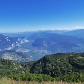
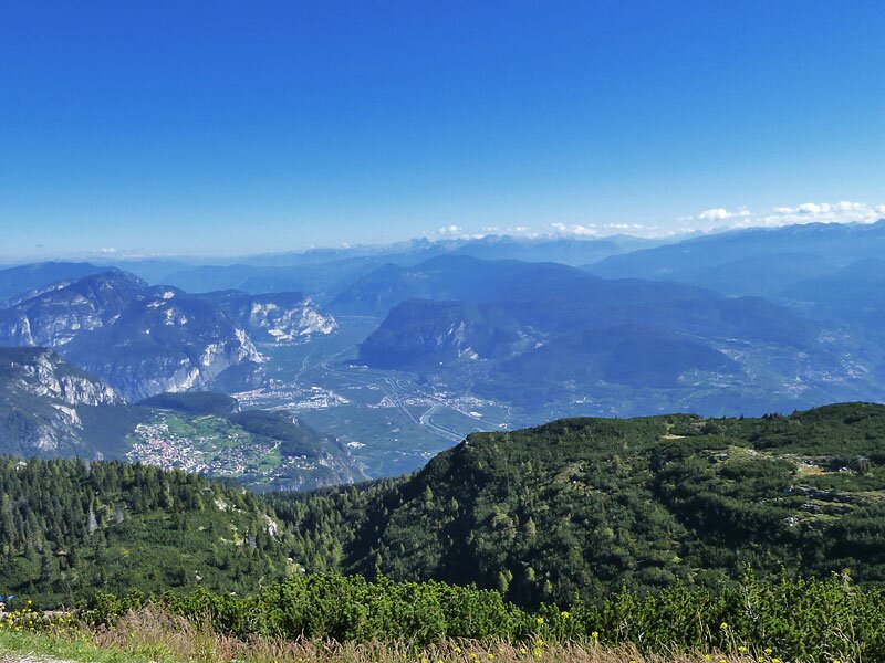
1320051706_D-7128-vista-sulla-val-d-adige-rotaliana-fai.jpg
-
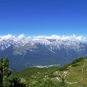
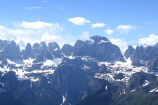
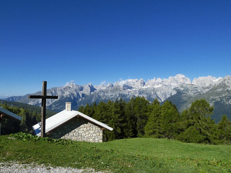
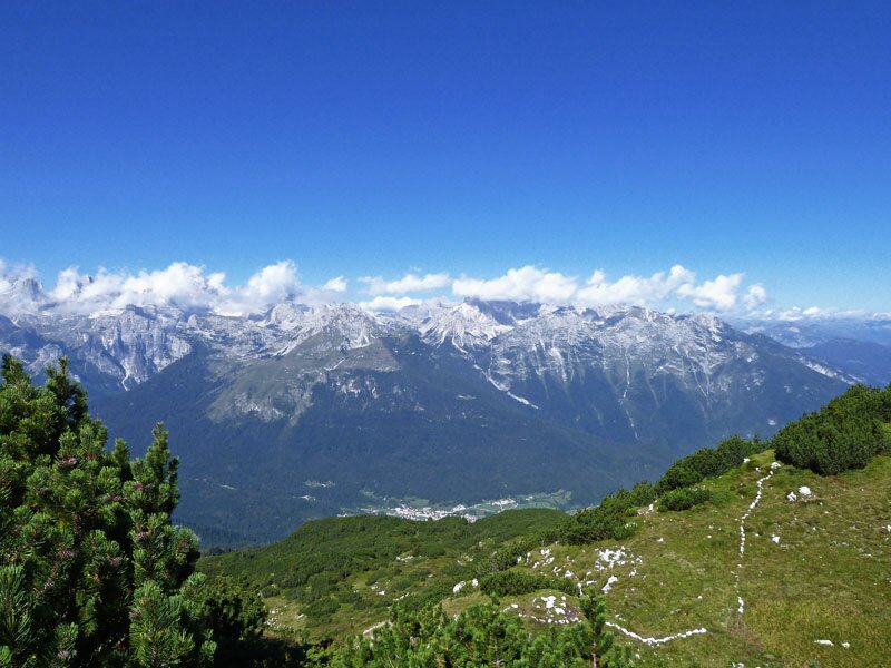
1320051706_D-7139-vista-su-dolomiti-di-brenta.jpg
-
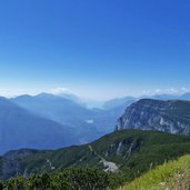
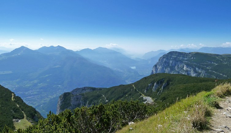
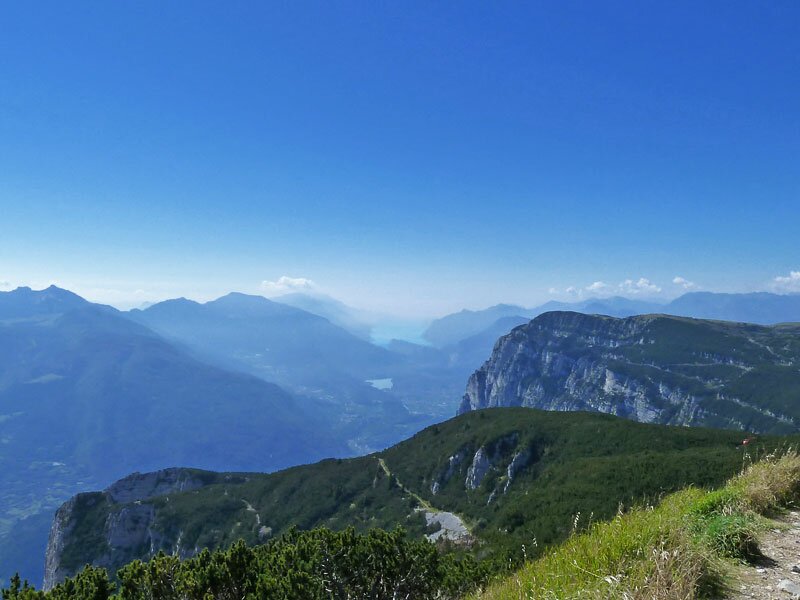
1320051706_D-7166-vista-verso-lago-di-garda.jpg
-
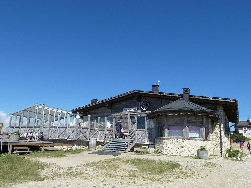
1320051706_D-7177-rifugio-baita-la-roda-paganella.jpg
-
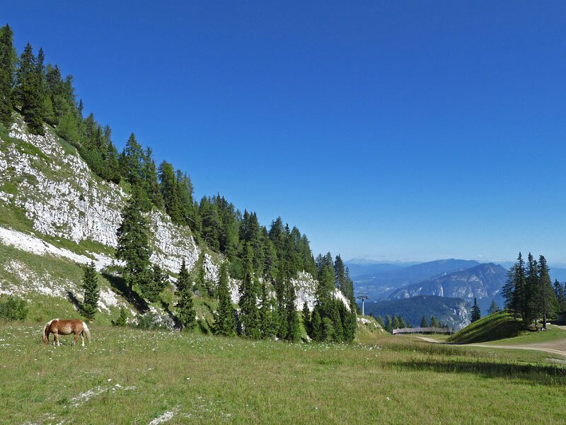
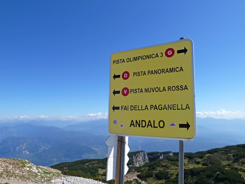
1320051706_D-7180-piste-paganella.jpg
-
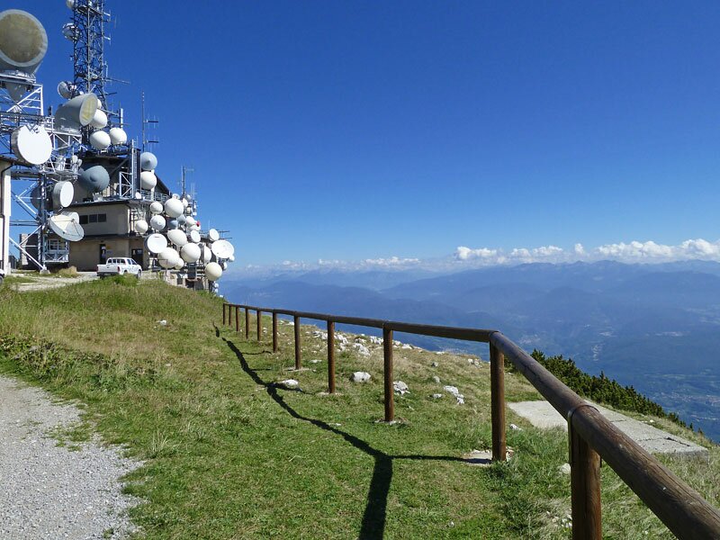
1320051706_D-7199-impianti-trasmissione-radio-tv-paganella.jpg
-
1320051706_D-7210-antenne-ripetitori-paganella.jpg
-
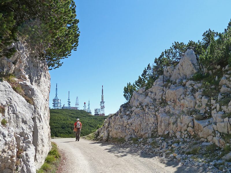
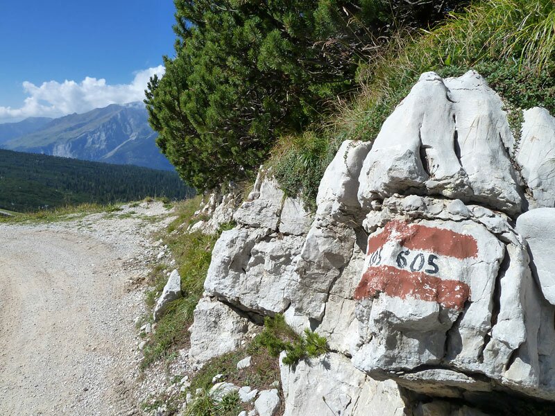
1320051706_D-7222-paganella-percorso-605.jpg
-
1320051706_D-7225-vista-verso-monte-gazza.jpg
-
1320051706_D-7230-escursionisti-paganella.jpg
-
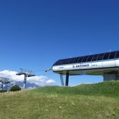
1320051706_D-7242-passo-san-antonio-seggiovia.jpg
-
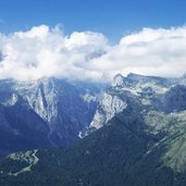
1320051706_D-7258-vista-su-valle-delle-seghe-gruppo-brenta.jpg
-
1320051706_D-7278-prati-presso-malga-terlago.jpg
-
1320051706_D-7286-malga-terlago.jpg
-
1320051706_D-7322-ritorno-in-cabinovia.jpg
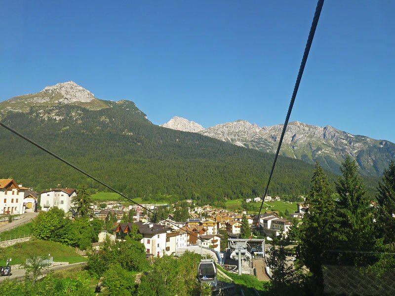
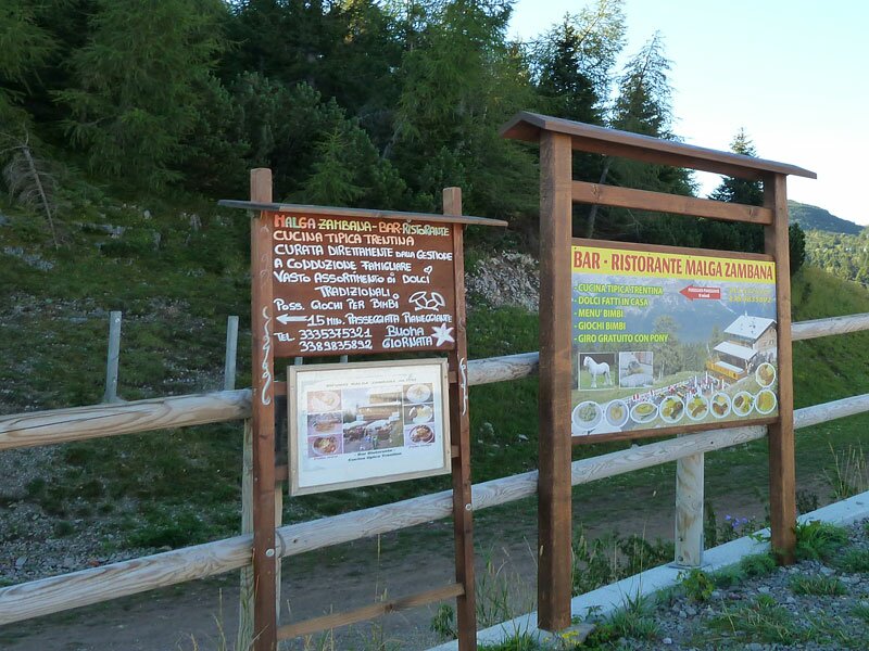

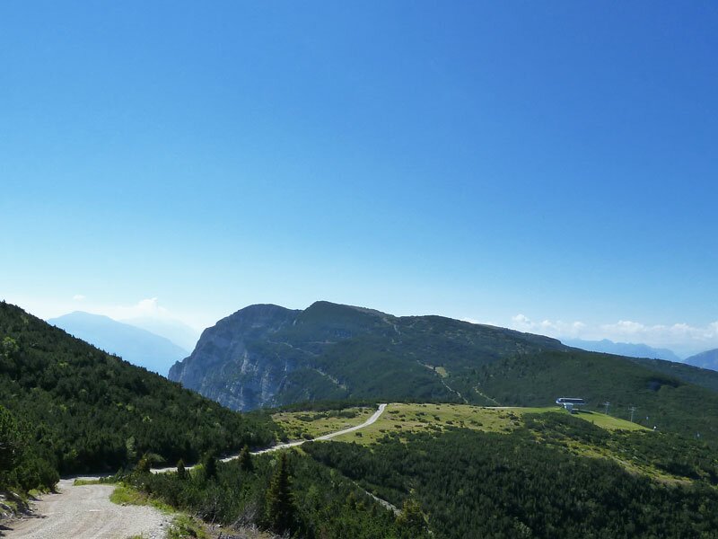
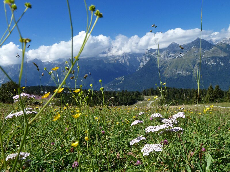
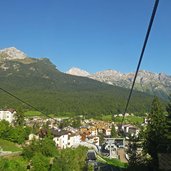
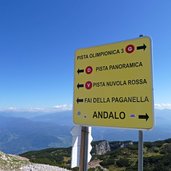
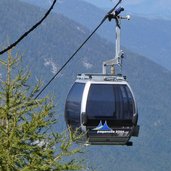
In the village centre of Andalo the Doss Pelà funicular up to the Paganella mountain starts. The top station is located at 1,730 m a.s.l., there we follow the path towards the Malga Zambana (mountain hut) which we reach 15 minutes later.
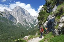
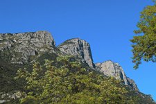
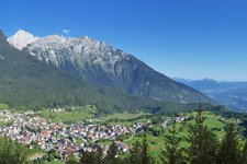
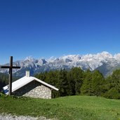
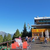
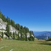
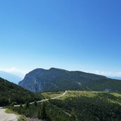
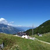
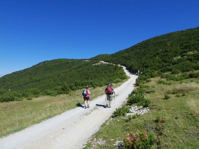
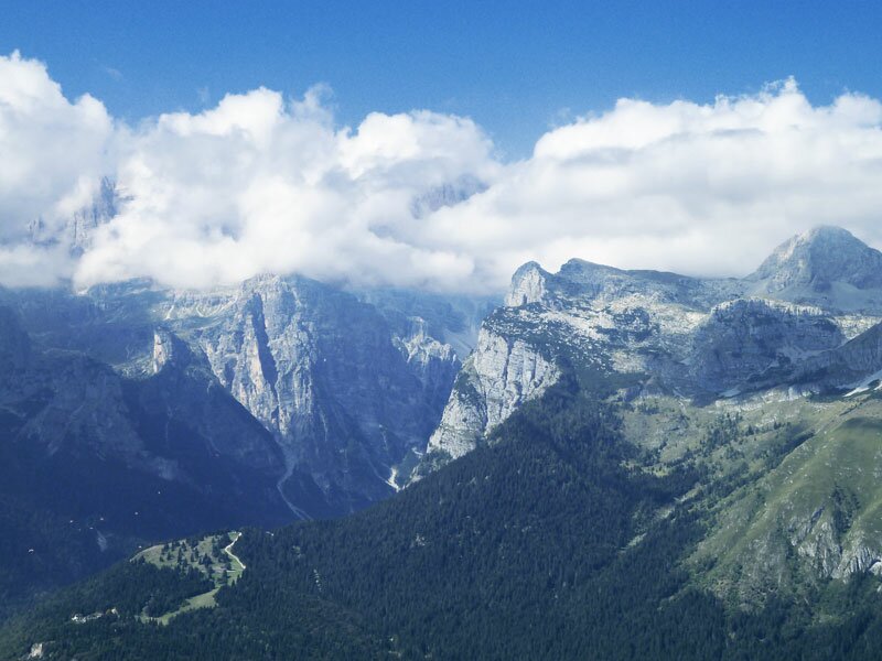
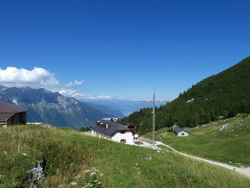
After a coffee break we proceed towards north, through the thick coniferous forest which is only interrupted by the ski slopes. The ascent towards Dosso Larici starts, higher up we reach the “Selletta” then the last part up to the Paganella peak follows. There at the Rifugio La Roda (mountain hut) we have a gorgeous view on the Brenta Dolomites, Val di Non and Val d'Adige, Val di Cembra and Val di Fiemme as well as on Trento and Lake Garda.
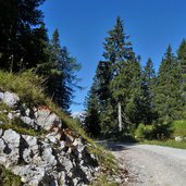
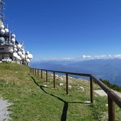
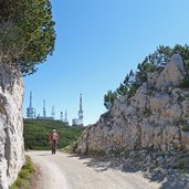
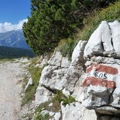
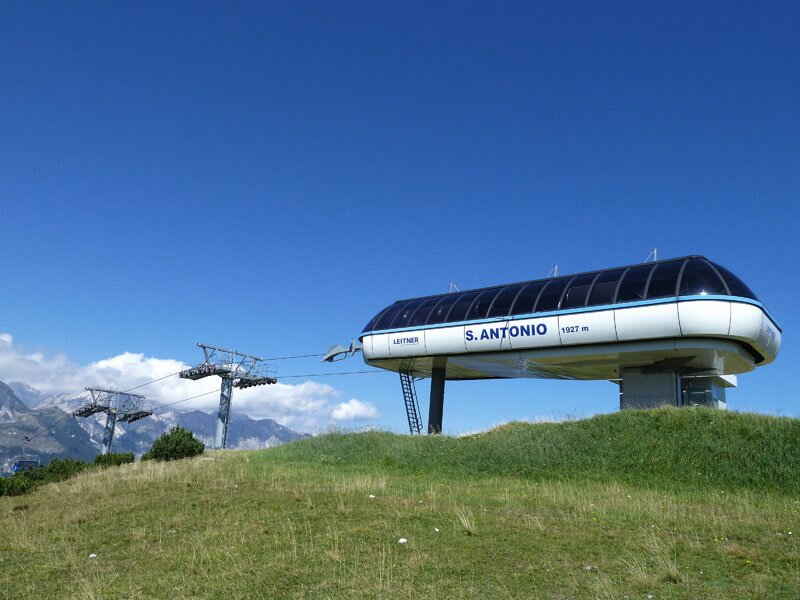
Before we start our walk downwards again we do a short side trip to the transmitter masts of the TV company RAI where we have the best view on the Monte Bondone. In order to finish our circular walk now we follow the forest path no. 605 which leads us back via the S. Antonio pass and the Malga Terlago to the top station of the funicular again.
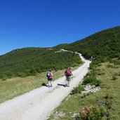
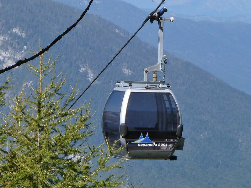
This hiking tour is quite easy and also to manage for not experienced hikers, only the ascent before reaching the Paganella mountain top has to be managed. There is also the alternative to go down by a chairlift which connects the mountain peak with the Doss Pelà top station.
Author: AT
-
- Starting point:
- mountain station of the Doss Pelà Cable Car (Andalo)
-
- Time required:
- 03:00 h
-
- Track length:
- 8,9 km
-
- Altitude:
- from 1.752 m to 2.125 m
-
- Altitude difference:
- +372 m | -372 m
-
- Signposts:
- Malga Zambana, SAT 605, Malga Terlago
-
- Destination:
- Cima Paganella, La Roda
-
- Resting points:
- Albi de Mez, Malga Zambana, Rif. Dosso Larici, Rif. La Roda, Malga Terlago
-
- Recommended time of year:
- Jan Feb Mar Apr May Jun Jul Aug Sep Oct Nov Dec
-
- Download GPX track:
- Mountain tour to Mt Paganella
If you want to do this hike, we suggest you to check the weather and trail conditions in advance and on site before setting out.