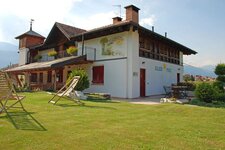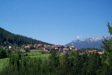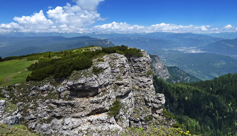
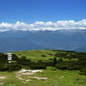
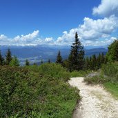
At the feet of Mt Roen, several mountain huts are located amidst meadows and woods, which can be visited within a circular walk - with gorgeous panoramic view on the Val di Non and Val dell’Adige valleys
Image gallery: Hike to the mountain pastures of Mt Roen
-
-
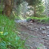
D-4104-discesa-da-malga-romeno-a-bocca-delle-valli.jpg
-
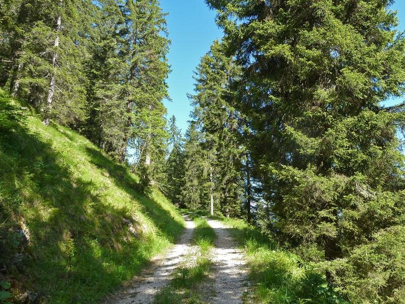
D-4388-forstale-da-bocca-delle-valli-a-malga-di-amblar.jpg
-

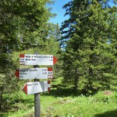
D-4392-segnavia-per-malga-di-amblar.jpg
-
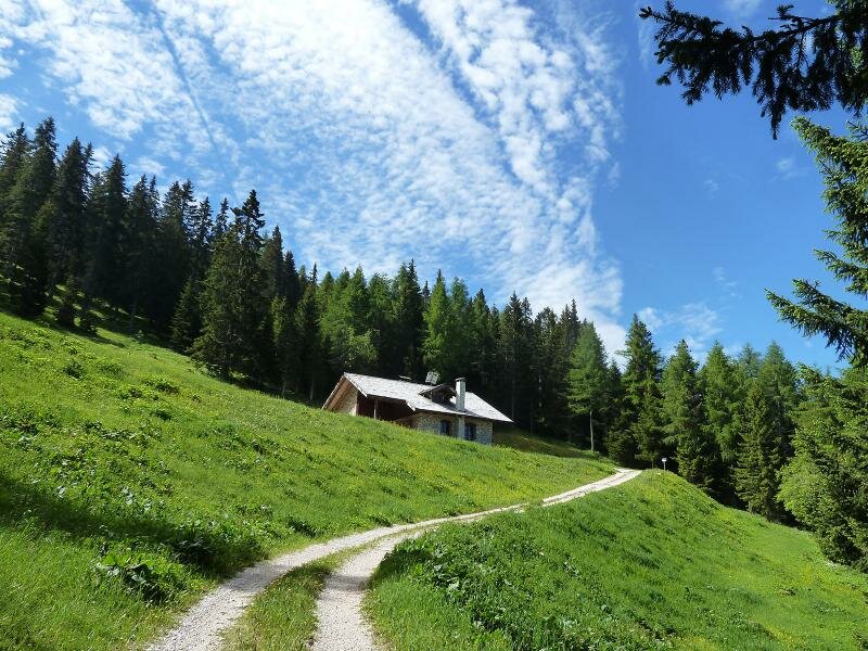
D-4398-malga-di-amblar.jpg
-
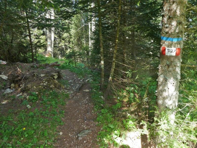
D-4409-sentiero-presso-malga-di-amblar.jpg
-
D-4413-sentiero-presso-malga-di-amblar.jpg
-
D-4433-bivacco-malga-don.jpg
-
D-4462-malga-sanzeno.jpg
-
D-4465-sentiero-da-malga-sanzeno-a-malga-smarano-e-sfruz.jpg
-
D-4474-segnavia-per-malga-smarano-e-sfruz.jpg
-
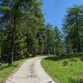
D-4475-sentiero-per-malga-di-smarano-e-di-sfruz.jpg
-
D-4485-sentiero-per-malga-di-smarano-e-di-sfruz.jpg
-
D-4520-malga-di-smarano-e-di-sfruz-fr2.jpg
-
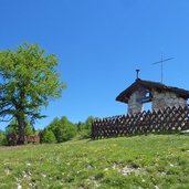
D-4513-madonnina-del-roen.jpg
-
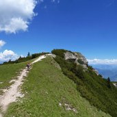
D-4542-sentiero-528-per-monte-roen.jpg
-
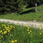
D-4568-prati-del-roen.jpg
-
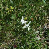
D-4559-stella-alpina.jpg
-
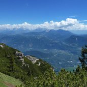
D-4593-monte-roen-vista-verso-dolomiti-di-fiemme.jpg
-
D-4595-monte-roen-cima-e-vista-vs-corno-bianco-weisshorn-1.jpg
-
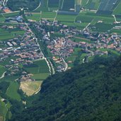
D-4603-tramin-von-roen-aus-gesehen.jpg
-
D-4609-vetta-monte-roen.jpg
-
D-4649-monte-roen-vista-verso-bolzano-e-dintorni-1.jpg
-
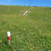
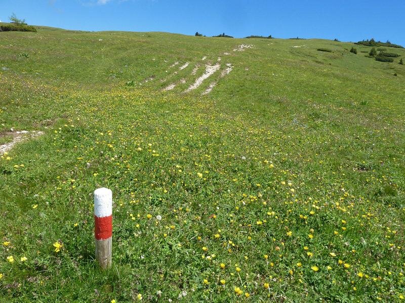
D-4638-segnavia-prati-monte-roen.jpg
-
D-4679-segnavia-malga-romeno-e-monte-roen.jpg
-
D-4678-discesa-da-roen-per-malga-romeno.jpg
-
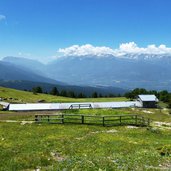
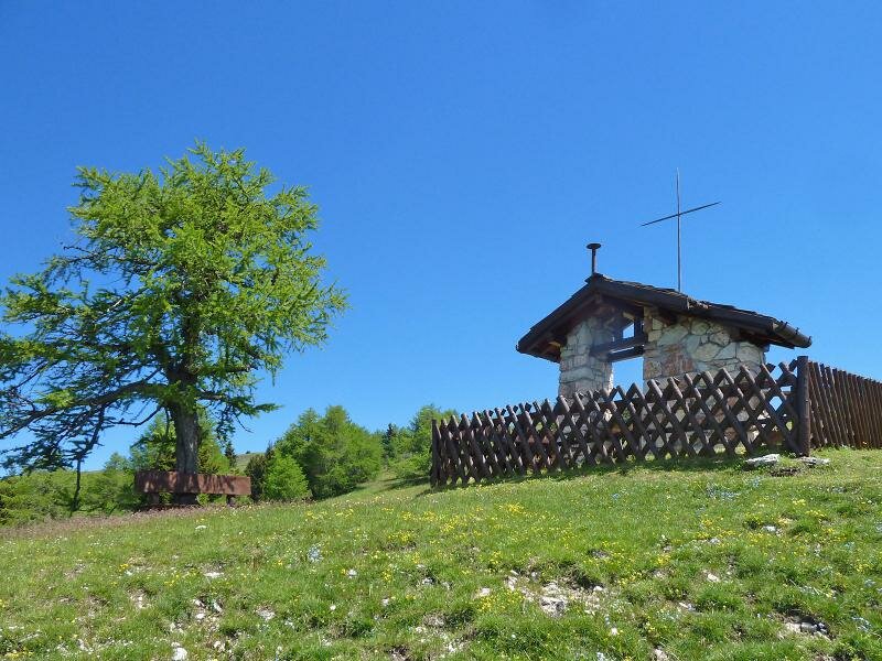
D-4687-malga-romeno.jpg
-
D-4700-discesa-da-malga-romeno-a-bocca-delle-valli.jpg
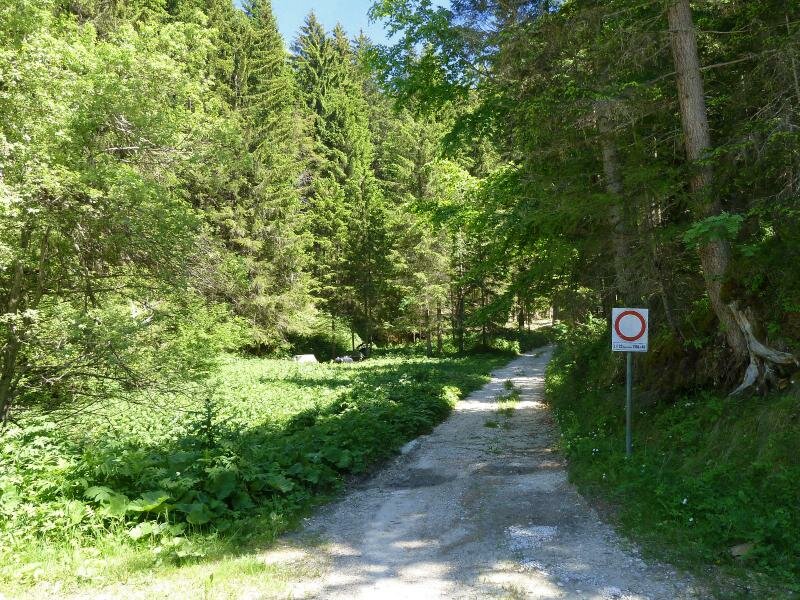
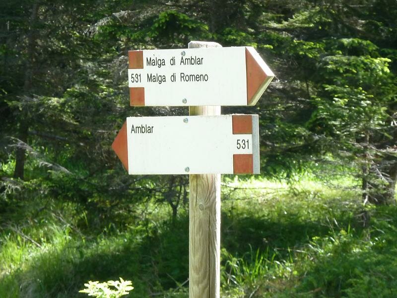
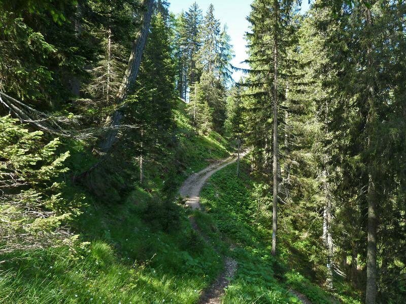
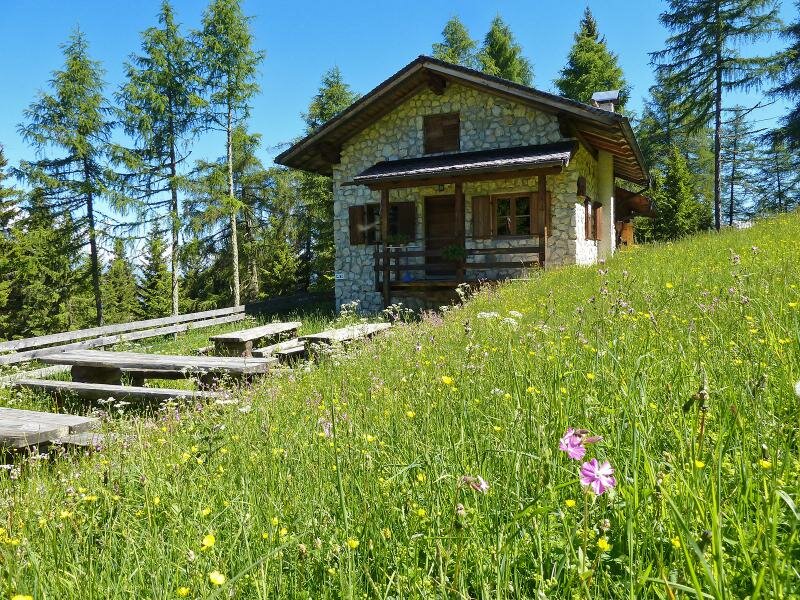
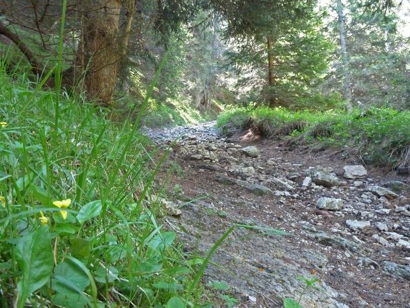
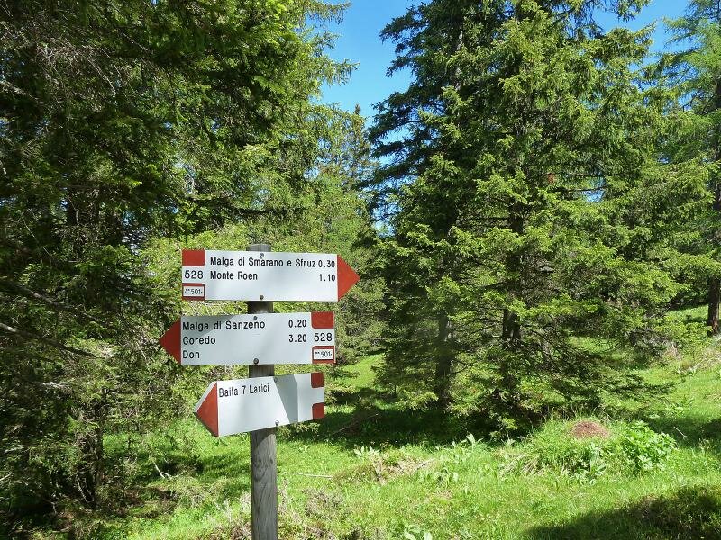
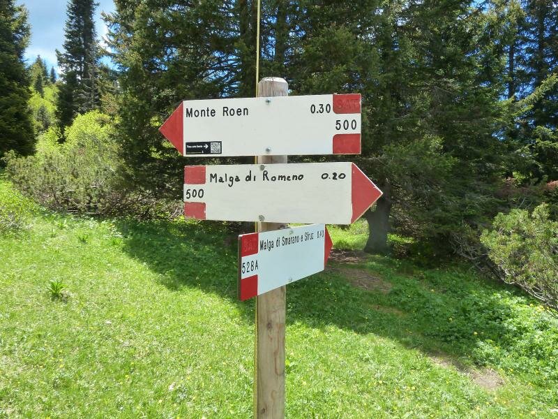
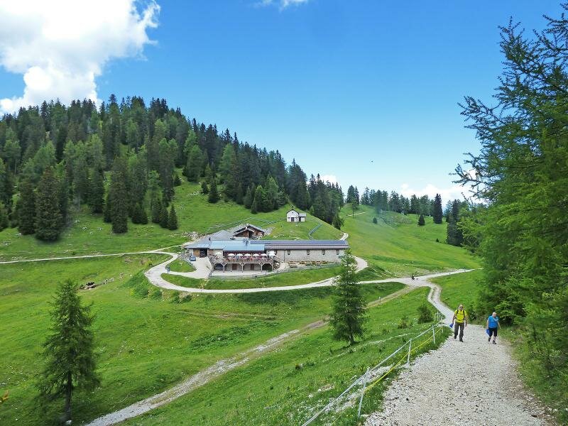
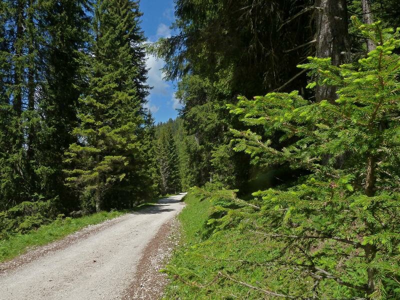
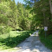
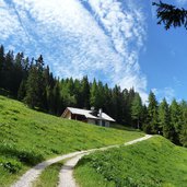
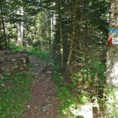
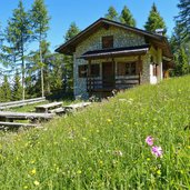
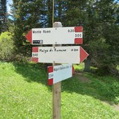
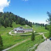
The starting point of this circular walk to the huts of the Roen is located at 1,450 m asl., at the road, which leads us from the village of Amblar to the parking space at the Bocca delle Valli. Here several forest paths start up to the Monte Roen (2,116 m asl.). We follow the path no. 531 towards the Malga Amblar mountain hut at 1,710 m asl. - our first hut today. From here we walk along the path 537 always towards south, to the Malga di Don and Malga di Sanzeno mountain huts.
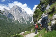
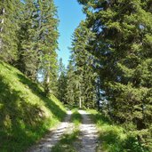
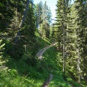
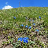
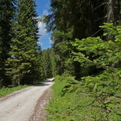
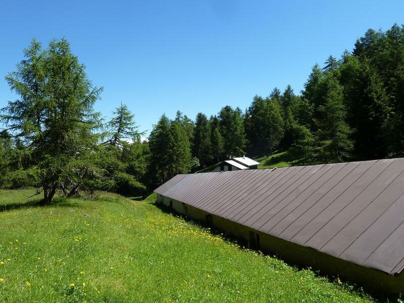
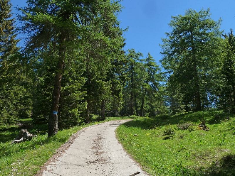
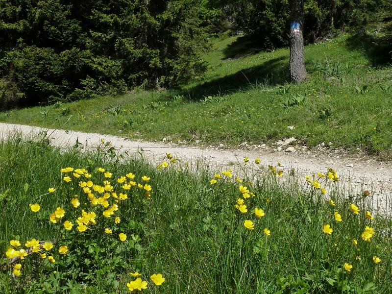
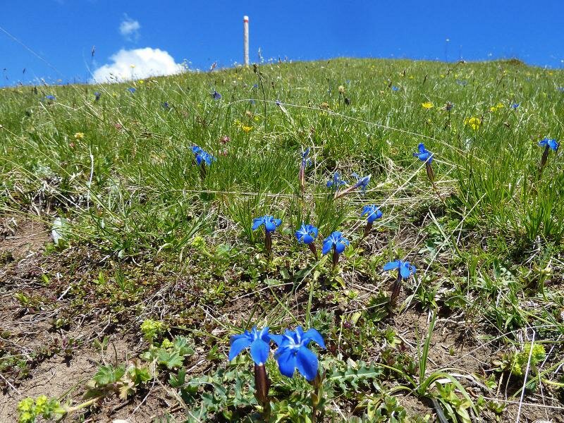
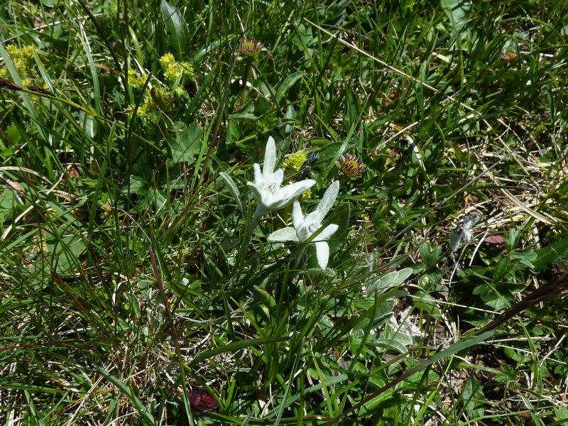
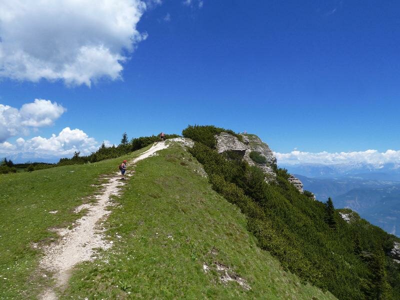
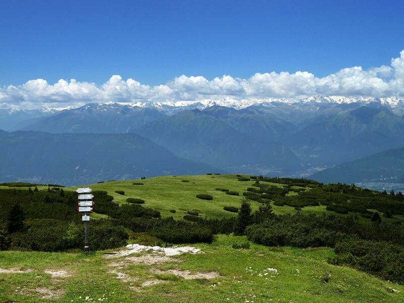
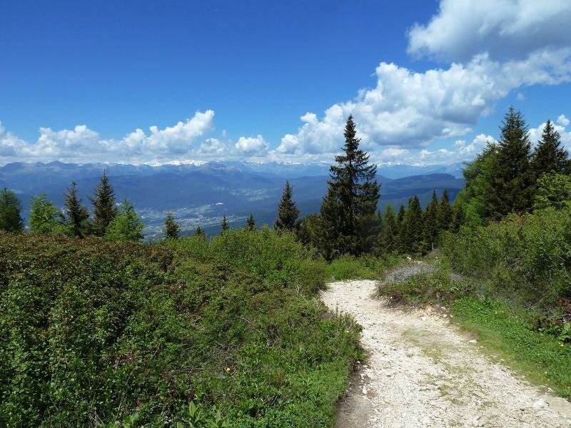
The latter is located amidst a large meadow, where we find the path no. 528 to the Malga di Sfruz and Smarano hut. This section is not more than a bridle path which proceeds further and further uphill through the forest. It is the most demanding section of the entire circular walk. The last km up to the Smarano and Sfruz hut, which is by the way the first refreshment stop, proceeds along a forest path. Now we are at an altitude of about 1,900 m asl., there is only a lack of 200 more metres until the summit of the Roen. An alpine sea of flowers awaits us along the next section: gentian, globeflower, orchid and buttercup are blooming, even some edelweiss we can find here.
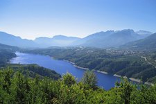
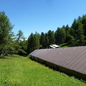
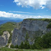
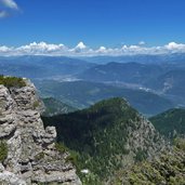
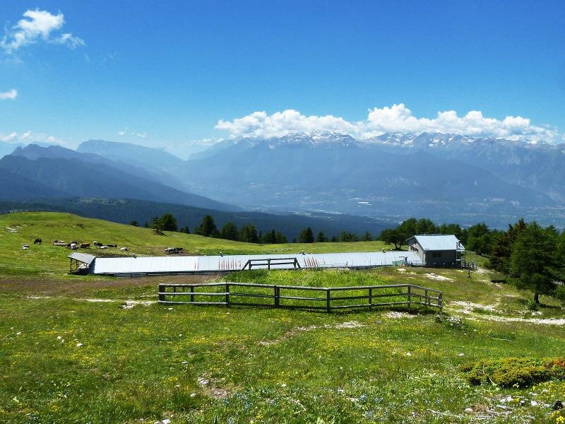
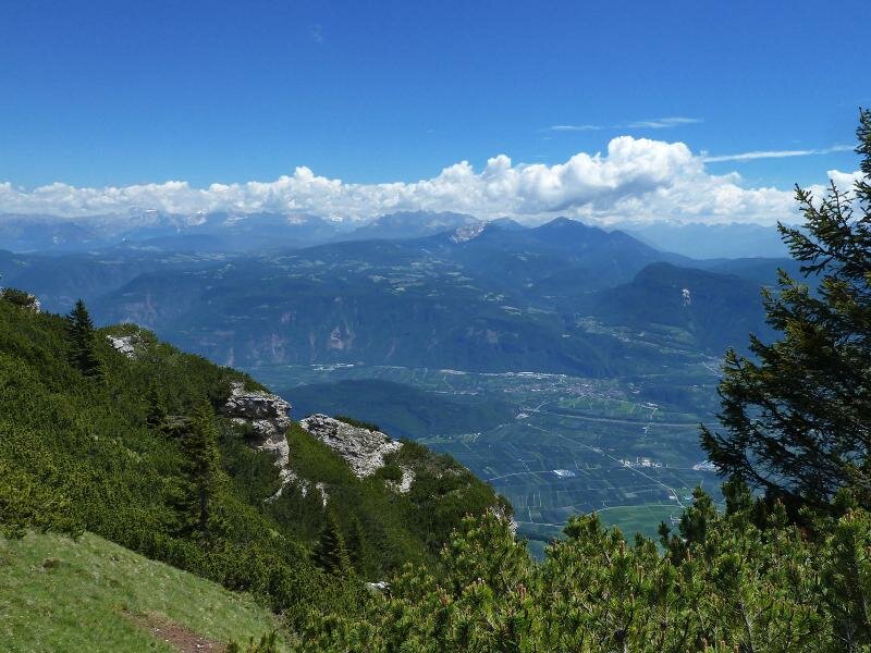
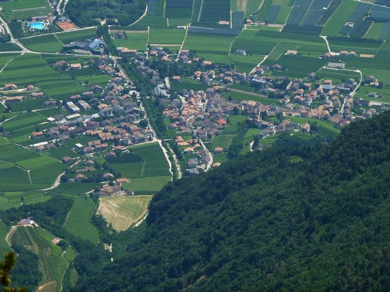
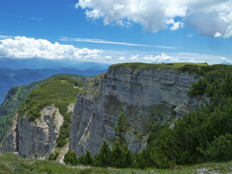
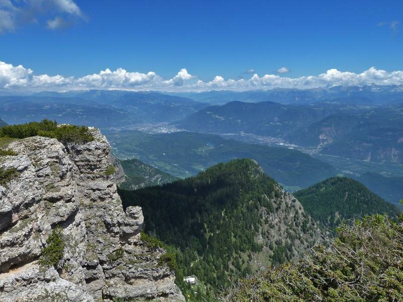
Arrived at the top (2,116 m asl.) we enjoy an unforgettable panoramic view across the Val di Non, the Val di Sole with the Brenta Dolomites and the Ortles-Cevedale mountain group, the mountains of Merano and surroundings, the Eastern Dolomites and the Valle d’Adige between Bolzano and Trento. The path no. 500 leads us to the Malga Romeno mountain hut where we enjoy our pause. From here we can reach the Bocca delle Valli – final destination of our walking tour – in a short time.
Author: AT
-
- Starting point:
- Amblar, Bocca delle Valli
-
- Time required:
- 04:25 h
-
- Track length:
- 14,7 km
-
- Altitude:
- from 1.452 m to 2.116 m
-
- Altitude difference:
- +805 m | -805 m
-
- Signposts:
- SAT 531, 537, 528, 500
-
- Resting points:
- Malga Romeno
-
- Recommended time of year:
- Jan Feb Mar Apr May Jun Jul Aug Sep Oct Nov Dec
-
- Download GPX track:
- Hike to the mountain pastures of Mt Roen
If you want to do this hike, we suggest you to check the weather and trail conditions in advance and on site before setting out.