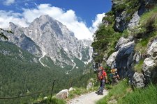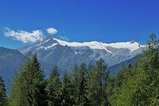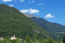
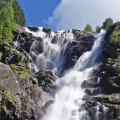
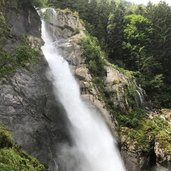
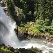
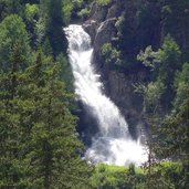
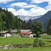
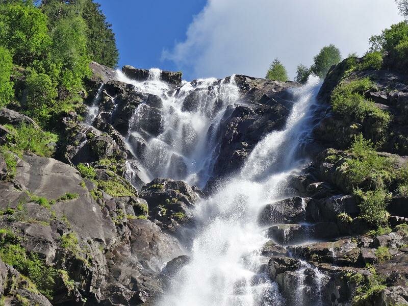
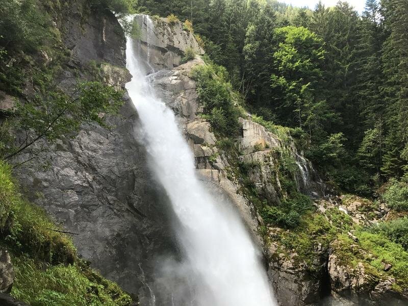
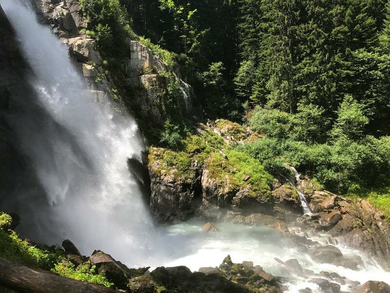
The Genova Valley, located in the Adamello-Brenta Natural Park, is surrounded by the glaciers of Adamello and Presanella, from which spectacular waterfalls plunge
Image gallery: Hike to the Nardis Waterfalls in the Genova valley
-
-
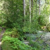
D-4582-sarca-di-genova-a-ponte-verde.jpg
-
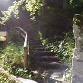
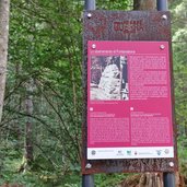
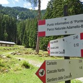
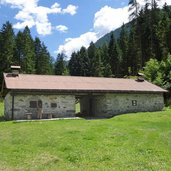
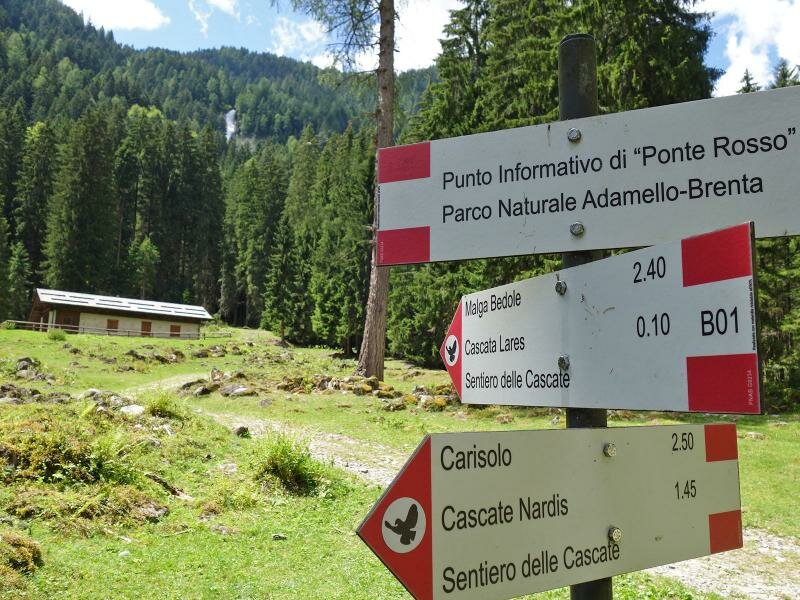
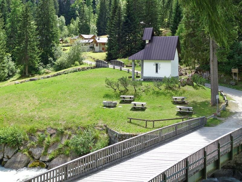
D-4580-val-di-genova-ponte-verde-punto-informativo-parco-naturale.jpg
-
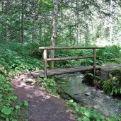
D-4584-sentiero-delle-cascate-val-di-genova-presso-ponte-verde.jpg
-
D-4619-sentiero-delle-cascate-val-di-genova-presso-ponte-verde.jpg
-
D-4673-cascata-di-nardis-dettaglio.jpg
-
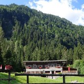
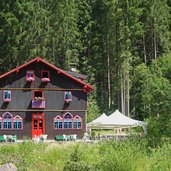
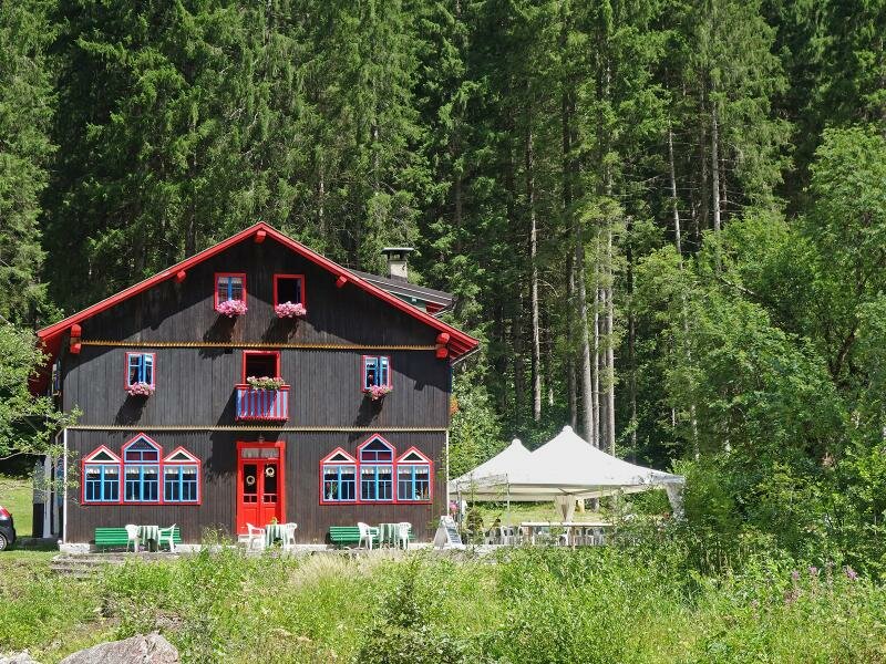
D-4656-ristorante-cascata-di-nardis.jpg
-
D-4730-sentiero-delle-cascate-val-genova.jpg
-
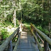
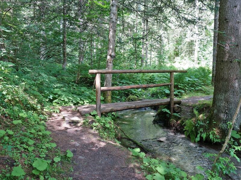
D-4745-ponte-del-rio-casol.jpg
-
D-4752-sentiero-delle-cascate-val-genova.jpg
-
D-4762-cascata-del-sarca-di-genova.jpg
-
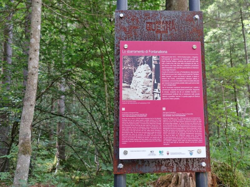
D-4766-sbarramento-di-fontanabona.jpg
-
D-4777-sentiero-delle-cascate-val-genova-presso-fontanabona.jpg
-
D-4788-sentiero-delle-cascate-val-genova-presso-fontanabona.jpg
-
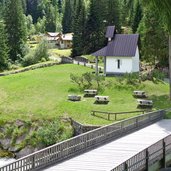
D-4795-rifugio-ristorante-fontanabona.jpg
-
D-4818-segnavia-nei-pressi-di-malga-di-genova.jpg
-
D-4824-rio-lares.jpg
-
D-8301-cascata-di-lares.jpg
-
D-8312-cascata-di-lares.jpg
-
D-4858-malga-genova-di-massimeno.jpg
-
D-4881-escursionisti-in-val-di-genova-presso-localita-la-todesca.jpg
-
D-4916-val-di-genova-localita-ragada-fr4.jpg
-
D-4921-cascata-di-folgorida.jpg
-
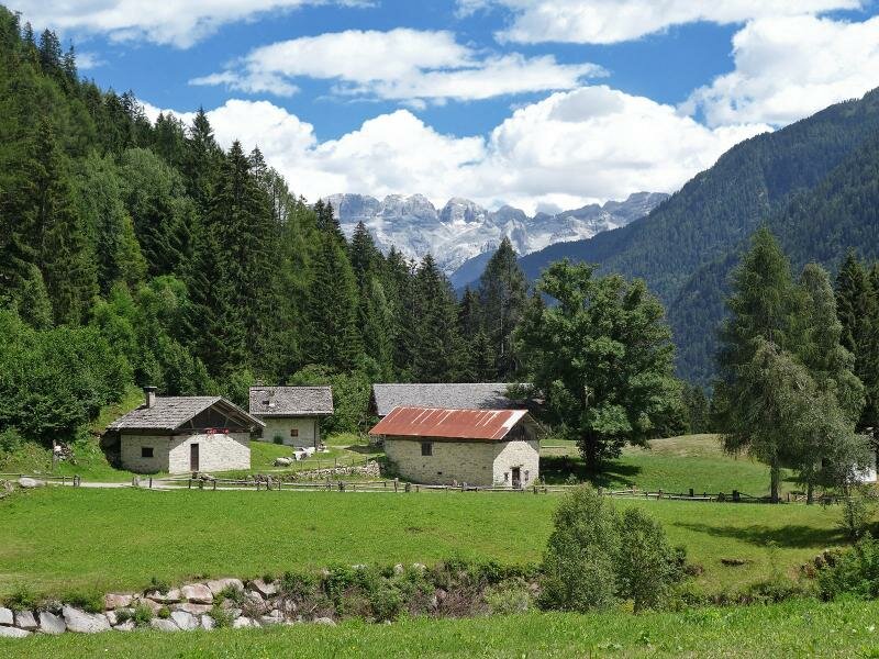
D-4945-val-genova-localita-la-todesca-con-sfondo-dolomiti-di-brenta.jpg
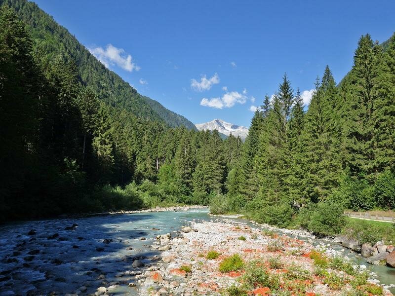
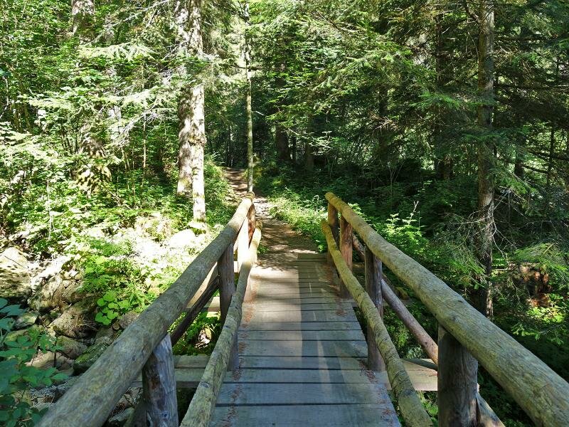
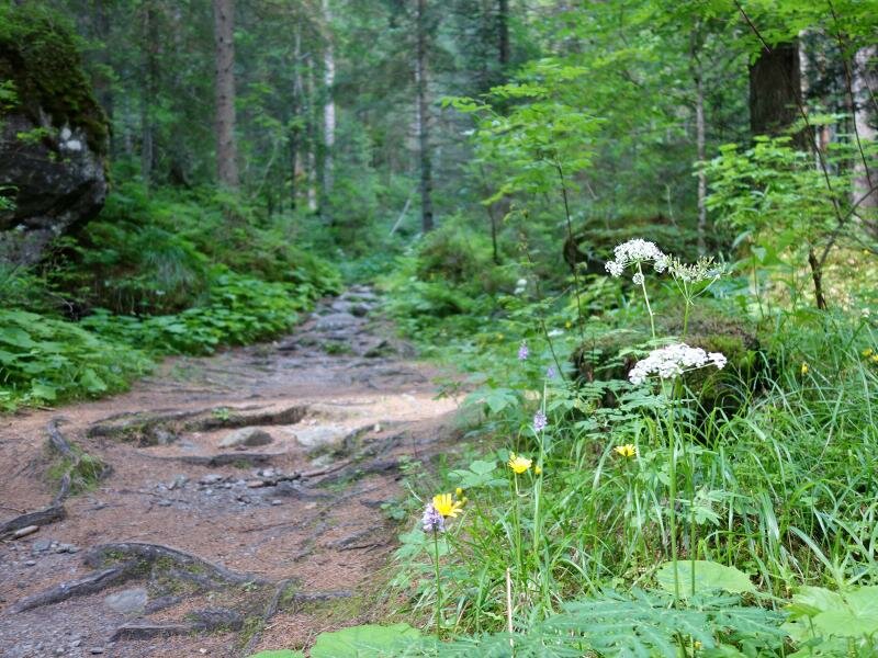
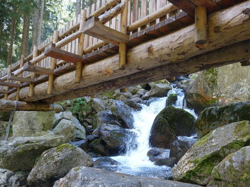
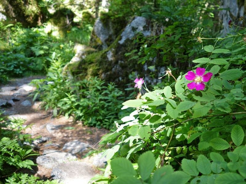
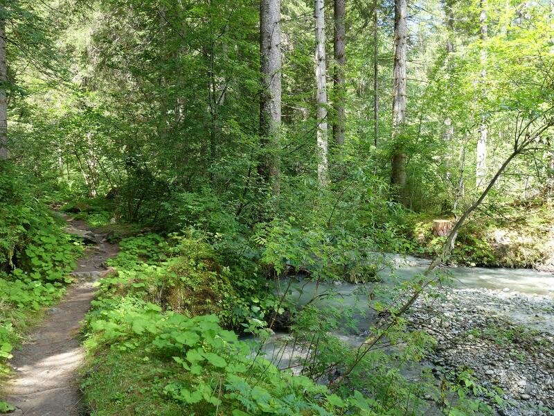
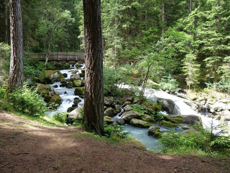
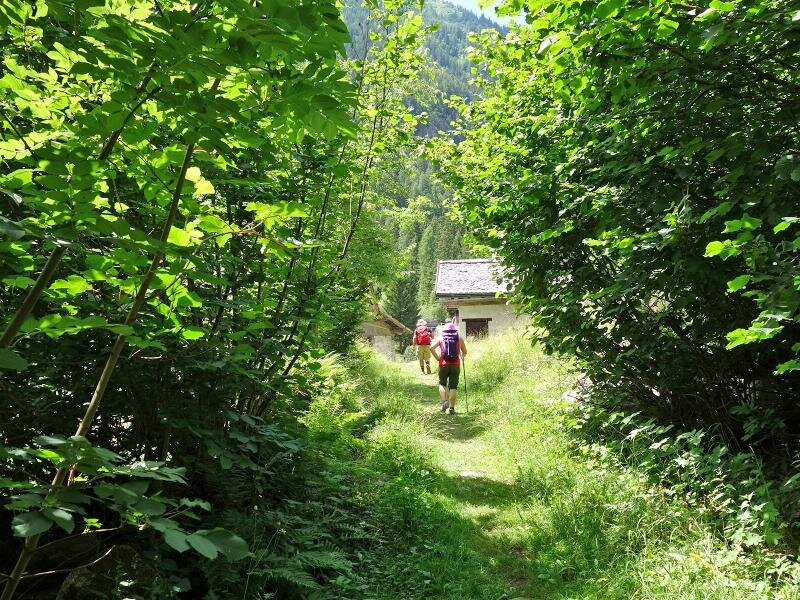
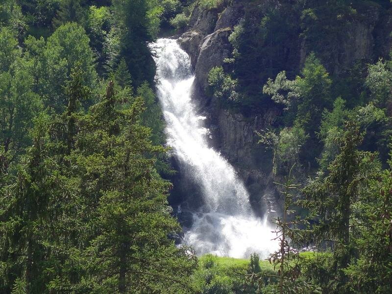
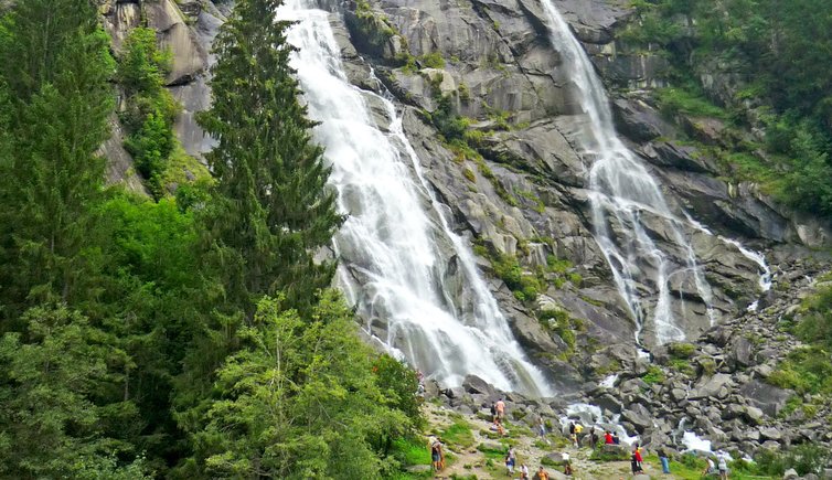
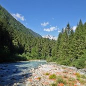
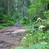
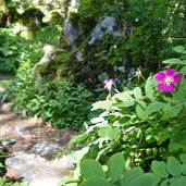
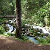
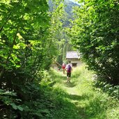
The natural, wild Val di Genova valley is located at the headwaters of an arm of the Sarca River, called Sarca di Genova. Here the waters of the glacial streams of Adamello and Presanella gather. Parallel to the mountain road, at the edge of the forest and on the banks of the Sarca, runs a forest path that connects the imposing waterfalls. We hike from the Ponte Verde car park at the entrance of the valley to the Nardis and Lares Waterfalls, to the hamlet of La Todesca.
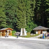
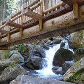
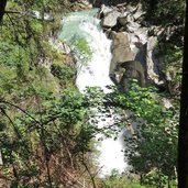
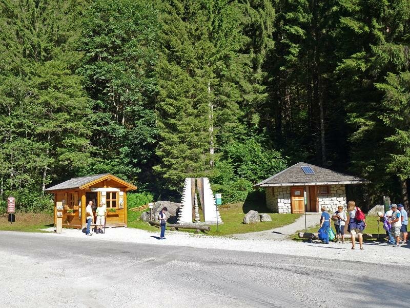
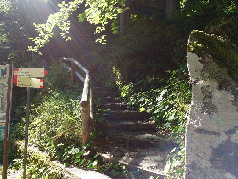
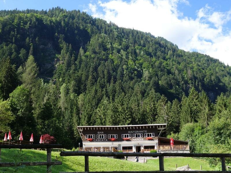
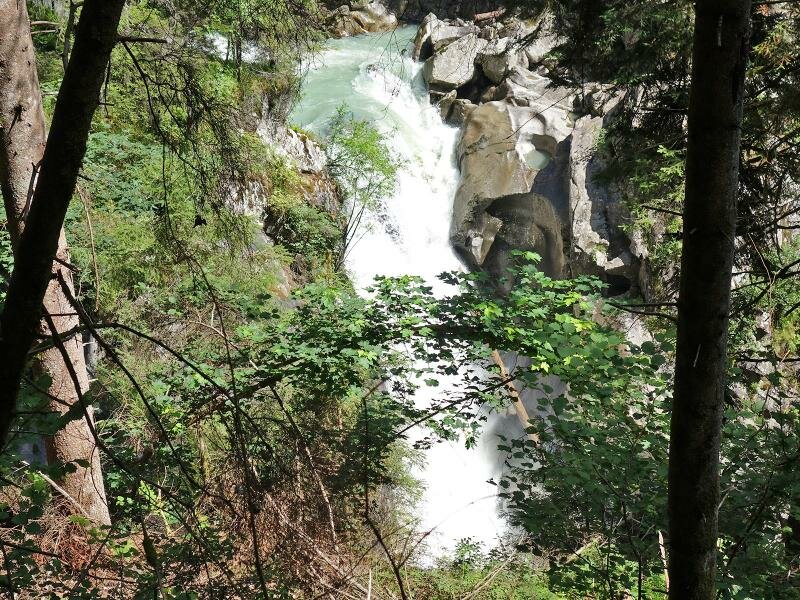
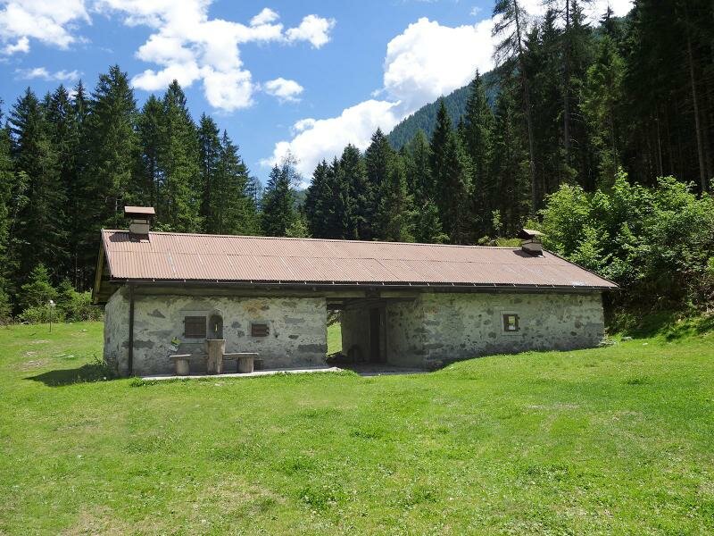
At the "Ponte Verde" car park, reachable by car via the Val di Genova valley road from Caderzone, we cross the bridge over the Sarca di Genova and find the access to the B01 (Sentiero delle Cascate) trail towards the Cascate Nardis. The path leads through the forest and follows the course of the river. After only 10 minutes we reach the impressive waterfall of Nardis, which alone is worth a visit. On the way we also pass the Cascata del Casöl and Cascata Lares waterfalls. We end our tour at the height of the Cascata Folgorida at the hamlet "La Todesca".
It would be possible to continue the walk for another 6 km and hike to the Malga Bedole. In high season, shuttle buses of the natural park run through the valley, leading back to the starting point Ponte Verde.
Author: AT
Parking: limited tickets, to be booked in advance (online)
Shuttle-Bus:
- Val Genova Express: Shuttle bus service available daily from June 24, 2023 to September 03, 2023; June 17-18, 2023; September 9-10, 2023 and September 16-17, 2023
- Shuttle bus Pinzolo - Ponte Verde: Shuttle bus service available daily from June 17, 2023 to June 30, 2023; August 28, 2023 - September 3, 2023; September 9-10, 2023 and September 16-17, 2023
-
- Starting point:
- Ponte Verde parking space in the lower Val di Genova
-
- Time required:
- 02:40 h
-
- Track length:
- 7,4 km
-
- Altitude:
- from 926 m to 1.277 m
-
- Altitude difference:
- +503 m | -163 m
-
- Signposts:
- B01, Sentiero delle Cascate
-
- Destination:
- Val di Genova, La Todesca (hamlet)
-
- Resting points:
- Restaurant Cascata Nardis, Rifugio Fontanabona
-
- Recommended time of year:
- Jan Feb Mar Apr May Jun Jul Aug Sep Oct Nov Dec
-
- Download GPX track:
- Hike to the Nardis Waterfalls in the Genova valley
If you want to do this hike, we suggest you to check the weather and trail conditions in advance and on site before setting out.