Easy hike at the foot of the Latemar, from the meadows of the Pampeago Alp to the new Oberholz Mountain Hut, well-known for its Eco-design and good cuisine
Image gallery: From the Pampeago Pass to the Oberholz Hut
-
-
D-1915-pampeago-di-tesero-fr01.jpg
-
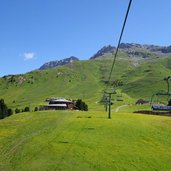
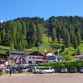
D-1950-seggiovia-alpe-di-pampeago.jpg
-
D-1981-wiesen-bei-ganischger-alm.jpg
-
D-1984-wegweiser-bei-ganischger-alm.jpg
-
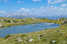
D-1991-wiesen-bei-reiterjoch-passo-pampeago-und-zanggenberg.jpg
-
D-1998-milchkannen-installation-latemarium-erlebnisweg.jpg
-
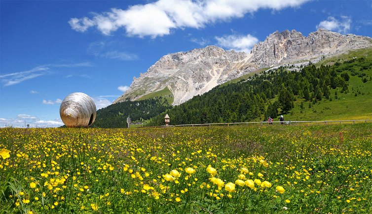
D-2043-blumenwiesen-am-reiterjoch-passo-pampeago.jpg
-
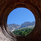
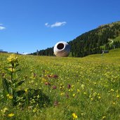
D-2029-reiterjoch-passo-pampeago-latemarium-eye-on-the-dolomites.jpg
-
D-2054-blumenwiesen-am-reiterjoch-passo-pampeago.jpg
-
D-2061-weg-23-richtung-mayerl-alm-obereggen-wegweiser.jpg
-
D-2192-mayerl-alm-obereggen-2.jpg
-
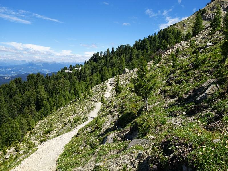
D-2105-weg-nr-23-von-mayrl-alm-nach-oberholz.jpg
-
D-2108-weg-nr-23-von-mayrl-alm-nach-oberholz.jpg
-
D-2120-alpenrosen-am-weg-23.jpg
-
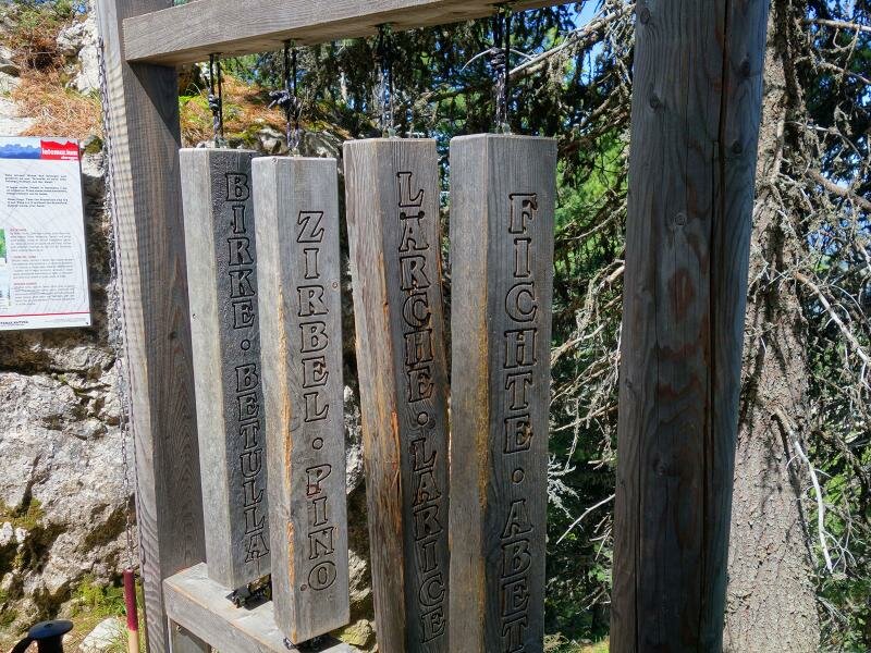
D-2129-latemarium-holz-arten.jpg
-
D-2145-obereggen-weg-nr-23-mayerl-alm-nach-oberholz.jpg
-
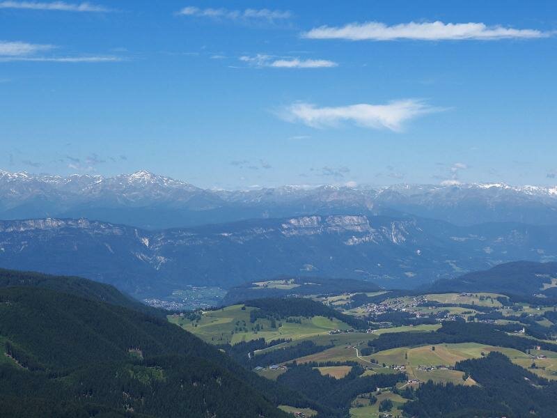
D-2141-aussicht-obereggen-panorama-west-fr4.jpg
-
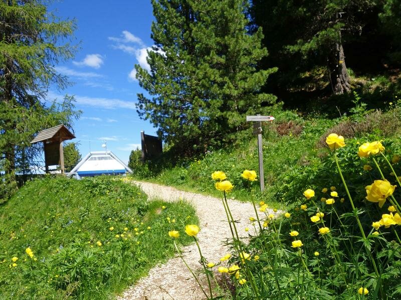
D-2149-obereggen-weg-bei-oberholz-huette.jpg
-
D-2159-obereggen-oberholz-huette.jpg
-
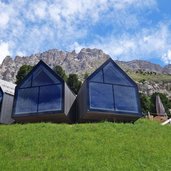
D-2172-obereggen-oberholz-huette.jpg
-

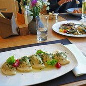
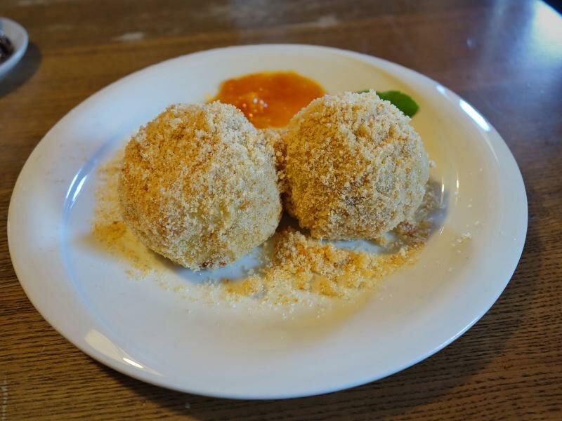
D-2242-marillenknoedel-ganischger-alm.jpg
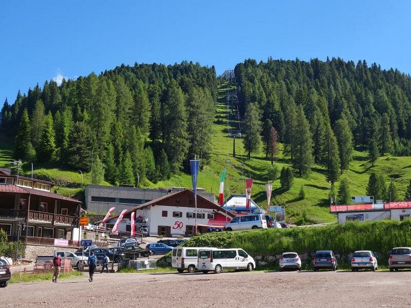
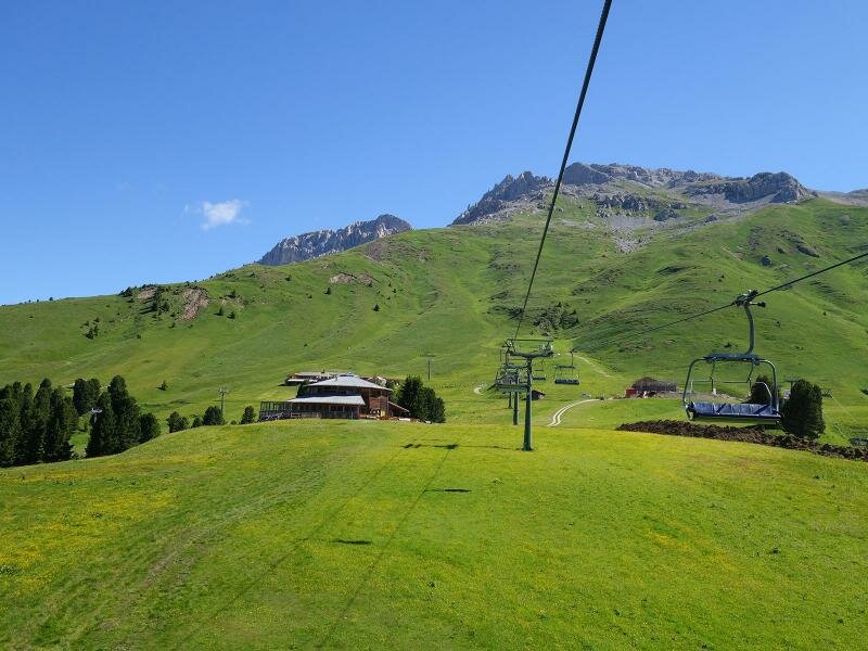
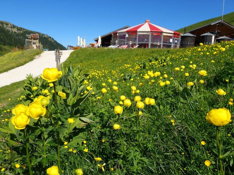
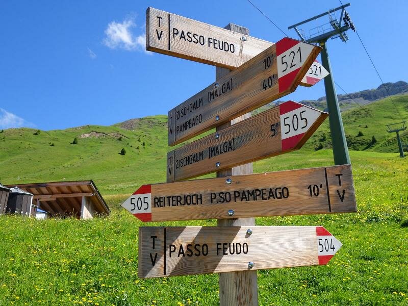
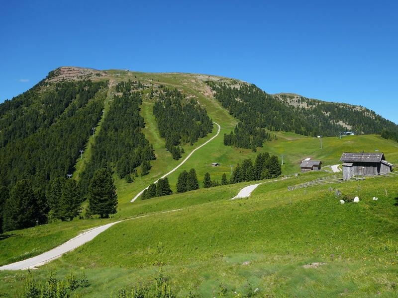
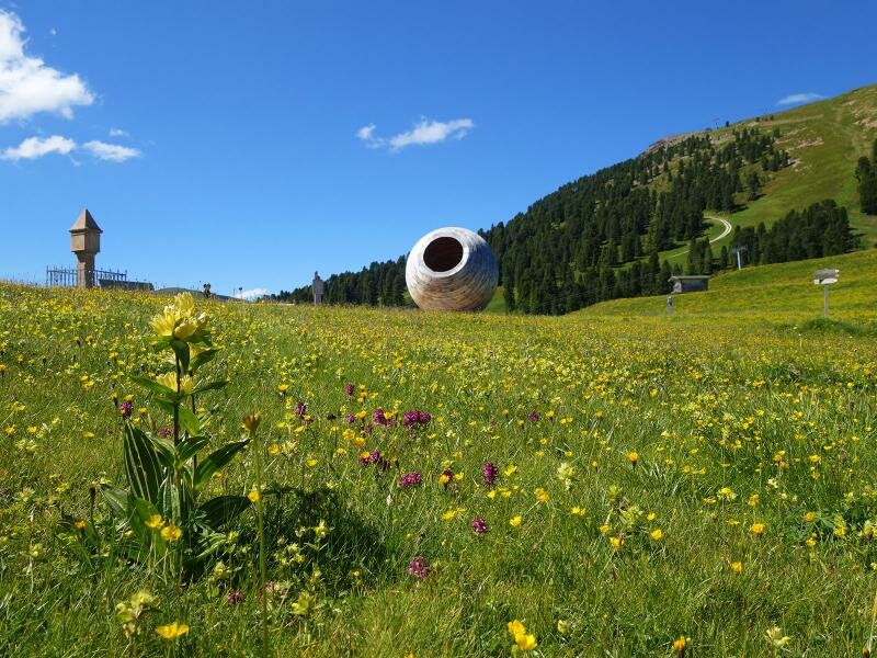
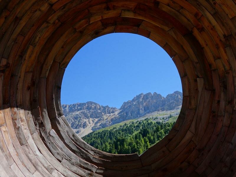
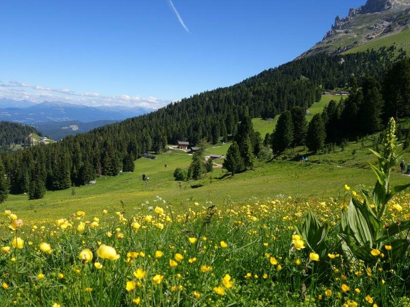
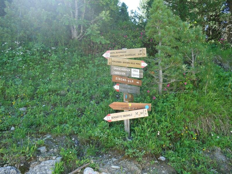
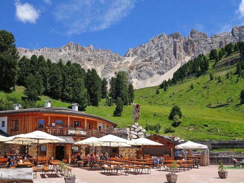
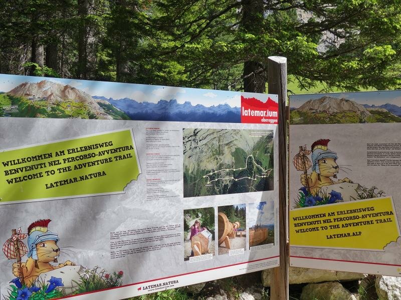
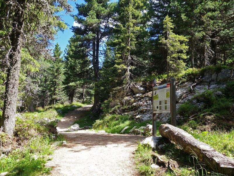
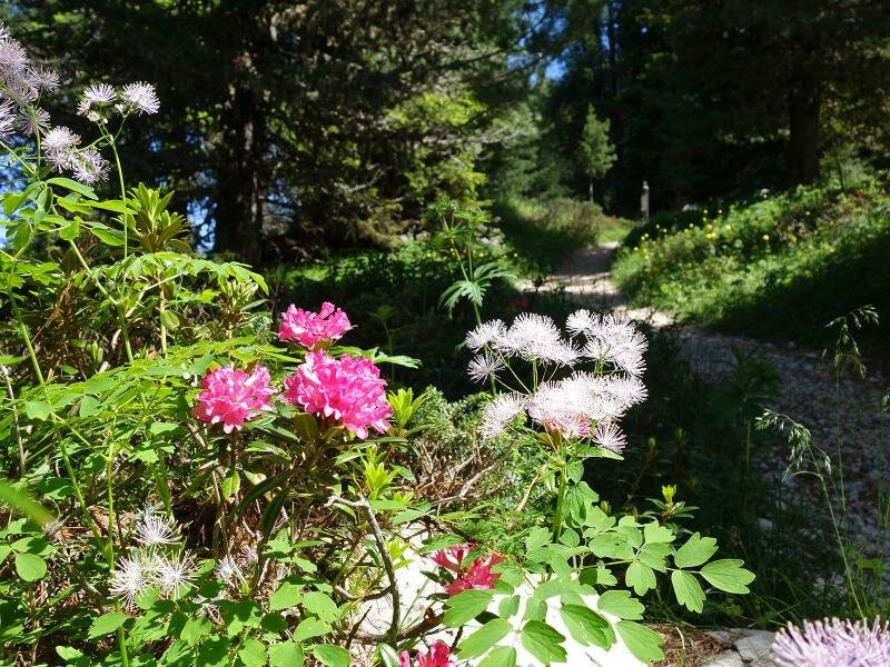
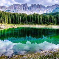
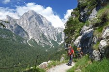
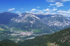
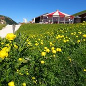
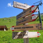
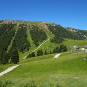
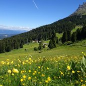
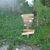
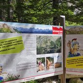
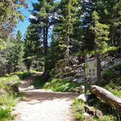
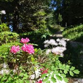
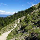
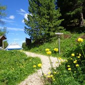
This easy, 3 km (per direction) long hike takes us to a considerable altitude, but proceeds with only a slight difference in altitude between flowering meadows and coniferous forests. In Pampeago di Tesero we take the Latemar Chairlift which takes us to the Malga Ganischger mountain hut. There we follow the flat road to the Pampeago Pass, where the installation "Eye on the Dolomites" is located at the time of our hike, which is part of the theme trails "Latemarium". Shortly after, we take the path no. 23 to the right towards the Mayrl Alm mountain hut.
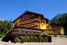
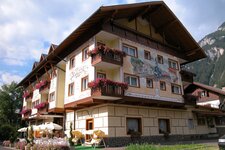
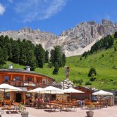
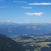
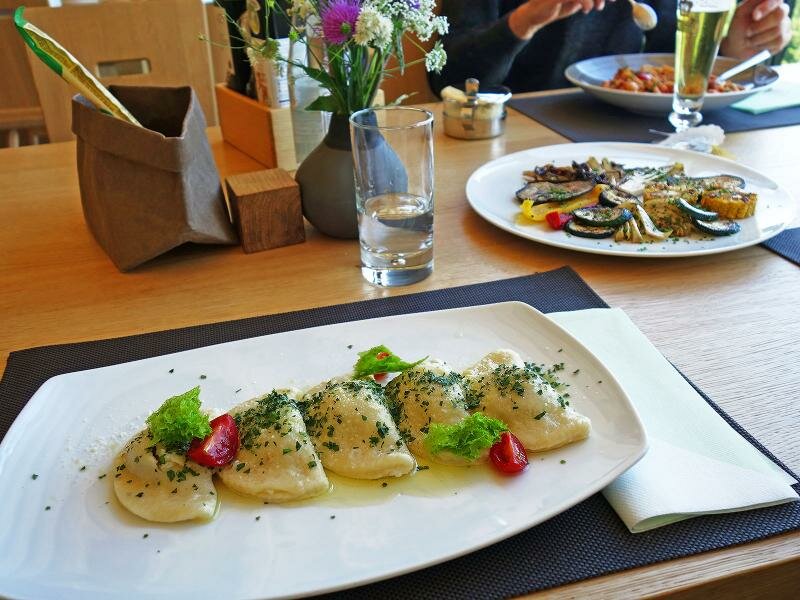
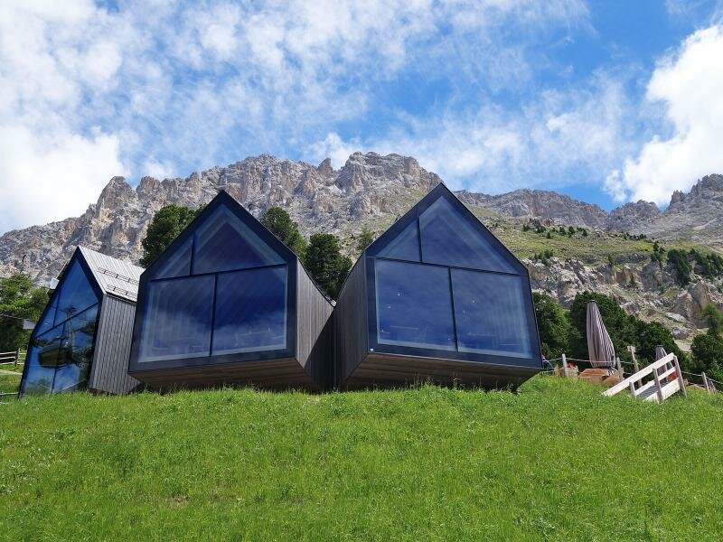
The forest path leads to the Mayrl Alm and then slightly uphill to the Oberholz Hut (Rifugio Oberholz), the destination of our hike. This mountain hut is not only an architectural jewel, but also a reinterpretation of the natural and traditional forms and materials of the Alps: Thanks to the large panorama windows, one feels part of the alpine landscape. The restaurant also offers excellent dishes, from starters to desserts. For our way back we take the same route.
Author: AT
-
- Starting point:
- mountain station of the Pampeago Chairlift
-
- Time required:
- 02:00 h
-
- Track length:
- 6,2 km
-
- Altitude:
- from 1.981 m to 2.088 m
-
- Altitude difference:
- +168 m | -168 m
-
- Route:
- Ganischger Alm mountain hut - Pampeago-Pass (Eye on the Dolomites) - Mayrl Hut (La Mens) - Oberholz Mountain Hut
-
- Signposts:
- no. 505, 9, 23
-
- Destination:
- Oberholz Mountain Hut
-
- Resting points:
- Oberholz, Malga La Mens (Mayrl)
-
- Recommended time of year:
- Jan Feb Mar Apr May Jun Jul Aug Sep Oct Nov Dec
-
- Download GPX track:
- From the Pampeago Pass to the Oberholz Hut
If you want to do this hike, we suggest you to check the weather and trail conditions in advance and on site before setting out.