This intermediate snowshoe hike from Malga Zonta to Monte Maggio (1,853 m a.s.l. leads us along a wonderful circular itinerary with stunning views of the surrounding mountains
Image gallery: Snowshoe hike to Monte Maggio
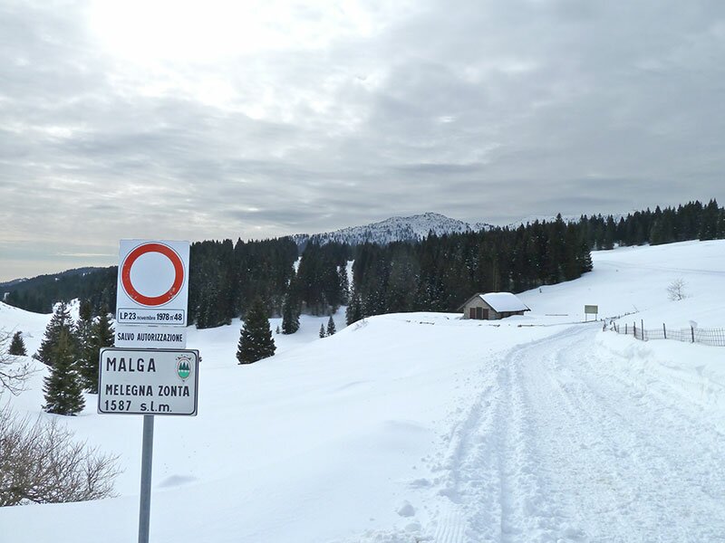
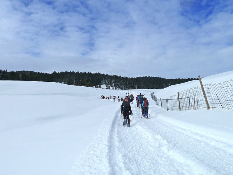
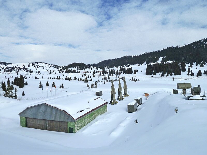
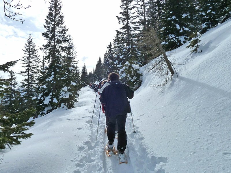
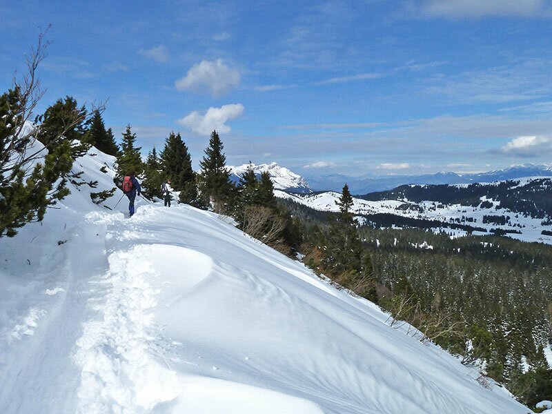

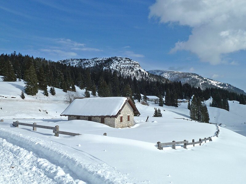
From the car park of Malga Zonta at 1,430 m a.s.l. we head towards north to malga Melegna (1,550 m a.s.l.). While walking along the initial section you could divert to visit the Base Tuono, the former NATO base of this area.
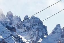
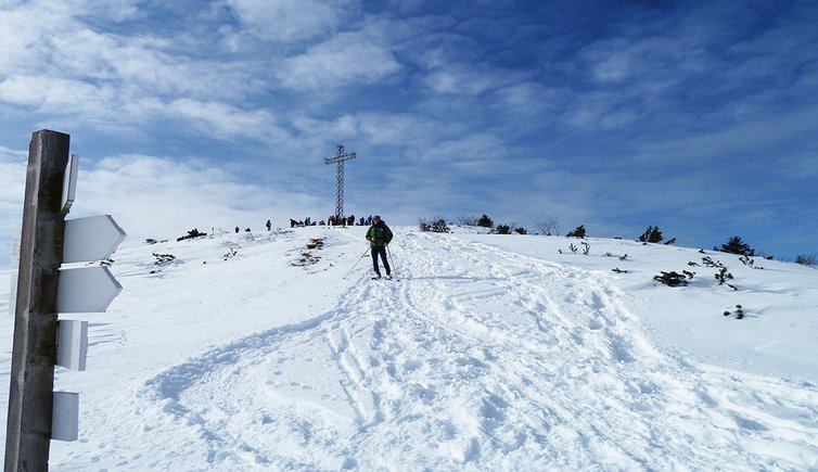
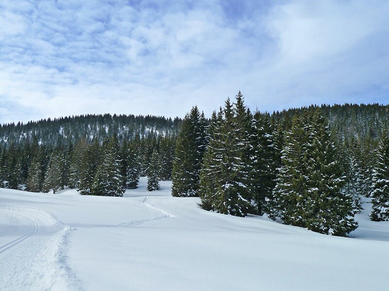
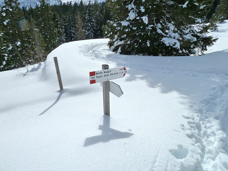
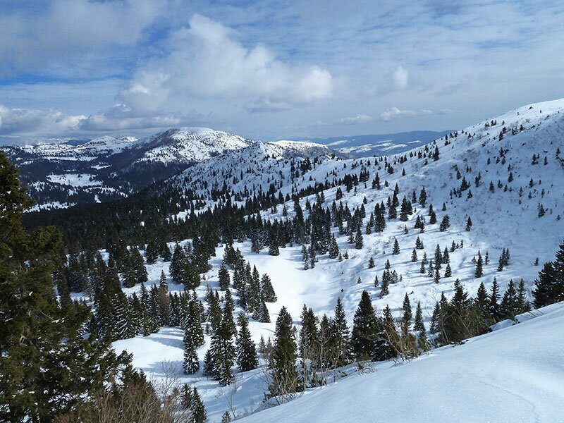
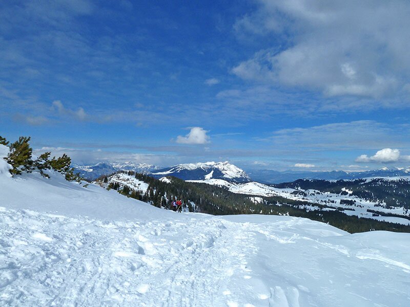
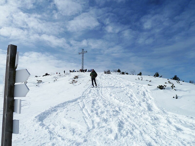
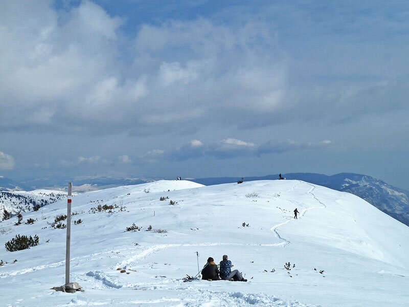
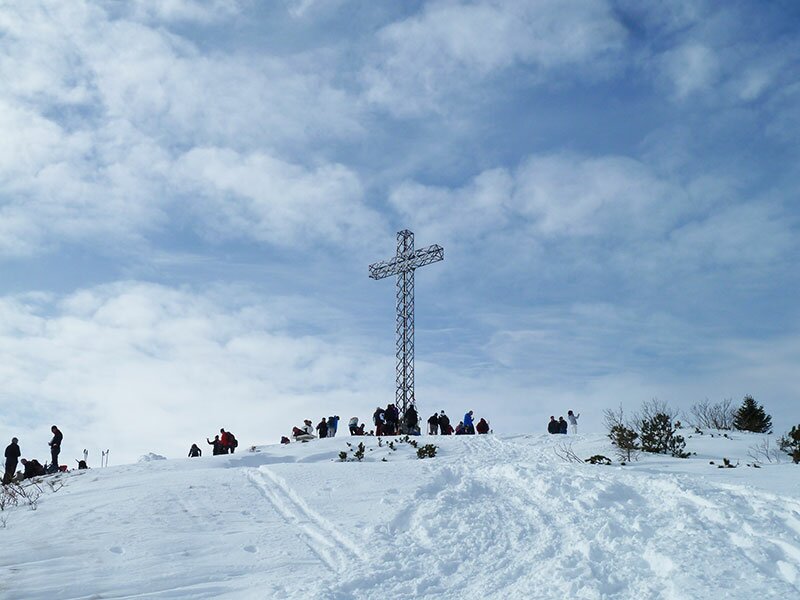
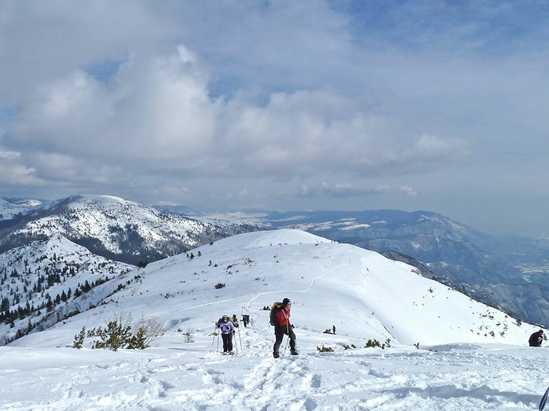
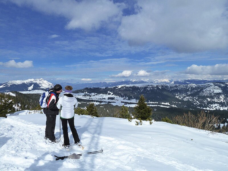
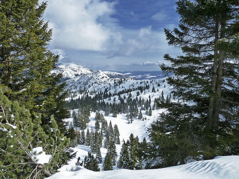
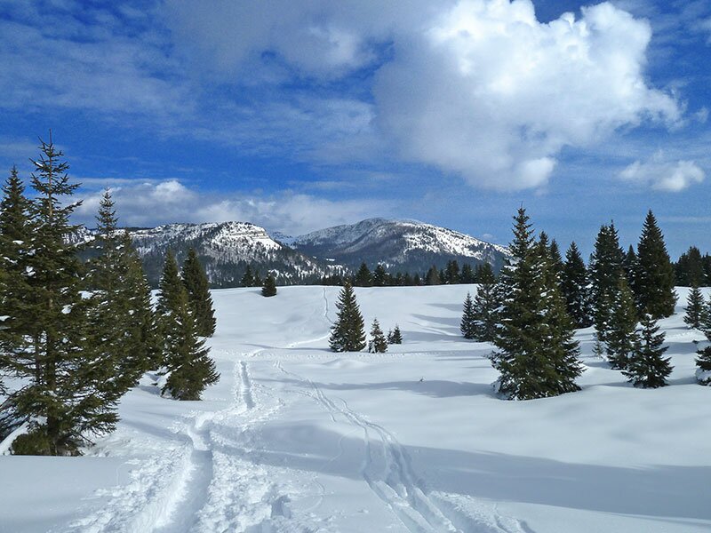
We continue walking towards north to the eastern ridge of Monte Maggio. The first section leads us along the cross-country ski track before entering the forest (almost no signpost). Afterwards, with the summit cross always in sight, we follow the mountain ridge towards east from the pass. Having arrived at the peak of Monte Maggio we enjoy a marvellous view of the Brenta Dolomites, the Lagorai chain and the Pasubio. On our descent we take the road to Passo Coe and retrace our steps along the cross-country ski tracks before arriving at Malga Melegna.
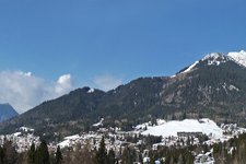
Please note: this intermediate, circular snowshoe hike offers stunning views of the Folgaria high plateau and the surrounding mountain world. In case of heavy snowfall the slope below the pass could be subject to avalanches! Be cautious and never leave the well-visible path while descending!
Author: AT
-
- Starting point:
- Malga Zonta
-
- Overall time:
- 02:40 h
-
- Total route length:
- 7,2 km
-
- Altitude:
- from 1.535 m to 1.835 m
-
- Altitude difference (uphill | downhill):
- +303 m | -303 m
-
- Route:
- Malga Zonta - Malga Melegna - Monte Maggio - Passo Coe - Malga Zonta
-
- Destination:
- Monte Maggio
-
- Recommended time of year:
- Jan Feb Mar Apr May Jun Jul Aug Sep Oct Nov Dec
-
- Download GPX track:
- Snowshoe hike to Monte Maggio
We suggest you to check the weather conditions in advance and on site before setting out. Don’t forget to check the current avalanche forecast!


![Win fondo sci nordico passo coe Gober []](http://images2.trentino.com/images/cms/main/225x150/Win_fondo_sci_nordico_passo_coe_2018_Gober-(23)[1].jpg)