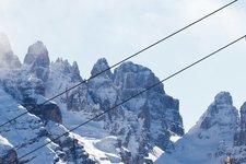
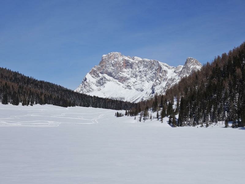
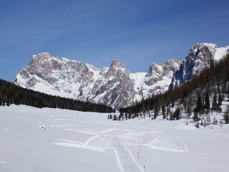
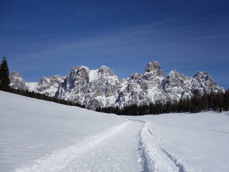
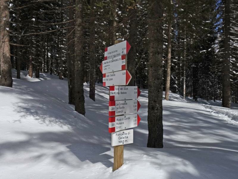
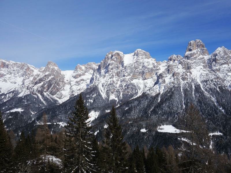
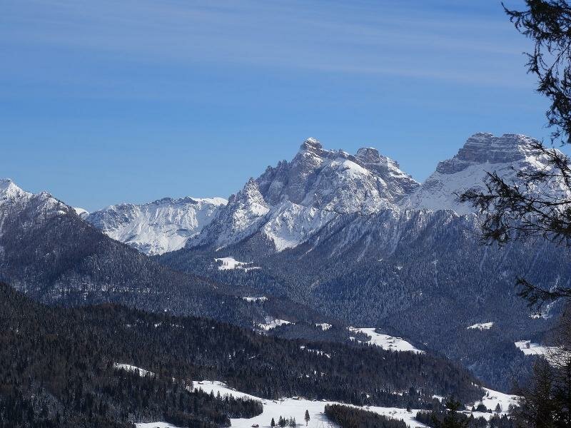
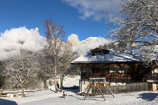
The small high plateau above the Lozen valley, between the Cima Scanaiol and Monte Spiz del Doch, offers a fantastic view of the Pale di San Martino group
Image gallery: Winter walk to Lake Calaita
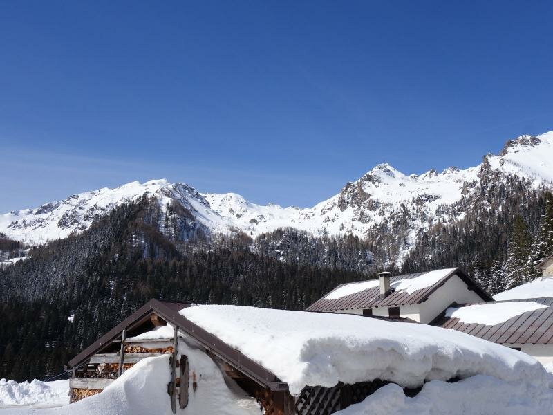
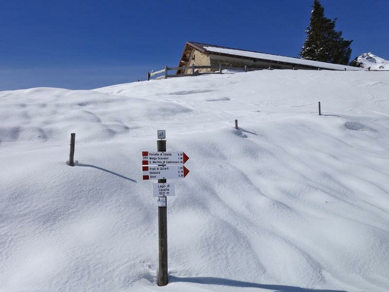
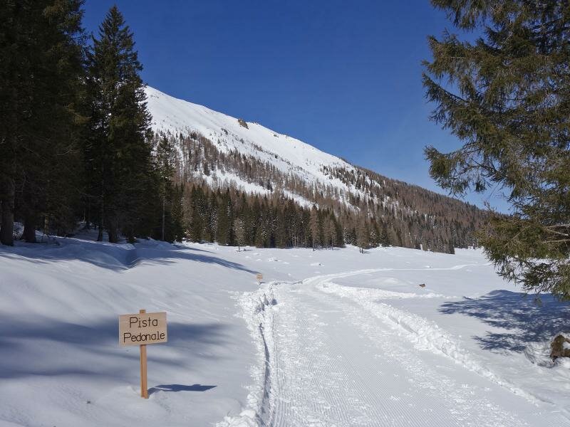
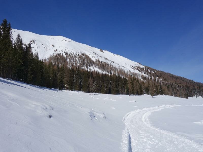
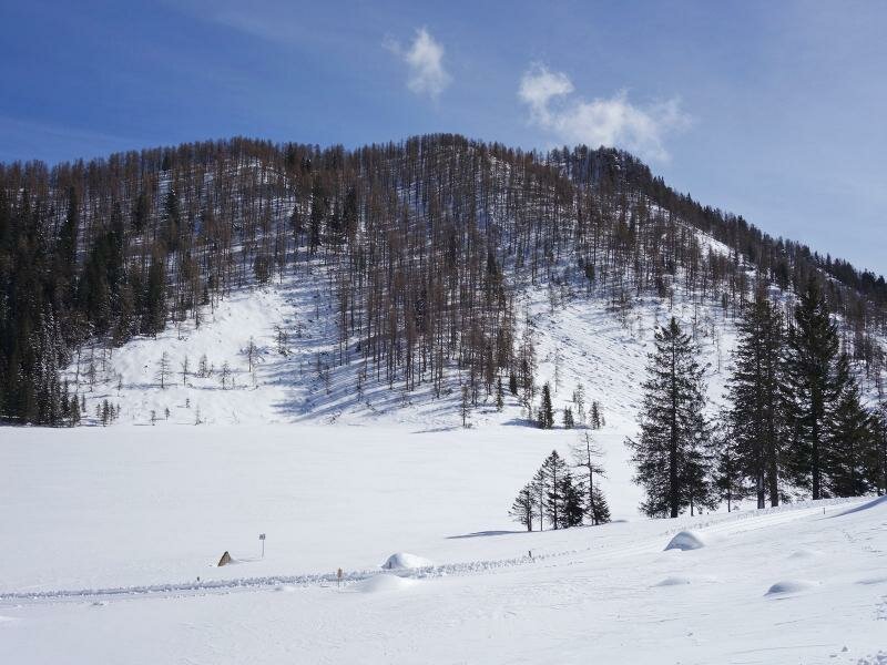
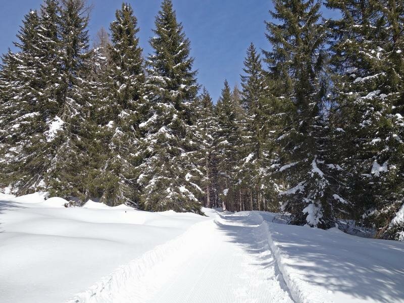

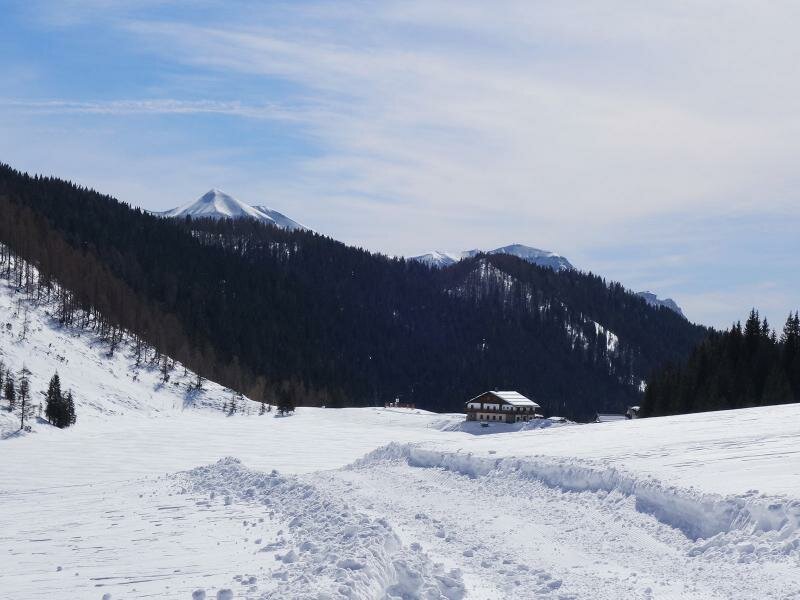
At the end of the provincial road leading uphill from Canal San Bovo you can find a car park which is the starting point of this short hike. Right in front of the rifugio Miralago Calaita mountain hut (open on weekends in winter) starts the winter hiking path. We walk towards north and after only a few hundred metres, the cross-country ski track branches off from the walking path.
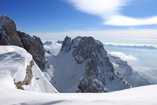
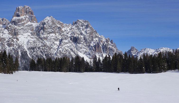
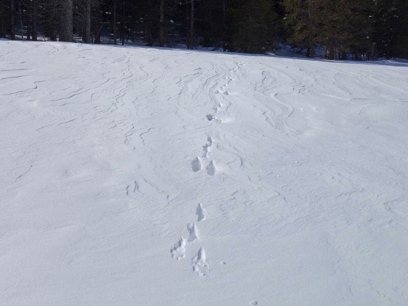
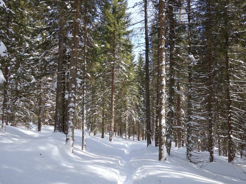
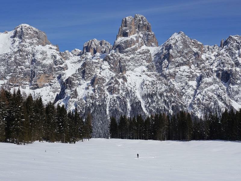
The almost entirely flat, wide route runs along the lakeside and across a meadow and is easily walkable. After about 1.5 km of walking we reach the forest edge where some hikers already marked out a path with their snowshoes. Continuing towards north you could reach San Martino di Castrozza. However, today we settle for a short walk by following the path branching off to the right which leads us to a panoramic viewpoint. From here a truly impressive view of the Pale di San Martino group and Sass Maor opens up. We return along the same path.
Please note: snowshoes can be rented at the mountain hut (on weekends) but they are not required for this hike. If you are looking for a longer and more challenging hike you can extend it towards San Martino di Castrozza or to the surrounding peaks
Author: AT
-
- Starting point:
- Rifugio Miralago Calaita
-
- Overall time:
- 01:00 h
-
- Total route length:
- 3,8 km
-
- Altitude:
- from 1.600 m to 1.655 m
-
- Altitude difference (uphill | downhill):
- +104 m | -104 m
-
- Route:
- Rifugio Miralago Calaita - Forcella Calaita
-
- Resting points:
- Rifugio Miralago Calaita
-
- Recommended time of year:
- Jan Feb Mar Apr May Jun Jul Aug Sep Oct Nov Dec
-
- Download GPX track:
- Winter walk to Lake Calaita
If you want to undertake this hike, we recommend you to check the weather and trail conditions in advance and on site before setting out.


-01.jpeg)