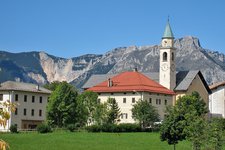
Forte Belvedere with the museum on World War I and Lake Lavarone are among the highlights of this stage
Image gallery: “100 km dei Forti” stage 2: Lavarone High Plateau
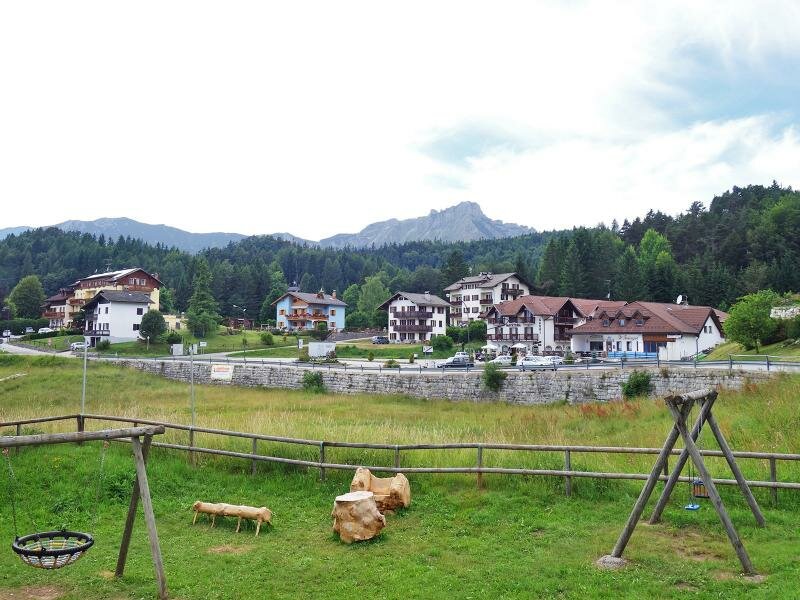
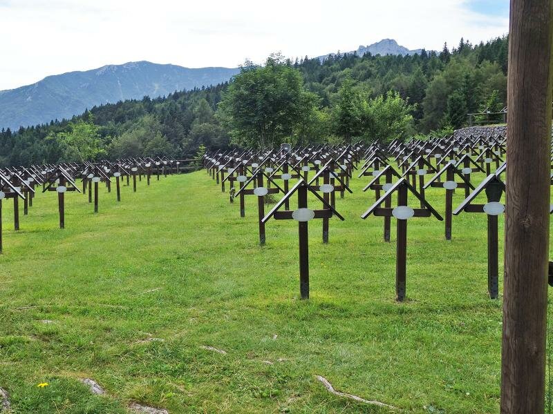
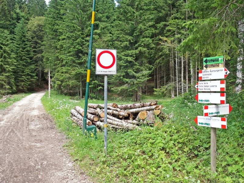
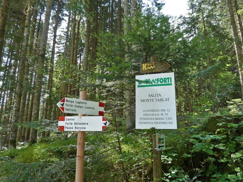
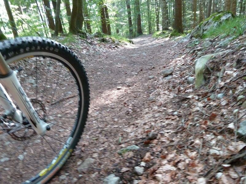
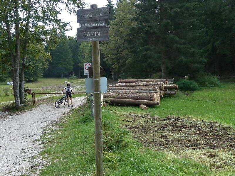
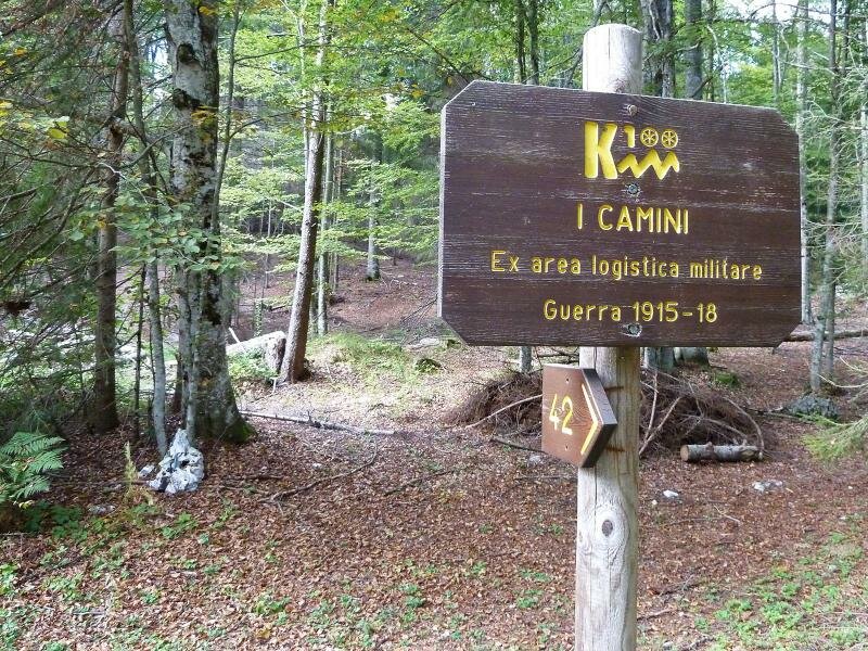
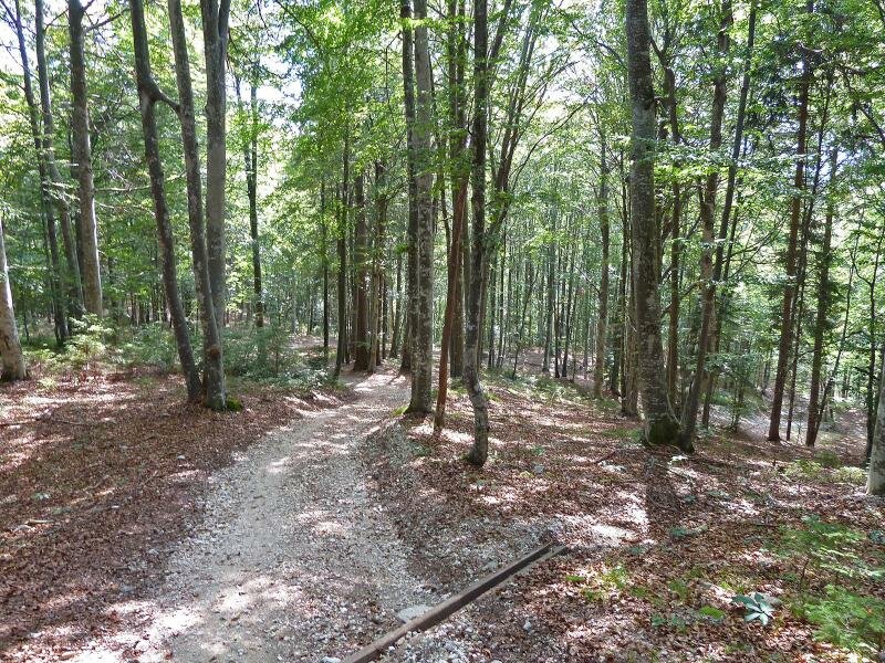
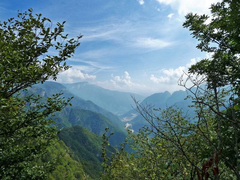
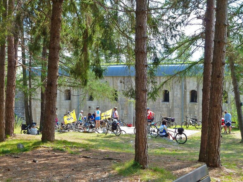
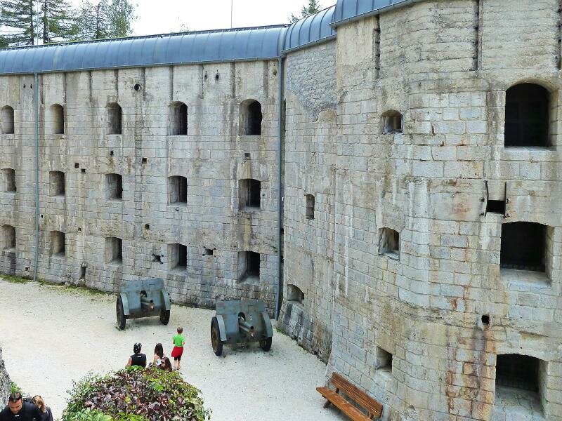
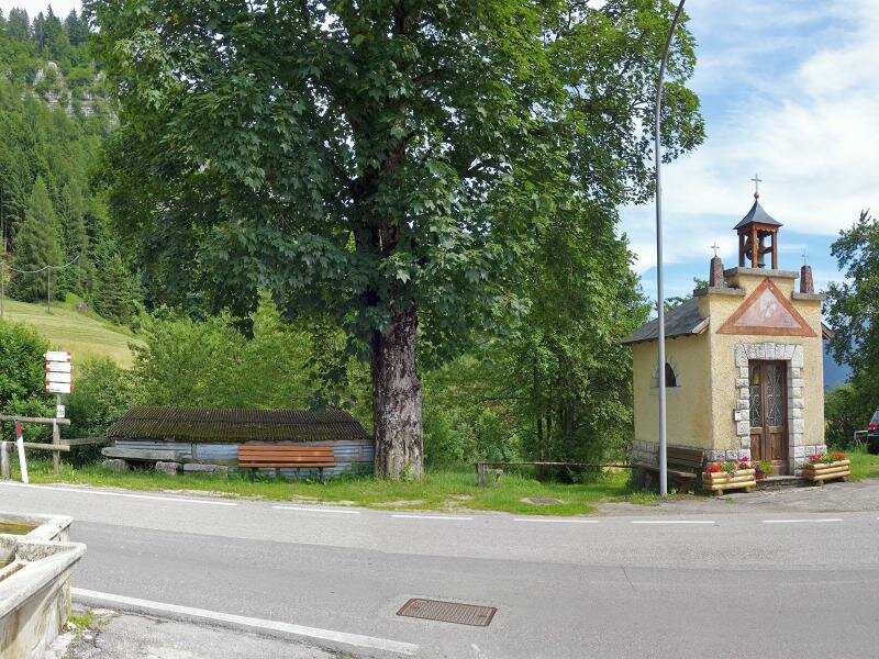
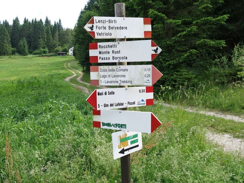
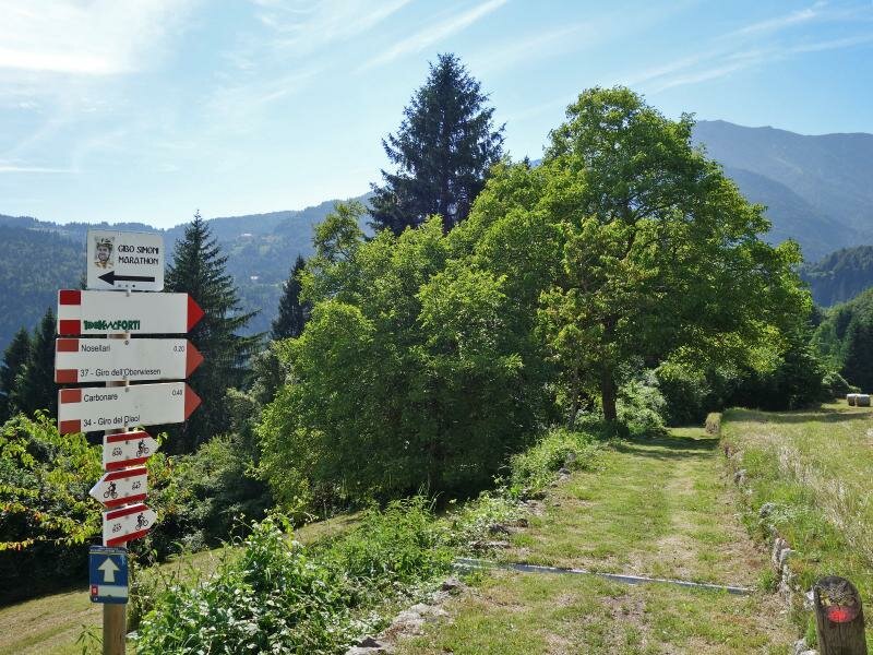
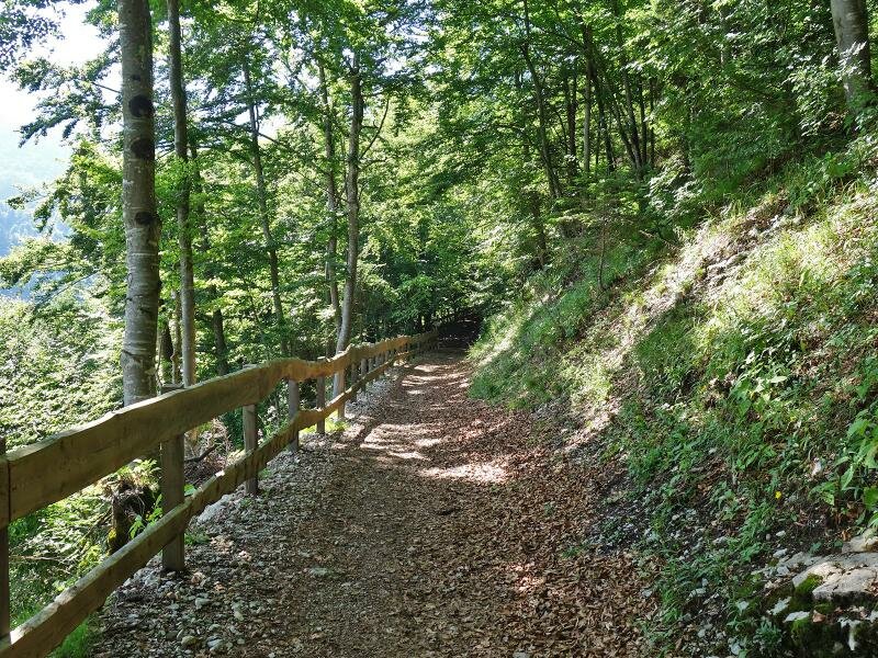
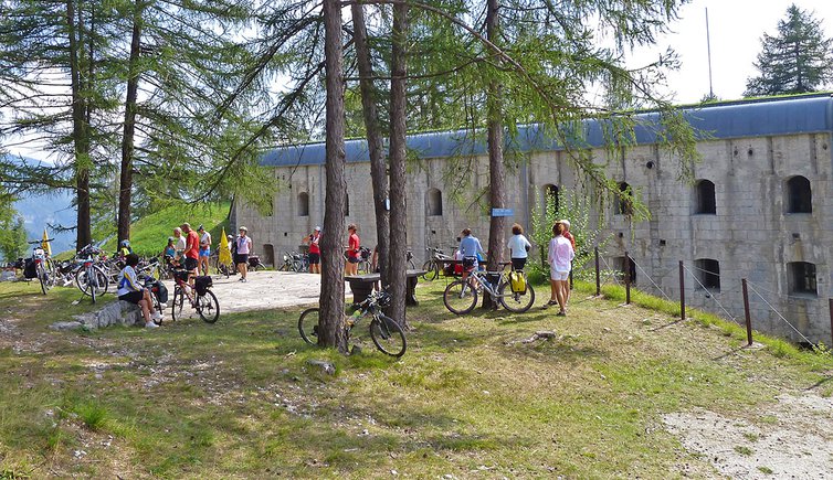
Our starting point is Cappella di Lavarone from where we cycle along the road to the Gionghi district. There we take the road towards Bertoldi. We cycle past the valley station of the Tablat chair lift and take the forest road to Monterovere, near the village of Slaghenaufi. Arriving at the junction with the asphalt road, we follow the SP 133 and then the SS 349 towards Lavarone. After about 1 km, at the juction for the Laghetto mountain hut, a forest path up to Mt. Tablat / Pra dell’Antal begins on the right. It also leads to the “Camini”, an army supply centre during the war. Through a beech forest, we reach Forte Gschwent Belvedere. This Austro-Hungarian fortress is strategically positioned above the Val d’Astico and delights visitors with a fantastic view over the Luserna and Folgaria high plateaus. Here, we can visit a **World War I museum.
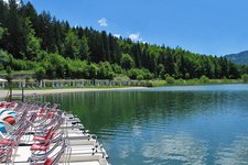
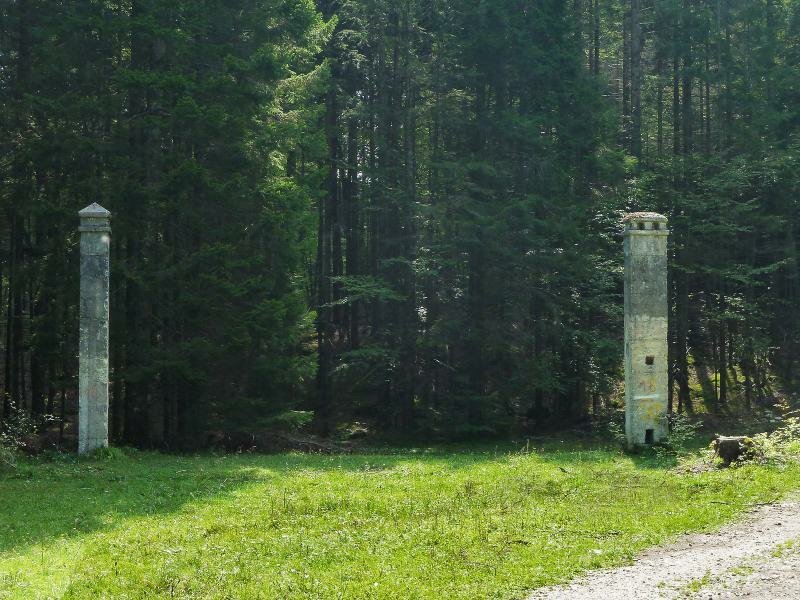
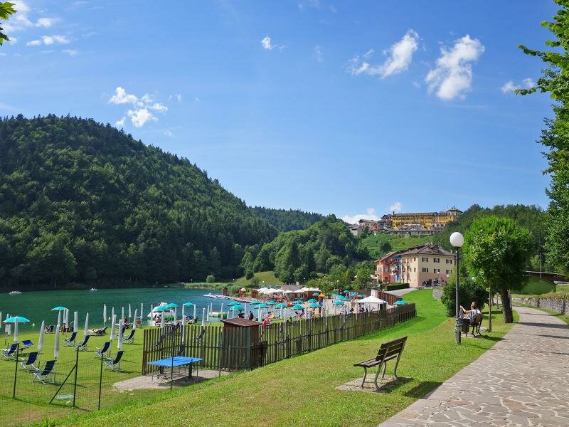
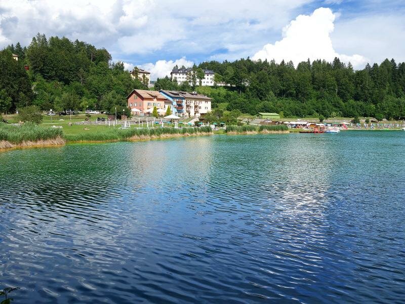
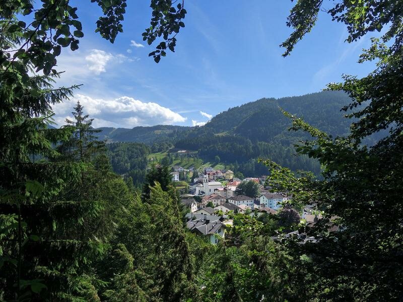
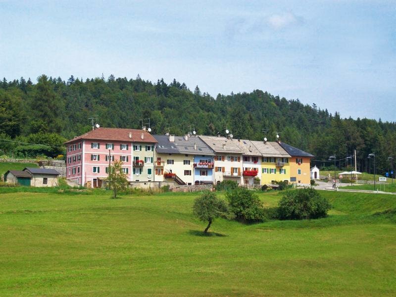
The route then proceeds downhill to the villages of Oseli and Birti-Lenzi. After a short but quite demanding section through the forest, we reach Lake Lavarone. The path around the lake is also suitable for mountain bikes but pedestrians have priority. The path then continues past small beaches, rest areas, reeds, and through the forest at the foot of Monte Rust. Finally, the path descends to the village of Carbonare di Folgaria, where the roads to Trento and the Val d’Astico converge. To complete the stage, we cycle onwards to Lavarone, then to the former Austro-Hungarian military logistics command (Comando Logistico Austroungarico), Lanzino, and finally back to Cappella di Lavarone.
With a total elevation change of approximately 700 m and a distance of 28 km, this second stage of the “100 km dei Forti” is the easiest. There is also enough time for a visit to the museum at Forte Belvedere or for a pleasant break at Lake Lavarone.
Author: AT
-
- Starting point:
- Cappella di Lavarone
-
- Overall time:
- 03:50 h
-
- Total route length:
- 28,8 km
-
- Altitude:
- from 1.042 m to 1.389 m
-
- Altitude difference (uphill | downhill):
- +721 m | -721 m
-
- Route:
- Bertoldi - Slaghenaufi - Monterovere - Pra dell'Antal - "Camini" - "Forte Belvedere" fortress - Birti-Lenzi – Lake Lavarone - Carbonare - former Austro-Hungarian command station - Lanzino - Gionghi - Cappella di Lavarone
-
- Signposts:
- 100 km dei Forti
-
- Destination:
- Cappella di Lavarone
-
- Resting points:
- taverns in the villages along the route
-
- Recommended time of year:
- Jan Feb Mar Apr May Jun Jul Aug Sep Oct Nov Dec
-
- Download GPX track:
- “100 km dei Forti” stage 2: Lavarone High Plateau
We highly recommend checking the weather and trail conditions in advance and on site before starting this tour.