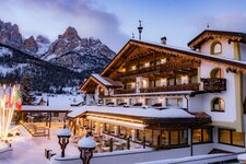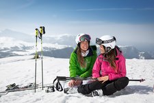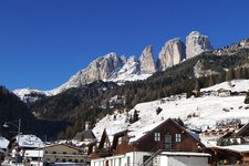
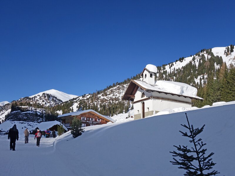
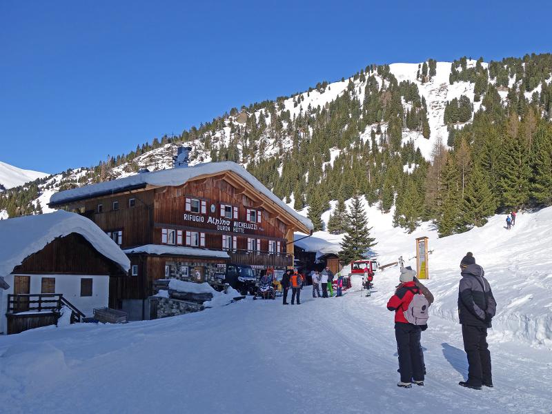
Today’s winter hike starts in Campitello di Fassa and leads us to the Rifugio Alpino Micheluzzi hut in the Val Duron, at the foot of the Alpe di Siusi and the Catinaccio group
Image gallery: Winter hike to the Alpino Micheluzzi Mountain Hut
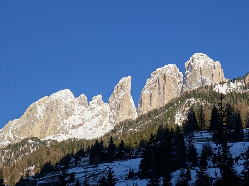

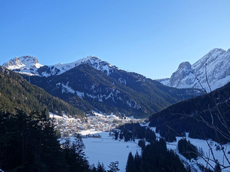
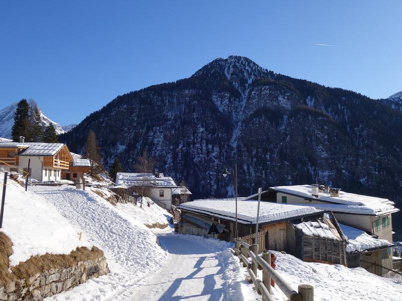
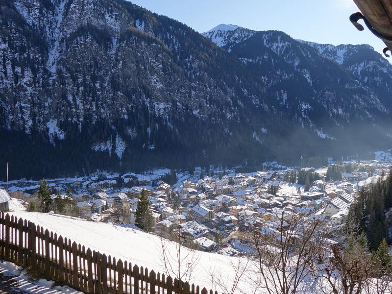

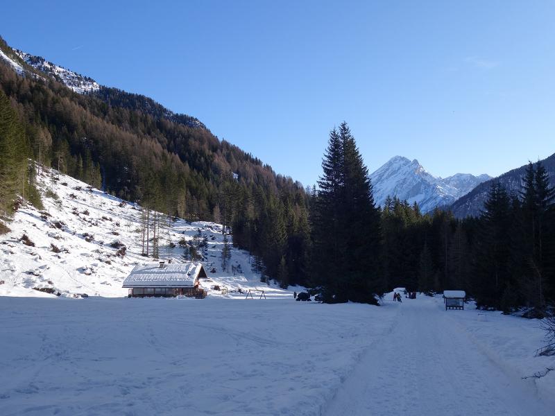
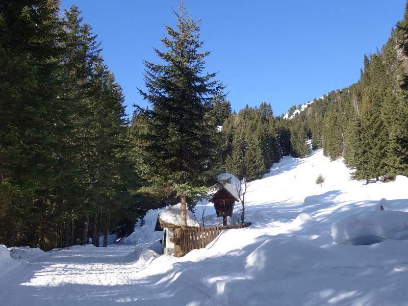
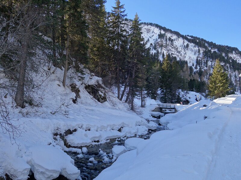
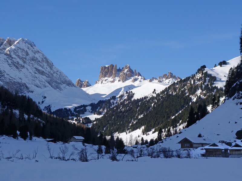
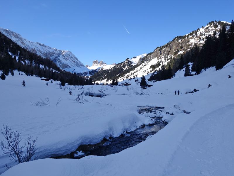
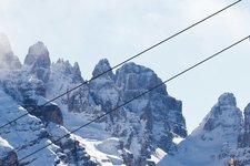
We start in the centre of Campitello di Fassa and take the road to the parish church (Streda de Col) and the mountain hamlet of Pian. From here we continue along the sunny slope at the foot of the Sassolungo group to the forest. This section of the path offers us a stunning panoramic view of the upper Val di Fassa with Canazei and the Marmolada, as well as of the lower part towards Moena with the Catinaccio. We continue walking along a path towards the valley flow which then joins the steeper road of the valley leading towards west past the Baita Fraines hut.
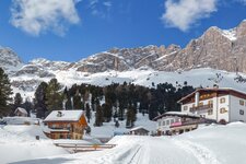
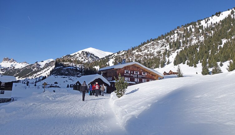
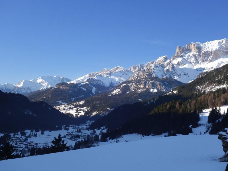
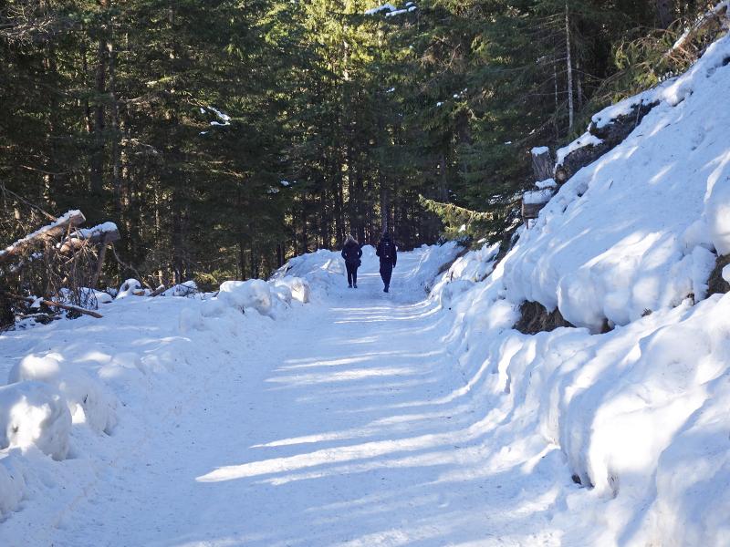
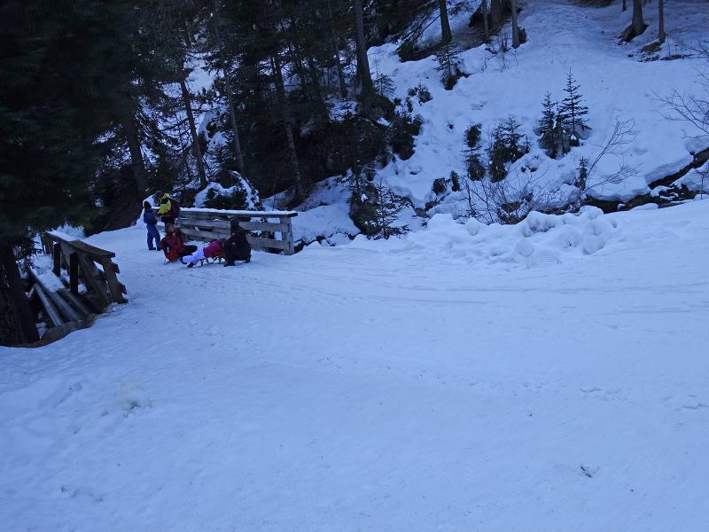
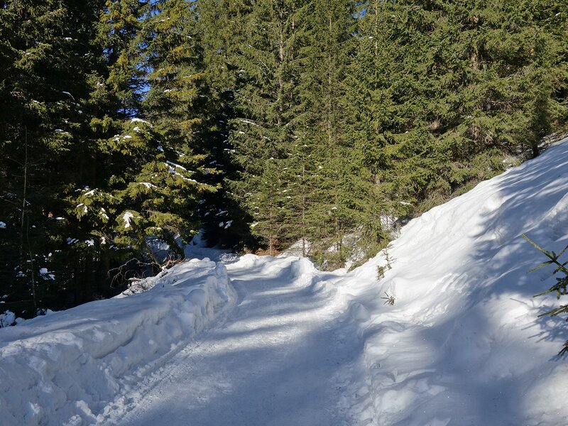
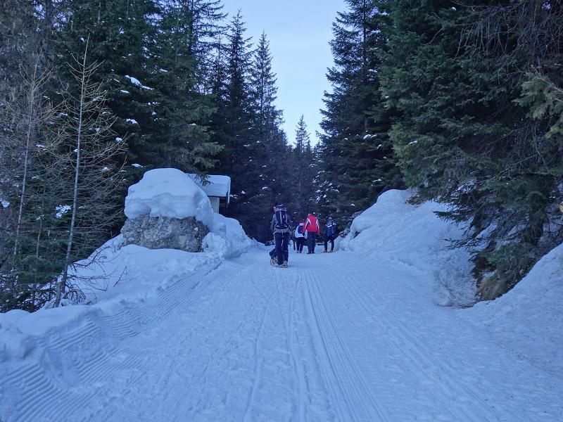
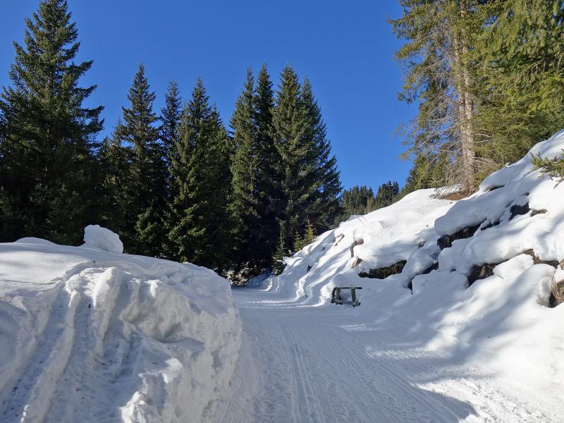
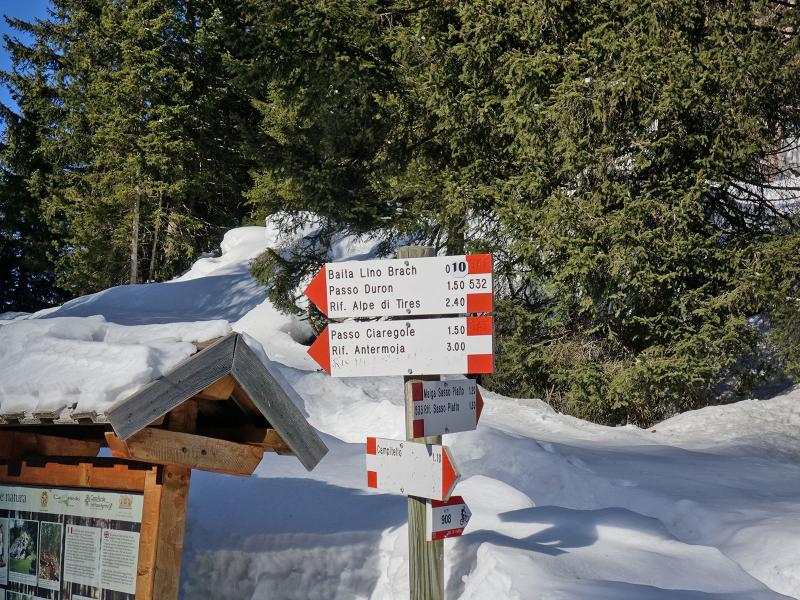
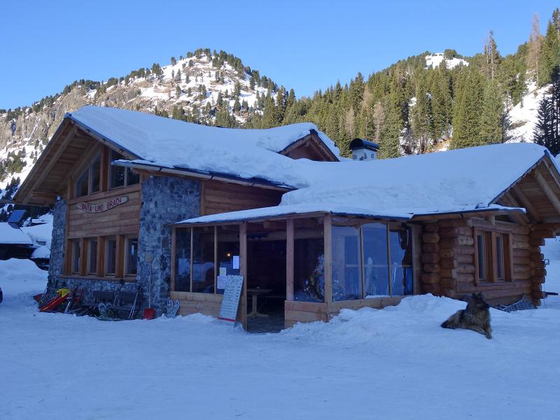
We hike across the snowy forest and the itinerary leads us uphill to a high plateau where the Rifugio Micheluzzi mountain hut stands. After our lunch break we continue hiking towards the valley floor where a wonderful winter landscape with stunning views of the Molignon and the Denti di Terraross awaits us. Eventually, we arrive at the Baita Lino Brach mountain hut, the end point of the marked path. For our return to Campitello we follow the same path which can also be done by sledge.
Author: AT
-
- Starting point:
- Campitello di Fassa (village centre)
-
- Overall time:
- 03:20 h
-
- Total route length:
- 11,3 km
-
- Altitude:
- from 1.427 m to 1.868 m
-
- Altitude difference (uphill | downhill):
- +456 m | -456 m
-
- Signposts:
- Streda de Col, Pian di Campitello, Val Duron, no. 532
-
- Destination:
- Rif. Micheluzzi (Duronhaus); Baita Lino Brach hut
-
- Resting points:
- Rif. Micheluzzi/Duronhaus; Baita Lino Brach hut
-
- Recommended time of year:
- Jan Feb Mar Apr May Jun Jul Aug Sep Oct Nov Dec
-
- Download GPX track:
- Winter hike to the Alpino Micheluzzi Mountain Hut
If you want to undertake this hike, we recommend you to check the weather and trail conditions in advance and on site before setting out.