This renowned cycle track connects the Trentino villages to lake Garda, Torbole and Riva and to the Val d’Adige cycle track between Rovereto and Mori
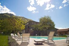
Image gallery: Lake Garda cycle track: Riva del Garda - Torbole - Mori
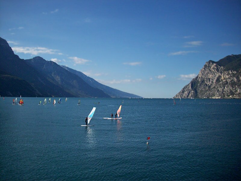
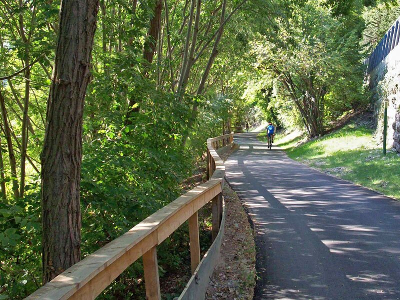
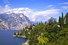
The area around Lake Garda is known for being a paradise for cyclists and mountain bikers who will definitely enjoy the numerous MTB routes on the steep slopes of Monte Baldo and Tremalzo. The well-developed network of cycle paths north of
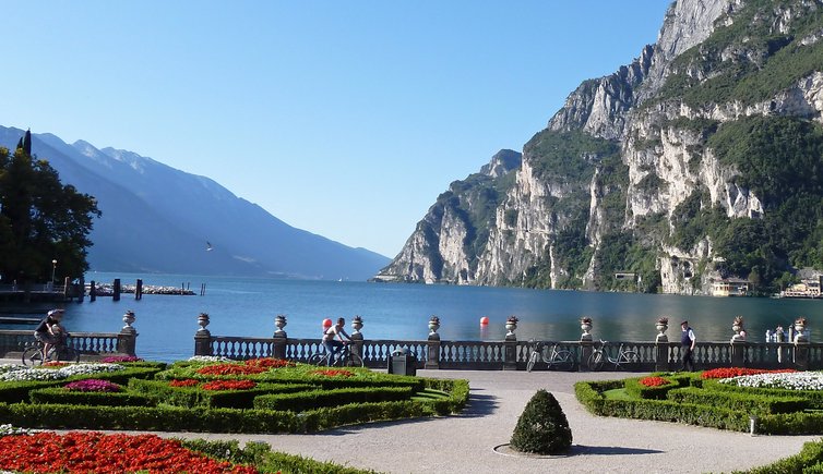
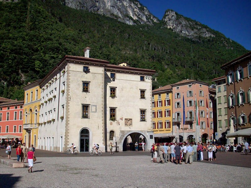
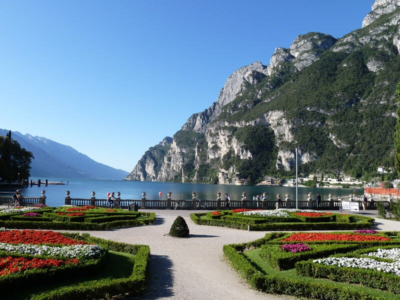
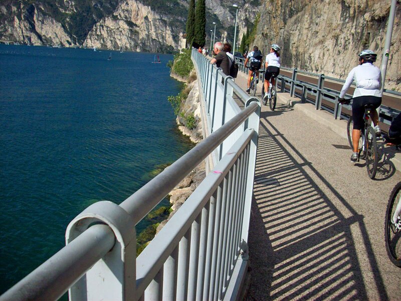
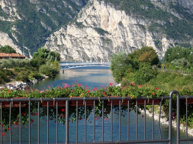
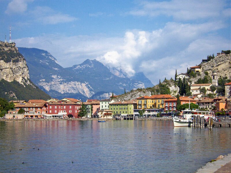
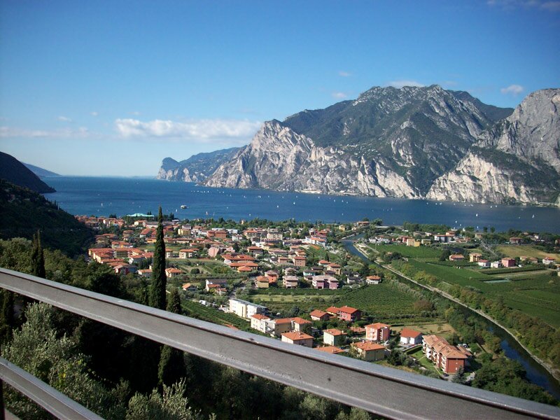
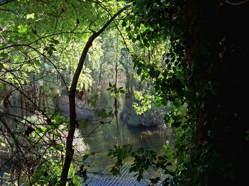
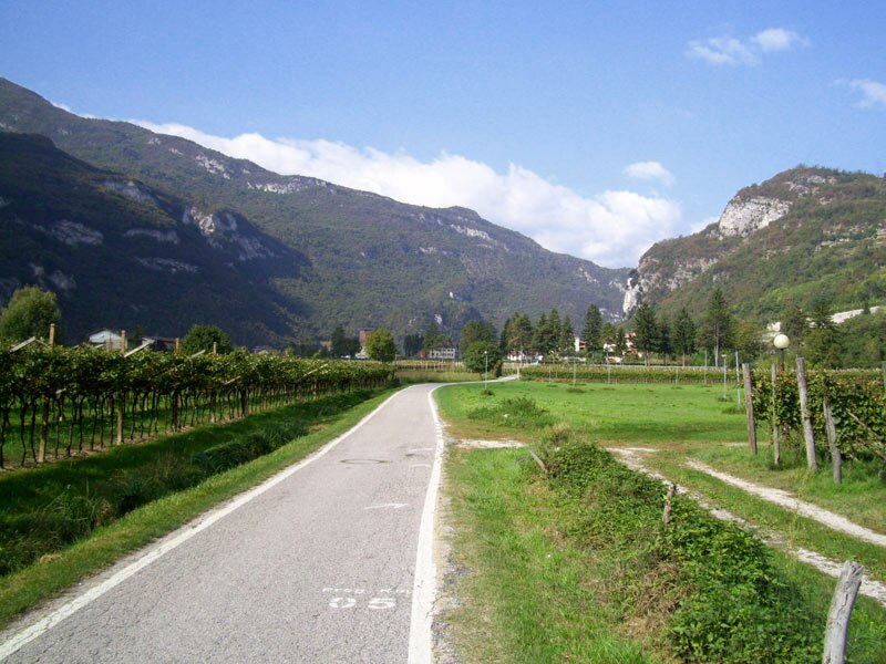
Lake Garda is perfect for less trained cyclists and families. The connection between Riva and Garda del Torbole on the Valle dell'Adige cycle track is one of the most well-known stretches. The cycle route starts in the piazza del municipio in Riva del Garda and runs along the shores of Lake Garda towards Torbole. While covering this stretch you can admire the wonderful natural landscape of the area and undertake a side trip to the romantic promenade on the shore (watch out for pedestrians) or to the drawbridge where the Sarca river flows into Lake Garda and the cycle path to the Valle dei Laghi branches off.
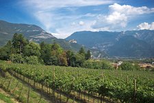
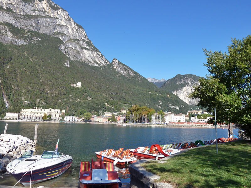
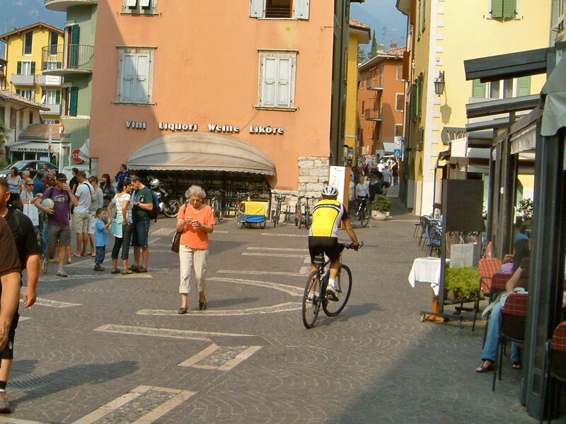
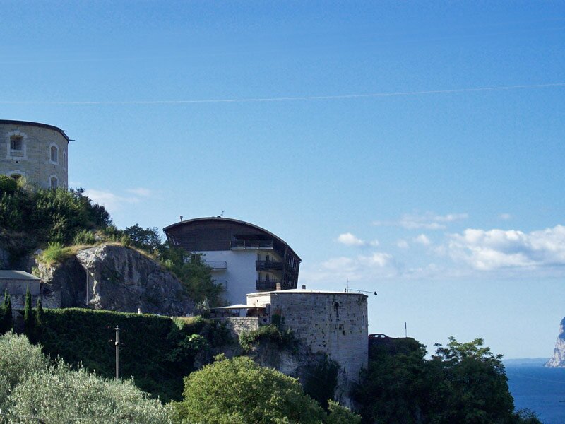
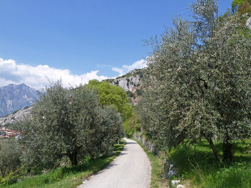
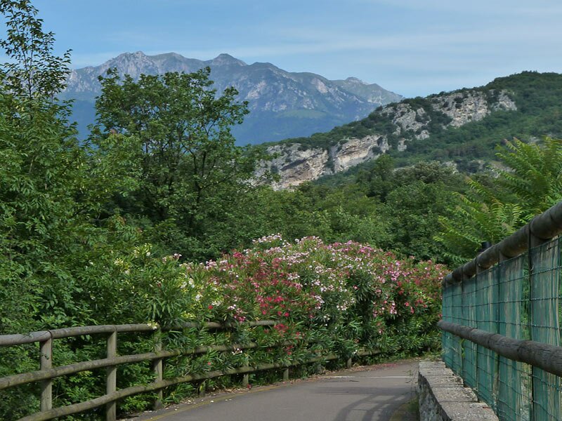
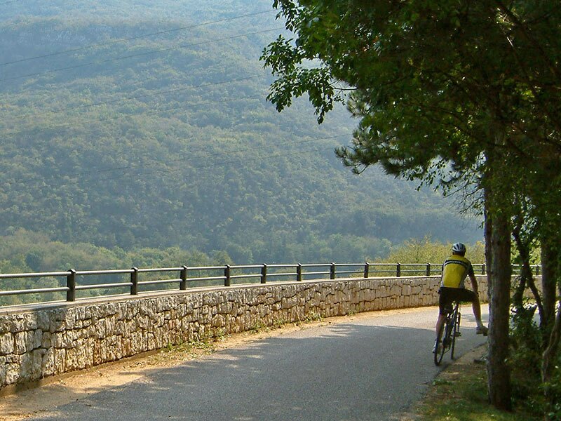
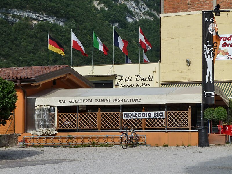
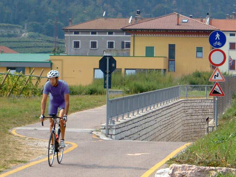
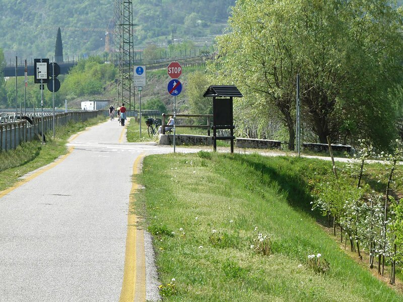
In the vicinity of the centre of Torbole we leave the promenade and take Via Benaco which merges into the main road. We head towards south for about 70 metres and then turn left into Via Pontalti. Here the ascent to Nago starts. This path leads past the Forte (offering a stunning panoramic view of the lake) and the localities of Nago. Then we continue among the vineyards until Passo di San Giovanni, the highest point of this trip, from here on we only need to tackle a downhill section towards the Valle dell'Adige to the edge of the Lago di Loppio biotope, a protected natural area. Slightly lower than Loppio lies the "Bicigrill", a bistrot for cyclists. The cycle path proceeds until the centre of Mori and descends near the church of San Bagio before merging into the Vallagarina cycle path (Trento - Rovereto - Verona).
Please note: the ascent from Torbole to Nago is short but demanding.
-
- Starting point:
- Riva del Garda
-
- Overall time:
- 01:35 h
-
- Total route length:
- 17,7 km
-
- Altitude:
- from 63 m to 275 m
-
- Altitude difference (uphill | downhill):
- +272 m | -174 m
-
- Signposts:
- Pista ciclabile Garda trentino, N° 8
-
- Destination:
- Mori at Rovereto
-
- Track surface:
- asphalt
-
- Recommended time of year:
- Jan Feb Mar Apr May Jun Jul Aug Sep Oct Nov Dec
-
- Download GPX track:
- Lake Garda cycle track: Riva del Garda - Torbole - Mori