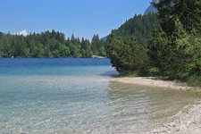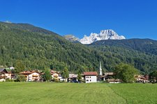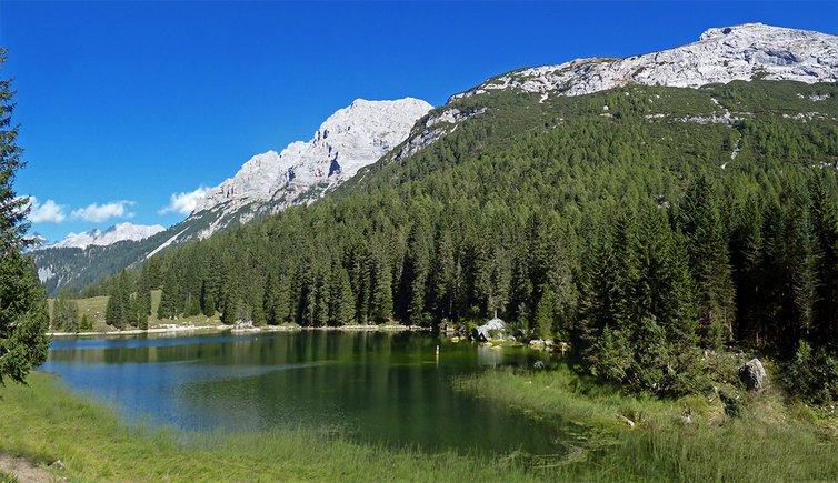
This short, 4 km long hike is suitable for families and takes us to the stunning Lago di Valagola (or Lago di Val d’Agola), along forest paths at the foot of the Brenta Dolomites
Image gallery: Walk to Lake Valagola
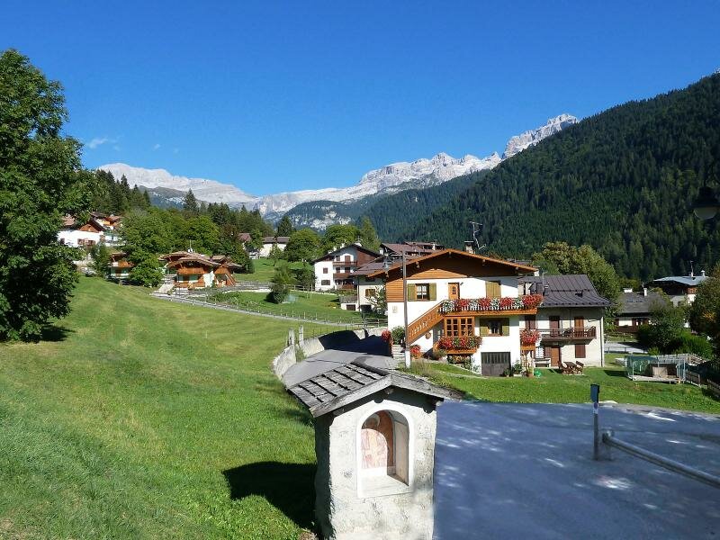
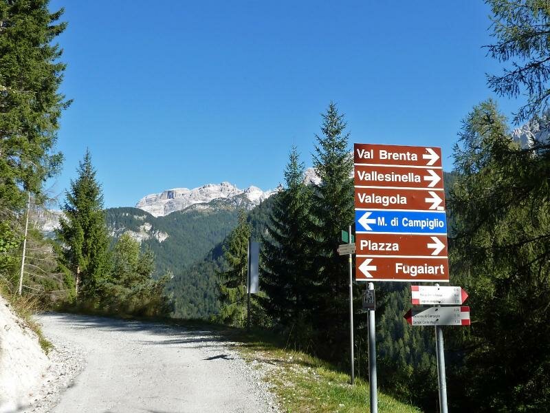
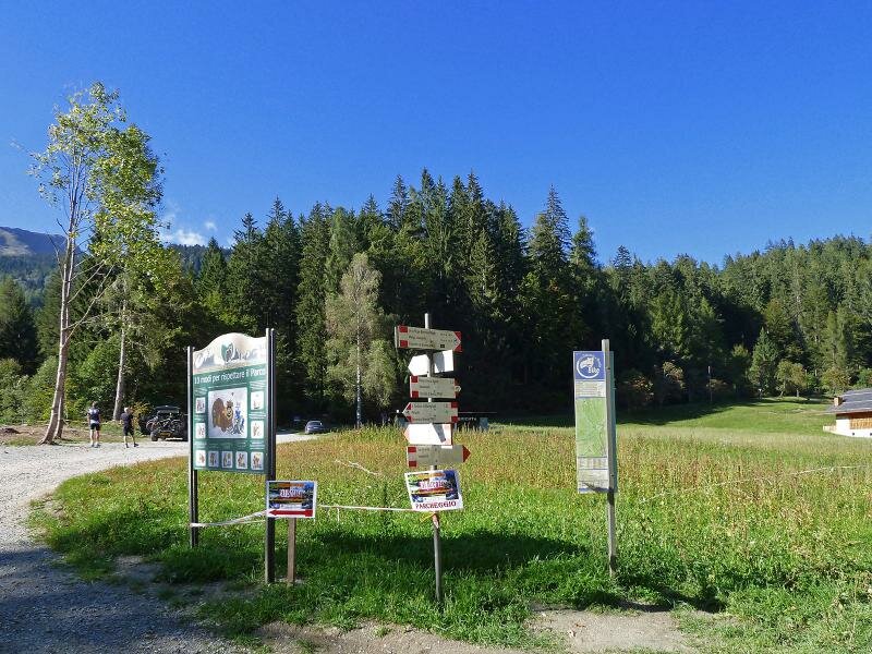
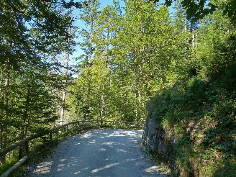
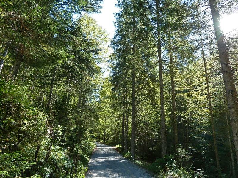
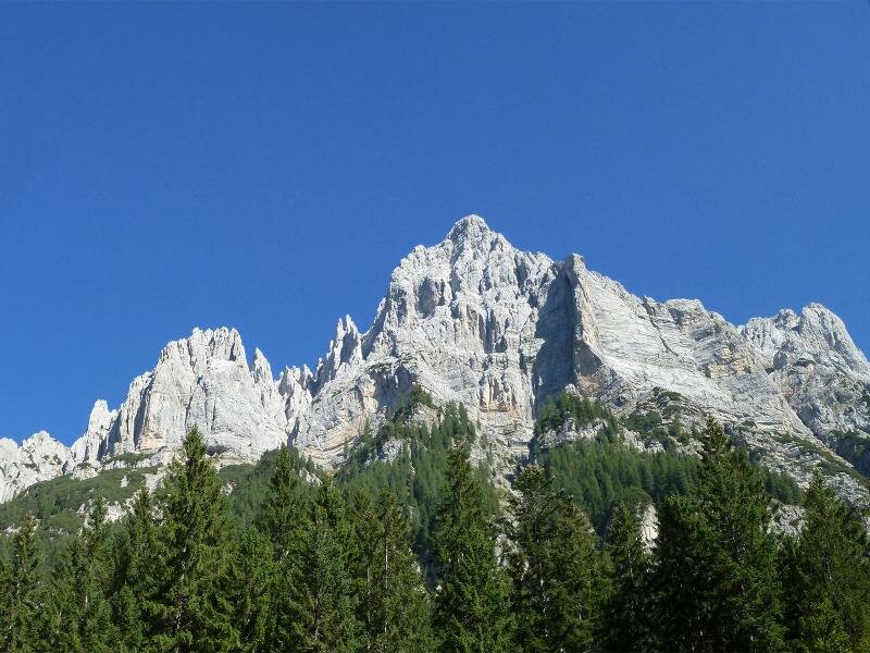
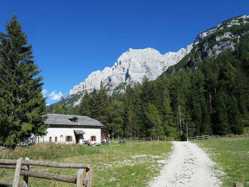
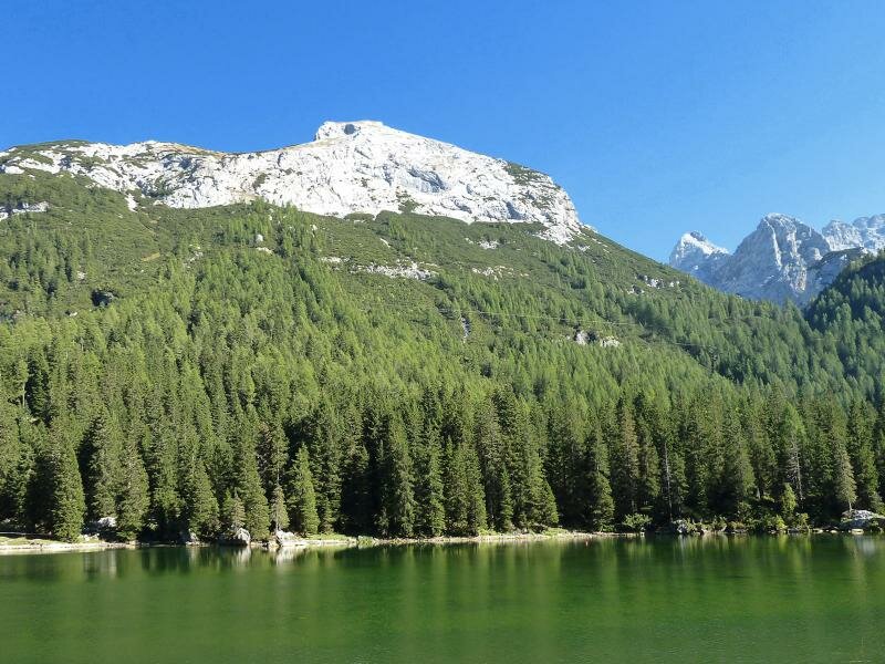
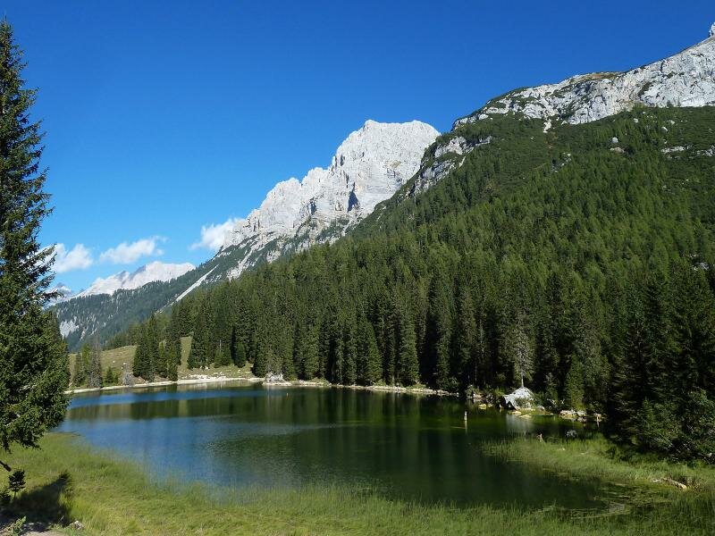
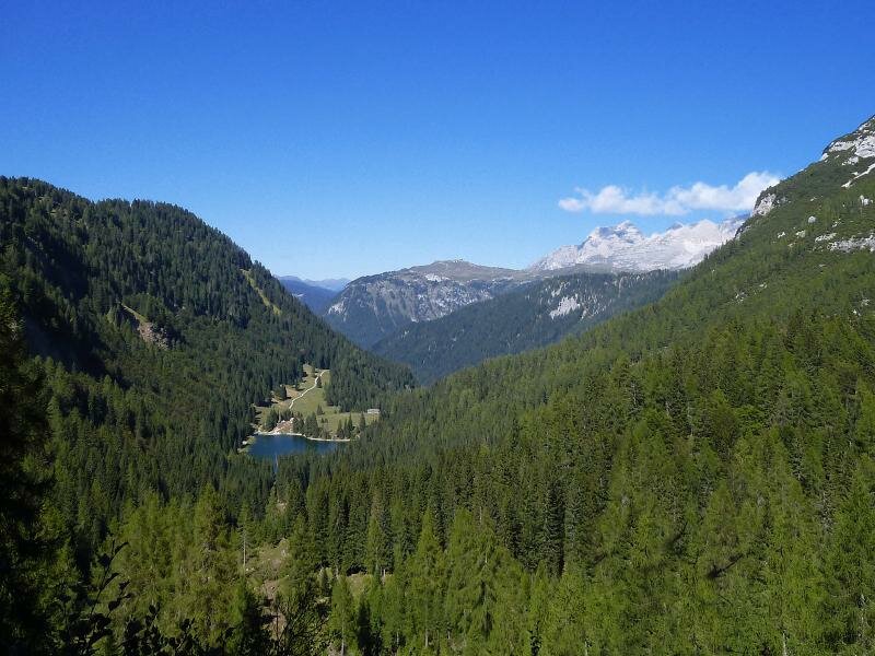
Lago di Valagola is an ideal destination for those seeking to enjoy a day in nature without much physical effort. The starting point is located at the entrance of the eponymous valley in the Brenta Dolomites, between the Doss di Sabion, Cima Nardis and Cima Fracinglo. The ascent runs along a broad forest path and is feasible in about 90 minutes. To reach the car parks, follow the signs for the Val Brenta and Valagola from the village of Sant'Antonio di Mavignola.
The path to Malga Valagola and the eponymous lake leads slightly uphill through the forest of Cantin. This circular itinerary around the lake offers stunning views with the Brenta Dolomites in the background. The colours of its crystal clear waters range from light blue to different shades of green depending on the angle of the sun.
Author: AT
-
- Starting point:
- San Antonio di Mavignola, parking space at the end of the Via Valagola
-
- Overall time:
- 03:25 h
-
- Total route length:
- 11,2 km
-
- Altitude:
- from 1.229 m to 1.597 m
-
- Altitude difference (uphill | downhill):
- +375 m | -375 m
-
- Signposts:
- strada forestale Malga Valagola
-
- Destination:
- Lake 'Lago di Valagola'
-
- Recommended time of year:
- Jan Feb Mar Apr May Jun Jul Aug Sep Oct Nov Dec
-
- Download GPX track:
- Walk to Lake Valagola
If you want to undertake this hike, we recommend checking the weather and trail conditions in advance and on site before starting this hike!