We hike through the Valle di Cembra to the pyramids of Segonzano and discover the autumn colours of the forests, vineyards, hamlets and castles along the way
Image gallery: Circular autumn hike in the Val di Cembra
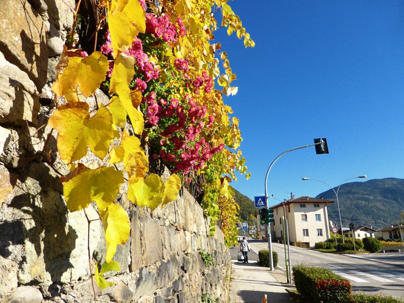

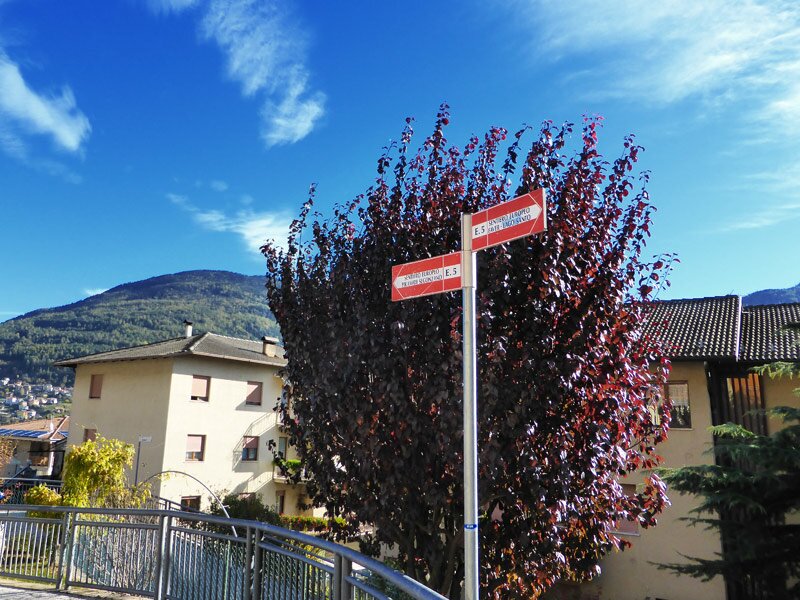
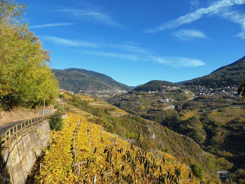
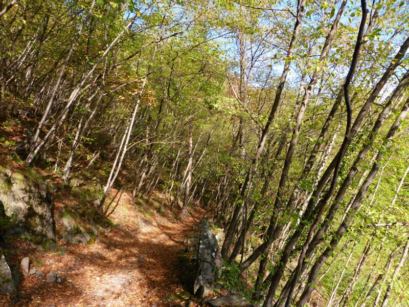
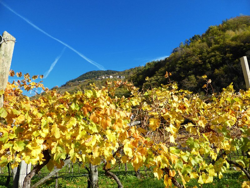
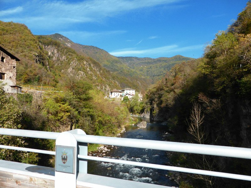

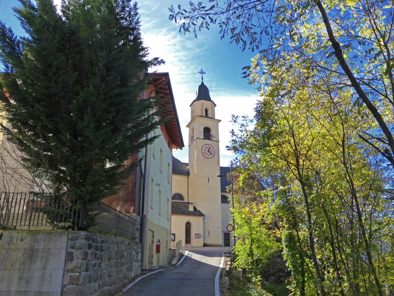
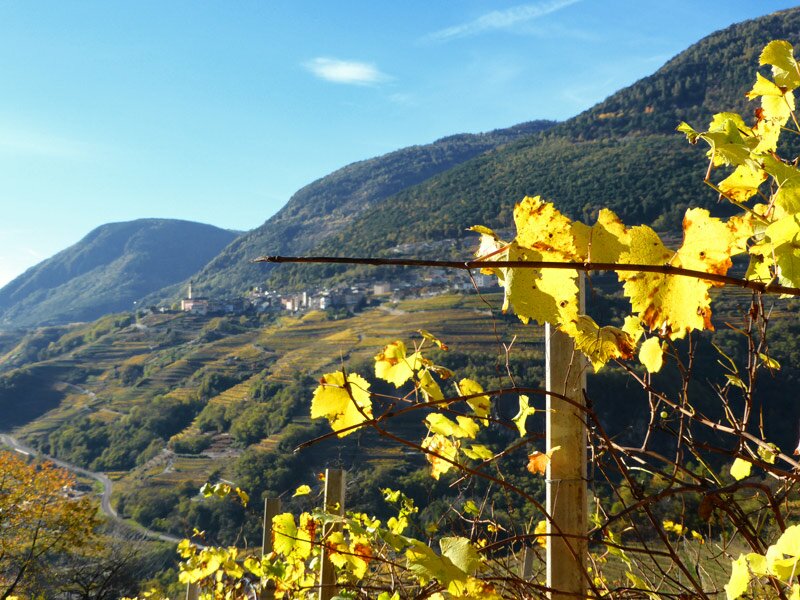
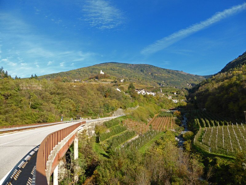
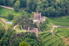
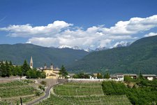
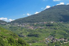
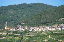
On a wonderful November day we begin our hike in the historic centre of the village of Cembra. We walk along the path paralleling the SS 612 to the nearby village of Faver. At the northern end of the village we follow the signpost no. E5 north towards Segonzano. This itinerary coincides with the final stage of the 'Sentiero del Dürer' path, an ancient mule path the great Renaissance artist Dürer completed during his journey in Italy. The landscape is characterised by vineyards and forests and on the valley floor we cross the Ponte di Cantilaga, a bridge over the Avisio stream. On the other side of the valley we ascend towards the ruins of Castello di Segonzano castle and ascend a steep and narrow road to the hamlet of Stedro. From here, it is only a short walk to the well-known pyramids of Segonzano.
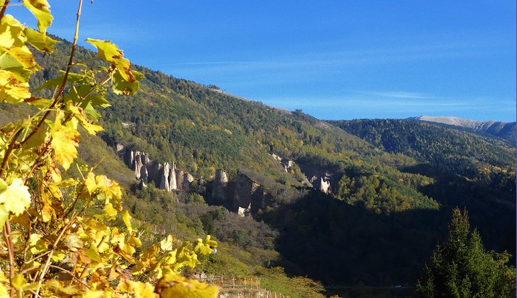
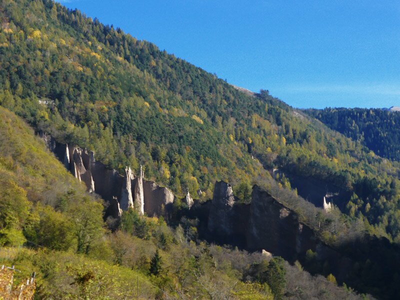
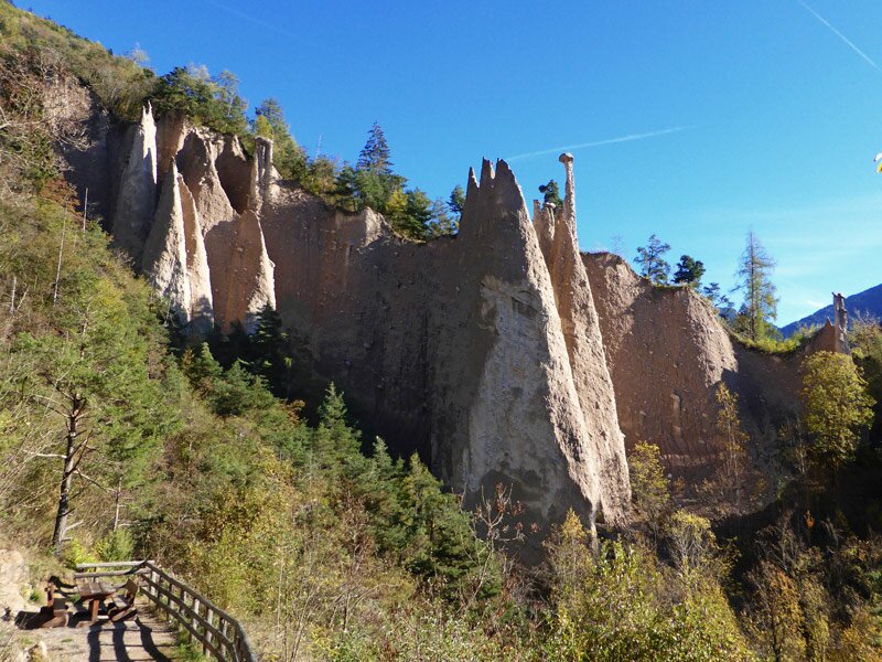
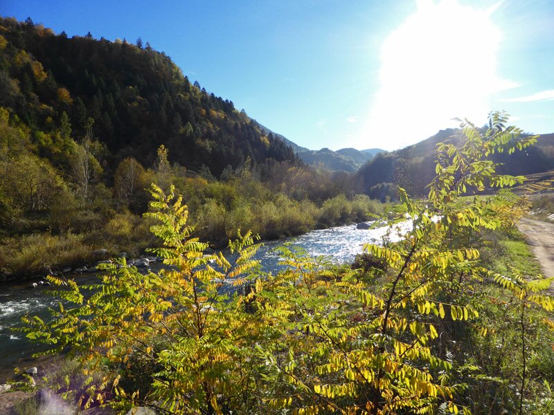
The earth pyramids are the main attraction of Segonzano and its surroundings. This geological phenomenon formed after some erosions and can be reached via the itinerary of the pyramids (access: € 3.00 from April to September, free in the other months). Afterwards, we descend to the car park and take the SP 71 towards Segonzano before descending to Piazzo. We cross the bridge over the Avisio stream and take the path flanking the stream which after 700 m steeply ascends to the village of Cembra, the final destination of our hike.
Please note: this hike can be undertaken all year round but should be avoided on hot summer days. If you would like to visit the pyramids, please consider that you need to pay a fee for the maintenance of the paths and the toilets.
Date of the hike: 7 November 2013
Last updated in: 2026
Author: AT
-
- Starting point:
- Cembra (centre)
-
- Overall time:
- 04:00 h
-
- Total route length:
- 12,9 km
-
- Altitude:
- from 446 m to 736 m
-
- Altitude difference (uphill | downhill):
- +506 m | -506 m
-
- Route:
- Cembra - Faver - Ponte Cantilaga - Segonzano castle ruin - Stedro - Piramidi - Piazzo - Cembra (about 2/3 of the route is asphalted, short sections need to be walked on the narrow roadside)
-
- Signposts:
- SS 612, E5, Sentiero del Dürer, Piramidi, SP 71, SP 3
-
- Recommended time of year:
- Jan Feb Mar Apr May Jun Jul Aug Sep Oct Nov Dec
-
- Download GPX track:
- Circular autumn hike in the Val di Cembra
If you want to undertake this hike, we recommend checking the weather and trail conditions in advance and on site before starting this hike!