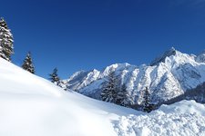
The Val di Sole cycle track starts directly below the glacier of the Ortles - Cevedale mountain range. It runs along the valley and arrives at the fertile ground of the Val di Non with its beautiful apple orchards
Image gallery: Val di Sole cycle track: Pejo - Ponte di Mostizzolo
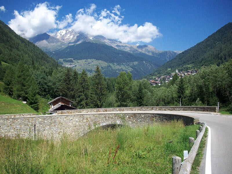

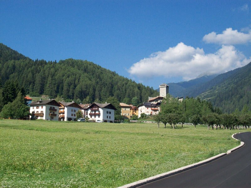
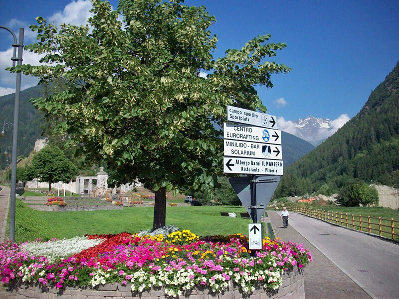
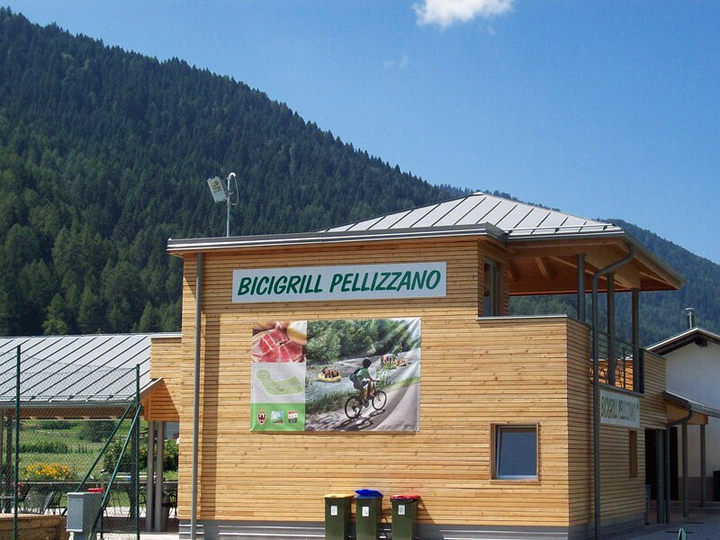
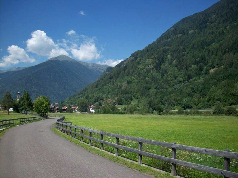
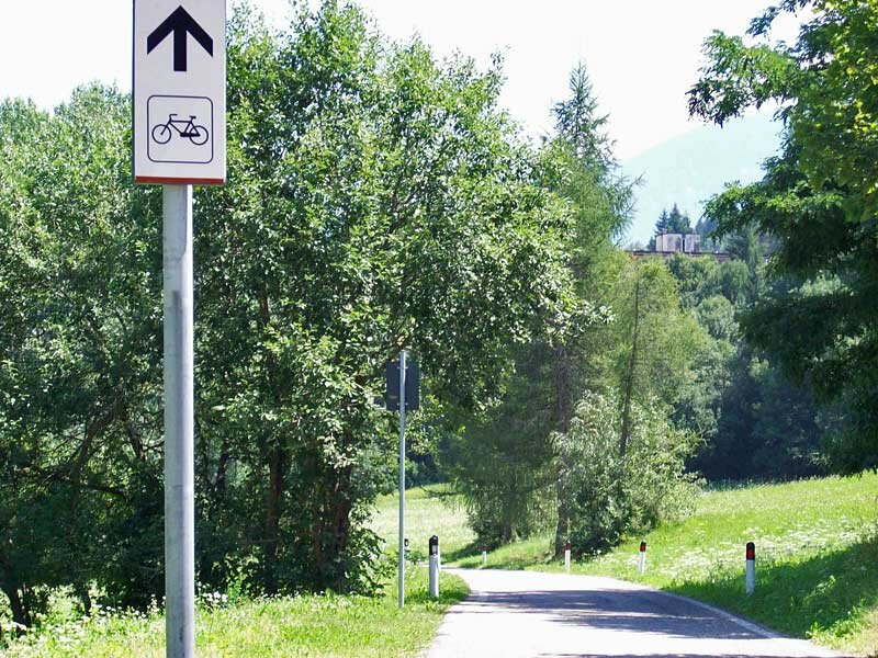
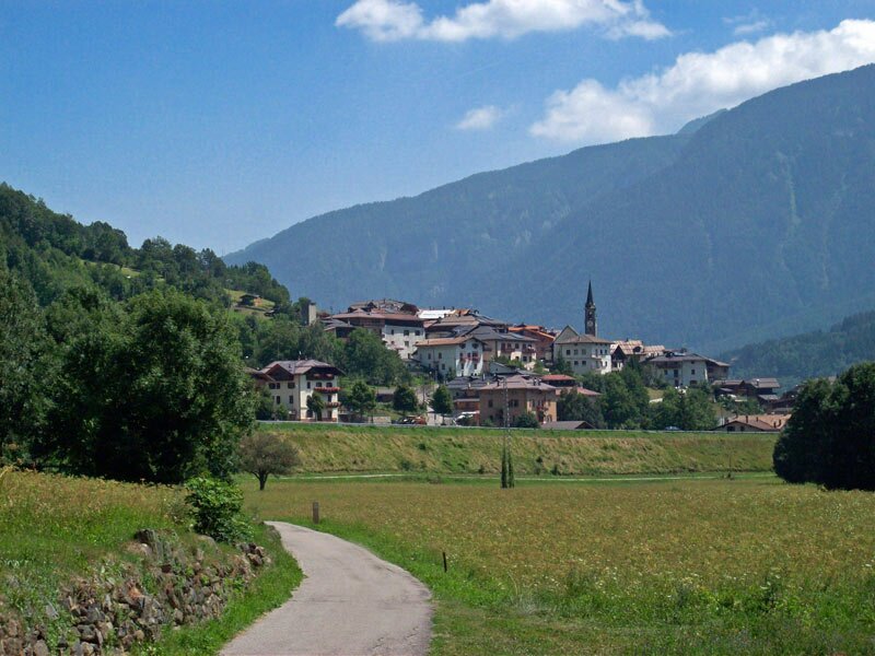
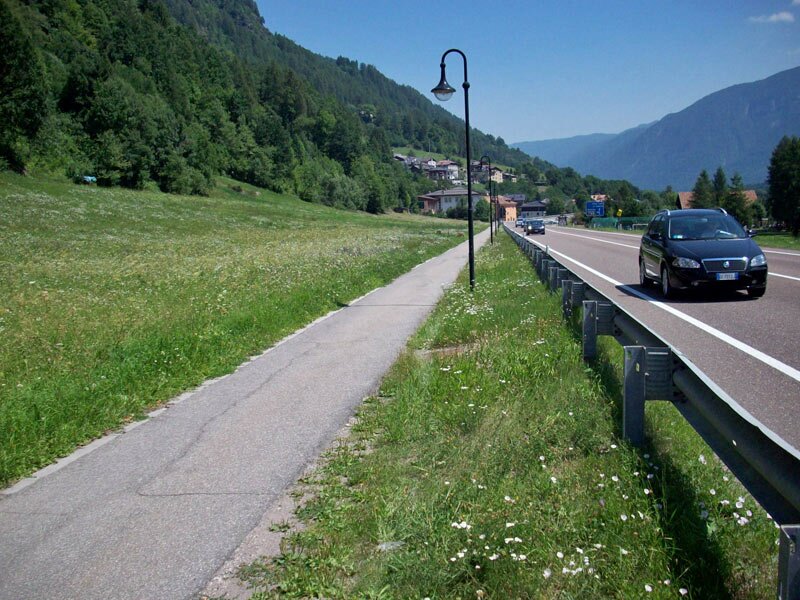
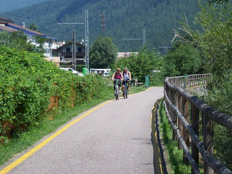
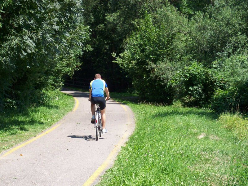
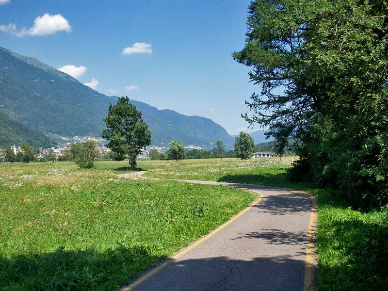
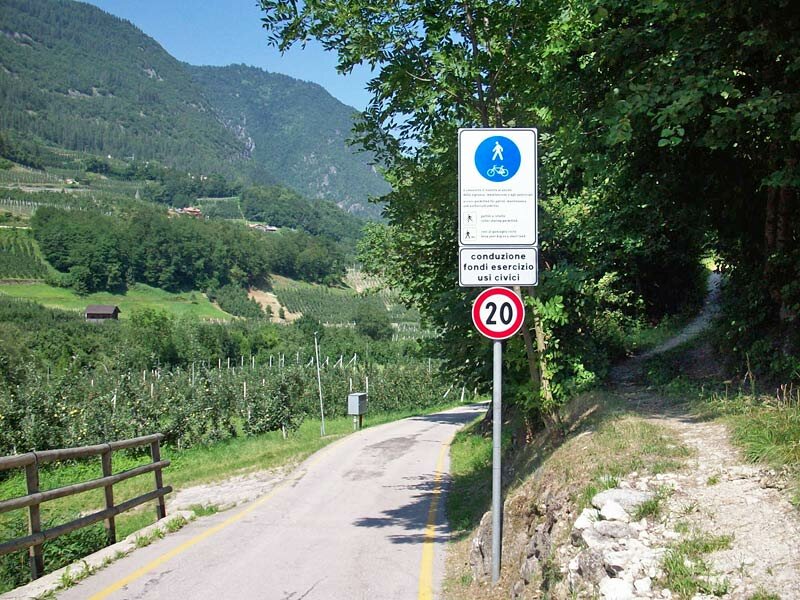
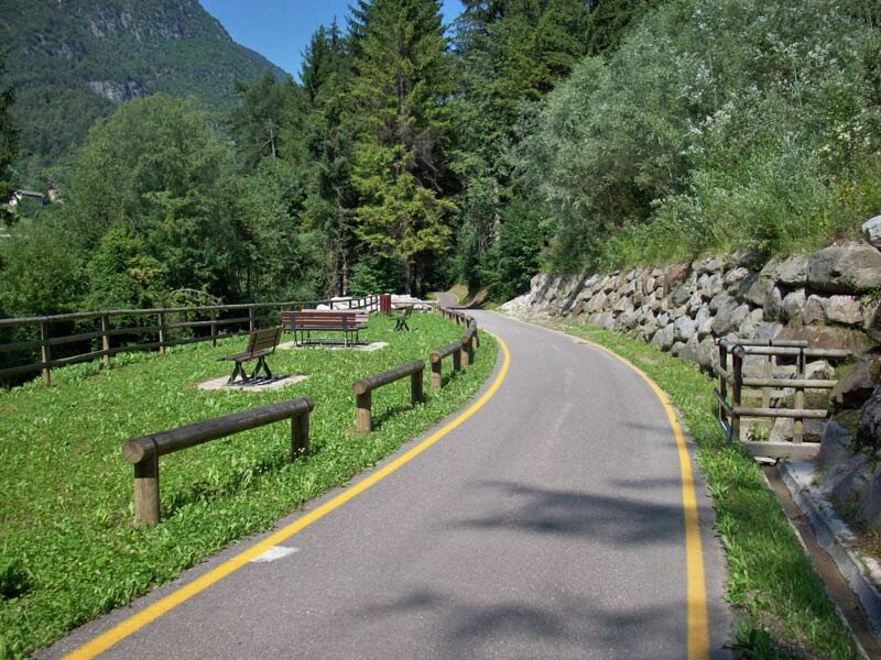
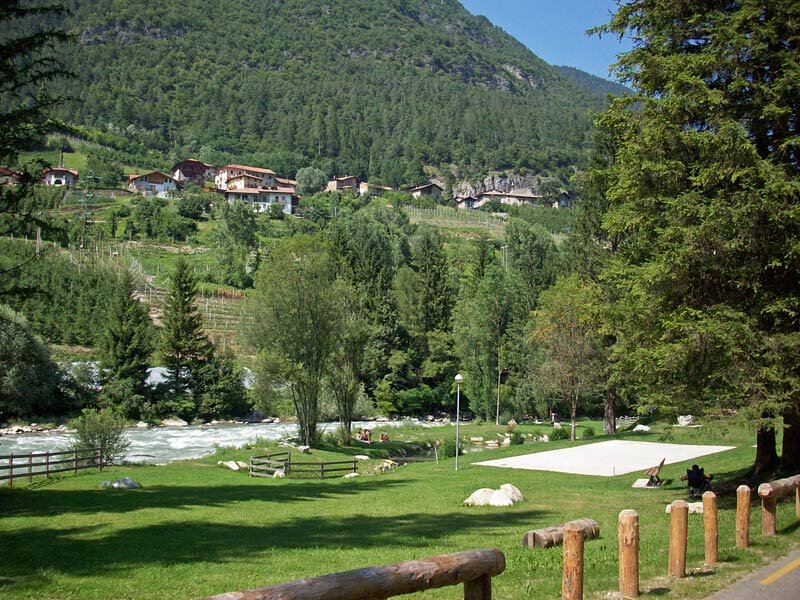
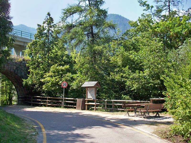
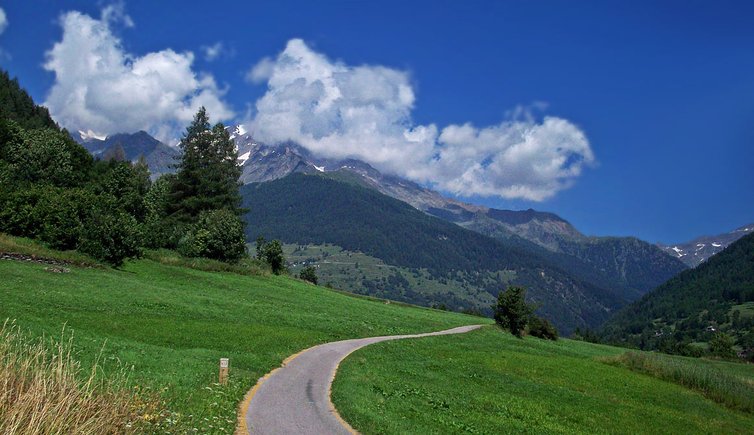
The Val di Sole cycle track follows the course of the Noce river from Pejo to the bridge of Mostizzolo in the Val di Non. Starting your bike tour in Cogolo di Pejo helps you avoid the initial climb towards Ossanna. The first section of the cycle path crosses the Val di Peio, surrounded by nature. In Fucine di Ossanna, the valley widens and flattens and in this section the cycle track passes close to theCastello di San Michele, near Pellizzano. At the edge of the village you can find a 'Bicigrill', a dedicated refreshment area for cyclists. The track continues in the southern part of the valley to Marilleva 900, and then near Commezzadura, along the road to Passo del Tonale. From this point the cycle track continues alongside the river, passing through Dimaro and Malè.
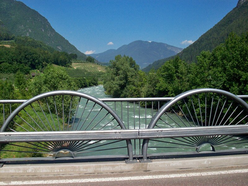
Near Terzolas, the river flows through a long, deep gorge, while the cycle path keeps to its course. You will cycle mainly through woods and fruit orchards until you reach the bridge of Mostizzolo which marks the end of the Val di Sole and therefore the cycle track. You can return to Marilleva 900 by taking the Val di Non railway (line of Trento-Malé-Mezzana) which serves approximately 75% of the route. The railway of the Val di Non is directly connected to the Val d'Adige line. Thanks to its altitude and consequently lower temperatures compared to the Val d'Adige, this cycle track is pleasant even on hot summer days.
Bike & train: regional trains with bicycle transportation service (limited space) run on the Trento - Marilleva 900 railway line ("ferrovia Val di Non").
Bike rental: Bike rental is available in Commezzadura at the Centro Bike Val di Sole.
-
- Starting point:
- Cogolo di Peio
-
- Overall time:
- 02:50 h
-
- Total route length:
- 34,1 km
-
- Altitude:
- from 572 m to 1.186 m
-
- Altitude difference (uphill | downhill):
- +329 m | -874 m
-
- Signposts:
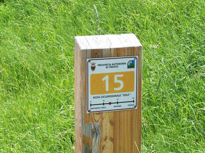
- Pista ciclabile Val di Sole (N° 4)
-
- Destination:
- Ponte di Mostizzolo
-
- Track surface:
- almost entirely asphalted
-
- Recommended time of year:
- Jan Feb Mar Apr May Jun Jul Aug Sep Oct Nov Dec
-
- Download GPX track:
- Val di Sole cycle track: Pejo - Ponte di Mostizzolo