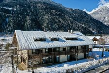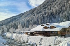
The Val Rendena cycle track starts in Pinzolo and Carisolo, leads across the valley to Tione and runs along the river Sarca to Lake Ponte Pià
Image gallery: Val Rendena cycle track: Pinzolo - Lago Ponte Pià
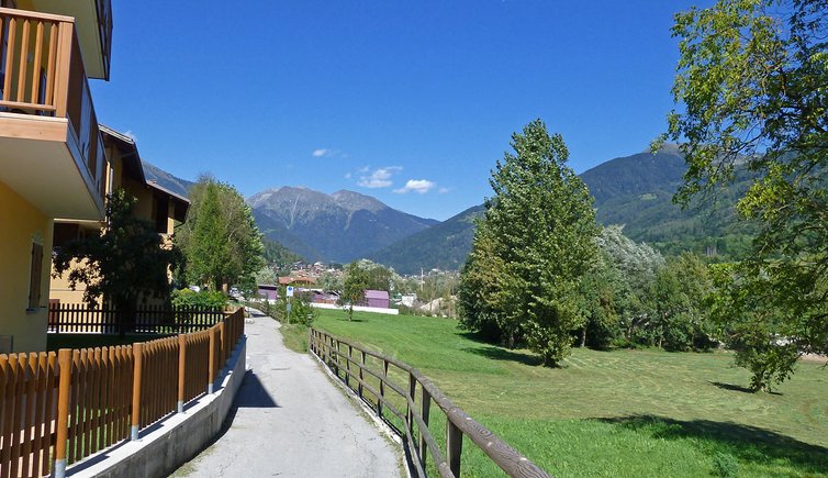
The Val Rendena cycle track, approximately 28 km long, stretches from Pinzolo, passing through Villa Rendena and Tione, to Lake Ponte Pià. For most of its length, the track follows the course of the Sarca river which flows through the Brenta Dolomites and the Adamello-Presanella mountain massif.
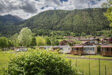
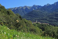
Starting in Pinzolo below Madonna di Campiglio, the track winds around the village, following the river, and proceeds towards Strembo, where it intersects the path of the golf course of Bocenago. The route through the valley basin is surrounded by meadows and forests. After the village of Spiazzo Rendena, it proceeds on the eastern side of the valley, past Villa Rendena and descends towards Tione di Trento.
From Tione, you can cycle a further 8 km, via Preore and Ragioli, to Lake Ponte Pià. Alternatively, from Ragoli, you can take the old panoramic road (SP 34) towards Stenico. This route offers a fantastic view on Comano Terme and Fiavé. Stenico is home to the homonymous Stenico Castle, which houses one of Trentino's regional art collections.
-
- Starting point:
- Pinzolo / Carisolo
-
- Overall time:
- 01:40 h
-
- Total route length:
- 23,3 km
-
- Altitude:
- from 475 m to 804 m
-
- Altitude difference (uphill | downhill):
- +54 m | -383 m
-
- Signposts:
- Pista ciclabile Val Rendena (N° 6)
-
- Destination:
- Lago Ponte Pià
-
- Track surface:
- entirely asphalted
-
- Recommended time of year:
- Jan Feb Mar Apr May Jun Jul Aug Sep Oct Nov Dec
-
- Download GPX track:
- Val Rendena cycle track: Pinzolo - Lago Ponte Pià