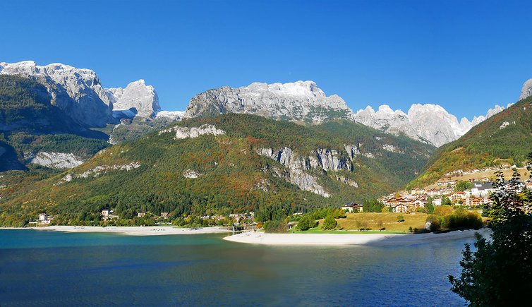
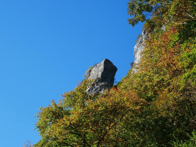
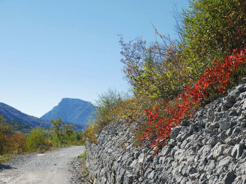
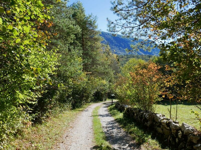
A walk around Lago di Molveno and to the Biotopo di Nembia is always a special experience but particularly fascinating in autumn when the forests are painted in a wide range of different colours
Image gallery: Autumn hike around Lake Molveno
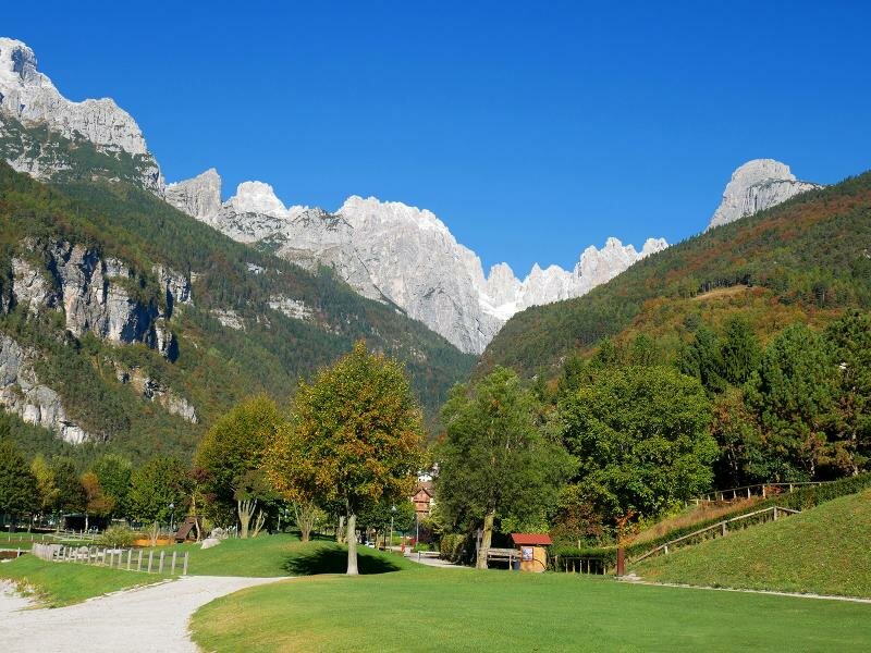
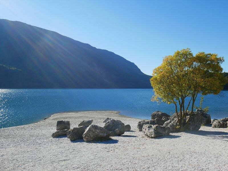
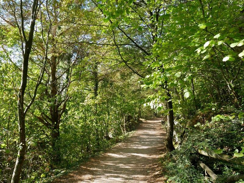
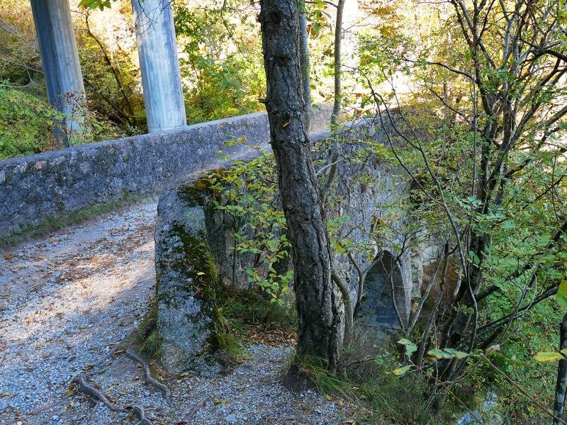

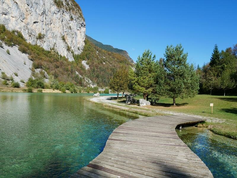
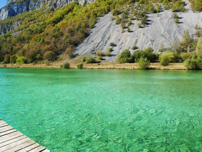
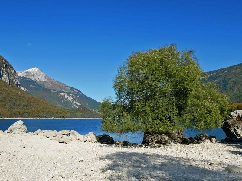
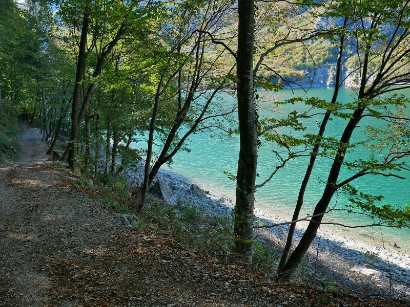
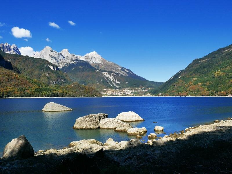
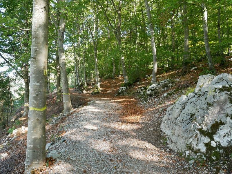
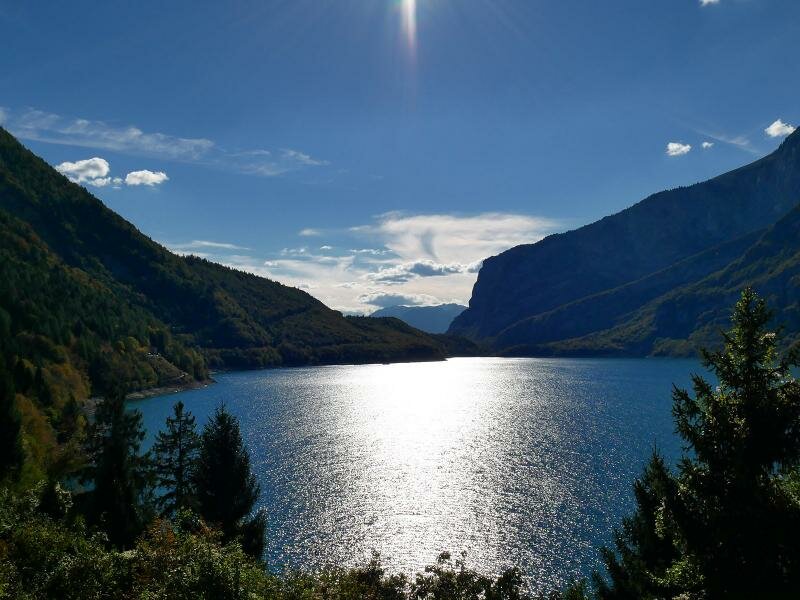
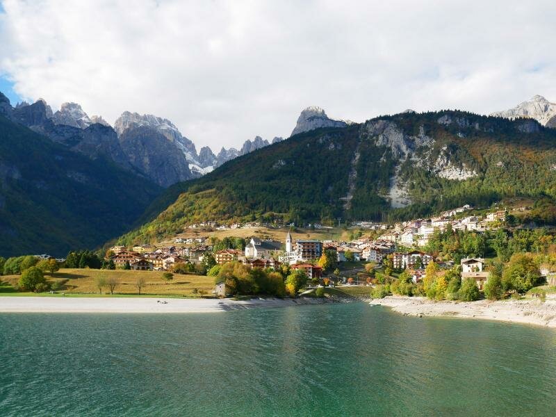
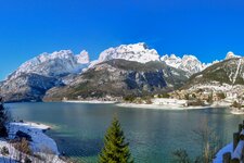
Our hike starts at the car park of the bridge at Lago di Bior (the northern branch of Lake Molveno), situated directly below the village of Molveno. We follow the promenade south-east of the lake to the beach of Molveno from where we enjoy a spectacular view of the lake with its crystal-clear and clean waters and to the already snow-covered Brenta Dolomites. The itinerary along the lake takes us to the forest and the waterfall near the Ponte Romano, an arch bridge dating back to the 13th century.
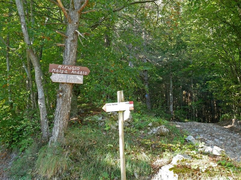
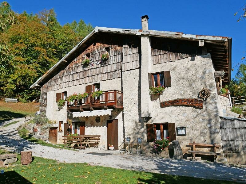
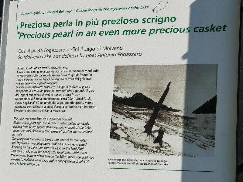
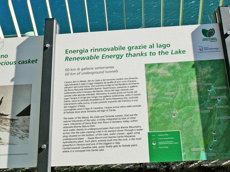
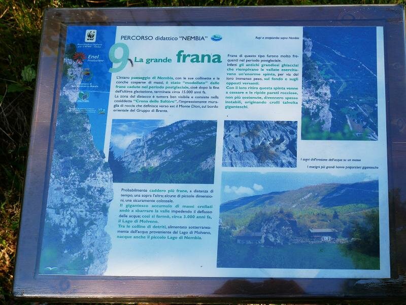
Baita ai Fortini di Napoleone is our next destination and also the highest point of our hike. We arrive at the mountain hut which offers a great panoramic view and leave the path around the lake for a short time before rejoining it. We proceed along the southern shore of Lago di Molveno where information panels tell about the history of the lake and the use of its waters for electric energy production. From here we follow the signposts towards Nembia. The theme path leads to the small and shallow Lago di Nembia and its nearby park, where we stop for a break.
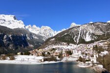
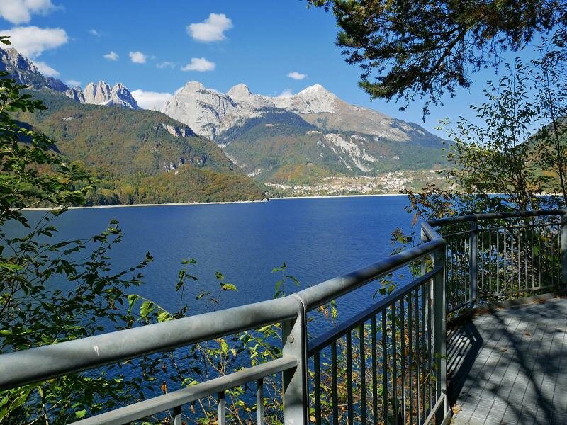
We return to the southern shore of Lago di Molveno and head towards the eastern shore where we enjoy the amazing view of the lake and its surroundings. Finally we return to Molveno, our starting point.
Author: AT
-
- Starting point:
- Molveno, Lago di Bior (parking space, bus stop)
-
- Overall time:
- 04:30 h
-
- Total route length:
- 14,1 km
-
- Altitude:
- from 796 m to 901 m
-
- Altitude difference (uphill | downhill):
- +246 m | -246 m
-
- Route:
- Molveno beach - Ponte Romano - Fortini di Napoleone hut - Nembia - Lake Nembia - Lake Molveno (eastern shore) - Molveno
-
- Recommended time of year:
- Jan Feb Mar Apr May Jun Jul Aug Sep Oct Nov Dec
-
- Download GPX track:
- Autumn hike around Lake Molveno
If you want to undertake this hike, we recommend you to check the weather and trail conditions in advance and on site before setting out.