This hike through the meadows and woods at the foot of the Brenta Dolomites leads us from Pinzolo to the Movlina Alp
Image gallery: Hike from Pra Rodont to the Movlina Meadows
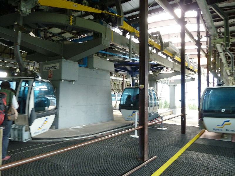
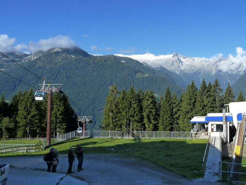
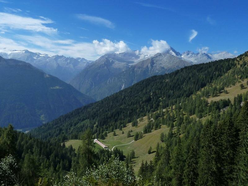
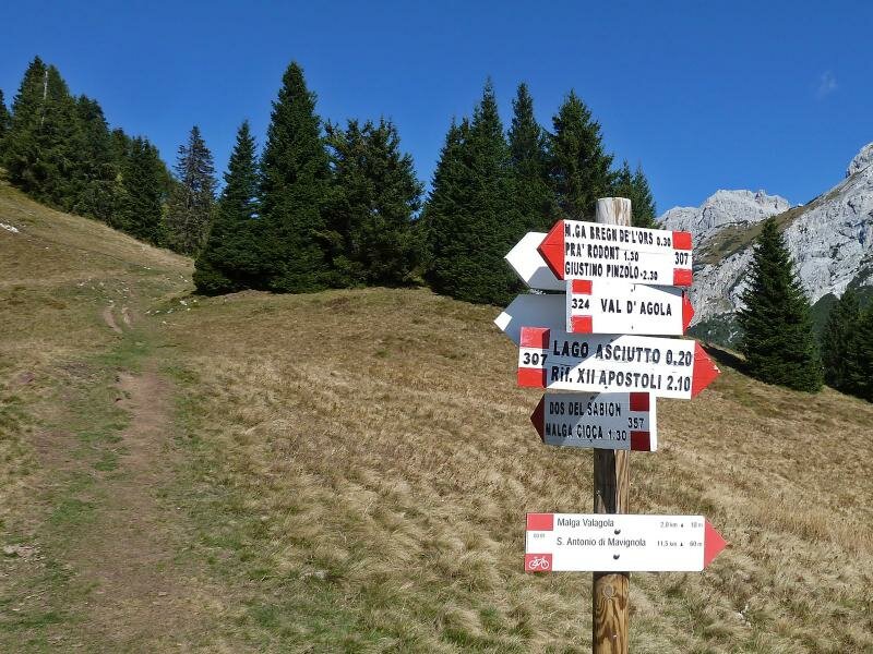
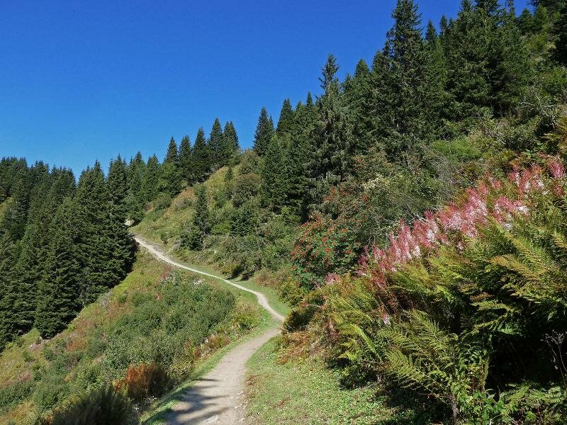
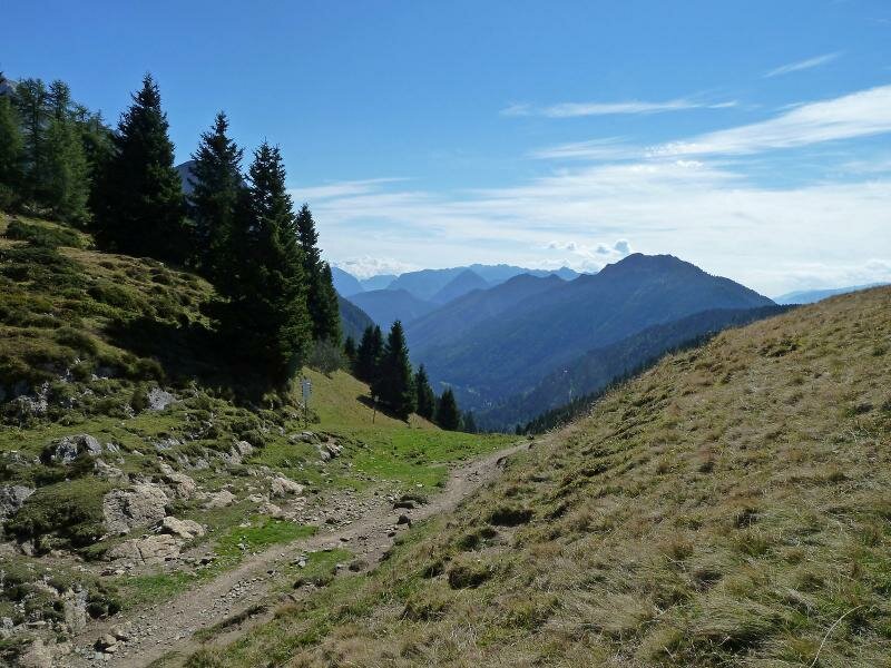
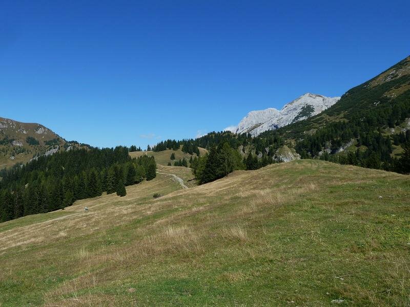
The cable car takes us from Pinzolo to Pra Rodont, the intermediate station of the cable car to the Doss del Sabion. We begin our hike at an altitude of 1,500 m a.s.l. and climb a slight ascent towards south east to Malga Bregn da l'Ors (1,830 m a.s.l.). Then, from a hill where the paths to the Valagola and Rifugio XII apostoli start, we take path no. 354.
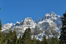
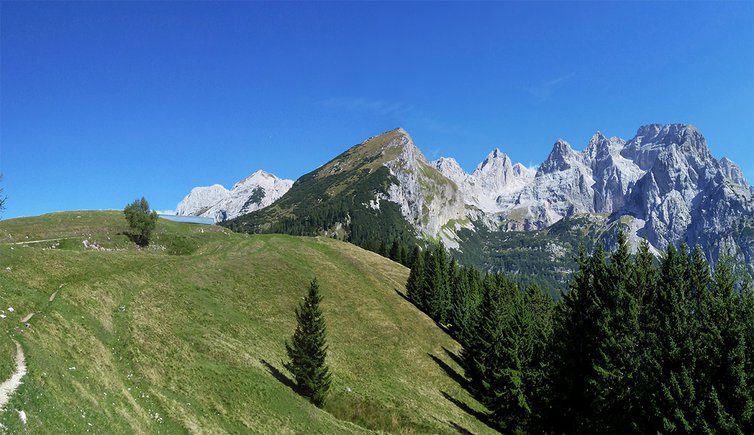
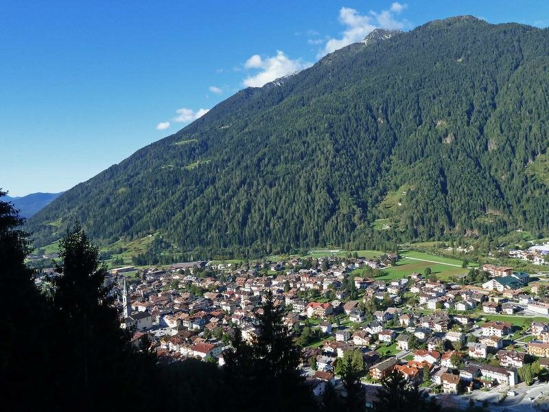
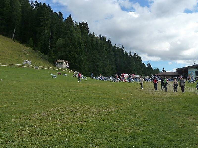
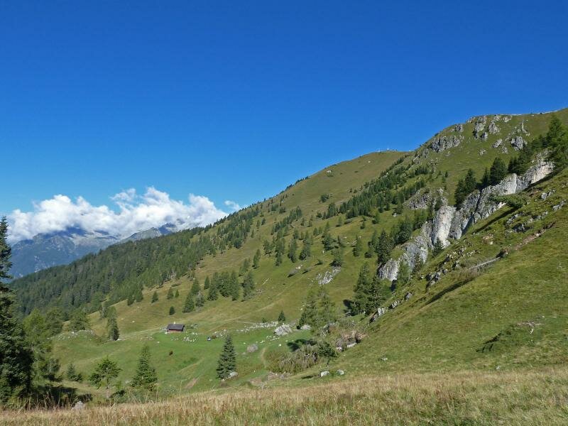
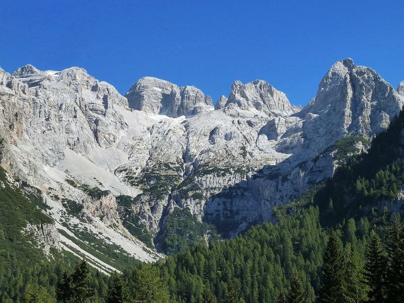
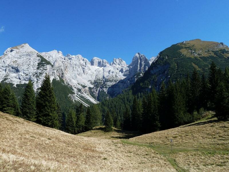
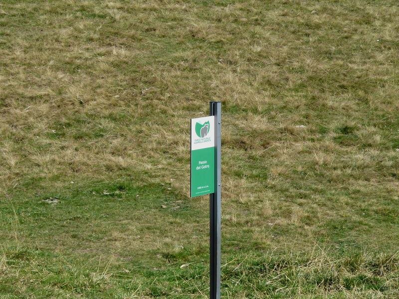
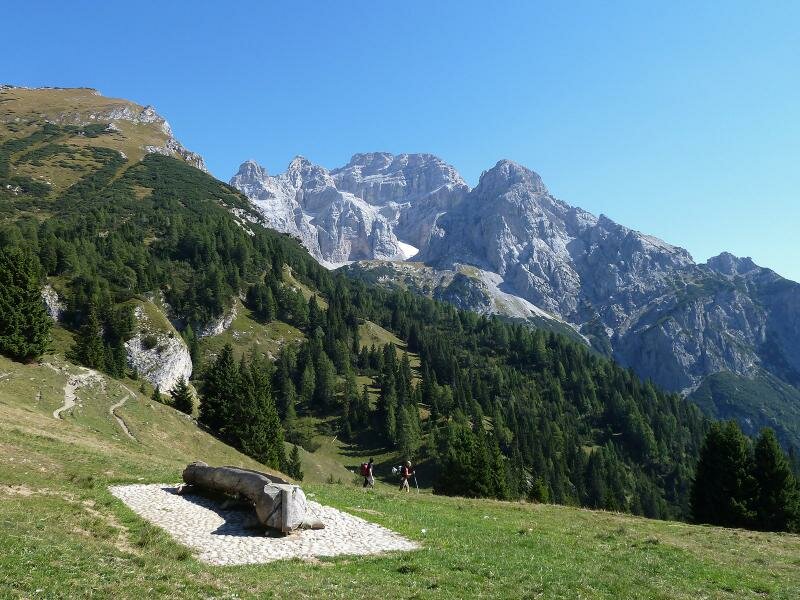
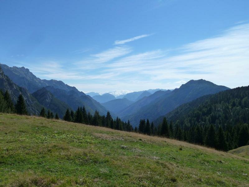
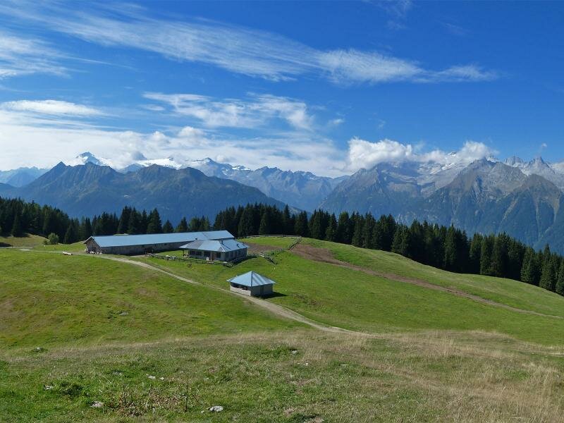
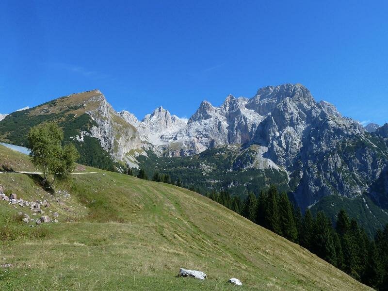
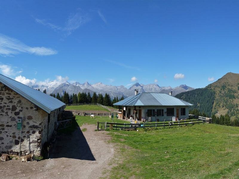
Ater a few minutes, we reach the Passo del Gotro (1,860 m a.s.l.) and after about 30 minutes of walking, we arrive at Malga Movlina, a mountain hut selling typical alpine products, but it is important to note there is no restaurant. The view extends from the Brenta Dolomites to the Val Agone, the Val Rendena and towards the Adamello and Presanella glaciers. The meadows above the malga are ideal for a picnic, and cheese can be bought directly at the malga.
Author: AT
-
- Starting point:
- Pra Rodont Cable Car (intermediate station between Pinzolo and Mt Doss del Sabion)
-
- Overall time:
- 03:55 h
-
- Total route length:
- 11,5 km
-
- Altitude:
- from 1.504 m to 1.851 m
-
- Altitude difference (uphill | downhill):
- +459 m | -459 m
-
- Route:
- Pra Rodont (1,500 m a.s.l.) - Bregn da l'Ors mountain hut (1,640 m a.s.l.) - Bregn de l'Ors mountain pass (1,830 m a.s.l.) - Passo del Gotro (1,860 a.s.l.) - Movlina mountain hut (1,800 a.s.l.)
-
- Signposts:
- 307, 354
-
- Destination:
- Malga Movlina
-
- Recommended time of year:
- Jan Feb Mar Apr May Jun Jul Aug Sep Oct Nov Dec
-
- Download GPX track:
- Hike from Pra Rodont to the Movlina Meadows
If you want to undertake this hike, we recommend you to check the weather and trail conditions in advance and on site before setting out.