Historically interesting hikes among the monuments of the Great War
Image gallery: Pasubio Group
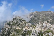
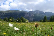
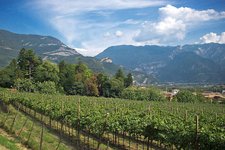
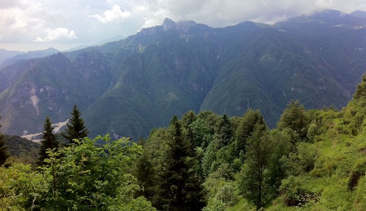
The Pasubio massif is reachable from Rovereto via the Vallarsa or the Val Terragnolo and extends between the Passo Pian delle Fugazze and the Passo della Borcola at the border between the provinces of Trento and Vicenza. Composed of sedimentary stones, calcareous rocks and dolostone, this group is part of the Prealpi Vicentine and joins the Piccole Dolomiti on the Altopiano di Folgaria. The highest peak of this mountain range is Cima Palòn, also known as vetta del Pasubio, with an altitude of 2,239 m a.s.l.
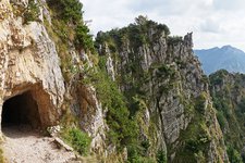
Situated at the front line of the First World War, the Pasubio massif was the scene of long and violent fights between the Italian and Austro-Hungarian troops. Today, numerous rests of this period, including the Strada delle 52 gallerie can be seen here. In 1922 the highest located area of this massif was declared a holy site due to the numerous soldiers who died here. The Ossario del Pasubio monument nearby the Passo Pian delle Fugazze in fact was built in their honour.
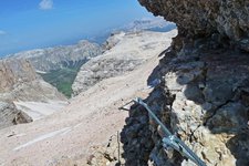
The Strada delle 52 gallerie, an Italian, 6,550 m long military path, of which 2,280 m through tunnels, connects Bocchetta Campiglia (1,219 m a.s.l.) near the passo Xomo and the porte del Passubio (1,934 m a.s.l. where the nearby rifugio Achille Papa del C.A.I. can be found). The Strada delle 52 gallerie is the most important and inventive war construction on the Pasubio massif. This scenic historic hiking itinerary (closed for mountain bikers and cyclists) leads to upper part of the massif while taking you past a spectacular and brilliant military construction.
The European long-distance path E5 from Lago di Costanza to Venice also crosses the Pasubio. In this area the European trail coincides with the Sentiero della Pace which retraces the frontline of the First World War between the provinces of Bolzano, Trento, Vicenza and Belluno.
- Highest peak: Cima Palòn (2,236 m a.s.l.)
- Major peaks: Roite (2,144 m a.s.l.), Col Santo (2,112 m a.s.l.)