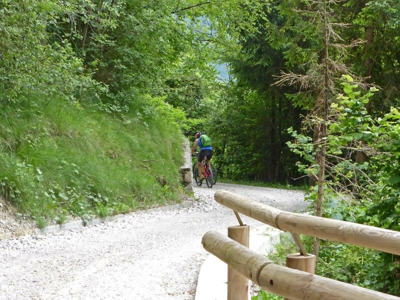
The “Dolomiti di Brenta Country” Route bypasses the difficult sections of the “Expert” route by using cycle paths in the valleys. This makes it a suitable tour for less ambitious cyclists and families, thanks to its smaller elevation gain. However, with an overall length of 150 km, it still is a remarkable challenge
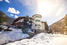
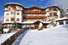
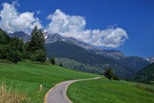
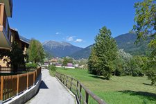
Image gallery: Dolomiti di Brenta Bike Country
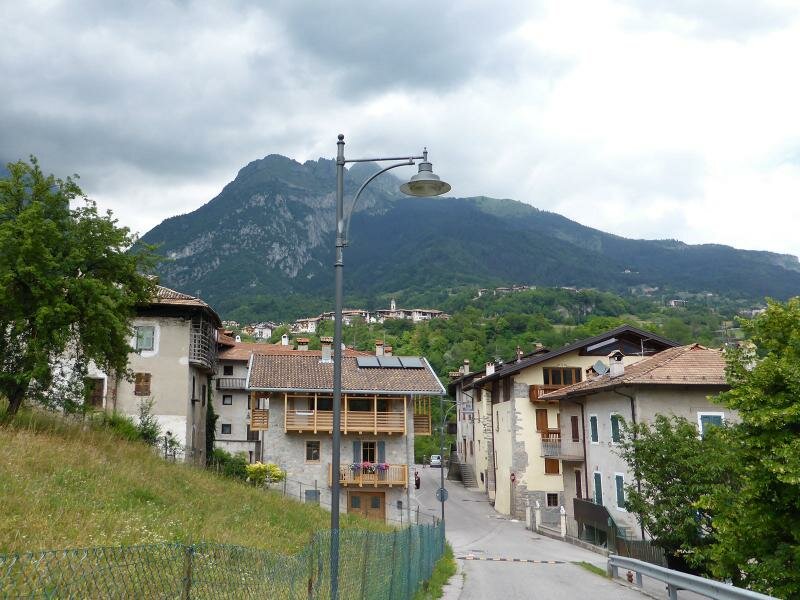
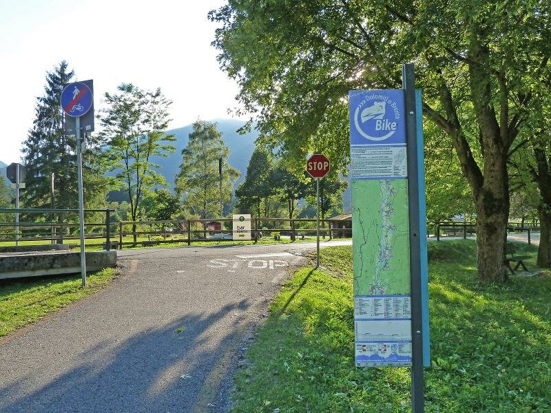
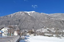
Starting in Dimaro, the route follows the cycle path in the Val di Sole to the ponte di Mostizzolo (a bridge). From there, we can either take the train to Cles or cycle along the main road to the village. Depending on the time of the day, this road can be very busy.
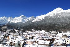
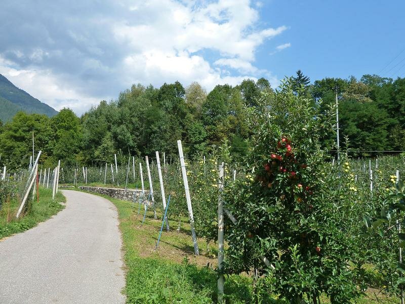
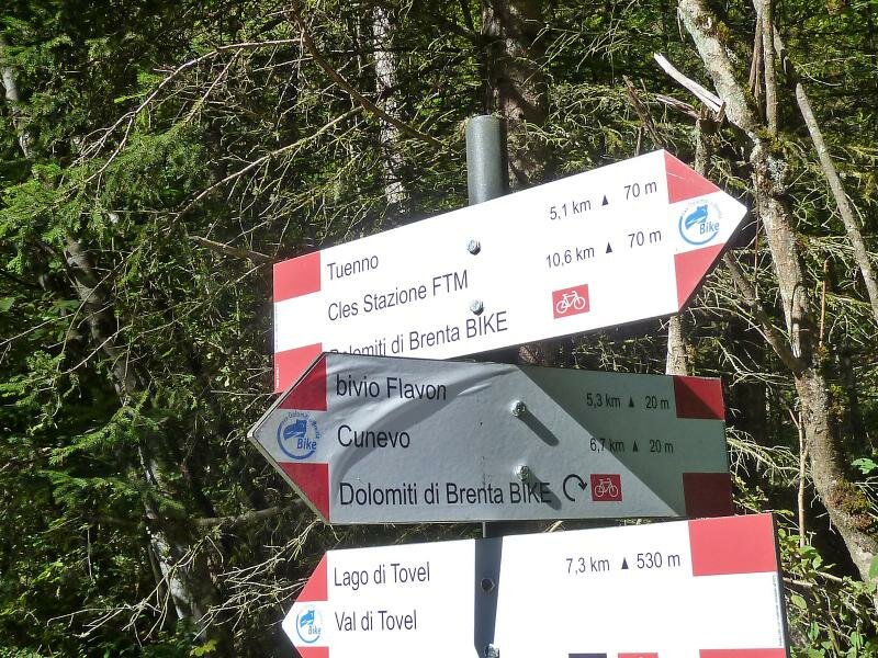
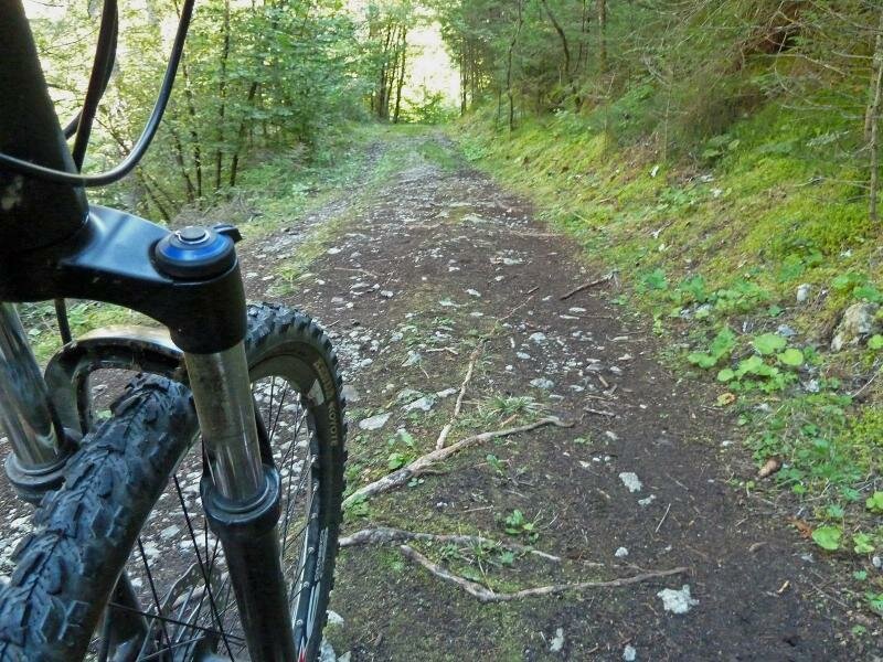
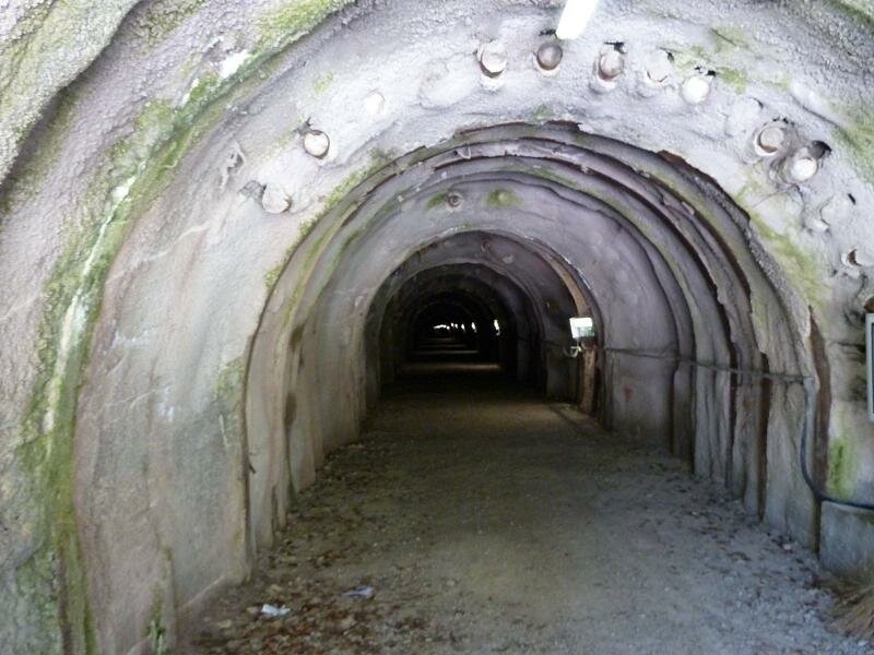
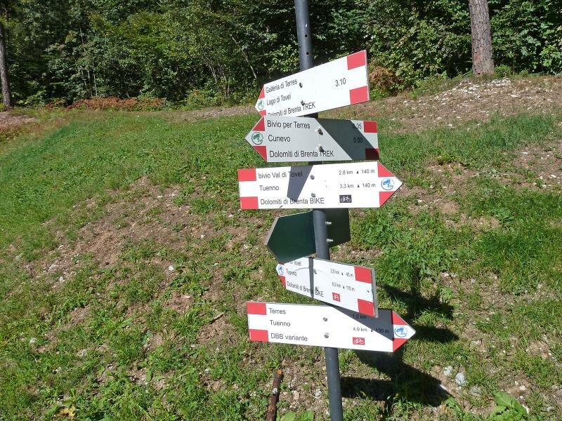
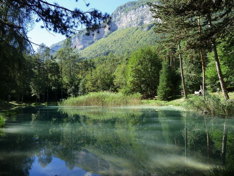
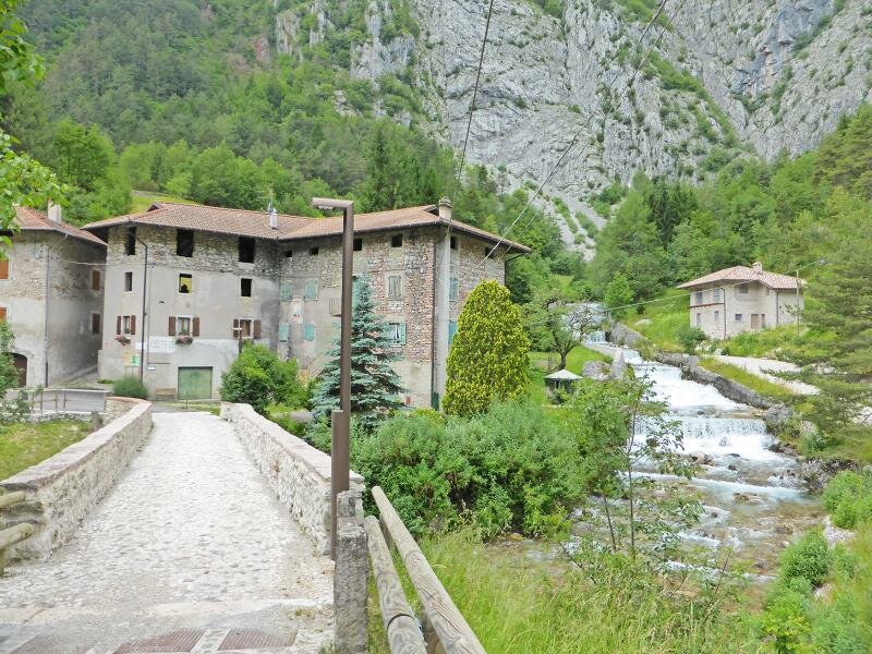
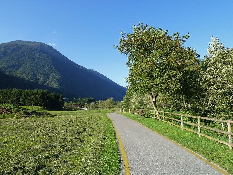
From Cles onwards, the tour becomes easier. We cycle via Tuenno into the Val di Tovel, then along a special section where the path proceeds through a 2 km-long tunnel back into the Val di Non. We continue our trip through fruit orchards and woods to Maurina and then climb into the Valle dello Sporeggio towards Andalo.
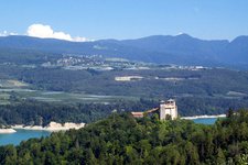
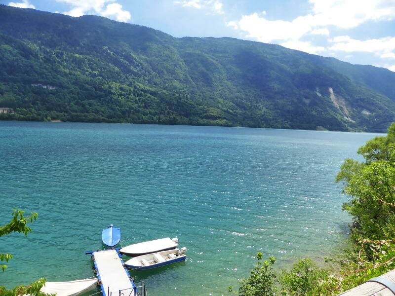
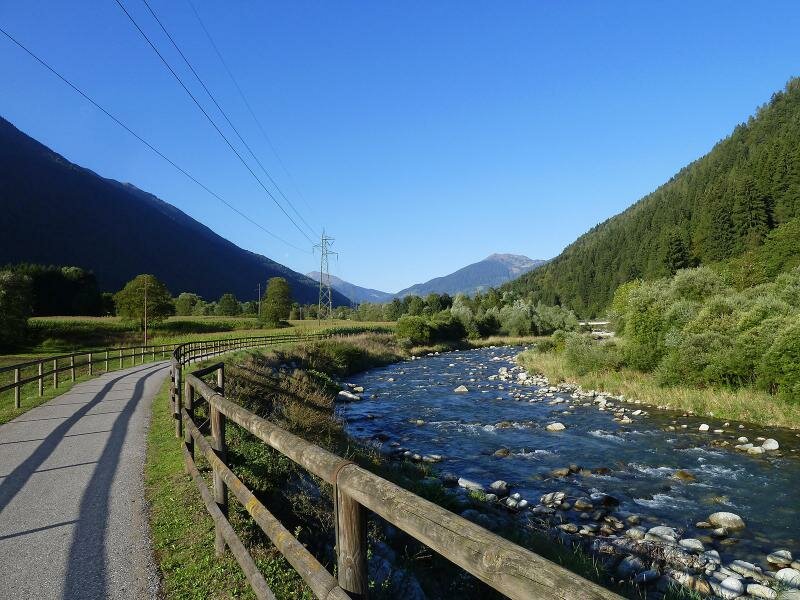
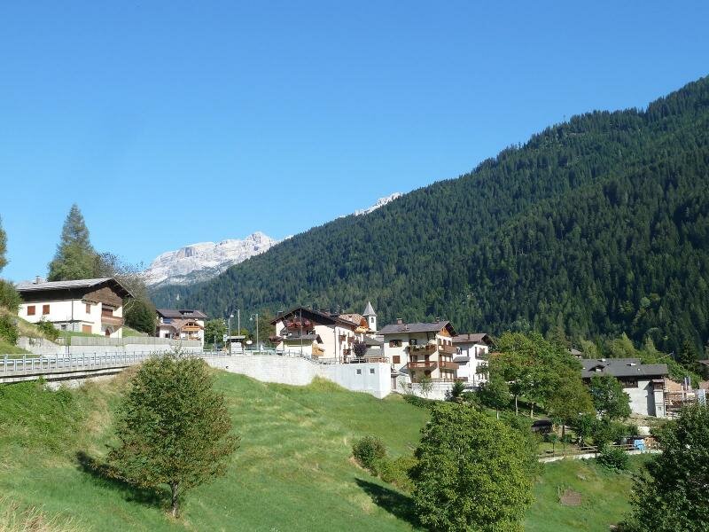
We head towards Lake Molveno and, via Stenico, to Lago di Ponte Pià, where we follow the cycle path to Tione and further through the Val Rendena. From Pinzolo, the ascent via St. Antonio di Mavignola to Madonna di Campiglio and Passo di Campo Carlo Magno begins. Next, we ride along the forest road through the Val Meledrio and descend back to Dimaro. The route covers a total distance of 136 km and a difference in altitude of 4,600 m. We recommend splitting the “Country” Route into three or four daily stages, to fully enjoy nature and the landscape of this area.
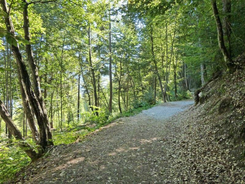
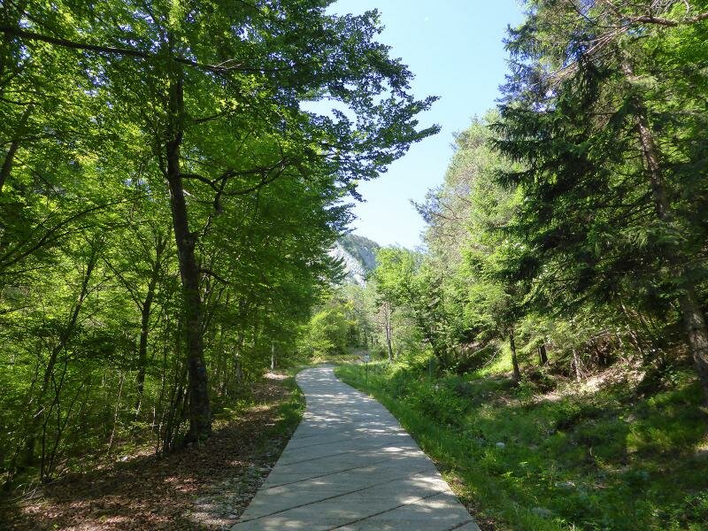
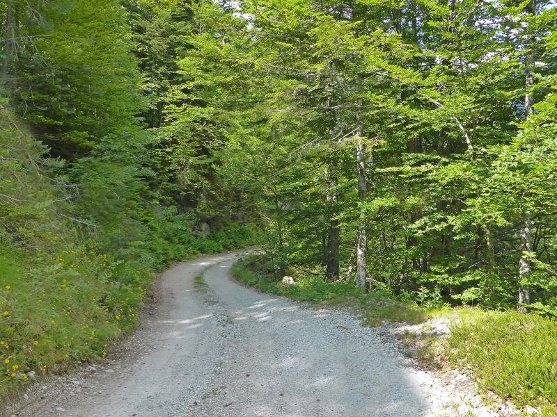
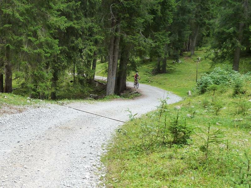
- Overall length: 136 km, of which 51 km of gravel roads, 32 km of cycle paths and 53 km of asphalt roads with traffic)
- Altitude difference: 4,600 m
- Lowest point: 520 m (Spormaggiore)
- Highest point: 1,630 m (Passo di Campo Carlo Magno)