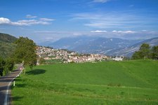
The Sentiero della Pace (Peace Path) leads across the frontline of the Great War. One of the most beautiful stages of this path runs around the mountains of Polsa in the Monte Baldo Group
Image gallery: Hike on the Sentiero della Pace in Brentonico
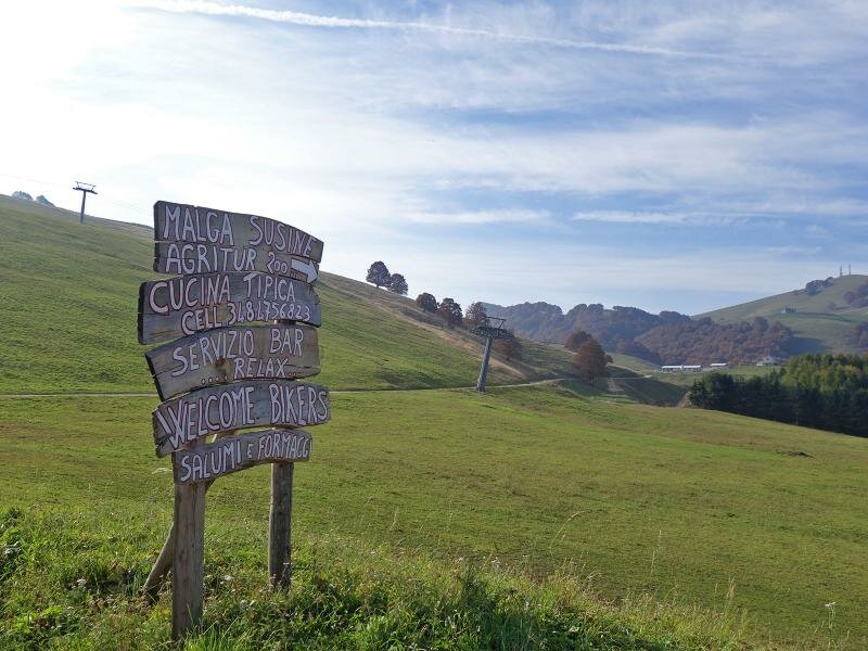
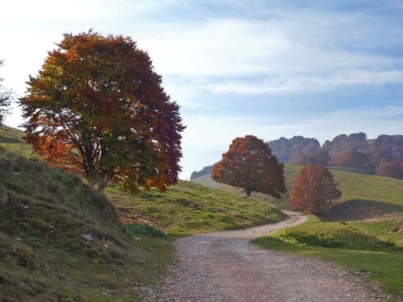
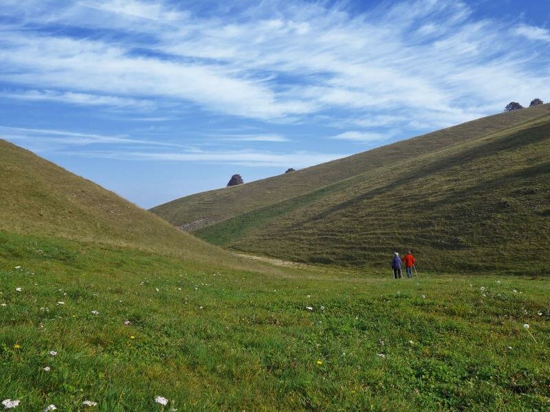
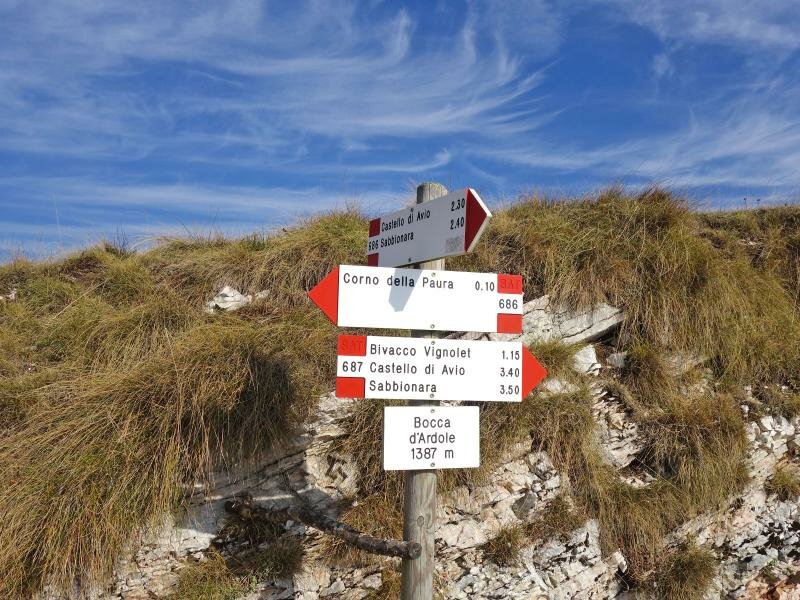
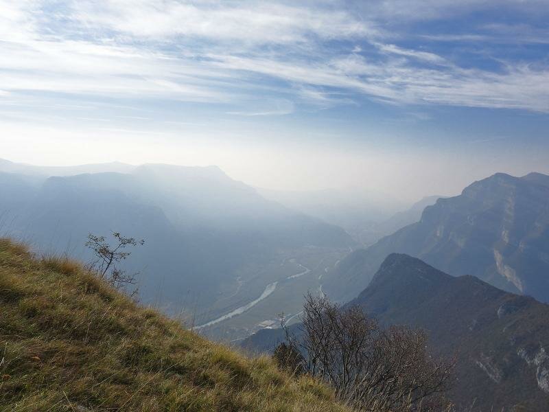
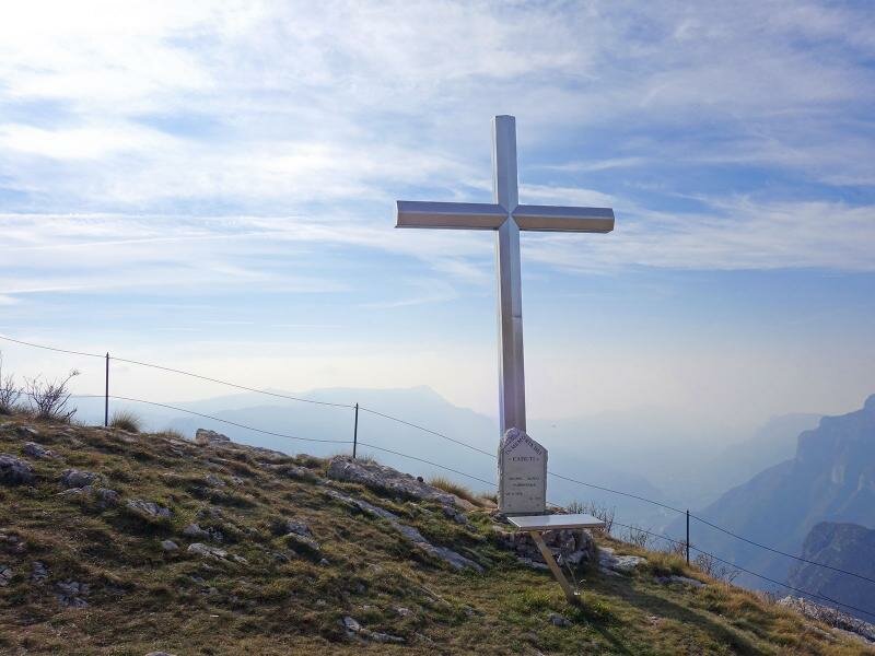
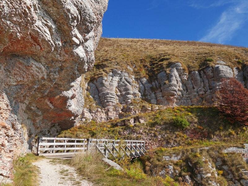
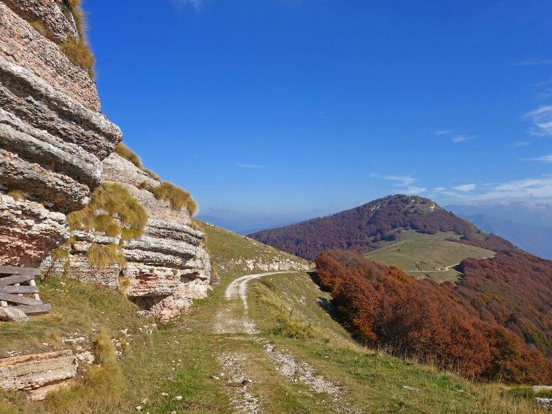
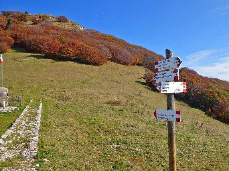
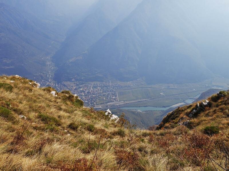
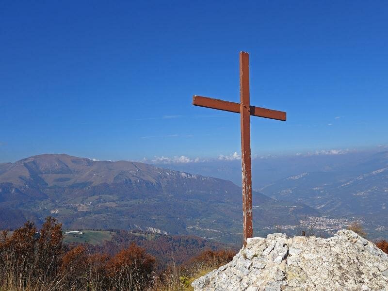
Our hike begins at the Camping Polsa. From there, we walk along an unpaved road towards Malga Le Susine and then on to Bocca d'Ardole. Here, we take the Sentiero della Pace (Peace Path). We continue towards Mt Vignola, following the Montagnola ridge. We then branch off to the hill with the Croce degli Alpini, a cross built in memory of the fallen soldiers. Below us lies Vallagarina, with Sabbionara d'Avio.
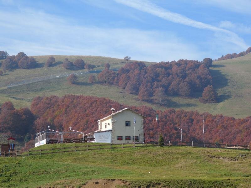
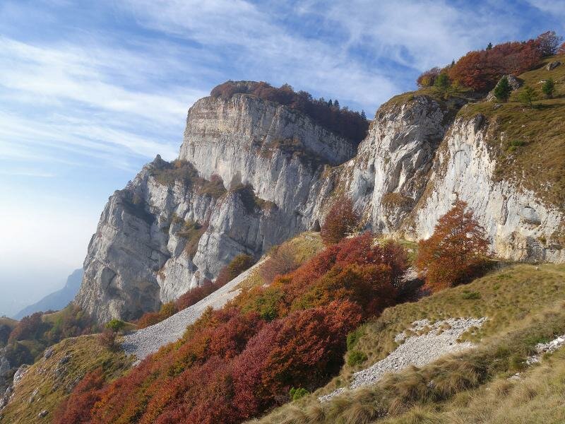
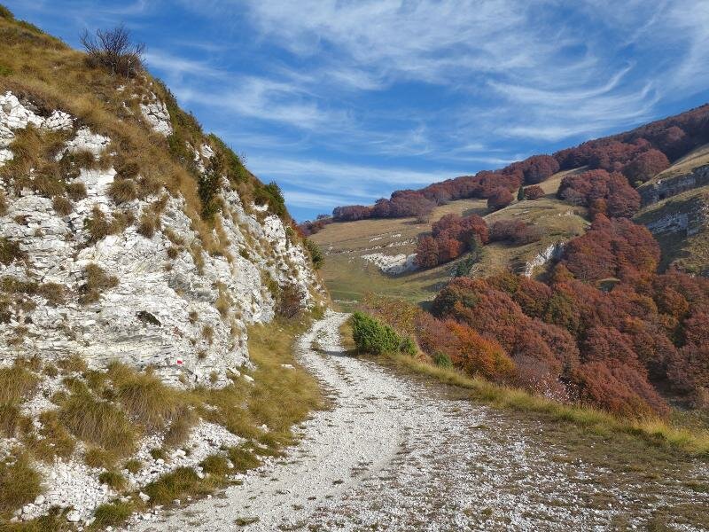
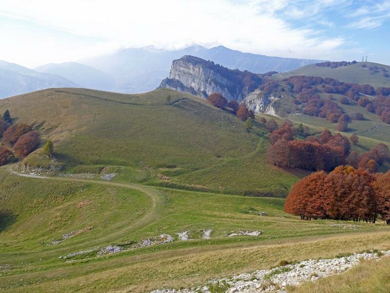
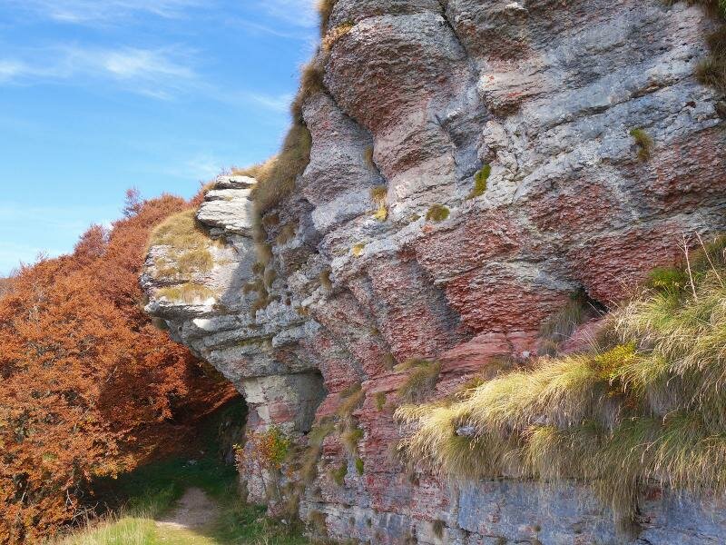
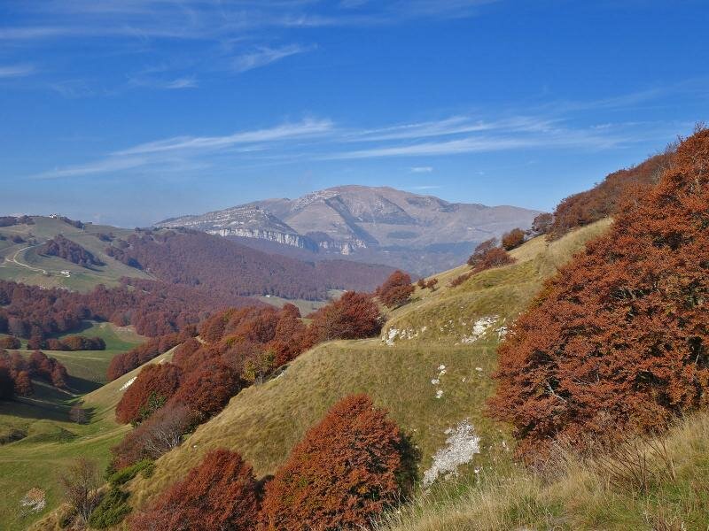
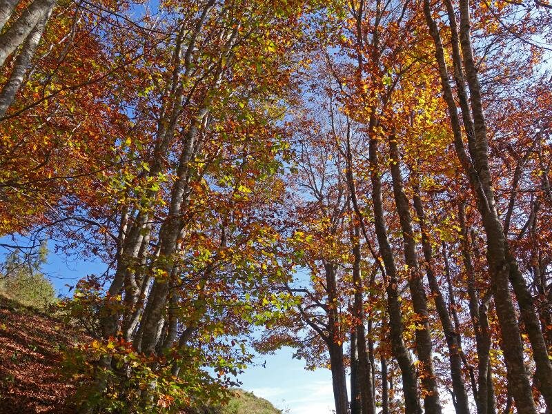
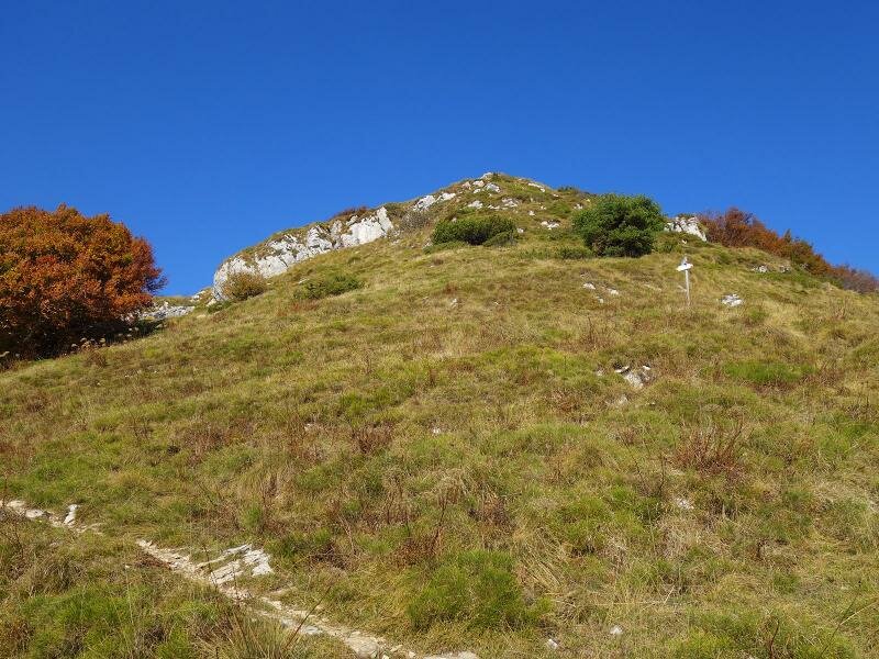
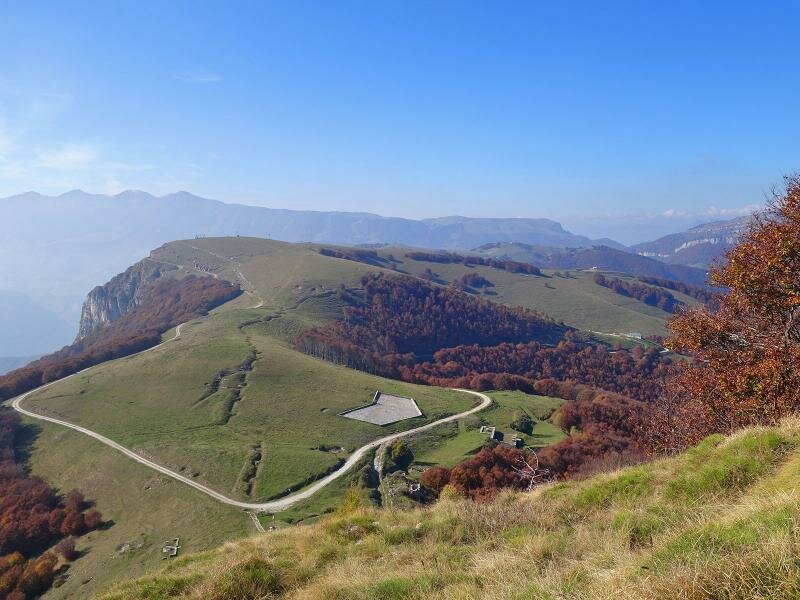
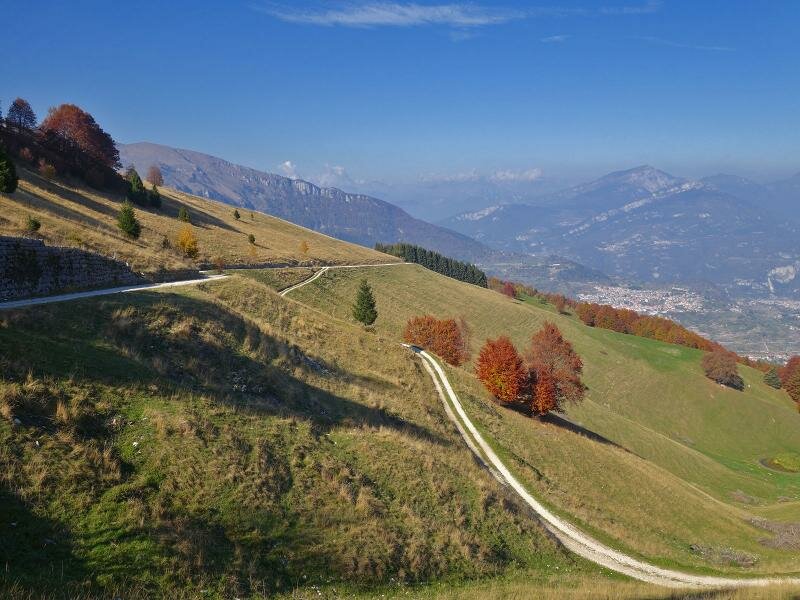
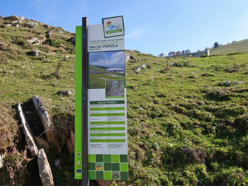
We return to the Sentiero della Pace and proceed towards Mt Vignola. A short climb leads us to the summit where we find the huge water reservoirs built by the Austro-Hungarian soldiers and the remains of the anti-aircraft batteries. From here, you can enjoy an amazing panoramic view of the surrounding landscape, characterised by meadows and coloured beech forests. We conclude our circular hike on the Sentiero della Pace, walking past Malga Vignola and returning to Camping Polsa.
Author: AT
-
- Starting point:
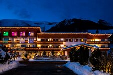
- Camping Polsa (1,300 m a.s.l.)
-
- Overall time:
- 03:05 h
-
- Total route length:
- 9,8 km
-
- Altitude:
- from 1.291 m to 1.576 m
-
- Altitude difference (uphill | downhill):
- +509 m | -509 m
-
- Route:
- Camping Polsa – Malga Susine – Bocchetta d'Ardole – Alpini-Cross – Monte Vignola – Malga Vignola – Camping Polsa
-
- Signposts:
- Sentiero della Pace (Peace Path), F18
-
- Resting points:
- Malga Susine, Bar Ristorante Pizzeria Camping Polsa
-
- Recommended time of year:
- Jan Feb Mar Apr May Jun Jul Aug Sep Oct Nov Dec
-
- Download GPX track:
- Hike on the Sentiero della Pace in Brentonico
If you want to undertake this hike, we recommend you to check the weather and trail conditions in advance and on site before setting out.