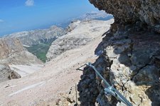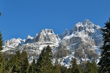
With an altitude of 3,173 m a.s.l., Cima Tosa is the highest peak of the Brenta Dolomites
Image gallery: Cima Tosa
Situated in the centre of the Brenta Dolomites mountain range, the Cima Tosa rises between the Val Brenta in the north, the Val d'Ambiez in the south and the Pozza Tramontana in the east. If you look at the western and northern rock walls from the bottom of the mountain, you would never imagine that they can be conquered even by amateur climbers.
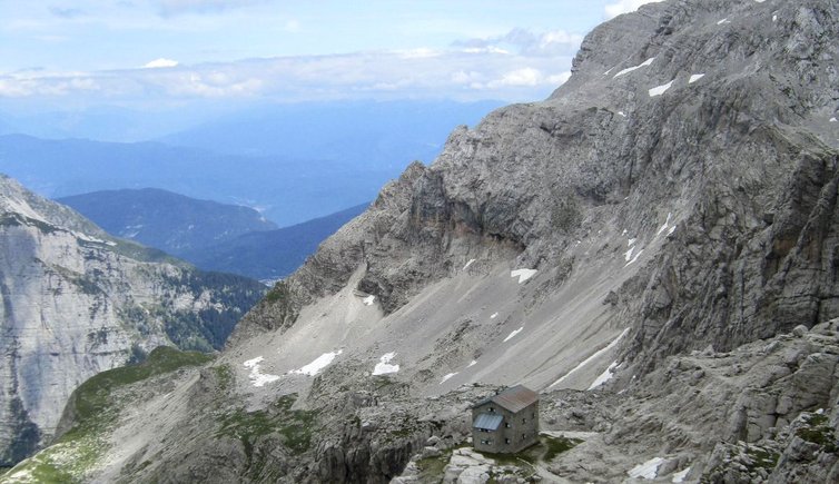
The Via Normale, also known as Via del Camino, starts on the south-eastern side and runs uphill on rocky steps and even a short climbing section. The higher you climb, the easier and less steep the path. At the summit hikers are delighted by a stunning all-round view stretching from Lake Garda to the Dolomites, the Presanella, to the Alti Tauri and the Brenta Group. The itineraries Via Migotti, Via Normale della Val d'Ambiez and the canalone della Tosa or Canalone Neri are also much frequented. The icy canalone della Tosa is popular especially among ice climbers and new itineraries have recently been marked on the other sides of the mountain group too, especially on its northern and western faces.
The first ascent to Cima Tosa was undertaken on the 20th July 1865 by Giuseppe Loss di Primiero and his six fellow hikers, whereas the first ascent to Torre Gilberti dates back to 1962 and was done by Georges Livanos, Marc Vaucher and Roger Lepage.