The Corno di Tres is a 1,812 m high peak on the Mendola ridge separating the altopiano di Predaia in the Val di Non from the Val d’Adige. We undertake this easy hike to explore the area
Image gallery: Hike to Monte Corno di Tres
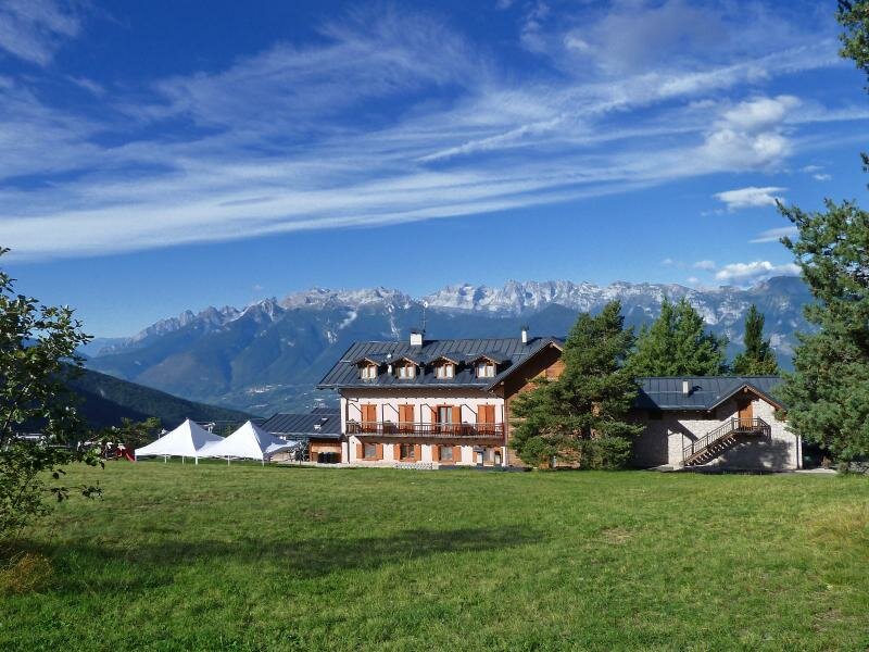
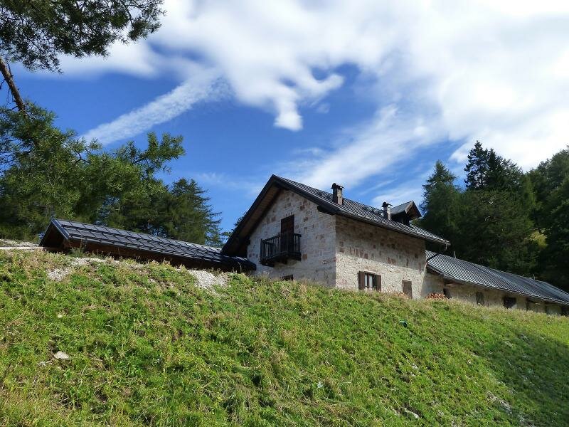
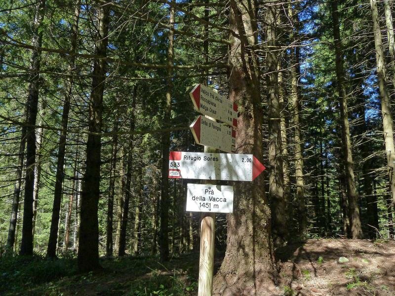
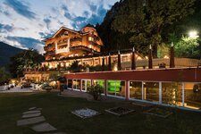
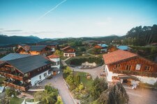
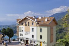
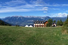
The starting point of our hike is reachable by driving along the road to the altopiano di Predaia (Sette Larici). At the Rifugio Sores we detour to Rifugio Predaia ai Todes'ci - a narrow asphalt road which takes us to a mountain hut complete with car park at 1,400 m a.s.l. in a few minutes.
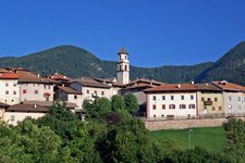
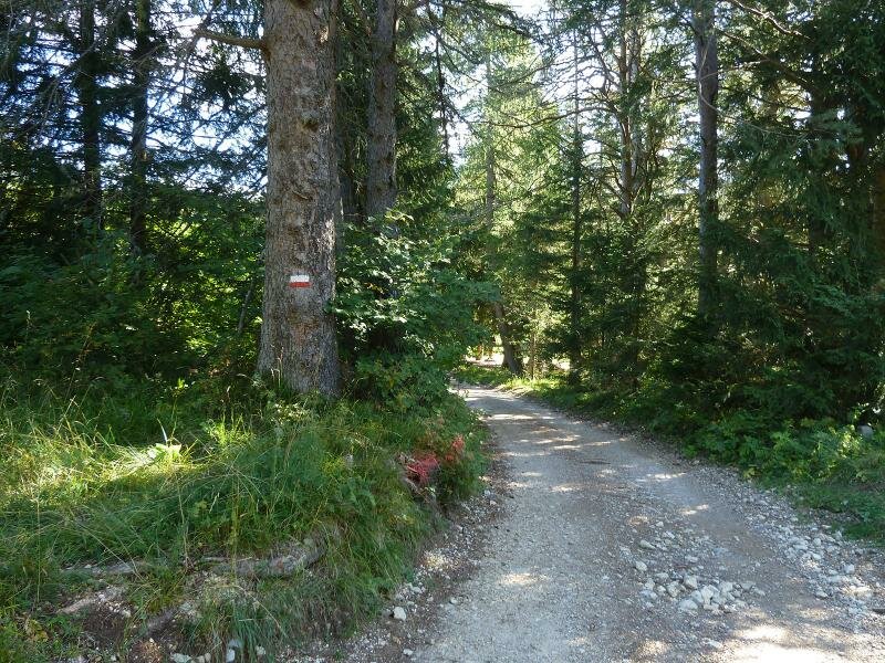
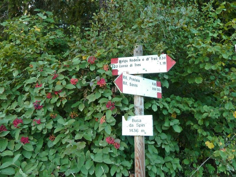
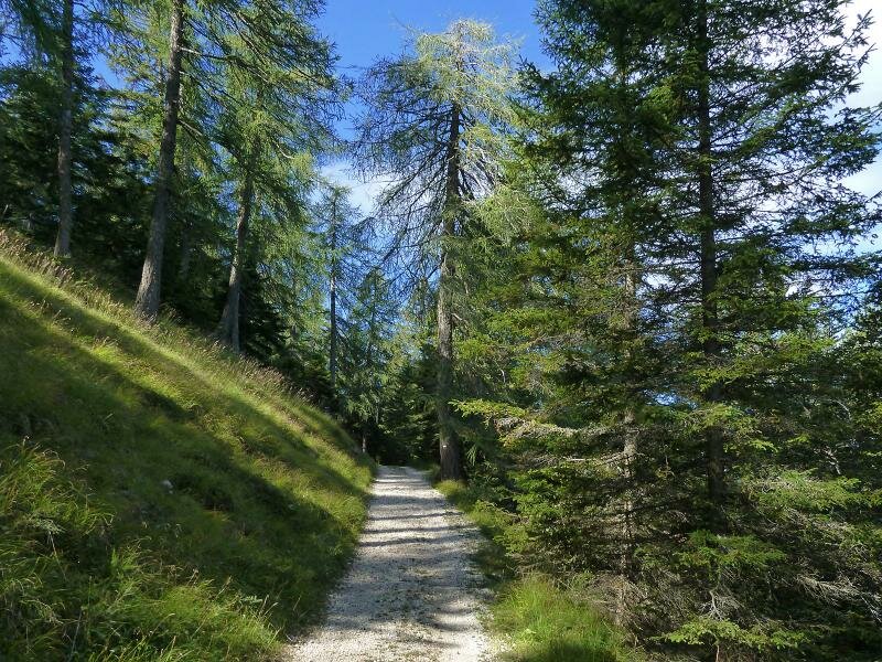
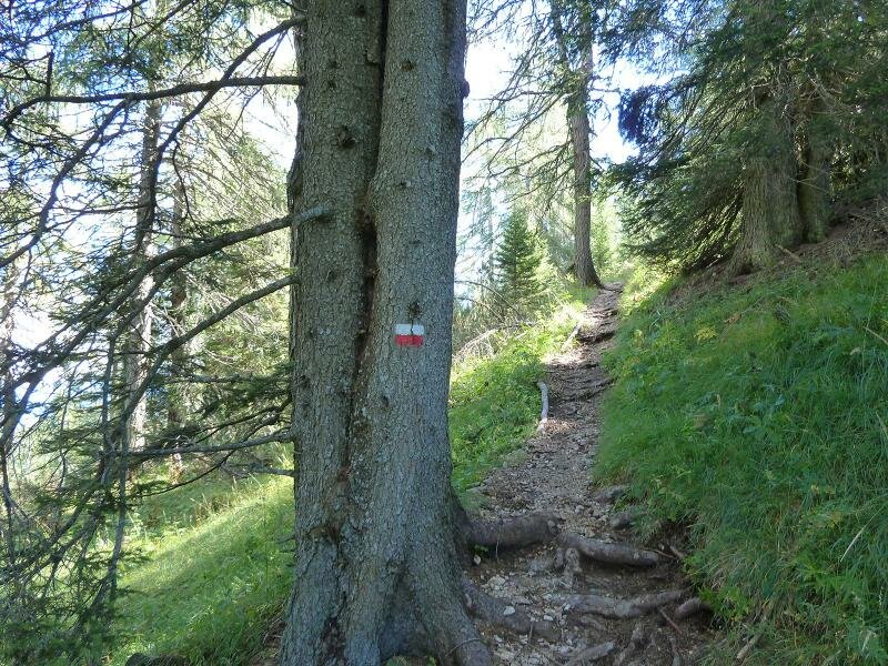
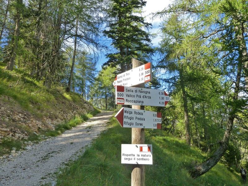
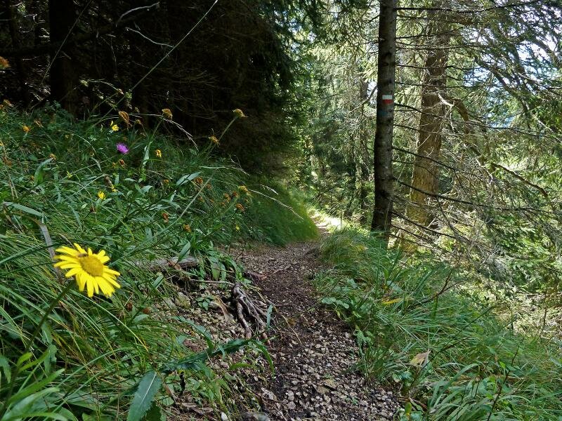
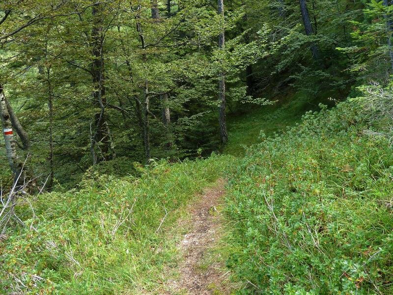
We begin our hike by following the forest path no. 503 to the meadows of "Bus del Spin" and continue to Malga Rodeza (also known as Malga di Tres), a refreshment point at 1,570 m a.s.l.
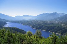
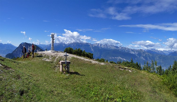
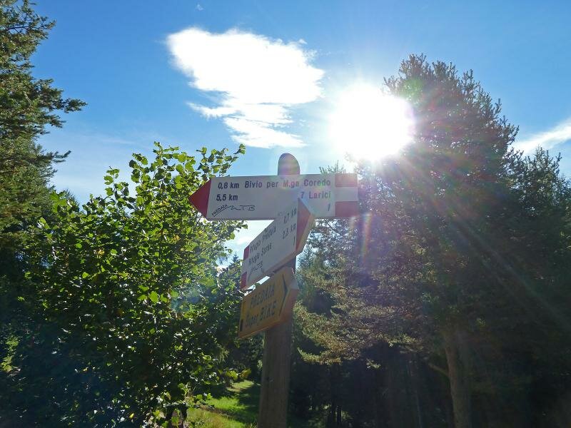
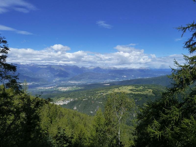
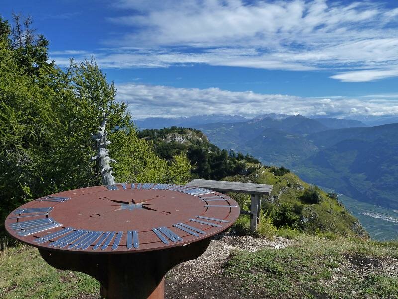
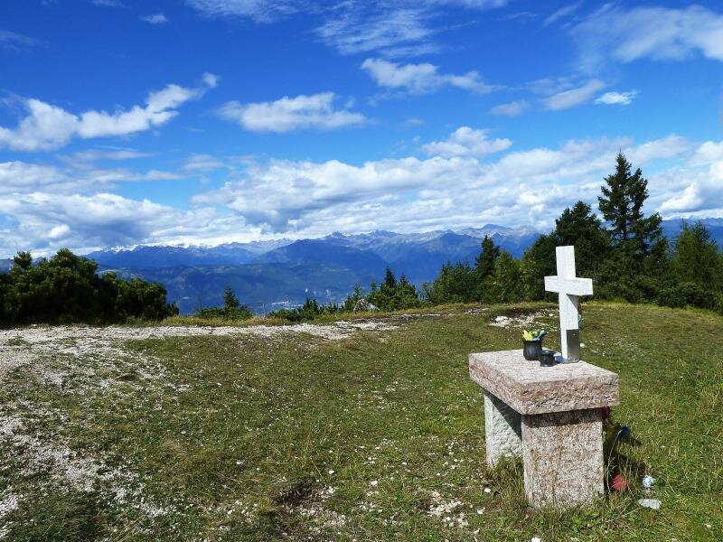
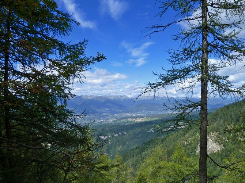
We continue on path no. 503 towards Sella di Favogna. The path to the Corno di Tres is marked at the crossroads and after walking uphill along a short slope for 15 minutes, we have a fantastic view spanning from the Catinaccio to the Brenta Dolomites and from the Alpine divide to the Cevedale glaciers.
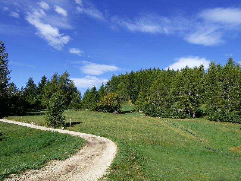
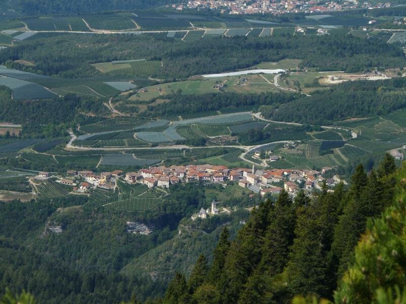
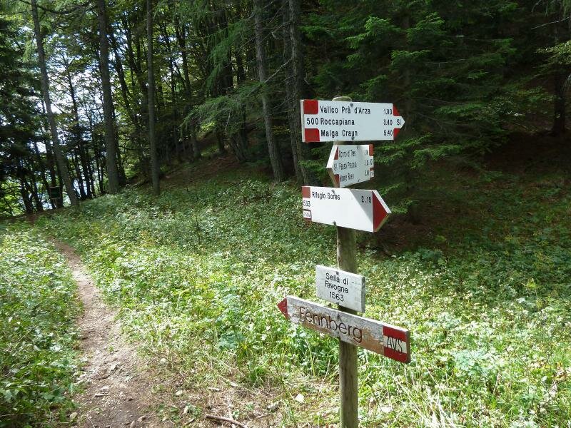
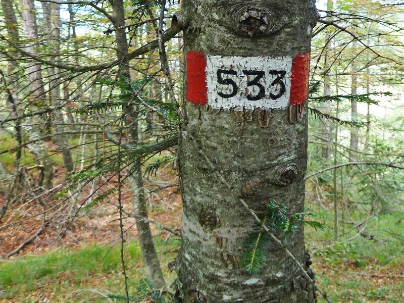
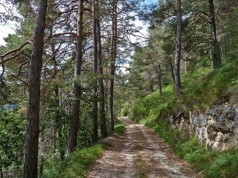
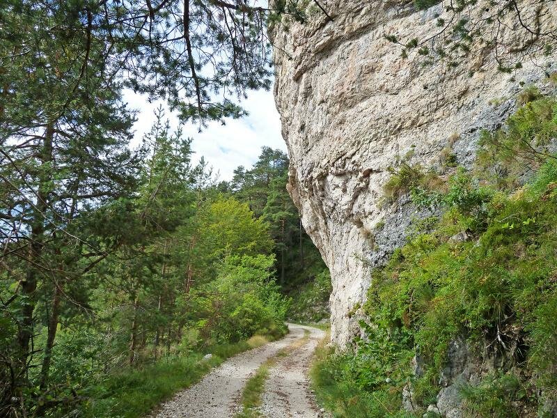
Instead of returning along the same path, we take the path to the Sella di Favogna towards south at the crossroads and from there we descend along forest path no. 533 which takes us directly back to our starting point at rifugio Predaia, where we admire a unique landscape characterised by calcareous rocks.
Author: AT
-
- Starting point:
- Rif. Predaia mountain hut
-
- Overall time:
- 04:50 h
-
- Total route length:
- 13,2 km
-
- Altitude:
- from 1.299 m to 1.806 m
-
- Altitude difference:
- +594 m | -594 m
-
- Route:
- Rif. Rodeza mountain hut (no. 503) - Mt Corno di Tres - Sella di Favogna ridge (no. 500) - back on path no. 533 towards the Rif. Sores mountain hut (up to the Predaia mountain hut)
-
- Destination:
- Corno di Tres
-
- Resting points:
- Malga Rodeza o di Tres
-
- Recommended time of year:
- Jan Feb Mar Apr May Jun Jul Aug Sep Oct Nov Dec
-
- Download GPX track:
- Hike to Monte Corno di Tres
If you want to do this hike, we suggest you to check the weather and trail conditions in advance and on site before setting out.