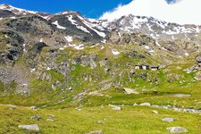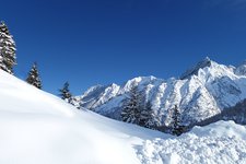
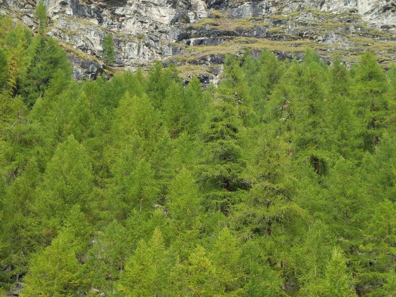
The Val di Rabbi in the Stelvio National Park is a natural paradise with larch forests and alpine meadows. Today’s hike takes us to the famous Cascate di Saènt
Image gallery: Hike to the Saènt Waterfalls in the Val di Rabbi
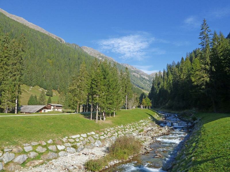
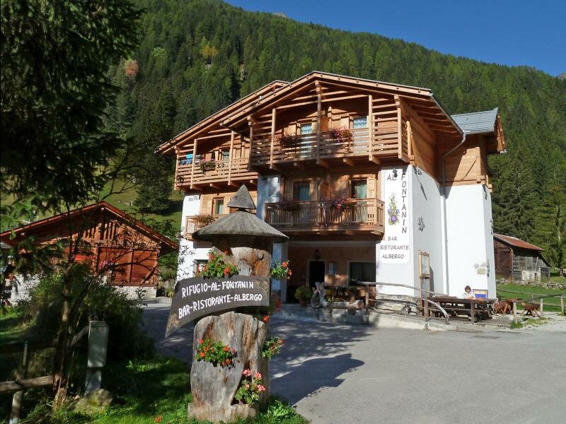
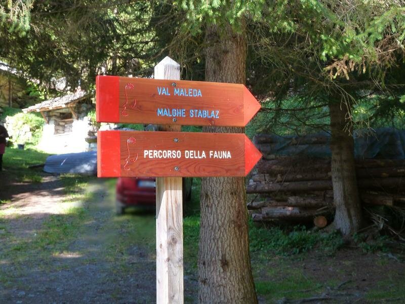
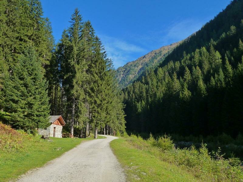
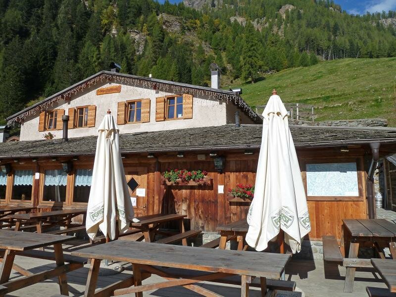
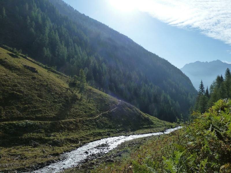
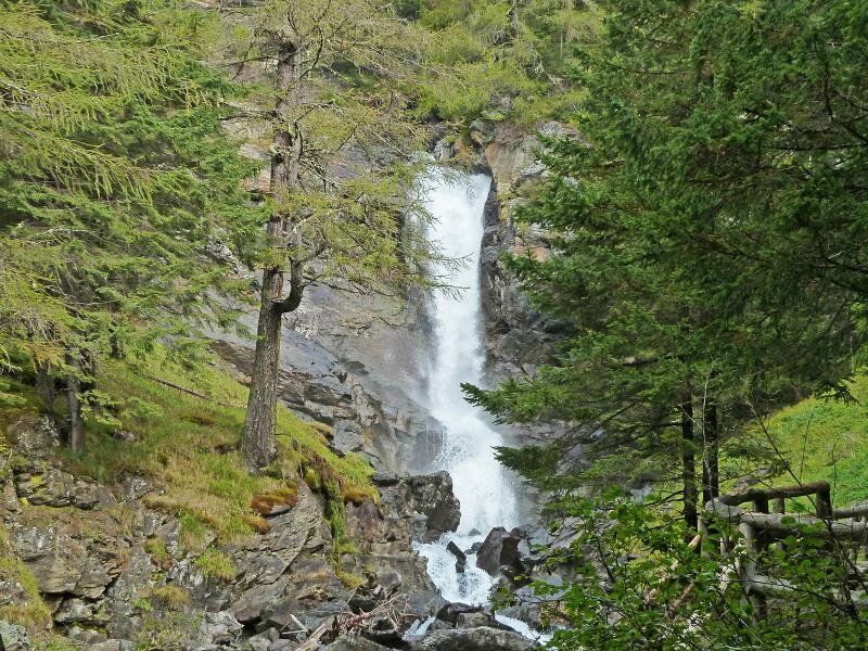
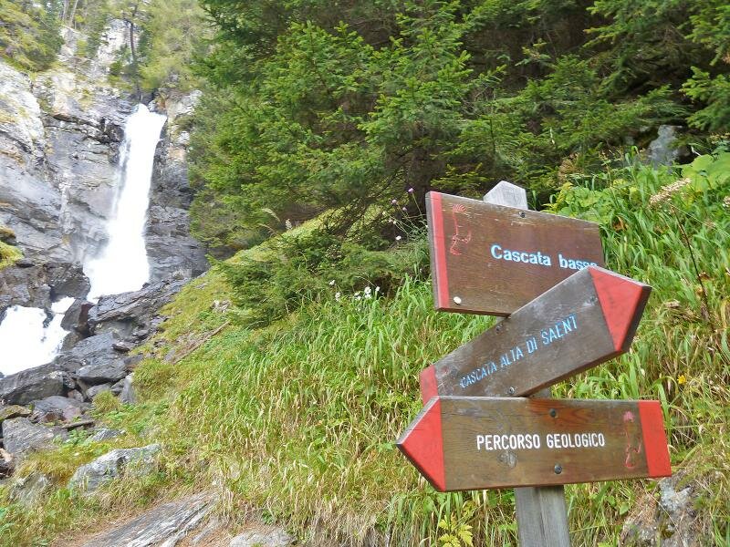
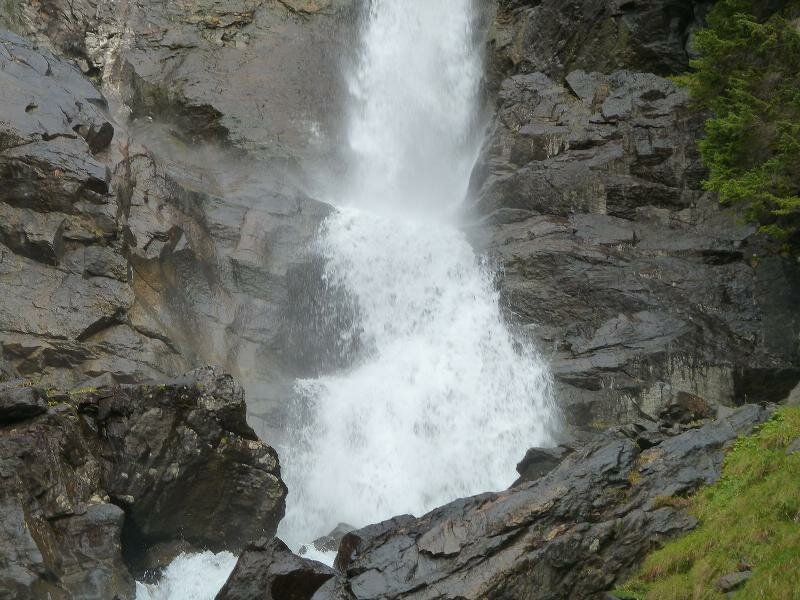
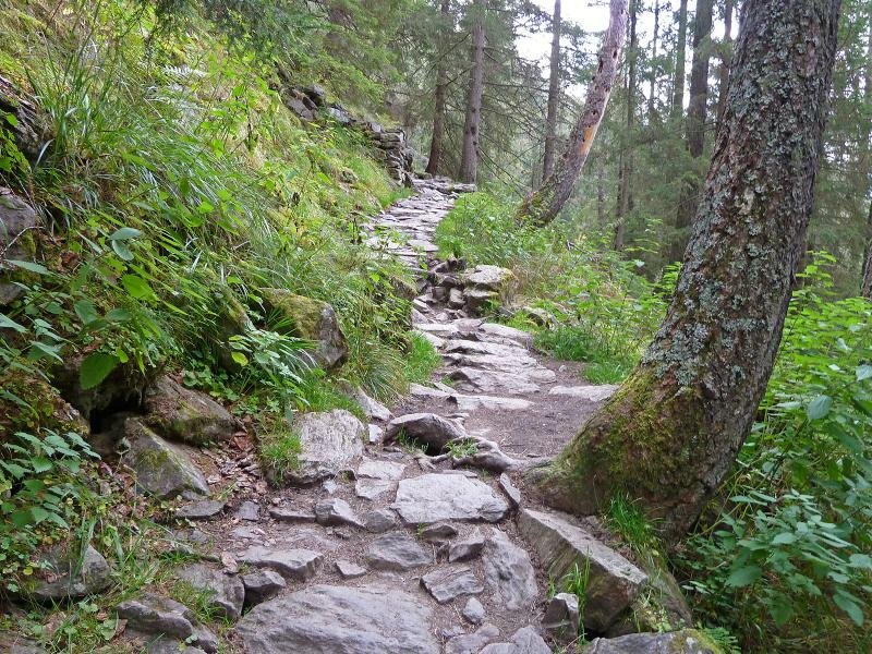
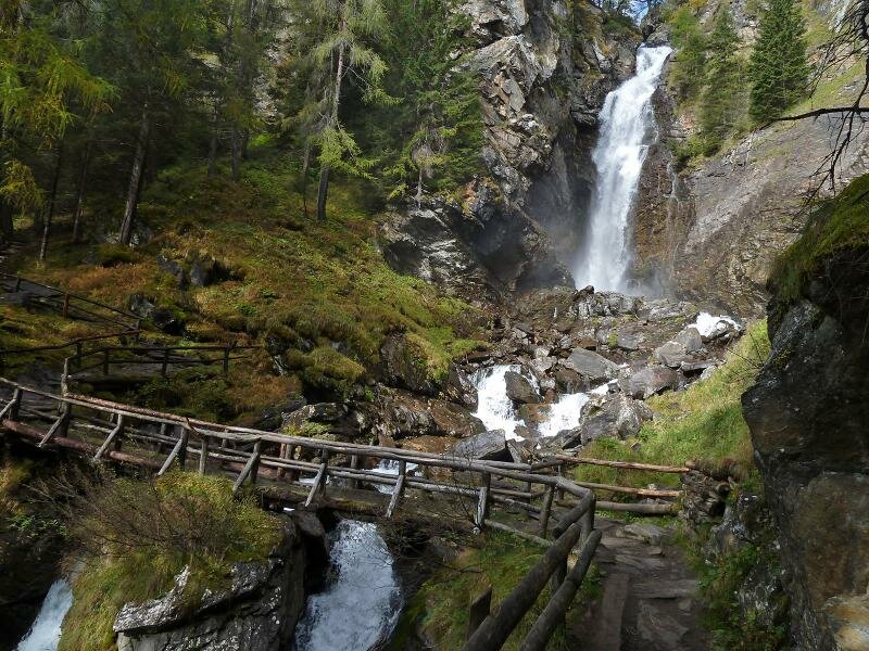
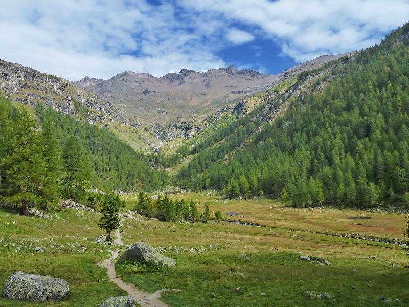
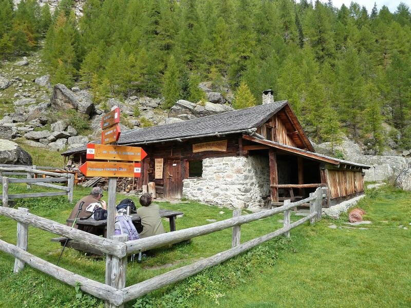
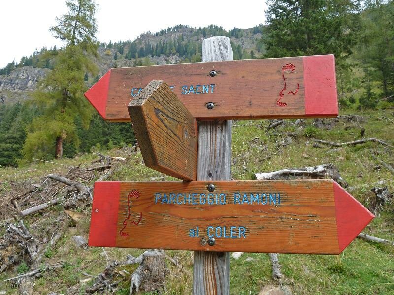
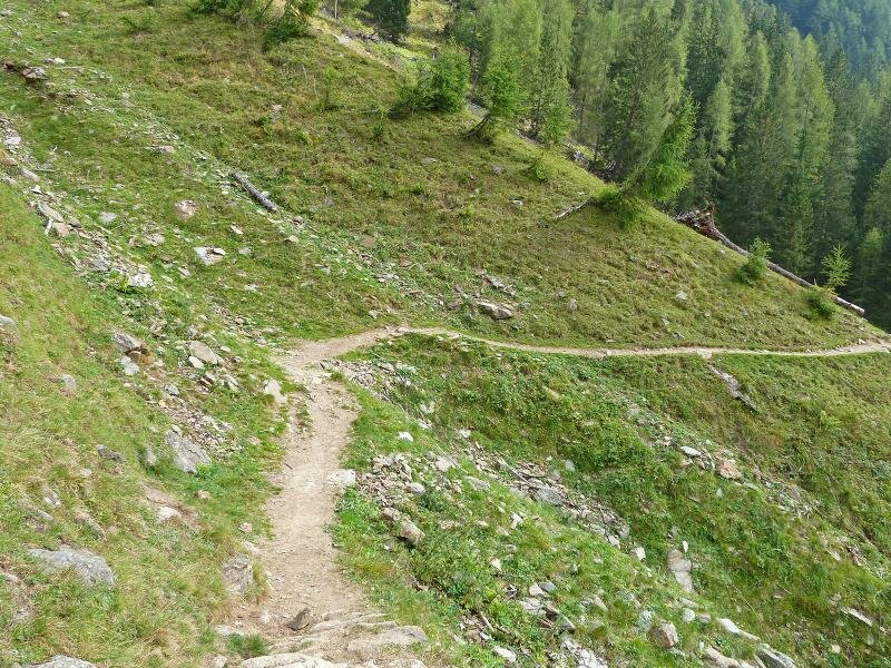

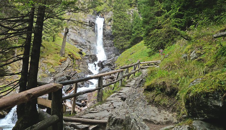
From the car park Fontanelle we walk past Maso Colér and the ristorante Al Fontanin where we continue on the forest road to malga Stablasolo at 1,540 m a.s.l. (with refreshment area). Immediately after the mountain hut, we arrive at the crossroads to the Cascate di Saènt. We cross a bridge and ascend on the eastern part of the valley. There, we take the sentiero delle cascate along which numerous waterfalls can be admired.
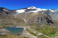
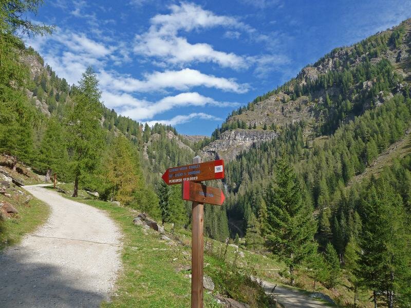
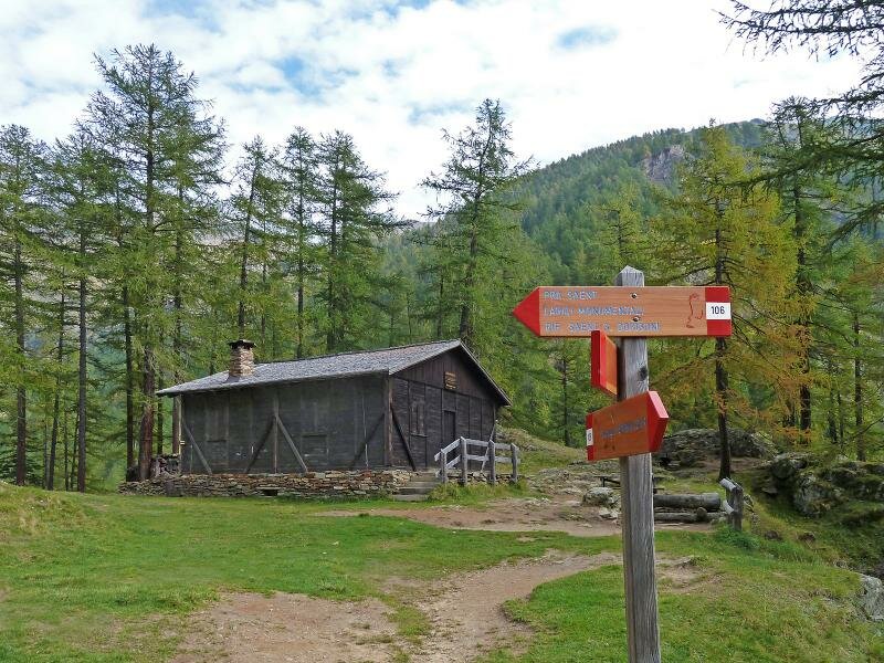
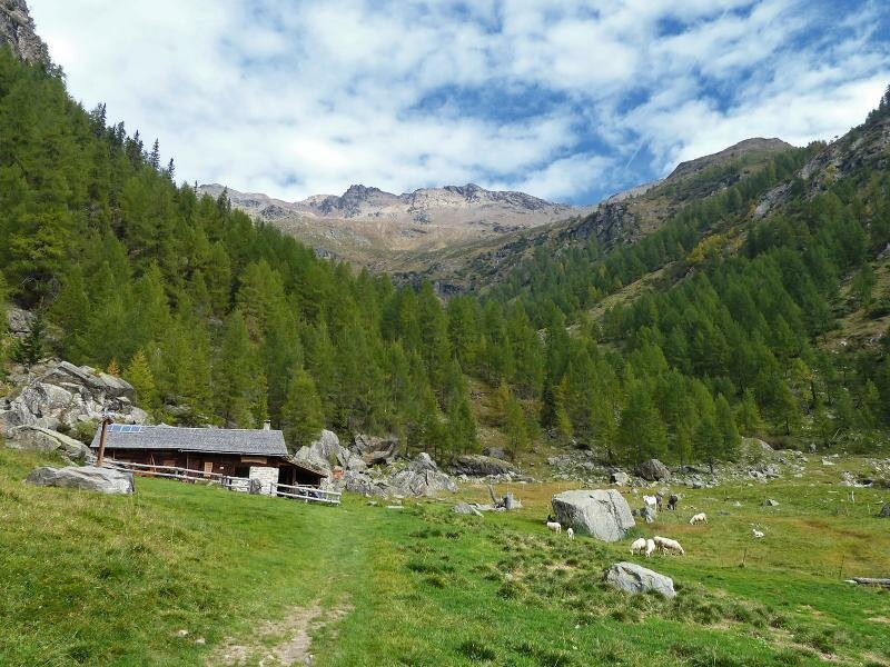
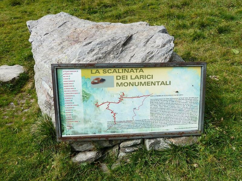
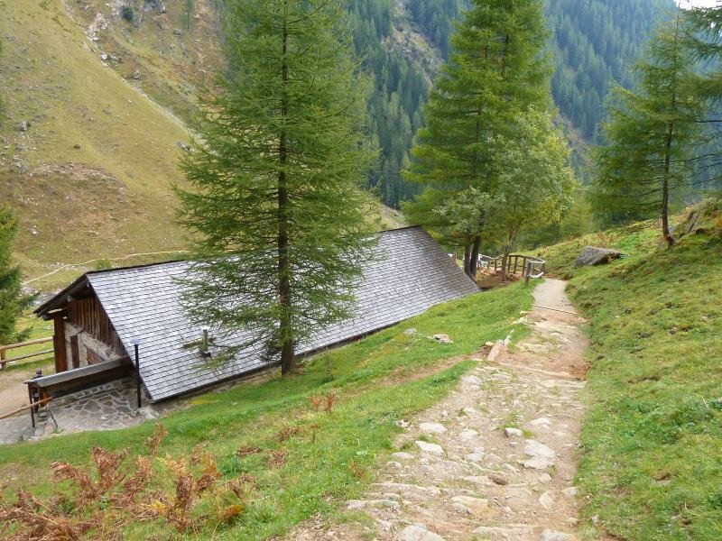
At the end of the itinerary we cross a bridge and reach the rest area "Dos de la Cros". We follow signpost no. 106 through a valley characterised by meadows, larch trees and the rock walls of the Cima Sternai. Here we find the small malga Pra de Saènt. At the beginning of the Scalinata dei Larici Monumentali which takes us to the secular larch trees, we return to the starting point by taking path no. 106.
Author: AT
Shuttle service - summer 2025: June 28, 2025 – September 7, 2025
- Attention: From the end of June to the beginning of September, the Fontanelle - Colér car park is closed from 9.45 am to 5 pm. You can leave your car in Plazze dei Forni and reach the car park by a shuttle service.
-
- Starting point:
- Fontanelle parking space
-
- Overall time:
- 03:10 h
-
- Total route length:
- 8,6 km
-
- Altitude:
- from 1.375 m to 1.800 m
-
- Altitude difference (uphill | downhill):
- +453 m | -453 m
-
- Route:
- Fontanelle - Rifugio al Fontanin - Malga Stablasolo mountain hut - Cascate di Saènt - Alpe Pra di Saent - Fontanelle
-
- Signposts:
- 106, Cascate Saent, Pra di Saent
-
- Destination:
- Malga Pra Saènt
-
- Resting points:
- Rifugio al Fontanin, Malga Stablasolo
-
- Recommended time of year:
- Jan Feb Mar Apr May Jun Jul Aug Sep Oct Nov Dec
-
- Download GPX track:
- Hike to the Saènt Waterfalls in the Val di Rabbi
If you want to undertake this hike, we recommend you to check the weather and trail conditions in advance and on site before setting out.