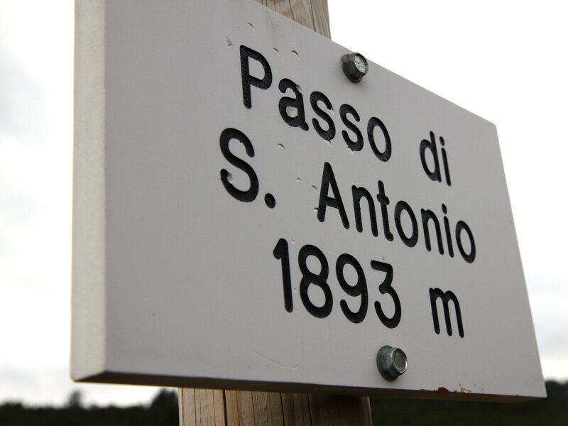
A hike with fantastic panoramic views of Trentino’s valleys and mountains leads us to the Passo di Sant’Antonio at 1,893 m a.s.l
Image gallery: Hike from Monte Terlago to the Passo di Sant’Antonio
-AufdieserBergspitzegibtesanscheinenddenschoenstenAusblickvonganzTrentino-4420.jpg)
-4492.jpg)
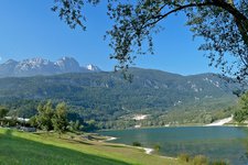
On a wonderful October day we drive towards Monte Terlago, situated between the village of Terlago and the Val d'Adige in Trentino. We leave our car at the car park at 760 m a.s.l. and start our hike. Initially, the path is quite easily walkable and therefore we save our energy for the upcoming steep sections.
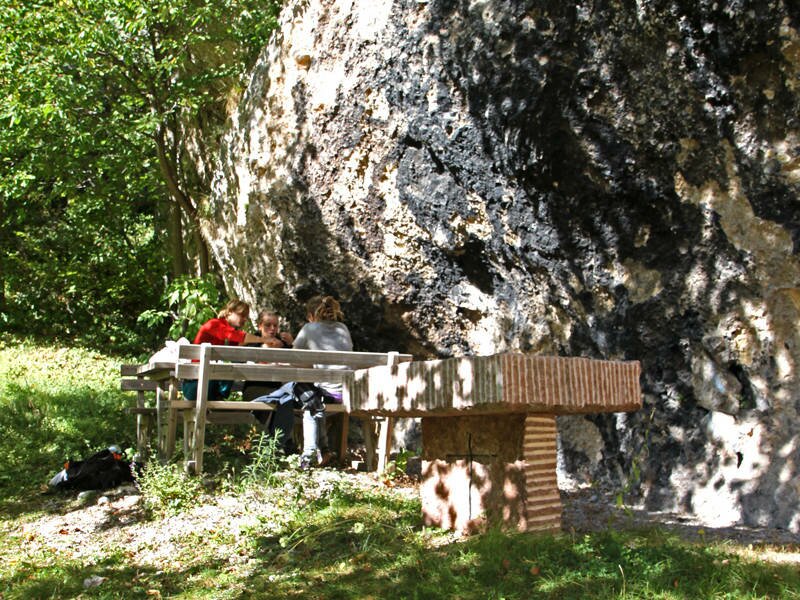
We take path no. 606 and afterwards we can choose between two paths: a very steep path leading up to the mountain peak or a longer forest road with less steep sections. As these two paths meet frequently, we can change path whenever we want to. Initially we take the steep path and eventually switch to the flatter one to recharge our energy. We are glad to be wearing warm clothes as in autumn the temperature in the mountains drop rapidly. Along the path we find numerous rest points in the shadow where we stop for a snack.
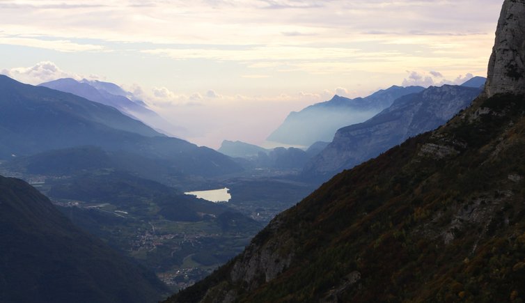
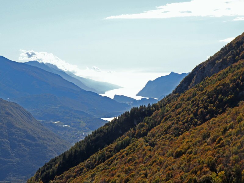
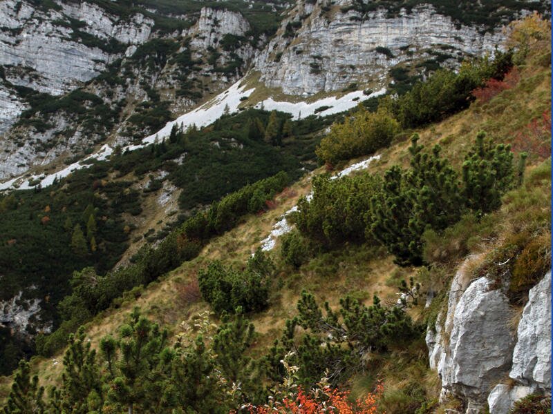
Once at the forest limit, there is only one path that proceeds towards the peak and here you can notice the cold mountain air, as well as the sweet smell of the mountain pine. The last ascent is right in front of us and once arrived at our destination, our efforts are rewarded with a stunning panorama of Trento and its surroundings, as well as the valleys and hills around Lake Garda. This huge and well-known lake has never appeared so small to us!
Tip: The Passo di Sant'Antonio at 1,893 m a.s.l. is situated on a high plateau, which means that you can enjoy an all-round panorama up there. If you planned a whole day for this hike, we highly recommend continuing this hike to the Cima Paganella at 2,091 m a.s.l. A popular song tells that this place offers the best panorama of the province of Trento!
Author: EMS
-
- Starting point:
- Monte Terlago parking space
-
- Overall time:
- 06:20 h
-
- Total route length:
- 14,4 km
-
- Altitude:
- from 747 m to 1.891 m
-
- Altitude difference (uphill | downhill):
- +1328 m | -1328 m
-
- Route:
- from Mt Terlago to Passo di San Antonio (and back)
-
- Signposts:
- 606
-
- Recommended time of year:
- Jan Feb Mar Apr May Jun Jul Aug Sep Oct Nov Dec
-
- Download GPX track:
- Hike from Monte Terlago to the Passo di Sant’Antonio
If you want to undertake this hike, we recommend you to check the weather and trail conditions in advance and on site before setting out.