An alpine hike through the forests above the Valle dei Mocheni to the porphyr summits in the Western part of the Lagorai chain
Image gallery: Summit tour from the Passo Redebus to the Monte Ruioch
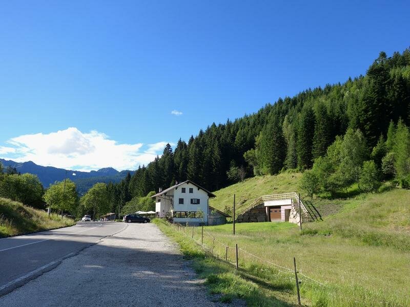
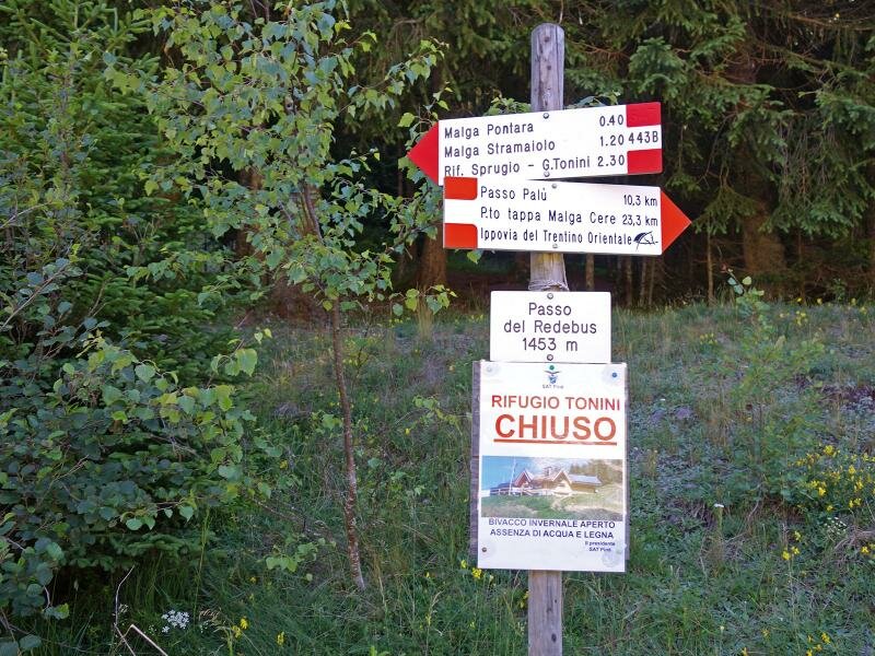
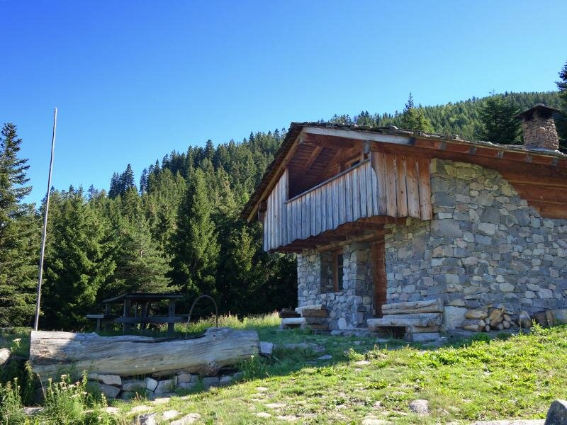
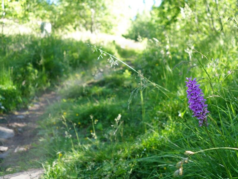
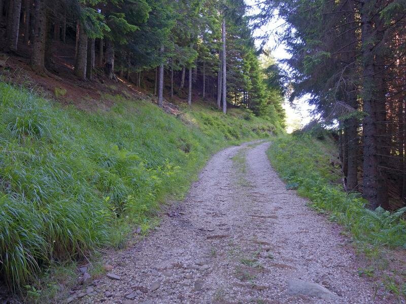
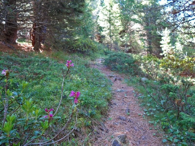
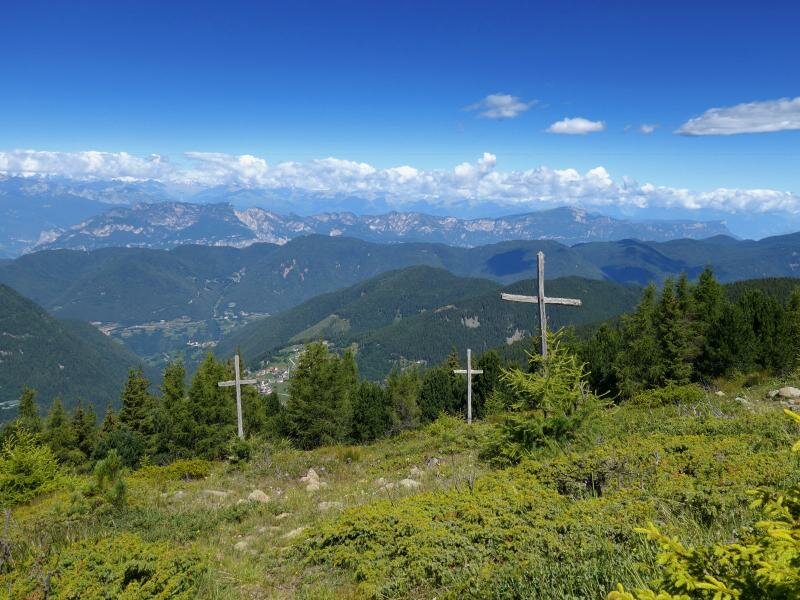
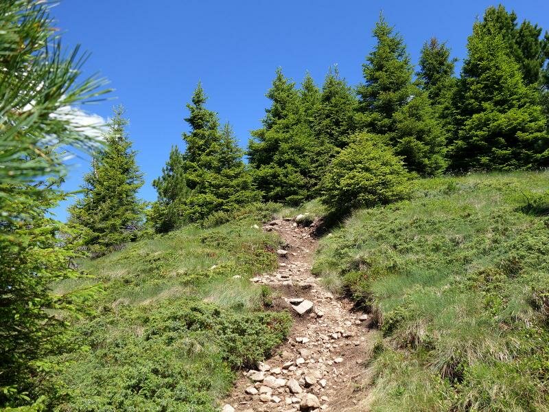
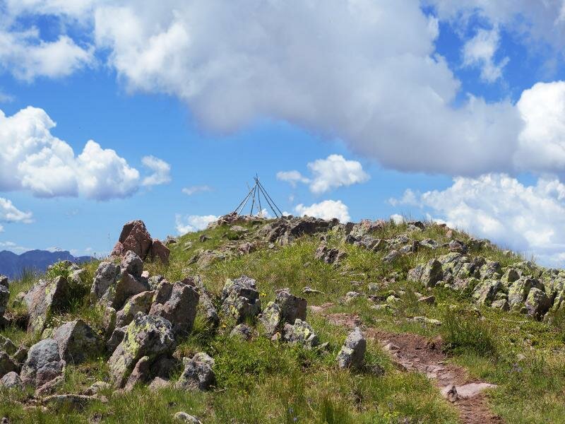
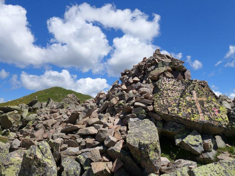
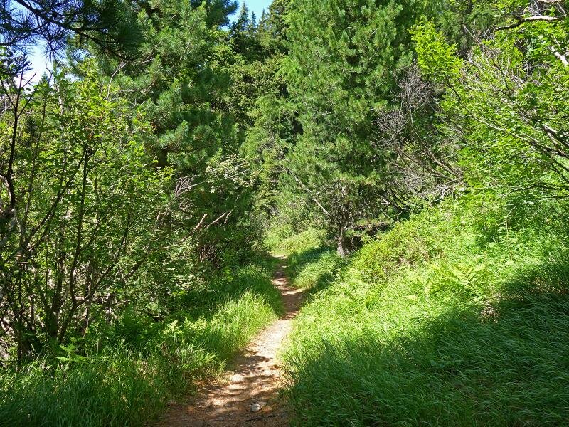
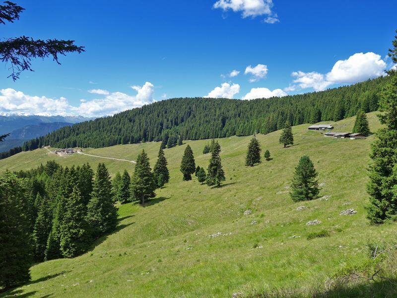
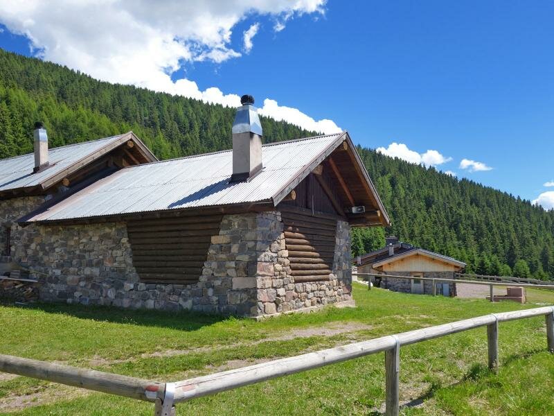
The car park at Passo Redebus, which connects the Valle dei Mocheni to the altopiano di Piné, is an ideal starting point for our hike on Monte Ruioch. Path no. 443B takes us to Malga Regnana before meeting an unmarked forest road which runs uphill. At the end of this road, the barely visible path to Lemperpèrg begins. At the forest limit we walk past three crosses to reach the peak at 2,000 m a.s.l.
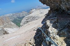
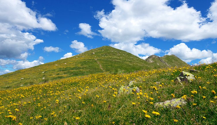
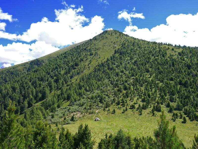
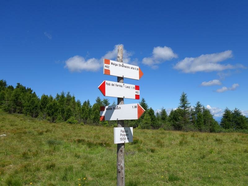
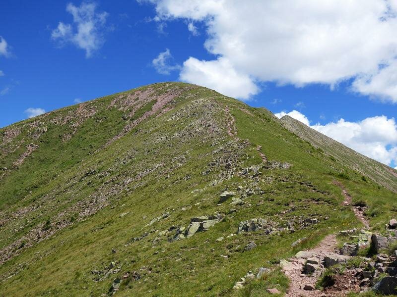
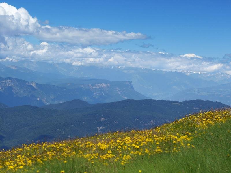
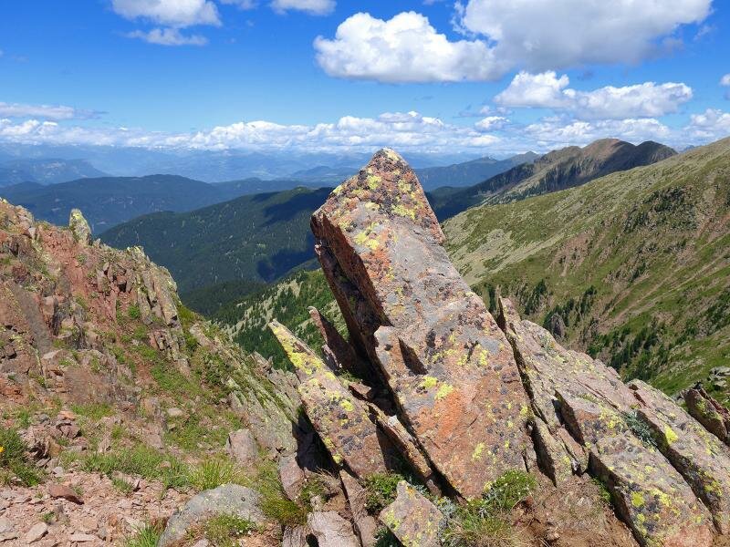
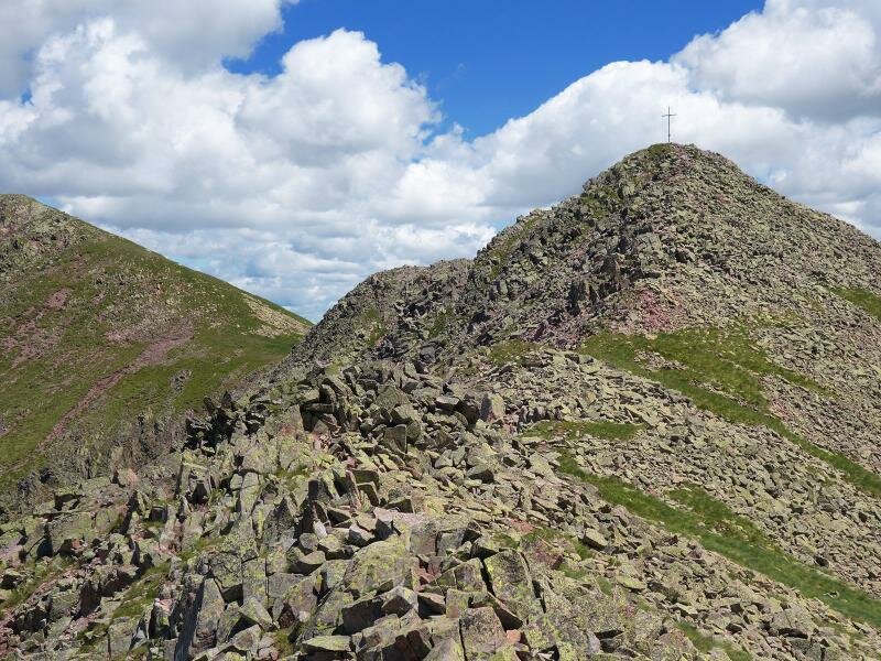
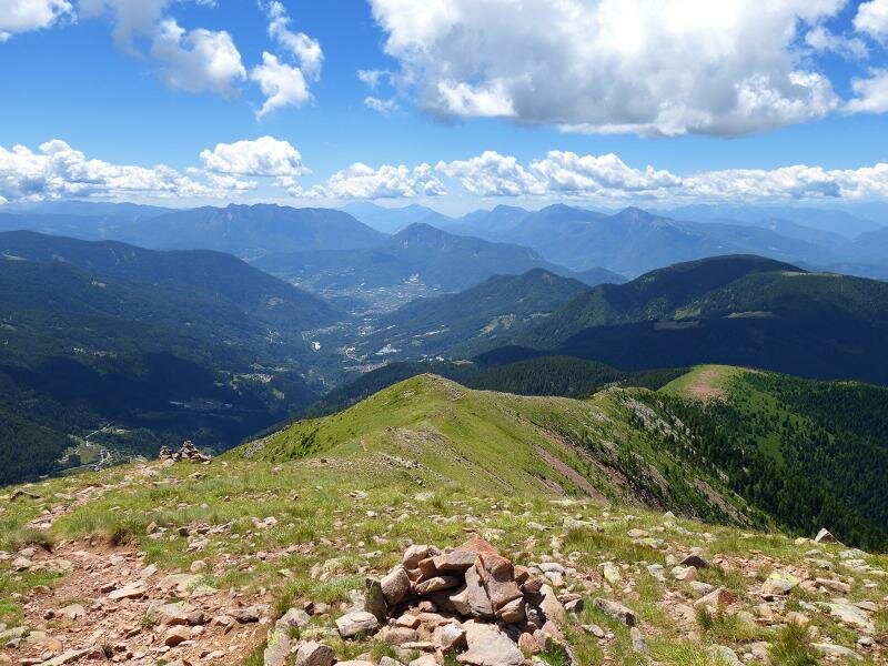
Now we need to tackle the most difficult section of the hike, the descent to Passo Polpen and the climb to the western peaks of the Lagorai peaks: Oltnmonn, Schvorzlommer and Rujoch. Sure-footedness and hiking shoes are required on the paths along the porphyr walls, which have been eroded by rainfall. The panoramic view of the 2,400 m high peaks includes the majestic mountains of Trentino and South Tyrol (Alto Adige). We return to our starting point at Passo Redebus walking past Malga Pontara.
Author: AT
-
- Starting point:
- Passo Redebus
-
- Overall time:
- 05:30 h
-
- Total route length:
- 15,1 km
-
- Altitude:
- from 1.458 m to 2.373 m
-
- Altitude difference (uphill | downhill):
- +988 m | -988 m
-
- Route:
- Redebus - Malga Regnana mountain hut - forest road to Mt. Cima Pontara - Lemperpèrg - Passo Polpen - Oltnmonn (Uomo Vecchio) - Schvorzlommer - Mt. Ruioch - Passo Polpen - Malga Stramaiolo mountain hut - Pontara mountain hut - Redebus
-
- Destination:
- Monte Ruioch
-
- Recommended time of year:
- Jan Feb Mar Apr May Jun Jul Aug Sep Oct Nov Dec
-
- Download GPX track:
- Summit tour from the Passo Redebus to the Monte Ruioch
If you want to undertake this hike, we recommend you to check the weather and trail conditions in advance and on site before setting out.