This impressive circular hike above 2,000 m a.s.l. explores the remote altitudes of the beautiful Lagorai mountain chain
Image gallery: Hike from Passo Manghen to Monte Montalon
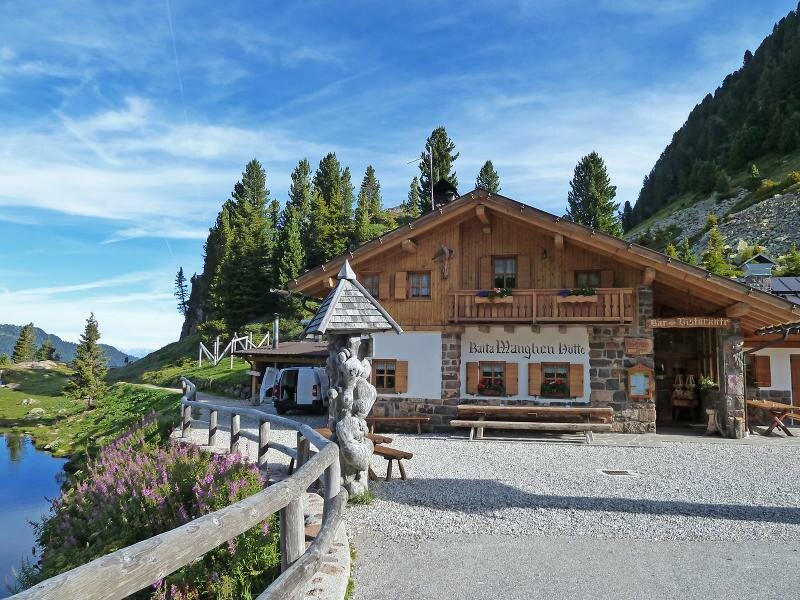
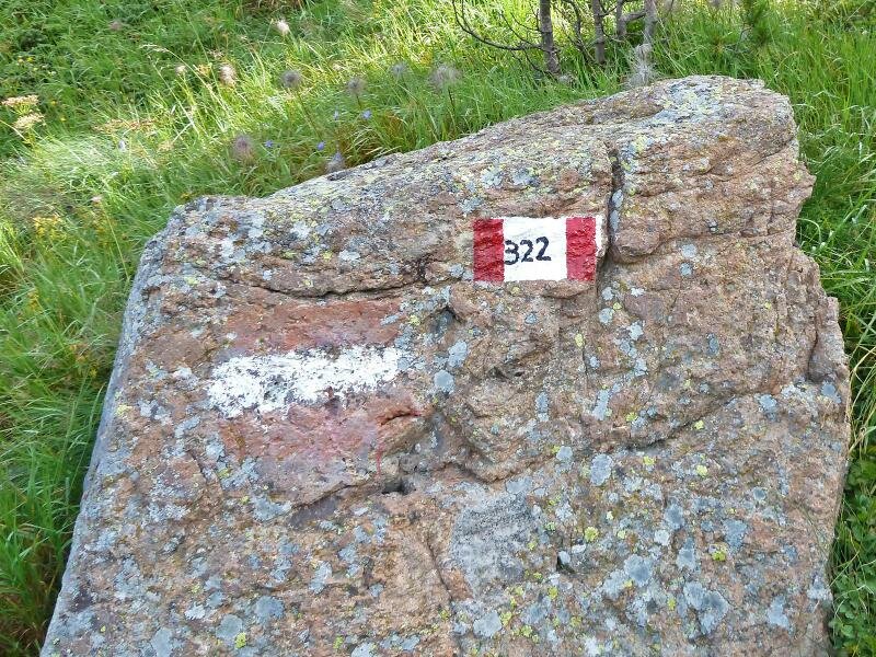
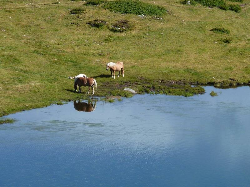
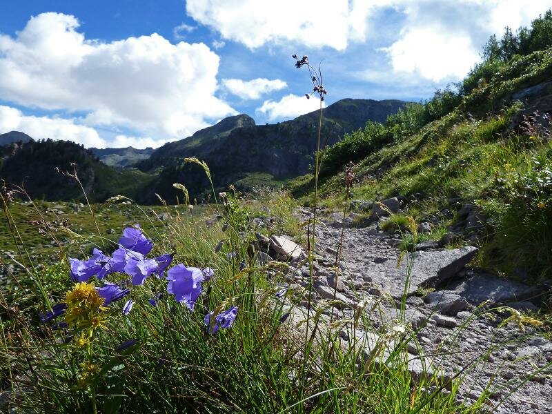
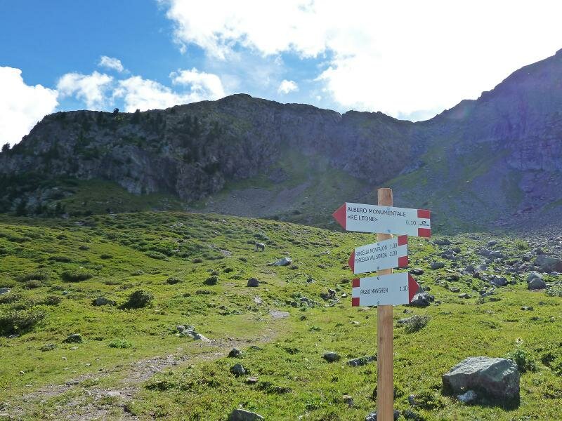
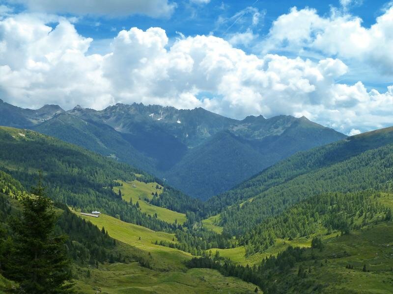
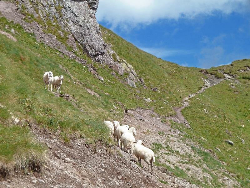
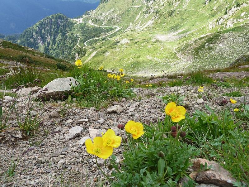
The Lagorai Mountain Chain separates the Val di Fiemme from the Valsugana and boasts an unspoilt natural landscape in the heart of Trentino. The road to Passo Manghen is one of the few human traces and the only road in this area. Passo Manghen at 2,000 m a.s.l., the starting point of our hike, is reachable from Cavalese in the Val di Fiemme or from Borgo Valsugana. After a coffee break at the Baita Manghen, we start our hike by passing the small lake and heading towards Lago delle Buse (signpost no. 322).
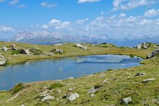
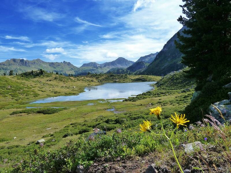
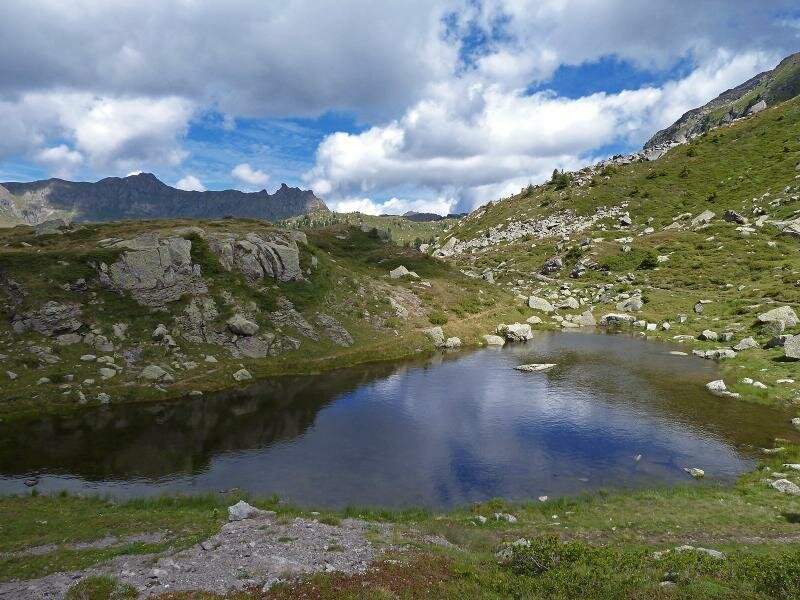
The path takes us to the northern side of the Gruppo Montalon and after a 45-minute walk, we arrive at Lago delle Buse, a beautiful lake surrounded by marshes. We follow path no. 322A and climb towards Plan delle Fave and the Forcella del Montalon.
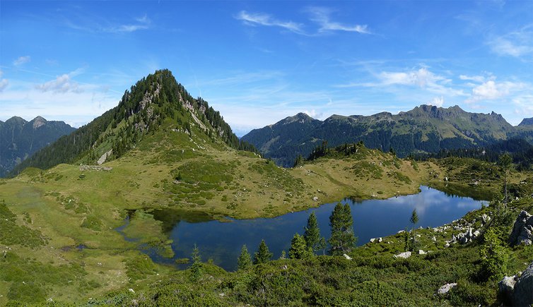
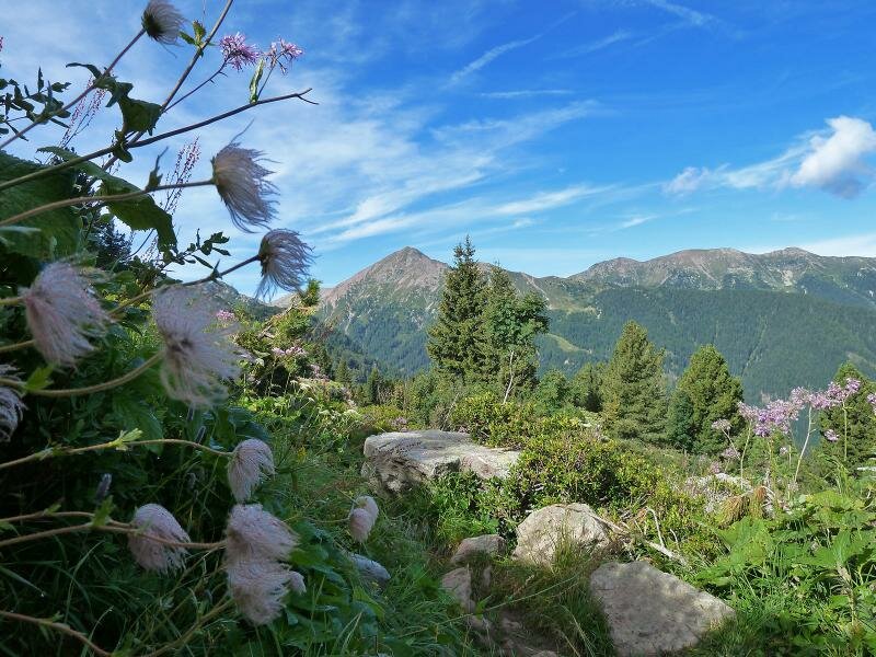
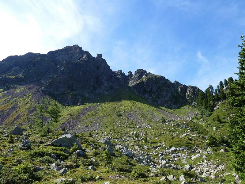
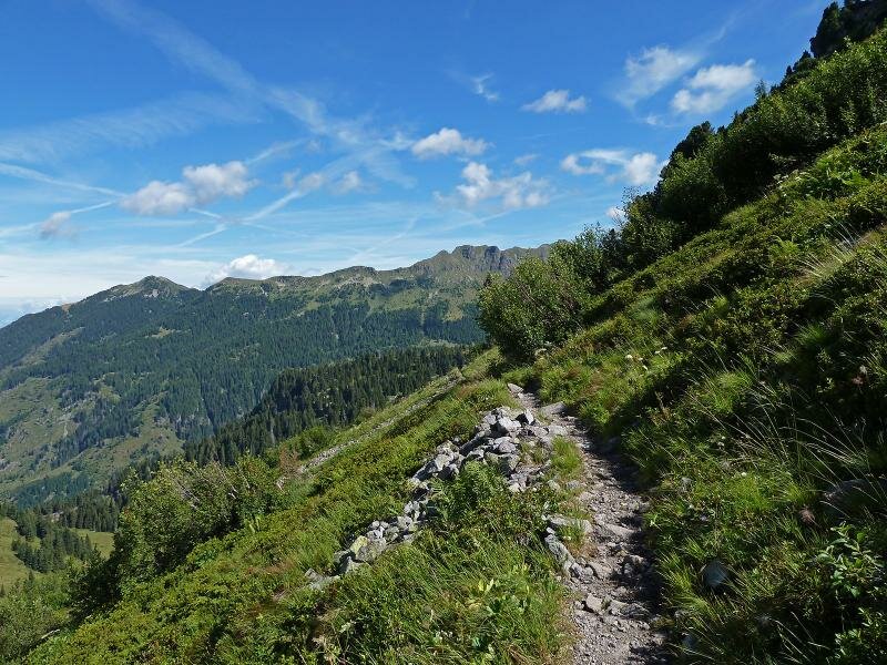
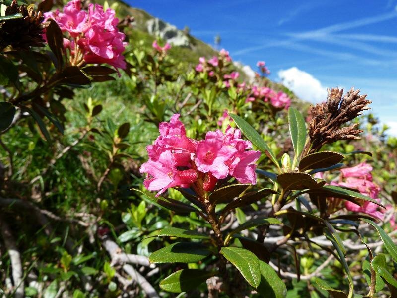
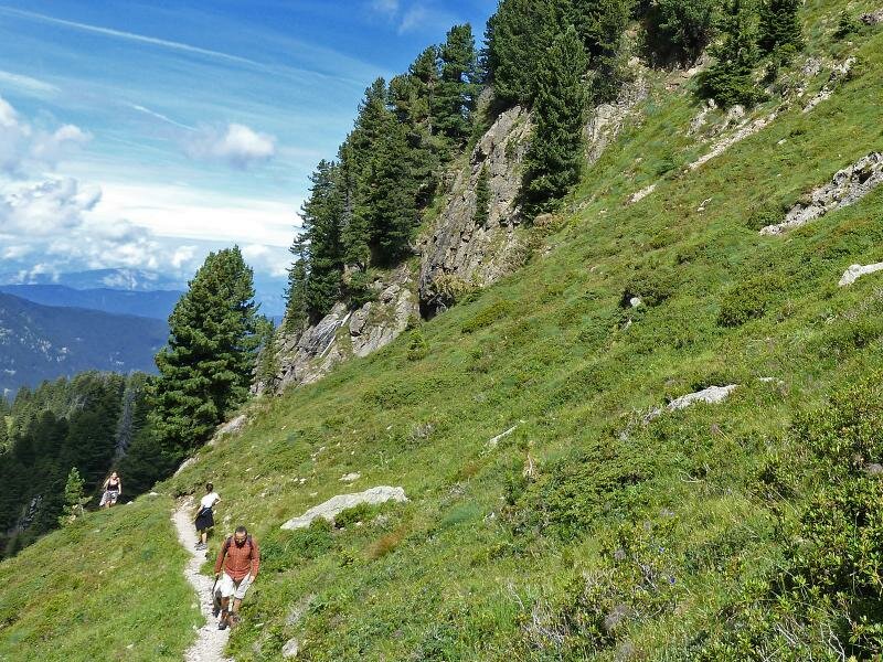
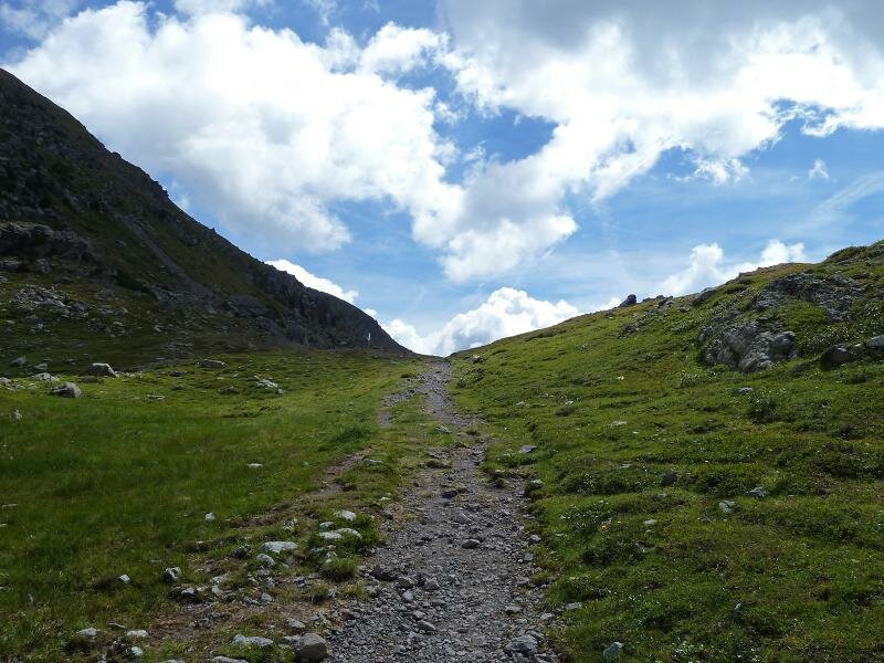
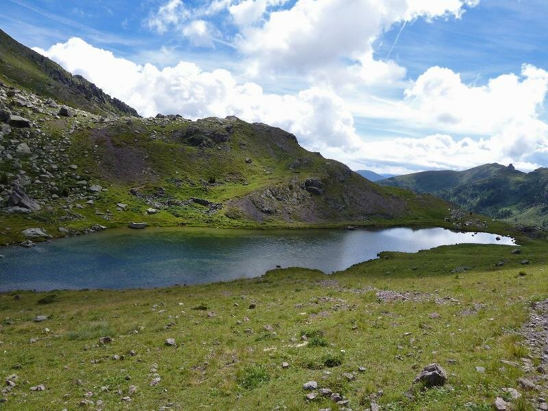
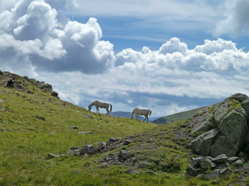
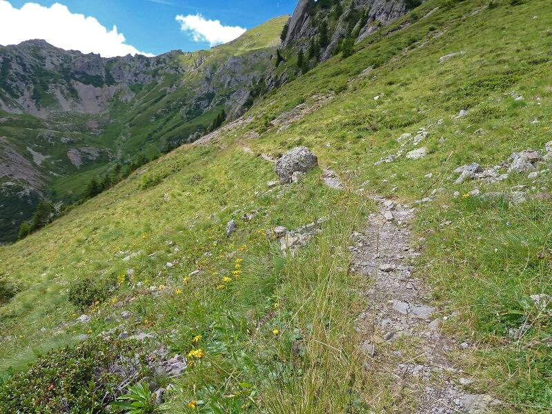
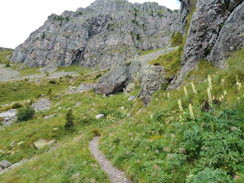
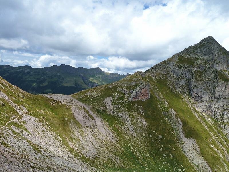
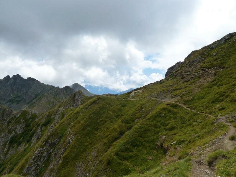
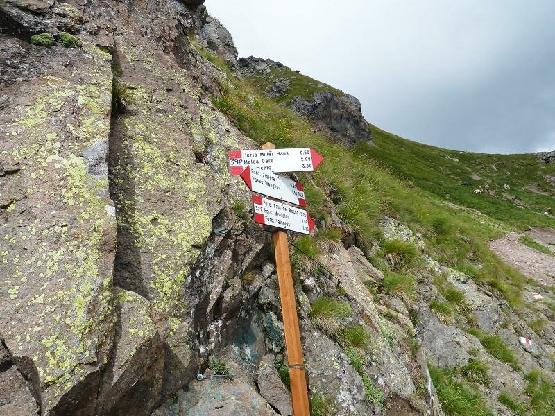
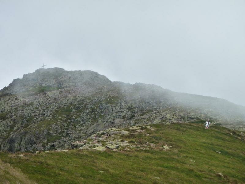
We are absolutely amazed by the unique beauty of this unspoilt nature. Below our path stand some mountain huts. The path continues to the Forcella del Montalon, a pass at 2,133 m a.s.l., and to the southern part of the mountain group. Having passed the Laghi del Montalon, we enjoy a wonderful view of the Val Montalon. After the Forcella Pala del Becco, we remain on the southern side and proceed towards Forcella Ziolera (signpost no. 322). We follow the route over the Forcella del Frate and descend towards Passo Manghen.
Date of the hike: 29 August 2014
Last updated in: 2026
Author: AT
-
- Starting point:
- Passo Manghen mountain pass
-
- Overall time:
- 04:45 h
-
- Total route length:
- 11,9 km
-
- Altitude:
- from 1.981 m to 2.309 m
-
- Altitude difference (uphill | downhill):
- +592 m | -592 m
-
- Route:
- Passo Manghen - Lago delle Buse (Lake Buse) - Piana delle Fave - Forcella Montalon saddle - Forcella Ziolera saddle - Forcella del Frate saddle - Passo Manghen
-
- Signposts:
- 322, 322A, 322B, 322
-
- Recommended time of year:
- Jan Feb Mar Apr May Jun Jul Aug Sep Oct Nov Dec
-
- Download GPX track:
- Hike from Passo Manghen to Monte Montalon
If you want to undertake this hike, we recommend checking the weather and trail conditions in advance and on site before starting this hike!