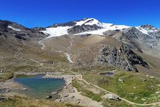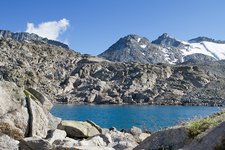
The Laghi di Strino, impressive natural gems in the Val di Sole and Trentino, delight us with their truly unique landscape characterised by military fortresses and installations, as well as some marmots leaving their lairs
Image gallery: Hike to the Strino Lakes
For this itinerary, you will need two cars, as the final destination is not Passo del Tonale but the Rifugio al Fontanino near Lago di Pian Palù in the Val di Pejo. Please plan an extra 30 minutes to bring your car to the final destination. Alternatively, you can follow an easier circular route on your way back, leading you directly to the starting point at Passo Tonale. Today, we opted for the first version.
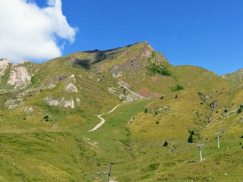
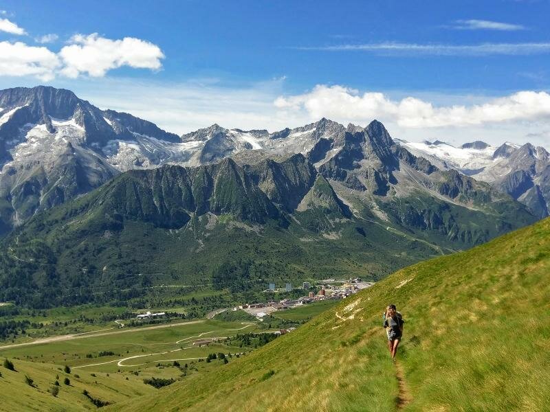
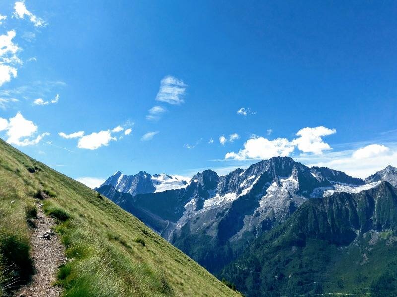
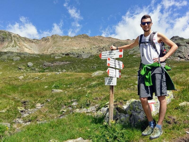
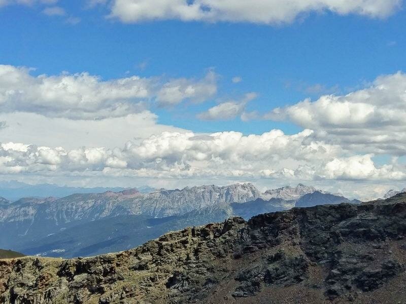
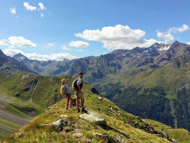
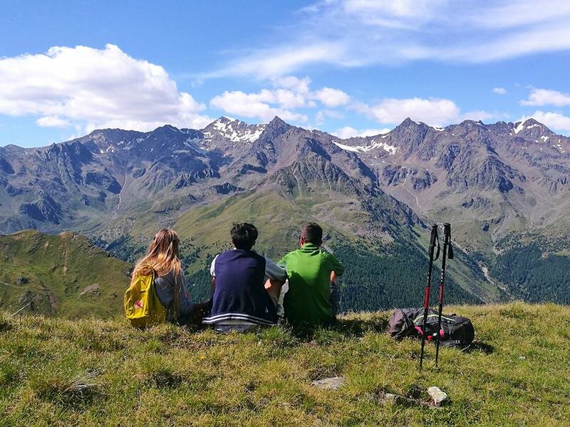
We take the Valbiolo chairlift from Passo Tonale to the eponymous malga, from where we begin our hike. From there, we follow path no. 161, which runs along a quite steep meadow slope known as Alpe del Tonale. At the wide pass, we admire a stunning panorama of the entire Presanella group and the Val di Sole. From the small saddle, we descend towards the basin for a short distance, arriving at the so-called "Città Morta" (Dead City), where remains of Austrian military installations from the First World War are still visible. We continue until we reach the fork where path no. 137, signposted "Laghetti di Strino-Bocchetta di Strino", begins.
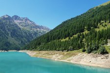
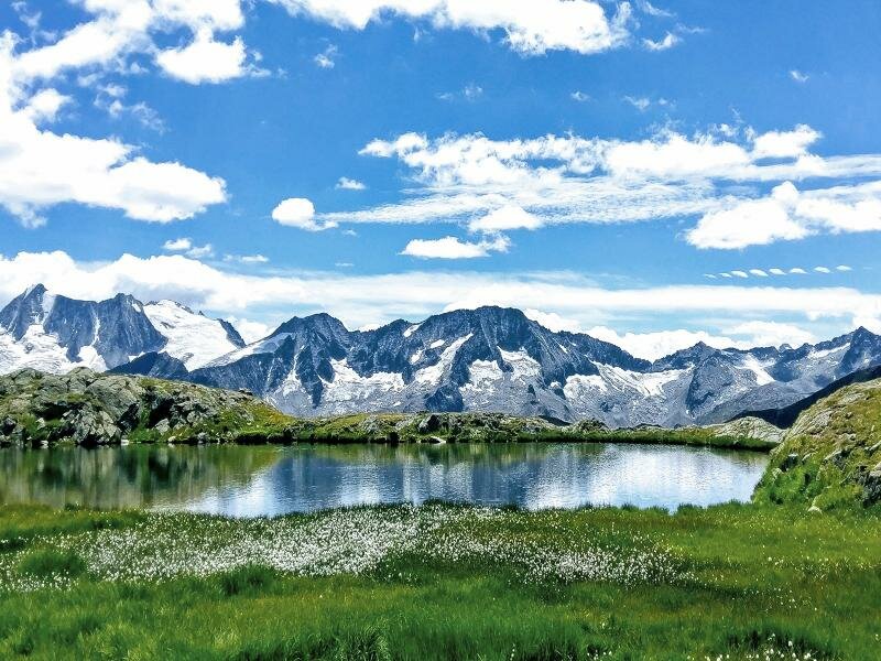
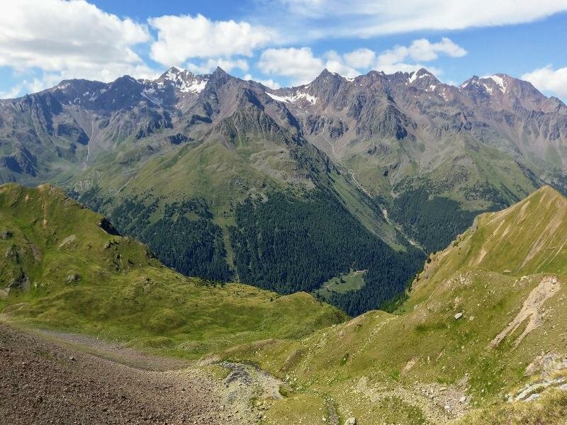
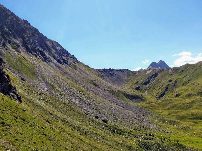
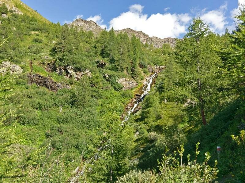
After a break at the lakes, we proceed along path no. 137 towards Bocchetta di Strino - the highest point of our hike - until we arrive at Rifugio Fontanino. The rocky and steep descent should be handled with caution, but it is still a memorable experience, thanks to a small alpine lake and magnificent views of Cevedale (3,796 m), Monte Vioz (3,645 m) and Punta San Matteo (3,678 m), all part of the Stelvio National Park.
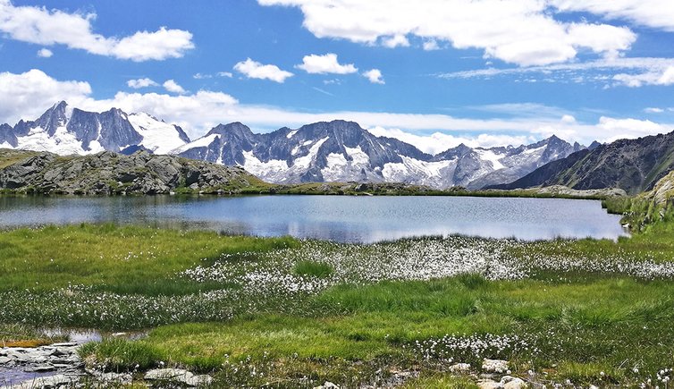
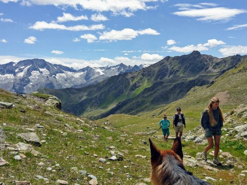
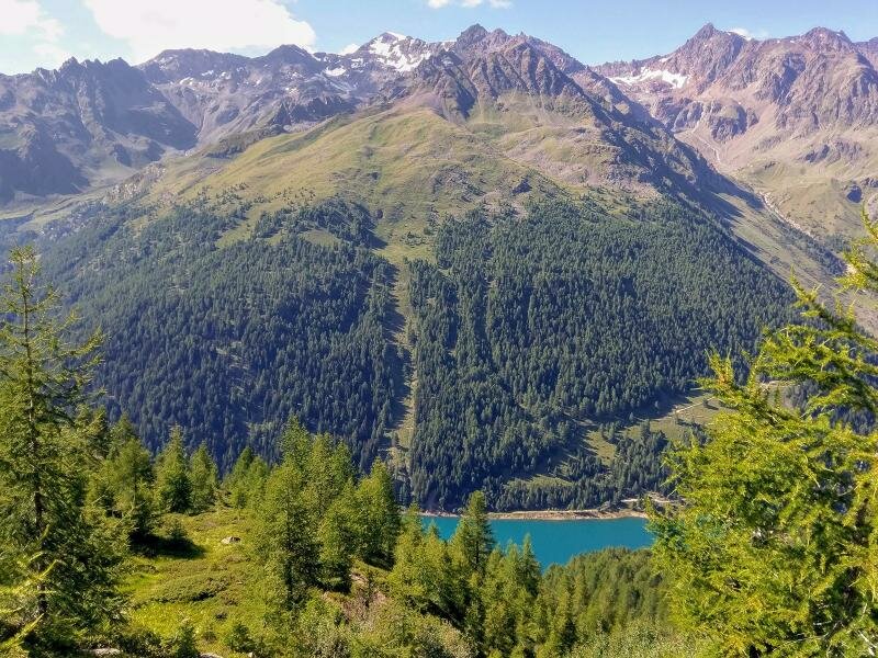
Alternative route: instead of ascending from the lakes towards the Bocchetta di Strino, you return via path no. 137 and 137A towards Forte Strino, from where you can complete a stunning circular hike back to the starting point. This alternative leads you first across a larch forest and then through green alpine pastures. It is 16 km long and can be completed in 6 hours, with a total climb of 970 metres and a total drop of 1,305 metres, the highest point being 2,600 m a.s.l.
Author: Giacomo Roccabruna
-
- Starting point:
- Passo del Tonale, Valbiolo Chairlift
-
- Overall time:
- 06:00 h
-
- Total route length:
- 13,4 km
-
- Altitude:
- from 1.685 m to 2.847 m
-
- Altitude difference (uphill | downhill):
- +1096 m | -1637 m
-
- Route:
- Valbiolo Mountain Hut - no. 161 - Strino Lakes - Bocchetta di Strino - Celentino Mountain Hut - Fontantino Mountain Hut
-
- Recommended time of year:
- Jan Feb Mar Apr May Jun Jul Aug Sep Oct Nov Dec
-
- Download GPX track:
- Hike to the Strino Lakes
If you want to undertake this hike, we recommend checking the weather and trail conditions in advance and on site before starting this hike!