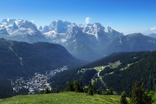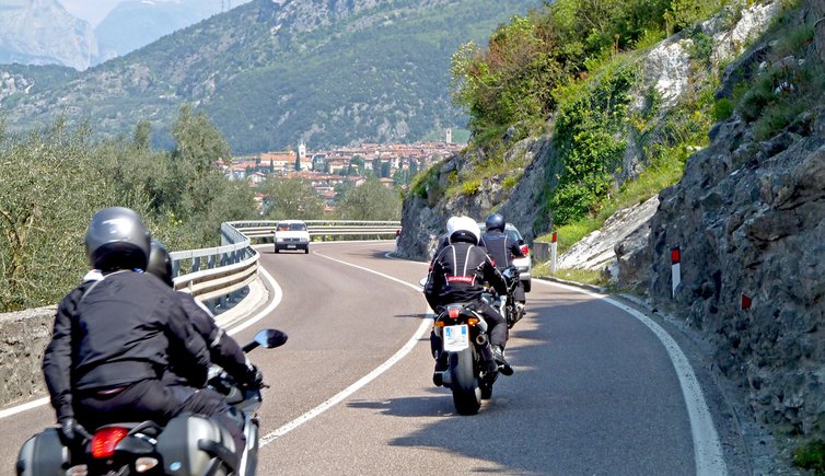
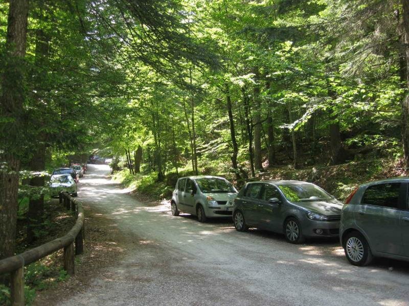
Starting in Madonna di Campiglio the tour leads for about 200 km through Trentino’s beautiful landscape, from valleys to mountain passes, past lakes and waterfalls
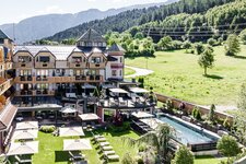
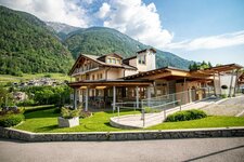
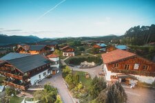
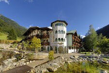
Image gallery: Motorbike tour - Lake tour
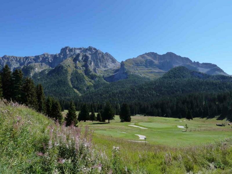
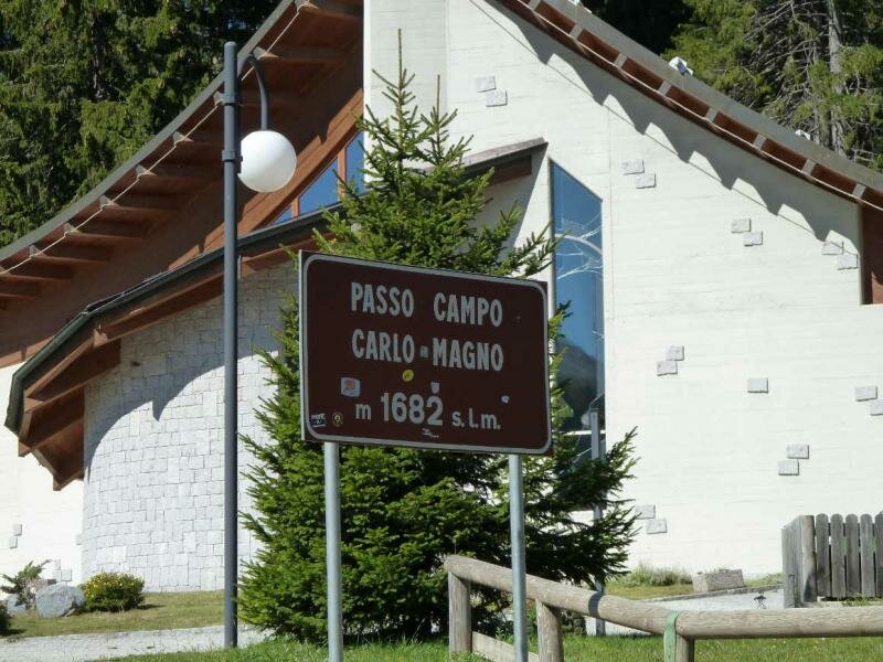
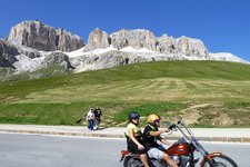
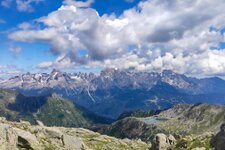
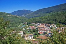
The Lake Tour in the Trentino is well-known among bikers. The approx. 200 km long route starts in Madonna di Campiglio, crosses the Adamello Brenta Nature Park before climbing up to the Campo Carlo Magno mountain pass at 1,682 m a.s.l., which offers a fantastic view on the Brenta Mountain Group. Then the route proceeds through the woods of the Val di Meledrio and past Folgarida. After a few curves we reach the village of Dimaro (766 m a.s.l.) in the Val di Sole.
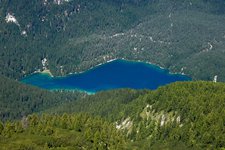
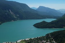
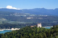
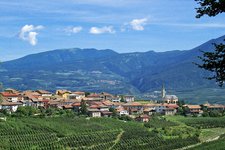
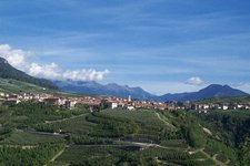
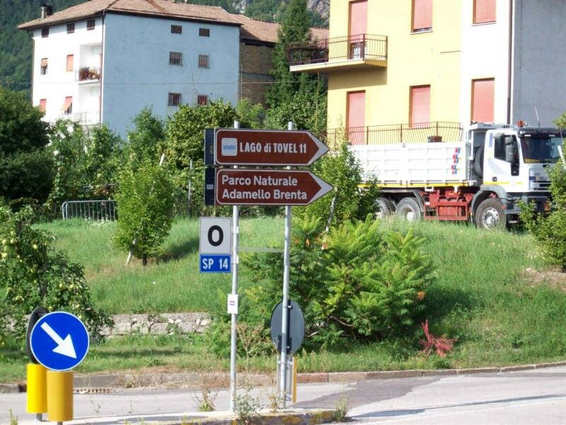
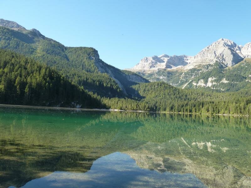
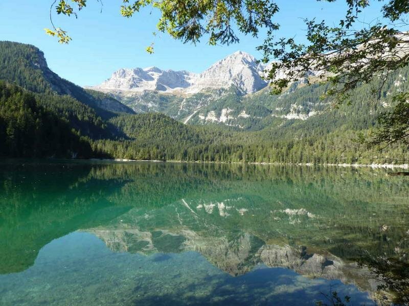
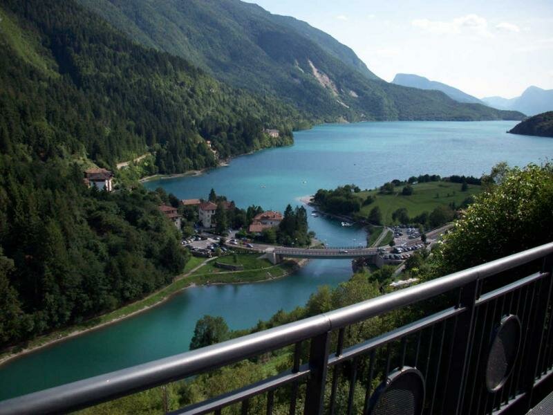
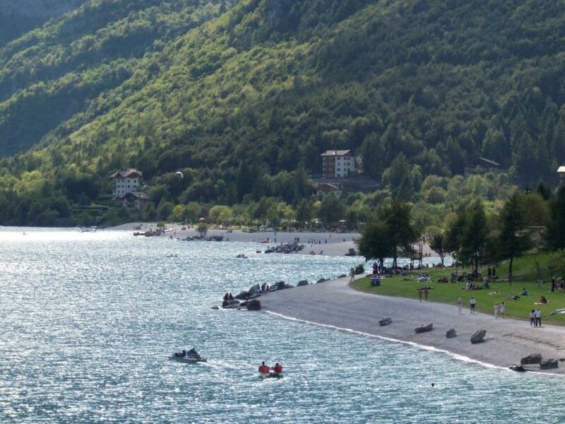
We head towards east through the typical landscape of the Val di Non which is characterised by apple orchards. Once arrived in Cles, we drive towards Lake Tovel at 1,178 m a.s.l. along a road with a max. gradient of 12 %. The lake itself, surrounded by the impressive peaks of the Brenta Mountain Group, is a true natural gem and really worth visiting. From Lake Tovel we drive back to Tuenno, past the village of Denno and 1 km after Campodenno we turn right towards Lake Molveno at 865 m a.s.l. and drive along a narrow road with numerous bends. Lake Molveno is a popular excursion and holiday destination with many restaurants, pizzerias, camping sites and accommodations, making it the perfect spot for our lunch break.
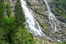
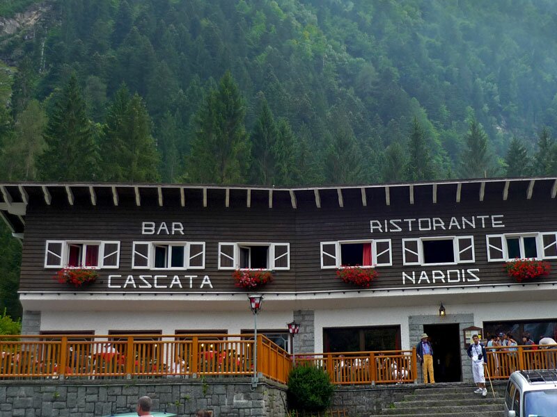
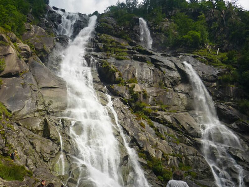
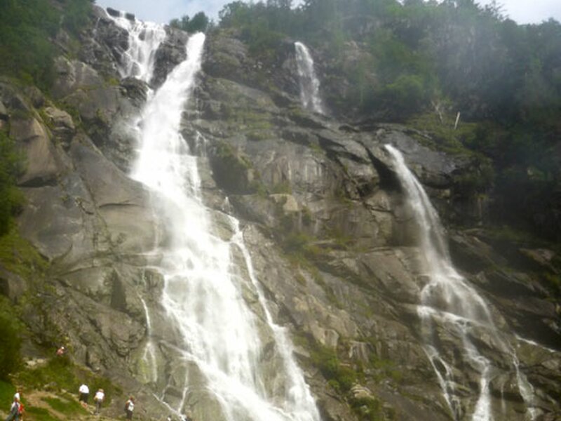
From Lake Molveno we continue to Ponte Arche and then towards Lake Ponte Pia and Tione. After having crossed the Val Rendena and arrived in Carisolo, we turn left and enter the Val di Genova, where we proceed on a 17 km long road in an almost uncontaminated natural landscape with numerous waterfalls, such as the famous, 100 metres high waterfalls of Nardis (cascate di Nardis), which can be seen on the right side of the road after having driven for 4 kilometres. Once back in Carisolo, we turn left to return to Madonna di Campiglio, our starting point.
-
- Starting point:
- Madonna di Campiglio
-
- Total route length:
- 169,6 km
-
- Altitude:
- from 260 m to 1.715 m
-
- Altitude difference (uphill | downhill):
- +4018 m | -4019 m
-
- Route:
- Madonna di Campiglio – SS239 until Campo Carlo Magno Pass – Folgarida – Dimaro – take SS42 – take SS43 to the right towards Cles – turn right onto the SP73 towards Lake Tovel – back to Tuenno and Denno – turn left on the SP67 – at Campodenno take the SP73 and after 1 km turn right and take the SS421 until Molveno – continue until Ponte Arche – at Bleggio Inferiore take the SS237 towards Tione – take the SS239 and drive until Carisolo – turn left into the Val di Genova with the Nardis Waterfalls – turn left in Carisolo to return to Madonna di Campiglio
-
- Destination:
- Madonna di Campiglio
-
- Recommended time of year:
- Jan Feb Mar Apr May Jun Jul Aug Sep Oct Nov Dec
-
- Download GPX track:
- Motorbike tour - Lake tour
-
- More information:
- Landmarks: Campo Carlo Magno Pass – Lake Tovel – Lake Molveno – Val di Genova – Nardis Waterfalls