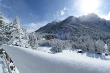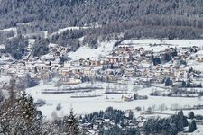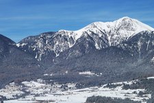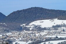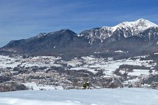
Mt Corno Nero, a 2,439 m peak, overlooks the villages of Daiano, Carano and Varena in the Val di Fiemme and is easily reachable from Passo Oclini (Jochgrimm-Pass)
Image gallery: Hike to the Corno Nero
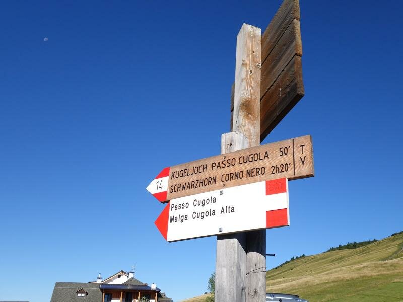
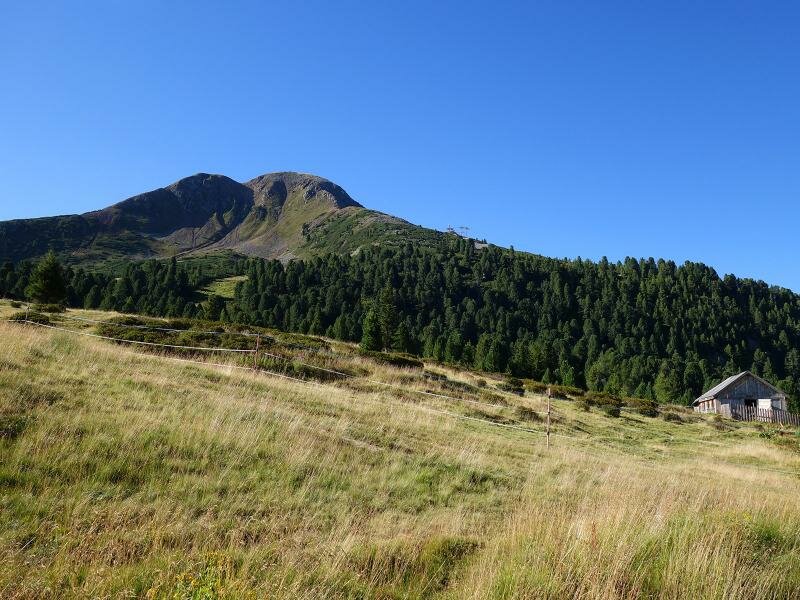
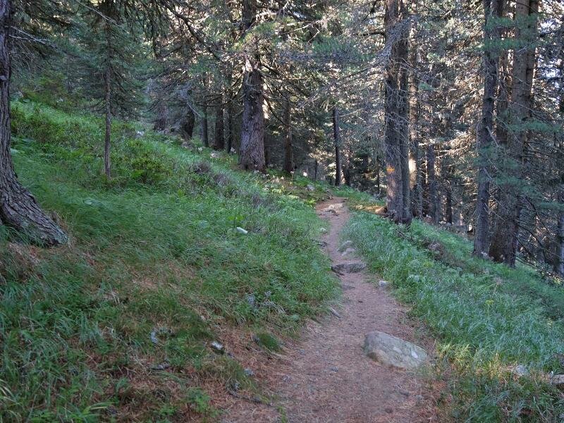
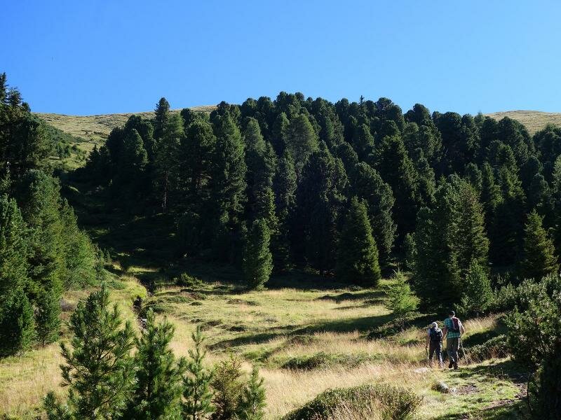
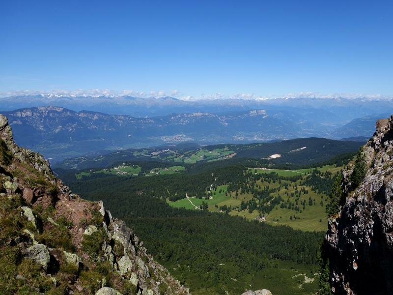
The ideal starting point for a circular hike to Corno Nero (Schwarzhorn in German) is Passo Oclini (Jochgrimm in German, 1,990 m a.s.l.) which can be easily reached by car on the road to Passo Lavazè. At the car park, we take path no. 14 towards Passo Cubola (Kugeljoch) and walk across pastures and through a forest. After 3 km, the path converges with path no. 502, leading uphill towards Corno Nero.
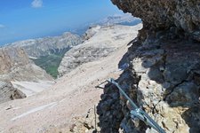
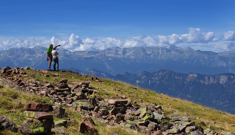
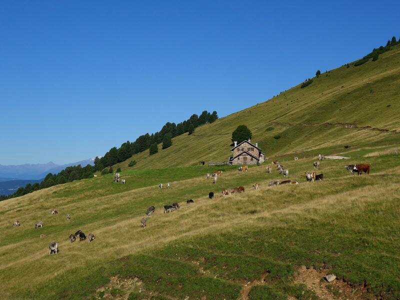
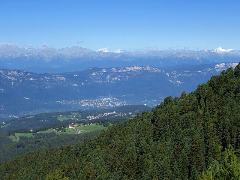
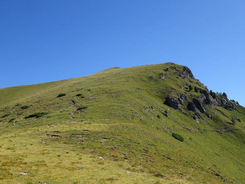
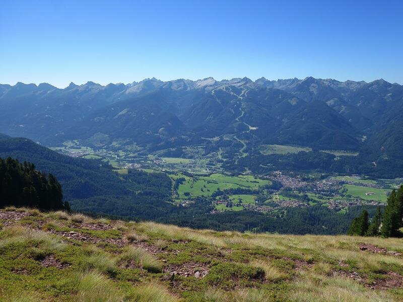
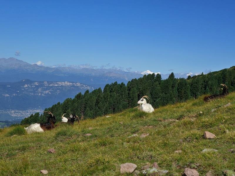
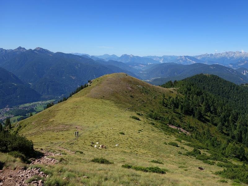
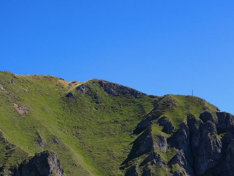
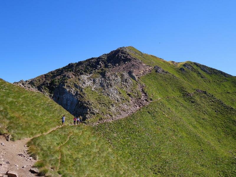
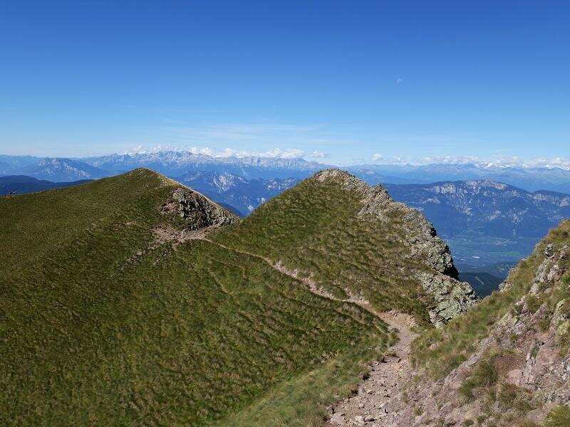
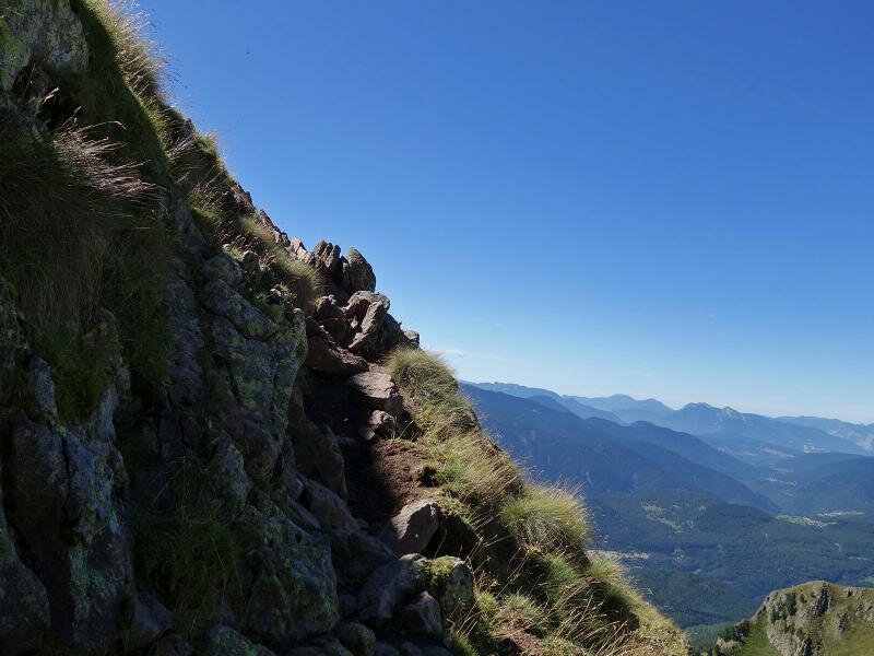
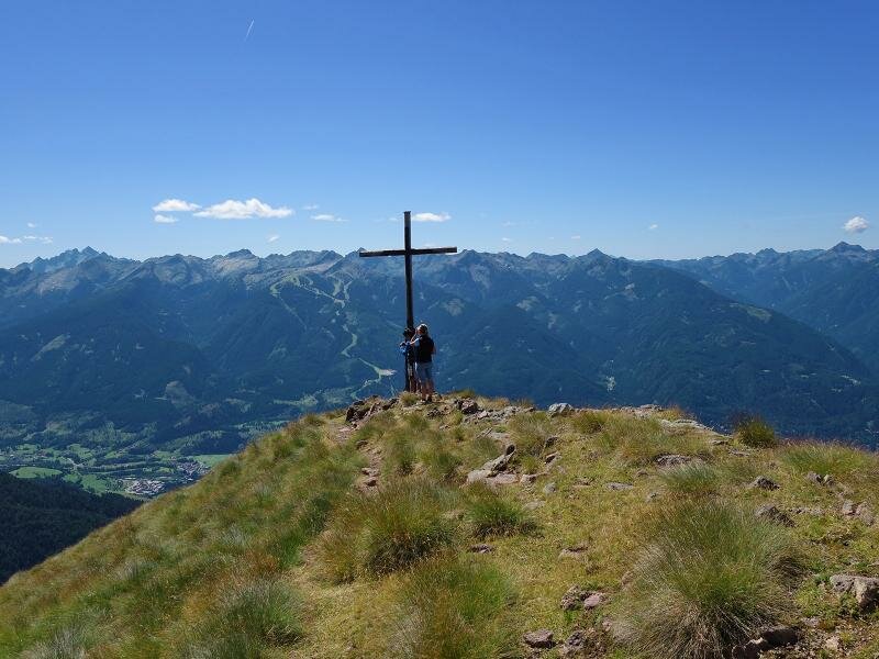
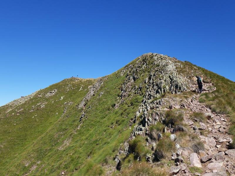
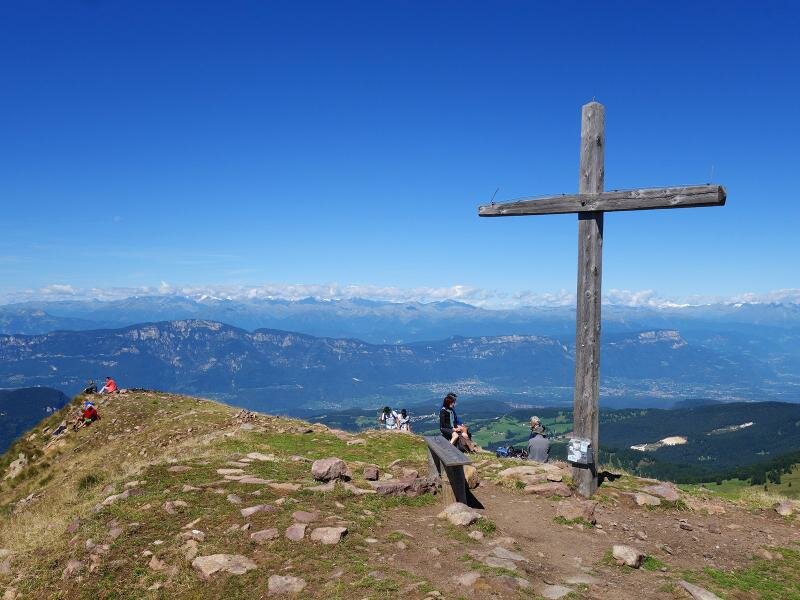
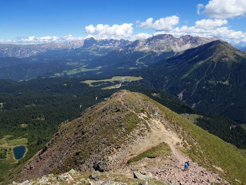
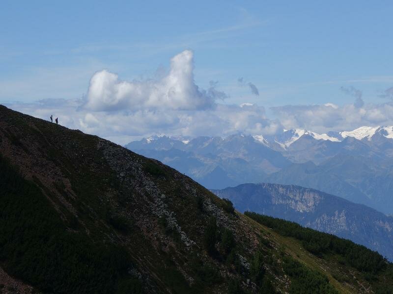
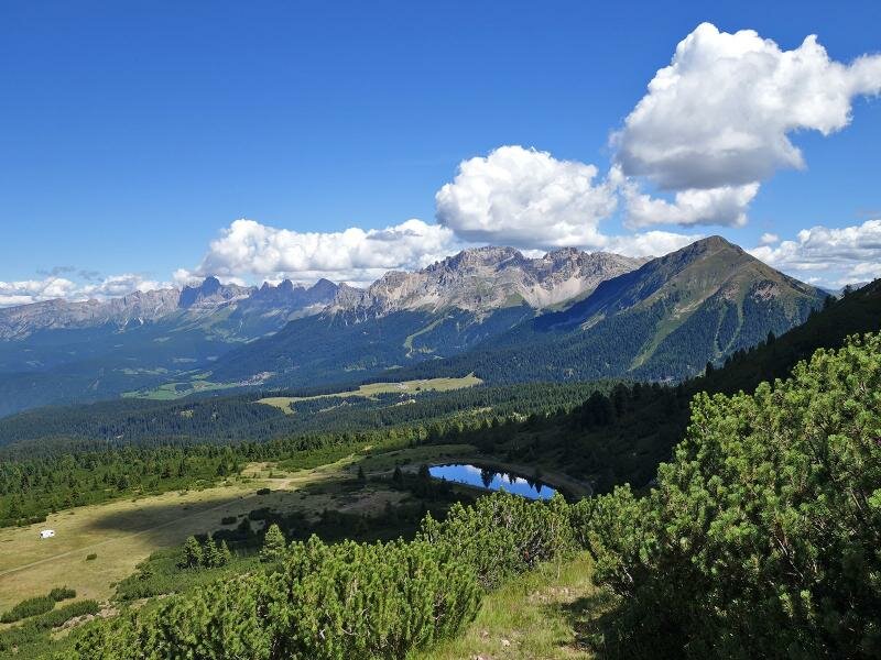
After the first quite steep ascent, we arrive at meadows on the ridge of Corno Nero, where goats are grazing. Our path climbs towards Palone, the foresummit (2,350 m a.s.l.). We continue along the crest towards Rocca, the south summit of Corno Nero. Right below the summit cross, we have to tackle the most difficult part of this hike, before finally enjoying the view of the Val di Fiemme and the Lagorai Group. After a few minutes' walk, we reach the main summit of Corno Nero at an altitude of 2,439 m a.s.l. From here, we have a spectacular view of the Catena Centrale delle Alpi, the Ortles-Cevedale, the Adamello and Presanella ranges, the Brenta Dolomites and many other mountain ranges.
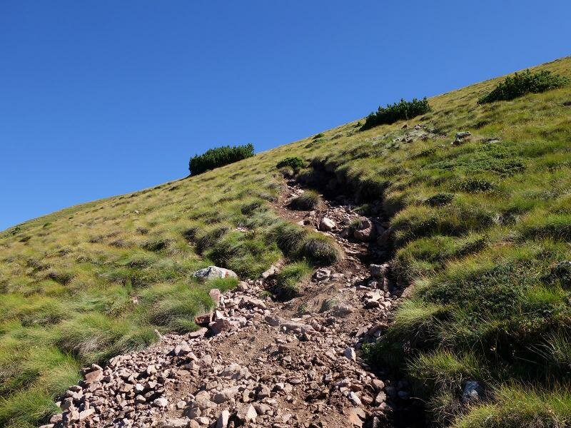
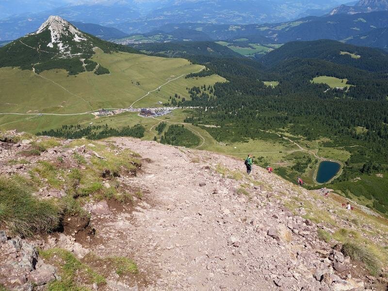
The descent on path no. 502 should not be underestimated, as it features loose gravel and slippery stones, which require caution and sure-footedness. Hiking boots can help you avoid dangerous situations. We end our trip with a drink at the bar of Hotel Schwarzhorn.
Author: AT
-
- Starting point:
- Passo Oclini (parking space)
-
- Overall time:
- 03:20 h
-
- Total route length:
- 6,7 km
-
- Altitude:
- from 1.949 m to 2.439 m
-
- Altitude difference (uphill | downhill):
- +559 m | -559 m
-
- Route:
- Passo Cugola, Palone, Corno Nero Crest, La Rocca Peak, Corno Nero Peak, Passo Oclini
-
- Signposts:
- no. 14, 502, 573
-
- Recommended time of year:
- Jan Feb Mar Apr May Jun Jul Aug Sep Oct Nov Dec
-
- Download GPX track:
- Hike to the Corno Nero
If you want to undertake this hike, we recommend you to check the weather and trail conditions in advance and on site before setting out.