Discovering six high-altitude alpine lakes between the Val di Sole and Madonna di Campiglio
Image gallery: A hike to the lakes of the Malghe di Commezzadura
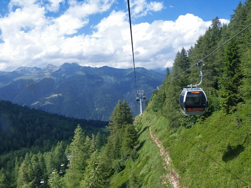
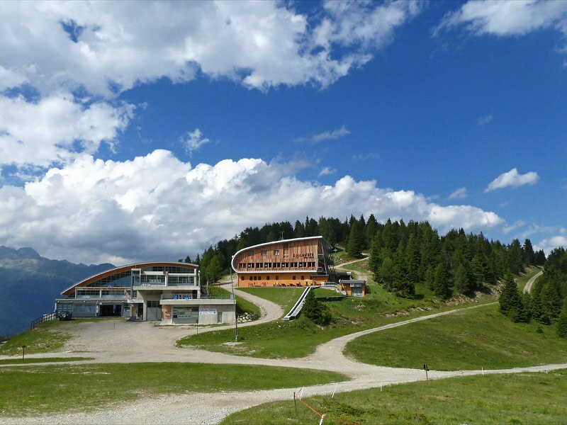
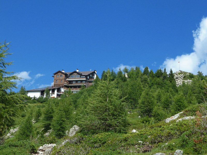
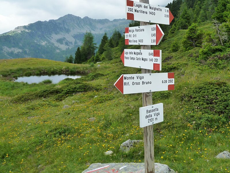
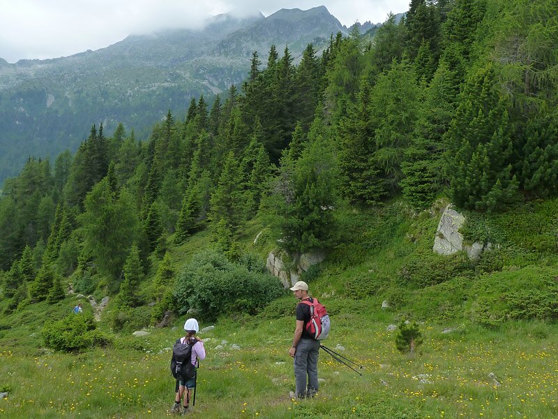
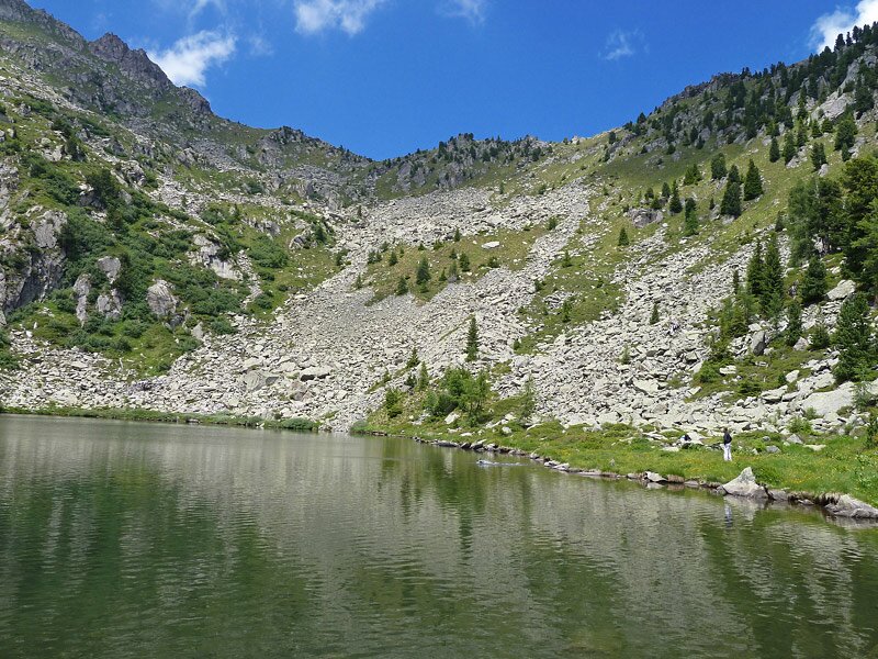
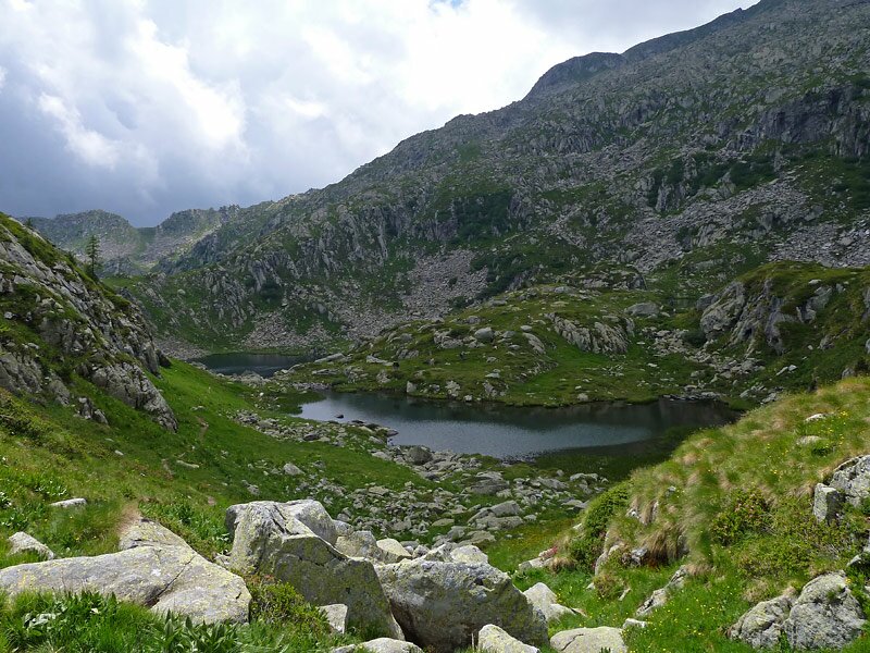
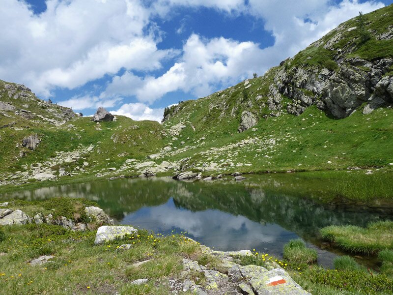
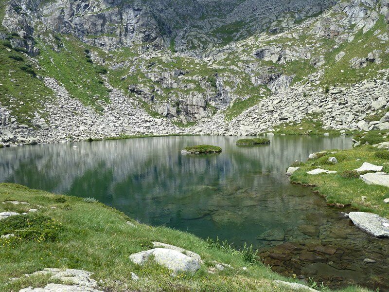
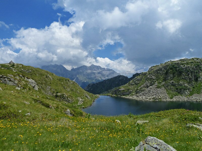
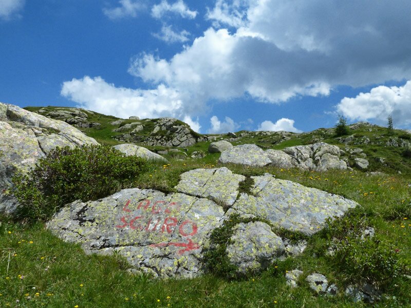
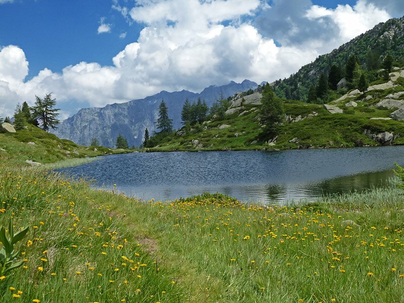
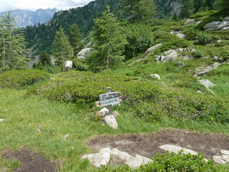

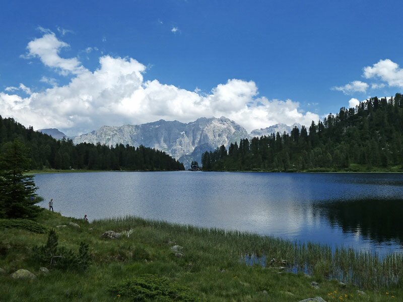
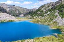
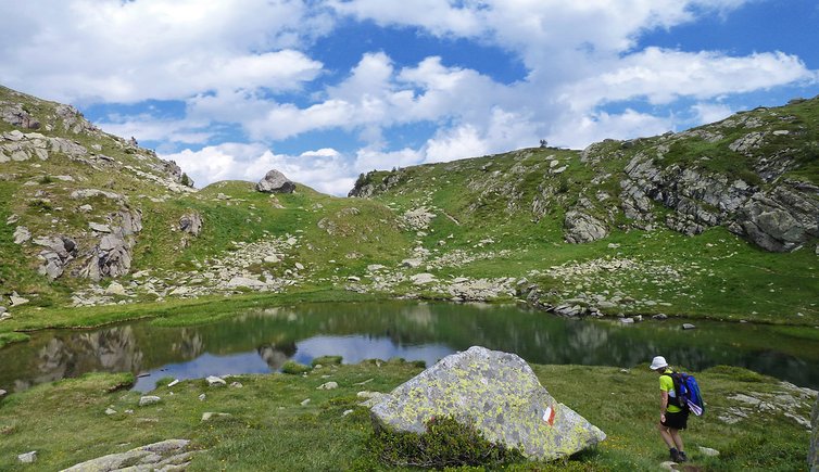
We start at the train station of Daolasa, near Commezzadura and take the modern cable car to the summit of the 2,100 m high Mount Vigo. We walk past the rifugi Solander and Orso Bruno huts and follow path no. 201 towards Lago delle Malghette. At the first junction, we branch off towards Lago Alto (signpost no. 267). This path proceeds uphill to the forest limit and to Lago Alto at 2,170 m a.s.l. Our destination lies even higher, which is why we continue to the "Tre Laghi" in the shadow of the more than 2,700 m high peaks. The water features different shades of light blue and after a break, we descend to Lago Scuro.
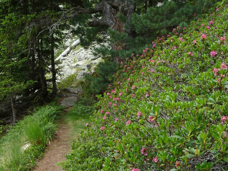
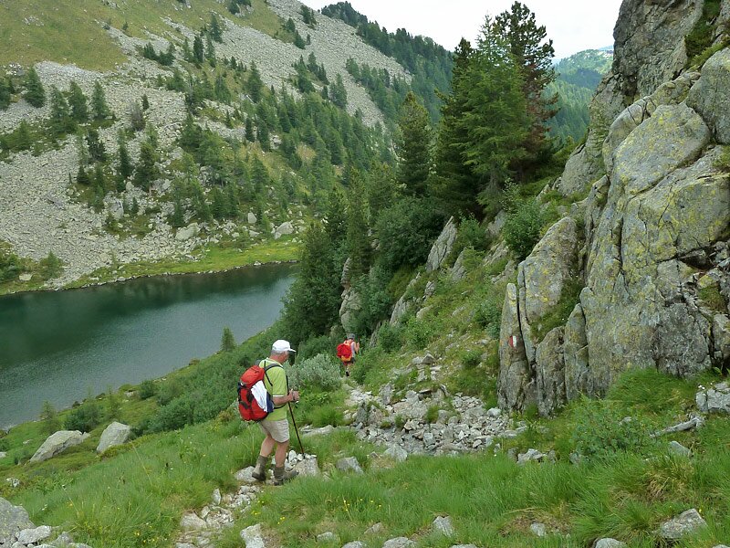
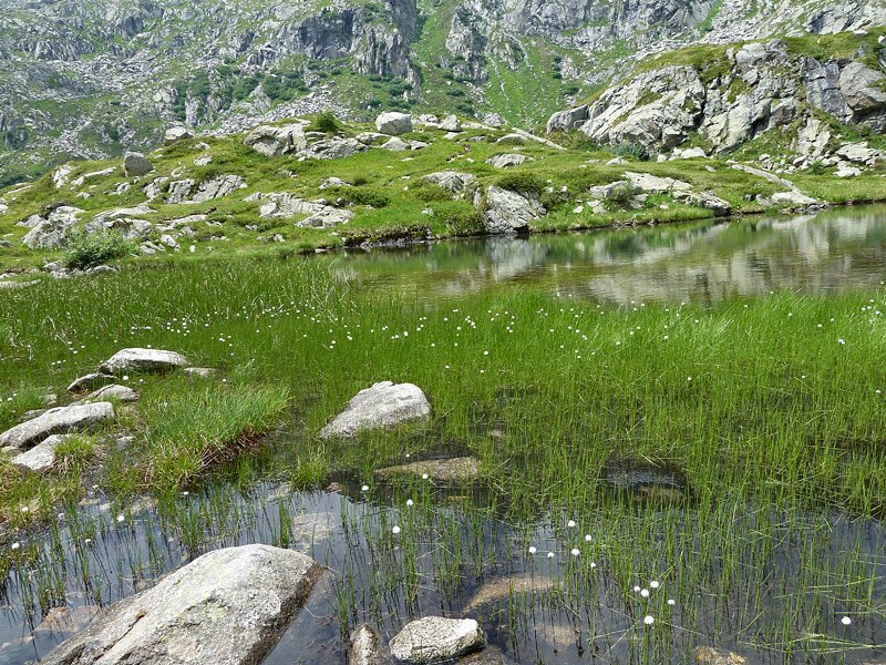
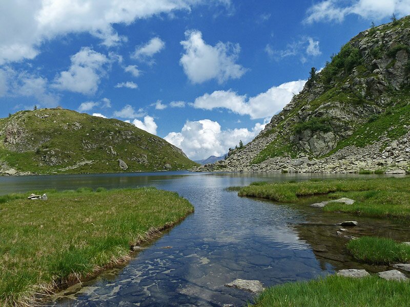
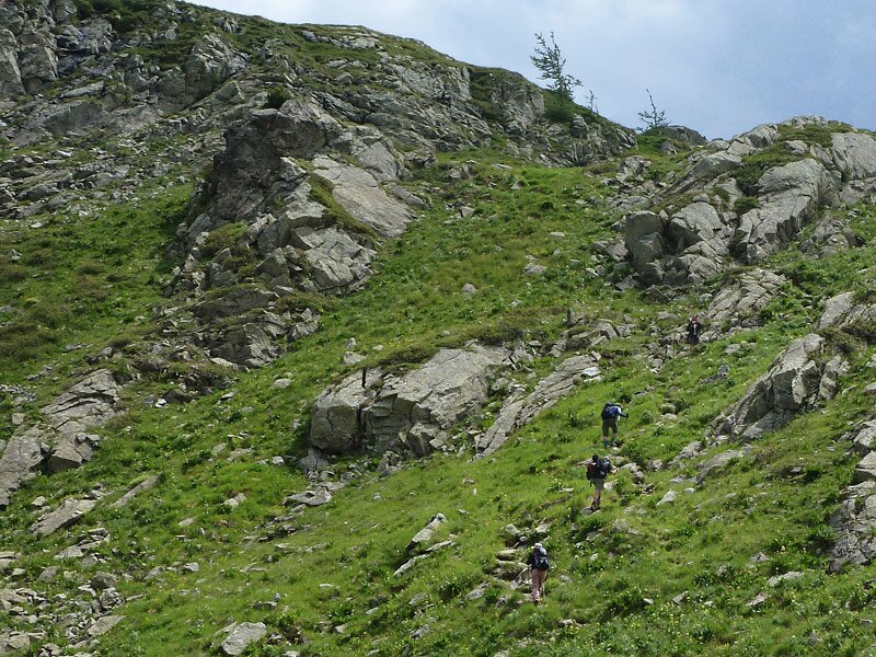
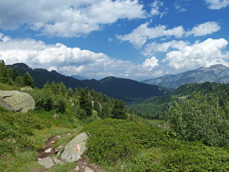
Contrary to what you might suppose, this path is not as easy as it seems. In fact, the stones hidden by the grass could make the path unstable and slippery. We descend slowly to Lago Scuro and then continue uphill through woods and across a wide, marshy pasture, to Lago delle Malghette. This one is the largest and lowest-altitude lake so far. We climb towards Monte Vigo and take the cable car back to the valley.
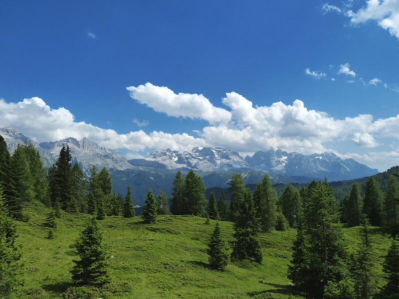
This stunning hike is characterised by an impressive nature and fantastic views of the Brenta-Dolomites.
Author: AT
-
- Starting point:
- Monte Vigo, mountain station of the Daolasa Val Mastellina Cable Car
-
- Overall time:
- 04:20 h
-
- Total route length:
- 11,8 km
-
- Altitude:
- from 1.890 m to 2.290 m
-
- Altitude difference (uphill | downhill):
- +706 m | -706 m
-
- Route:
- Rifugio Solander - Monte Vigo - Rifugio Orso Bruno - Lago Alto - Tre Laghi - Lago Scuro - Lago delle Malghette - Rifugio Malghette - Rifugio Solander
-
- Signposts:
- 201, 267, Lago Scuro, Lago Malghette, 201
-
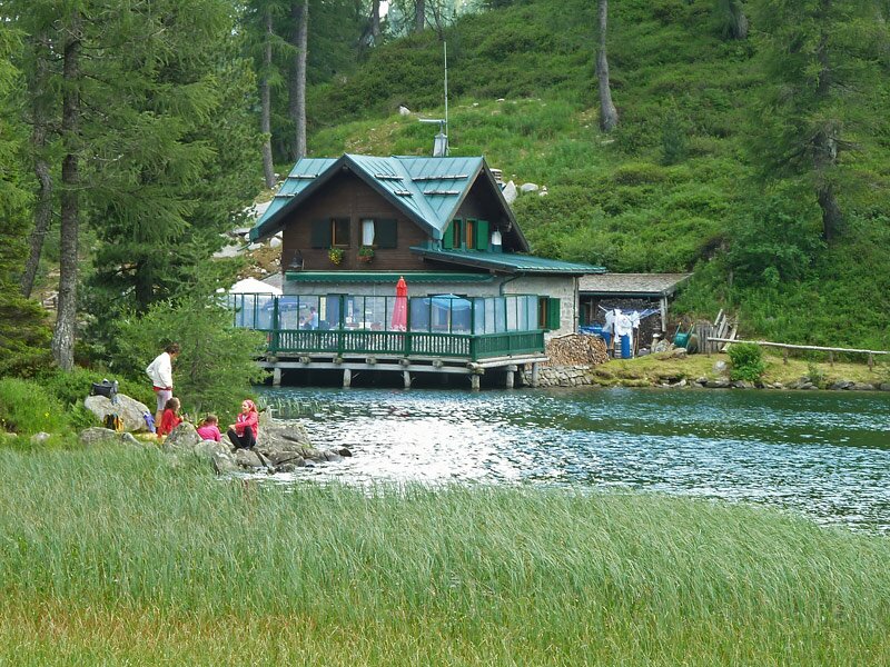
- Resting points:
- Rifugio Solander, Rifugio Orso Bruno, Rifugio Malghette
-
- Recommended time of year:
- Jan Feb Mar Apr May Jun Jul Aug Sep Oct Nov Dec
-
- Download GPX track:
- A hike to the lakes of the Malghe di Commezzadura
If you want to undertake this hike, we recommend you to check the weather and trail conditions in advance and on site before setting out.