This circular hike in the municipality of Pejo leads through the Val Venezia from Malga Mare to Rifugio Larcher on the southern face of Monte Cevedale, one of the most important peaks of the Ortles-Cevedale Group. The descent passes several alpine lakes
Image gallery: Hike to the Rifugio Larcher al Cevedale
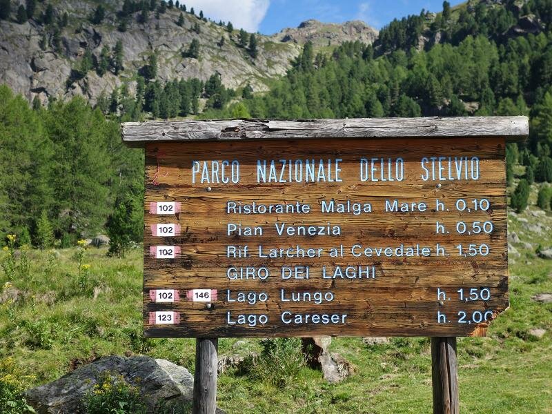
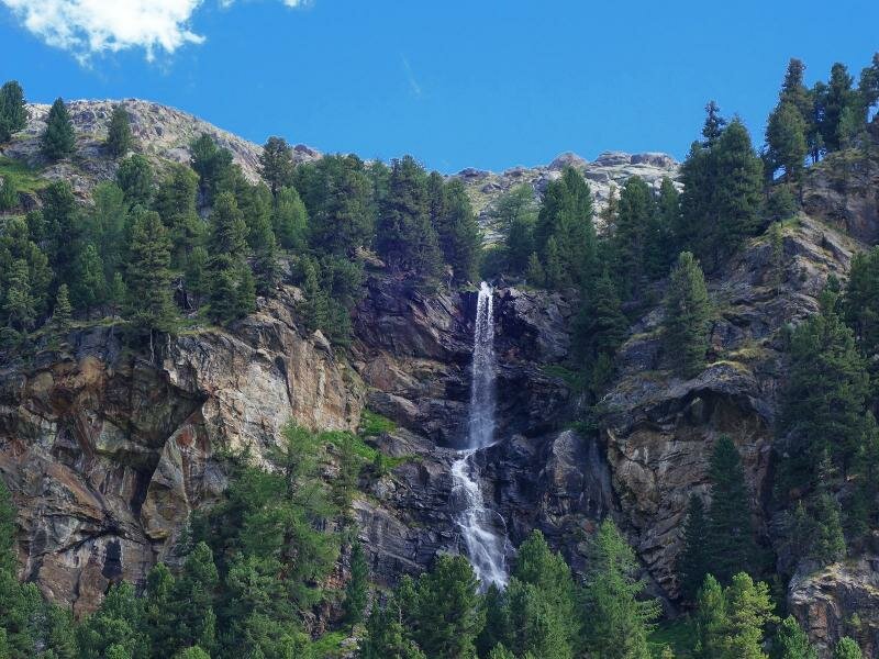
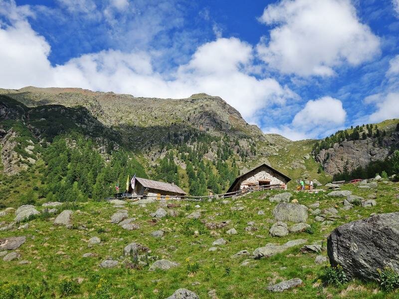
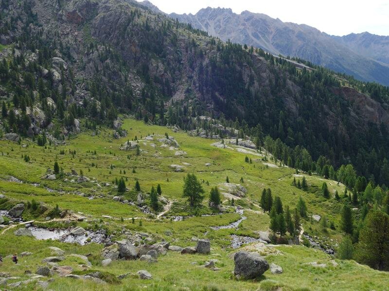

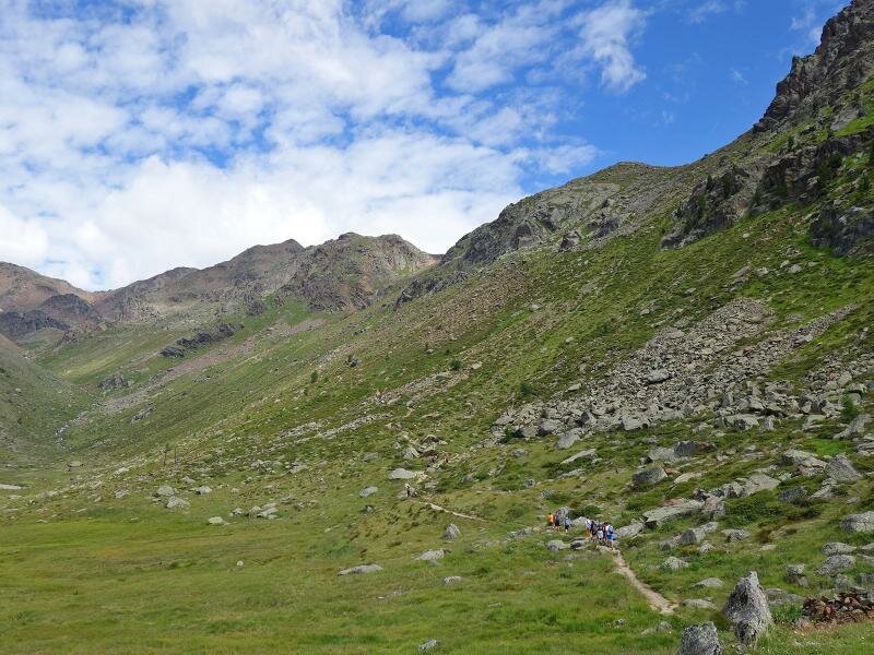
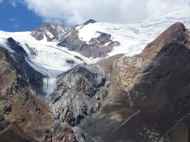
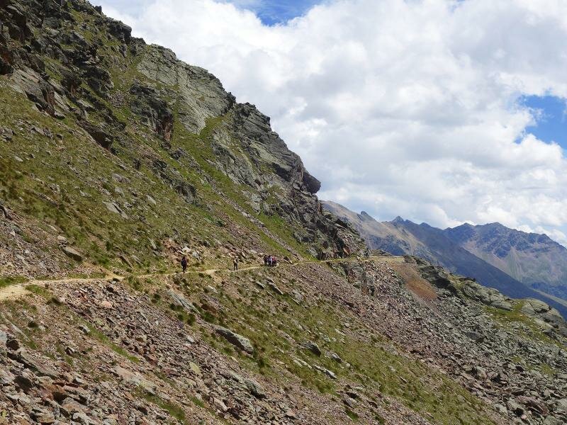
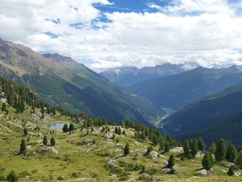
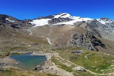
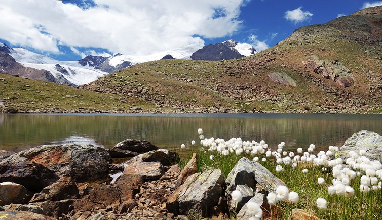
The natural beauty of this area is truly unique. Imposing rocks dominate the western slope of Monte Vioz, with its glacier walls, and the sky reflects in the clear water of alpine lakes above the forest limit. We begin our hike in the morning at the car park near Malga Prabon, heading towards Malga Mare. We pass the Cappella degli Alpini chapel and a hut and continue walking along path no. 102 to the alpine meadows "Pozza di Venezia" and the Val Venezia. This high alpine valley above the forest limit, extends to the Cevedale glacier and Cevedale II (also known as Südliche Zufallspitze).
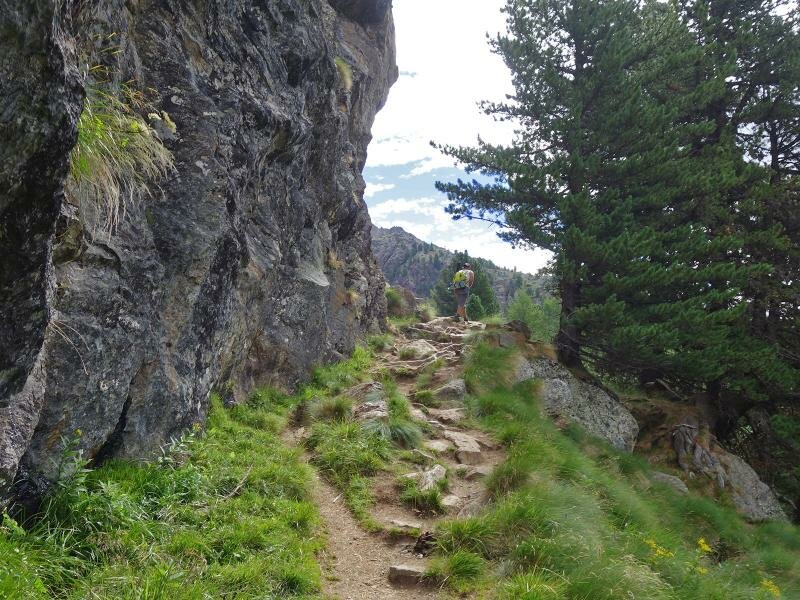
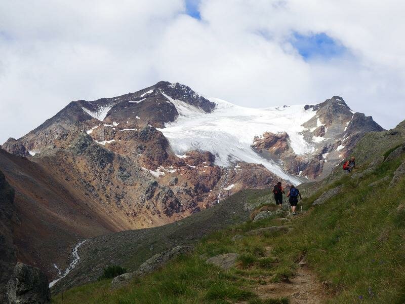
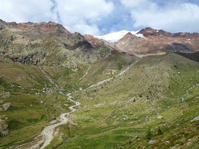
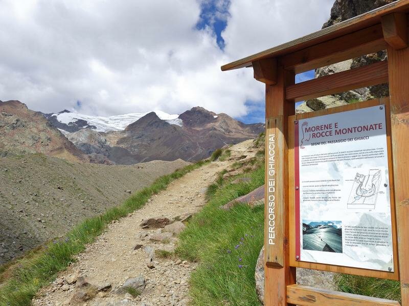
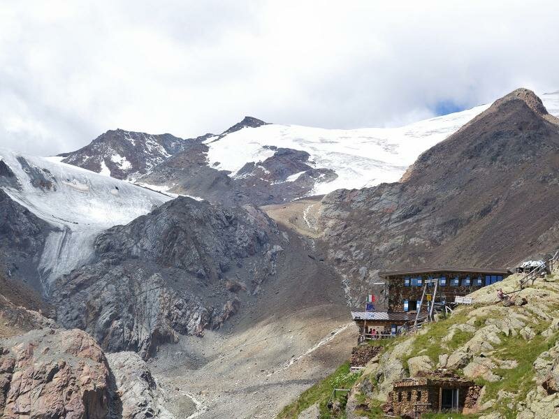
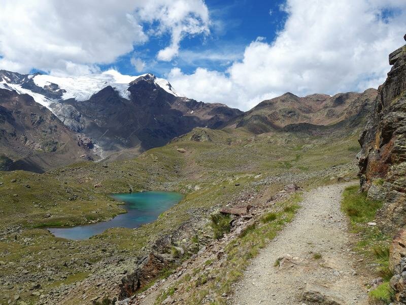
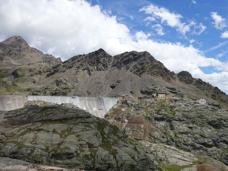
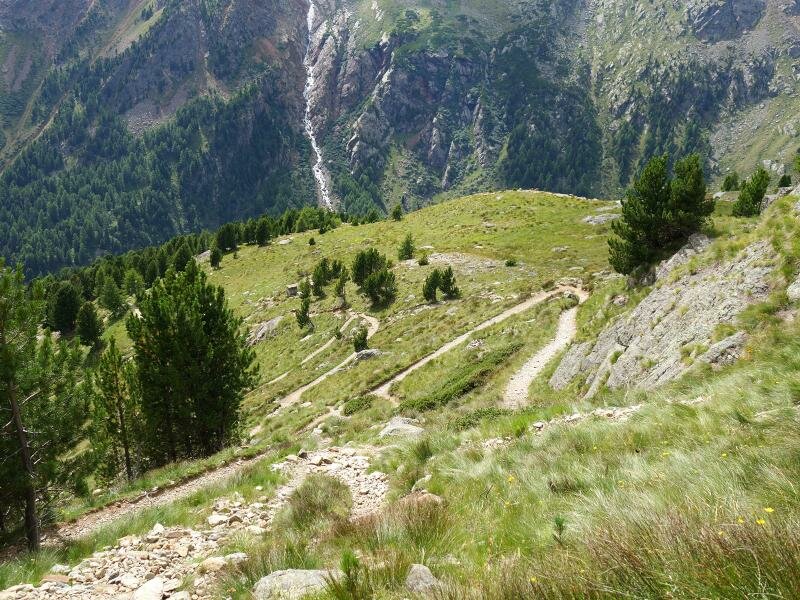
As we ascend, the distinct character of this unspoilt valley becomes more apparent: the sound of the swishing water becomes stronger, the vegetation rarer and the rock formations more striking. We arrive at Rifugio Guido Larcher on the Cevedale (at almost 2,600 m a.s.l.), where we take a break and enjoy the view of the surrounding glaciers. We proceed on path no. 104 and cover another 100 metres of ascent until Lago Marmotta.
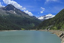
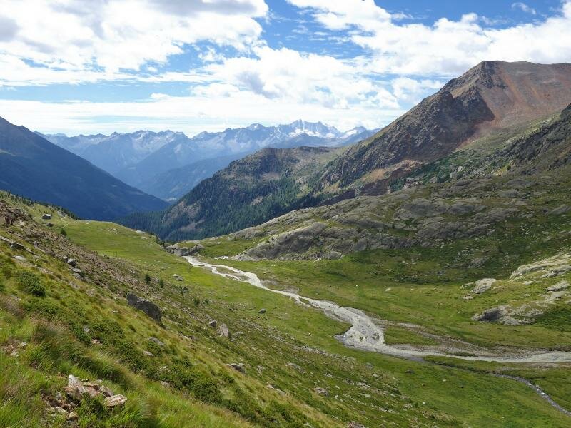
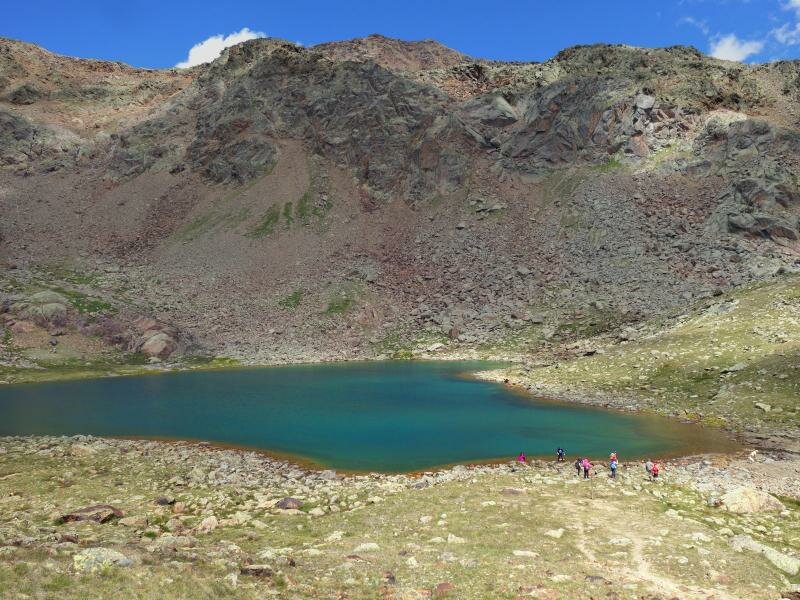
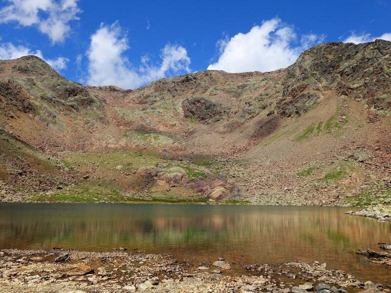
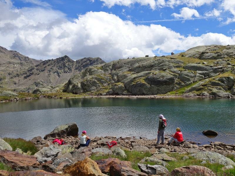
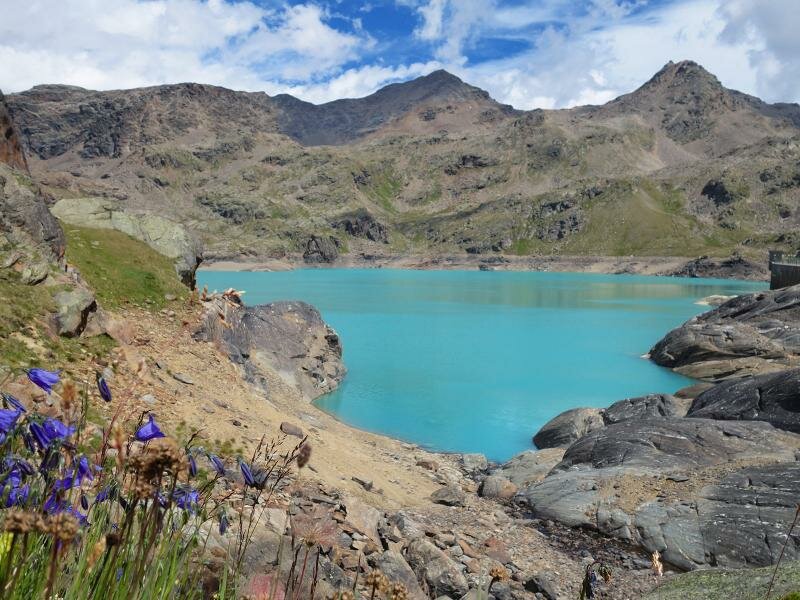
The next section of the itinerary runs at this altitude: on path no. 123 we head southwards above Lago Lungo and reach the small Lago Nero. Behind a serpentine we spot Lago di Careser, a larger lake. Our path winds along the dam of this artificial lake, whose water originates on the glaciers of Cima Venezia. We tackle a long switchback descent to the valle di Malga Mare, passing the small Lago di Lama (reachable by a short deviation on an unmarked path) before returning to Malga Prabon. Our memorable hike in the marvellous nature of the Stelvio National Park ends here.
Author: AT
-
- Starting point:
- Malga Prabon parking space
-
- Overall time:
- 06:25 h
-
- Total route length:
- 16,0 km
-
- Altitude:
- from 1.757 m to 2.715 m
-
- Altitude difference (uphill | downhill):
- +1269 m | -1269 m
-
- Route:
- Malga Prabon - Malga Mare mountain hut - Pozza di Venezia meadows - Rif. Larcher mountain hut - Lago Marmotta lake - Lago Nero - Lago di Careser lake - Malga Mare mountain hut
-
- Signposts:
- 102, 104, 123
-
- Resting points:
- Malga Mare, Rifugio Larcher
-
- Recommended time of year:
- Jan Feb Mar Apr May Jun Jul Aug Sep Oct Nov Dec
-
- Download GPX track:
- Hike to the Rifugio Larcher al Cevedale
If you want to undertake this hike, we recommend you to check the weather and trail conditions in advance and on site before setting out.