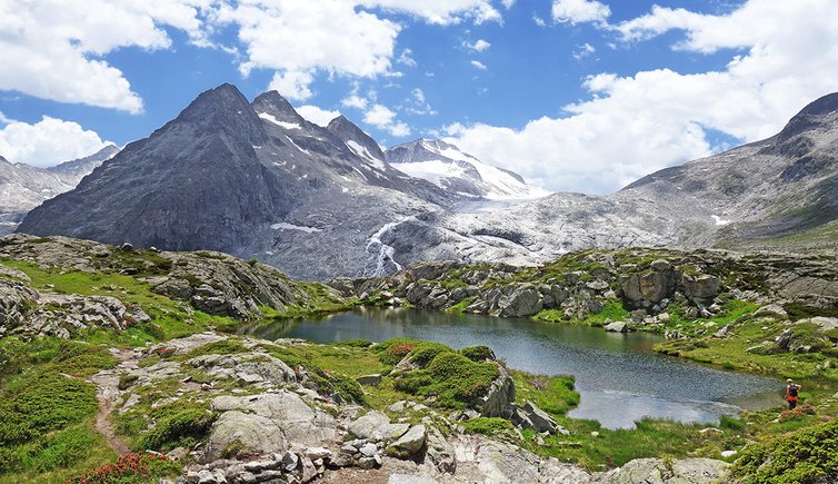
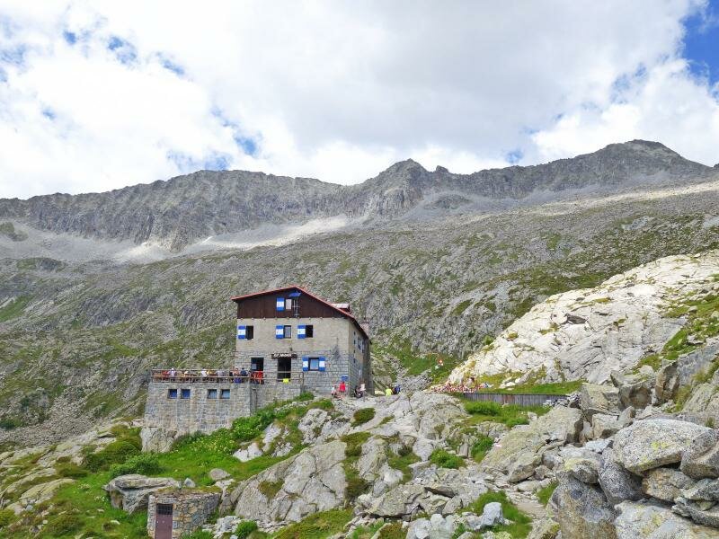
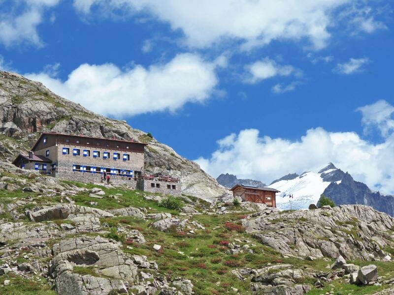
The majestic peaks of the Gruppo Adamello are reflected in numerous glacial lakes. Our hike begins at Malga Bedole at 1,584 m a.s.l. and leads to the Rifugio Città di Trento al Mandrone at 2,449 m a.s.l
Image gallery: Hike to the glacial lakes of Mt Mandrone
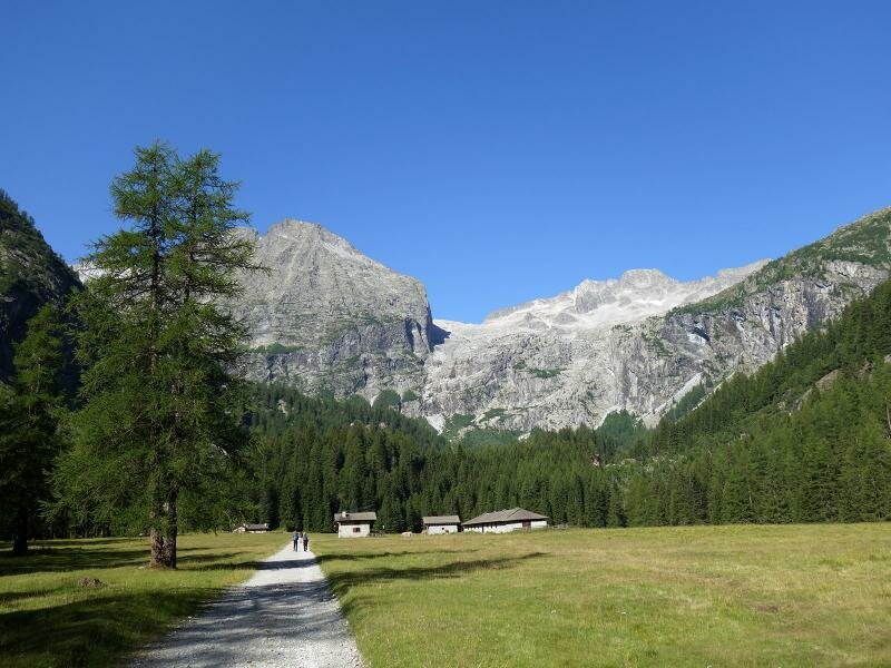

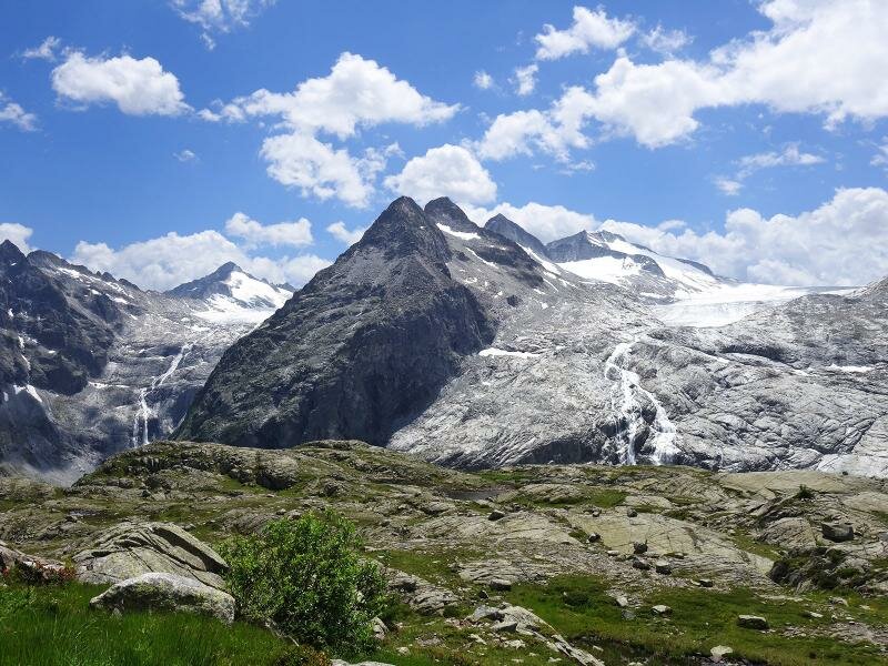
The Adamello, the largest glacier in Italy, is situated on the border between Trentino and Lombardy. We are undertaking this hike in the Val Genova with the aim of seeing this renowned glacier. Our starting point is the car park near Malga Bedole at the end of the valley, where the asphalt road ends. Access by car is limited during high season, but the nature park provides a shuttle service to visitors.
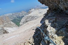
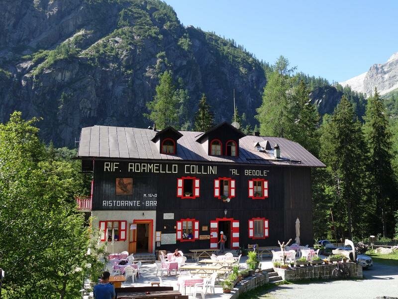
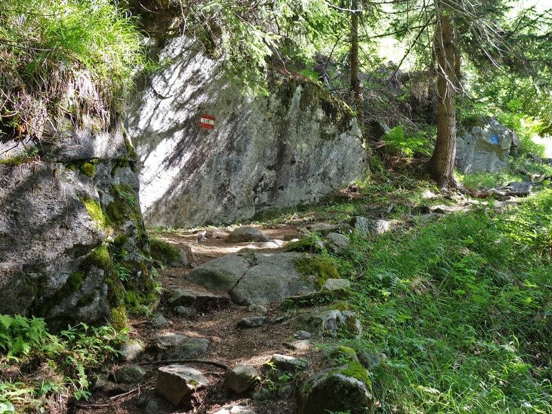
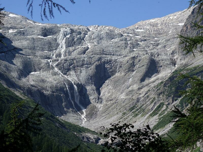
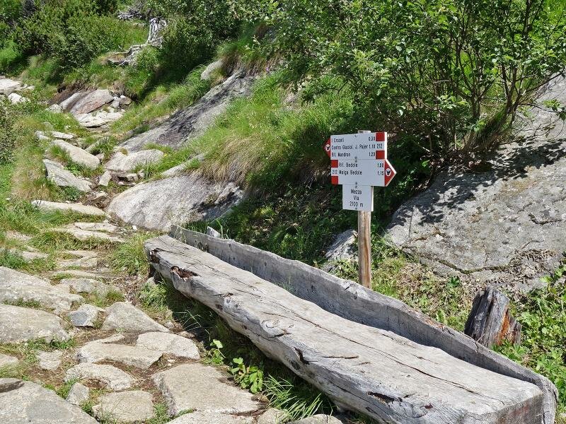
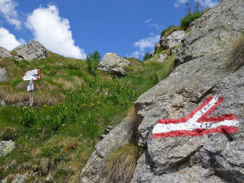
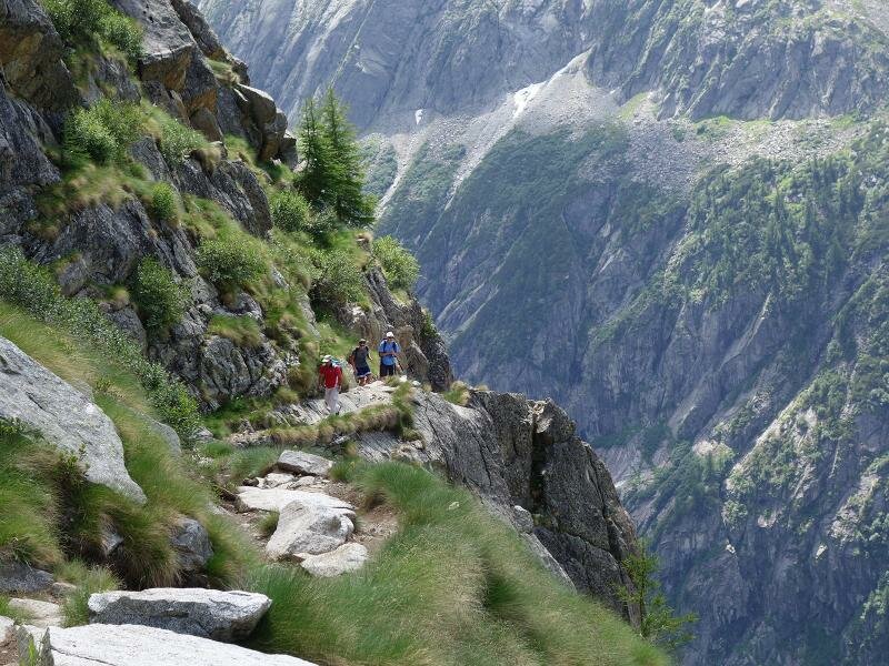
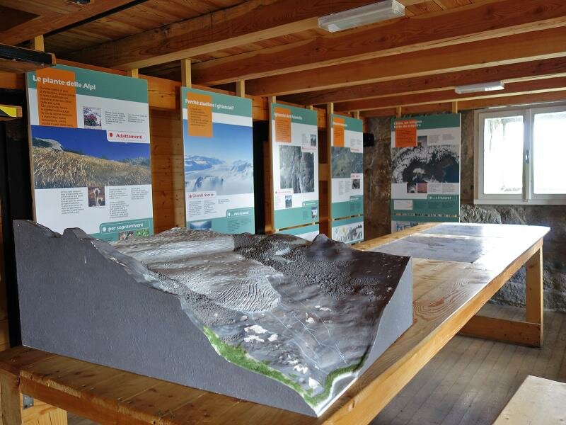
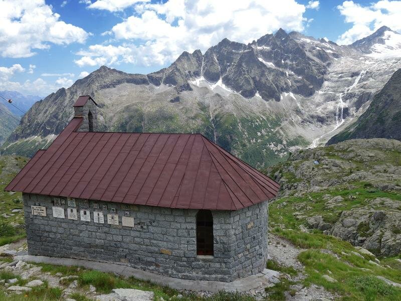
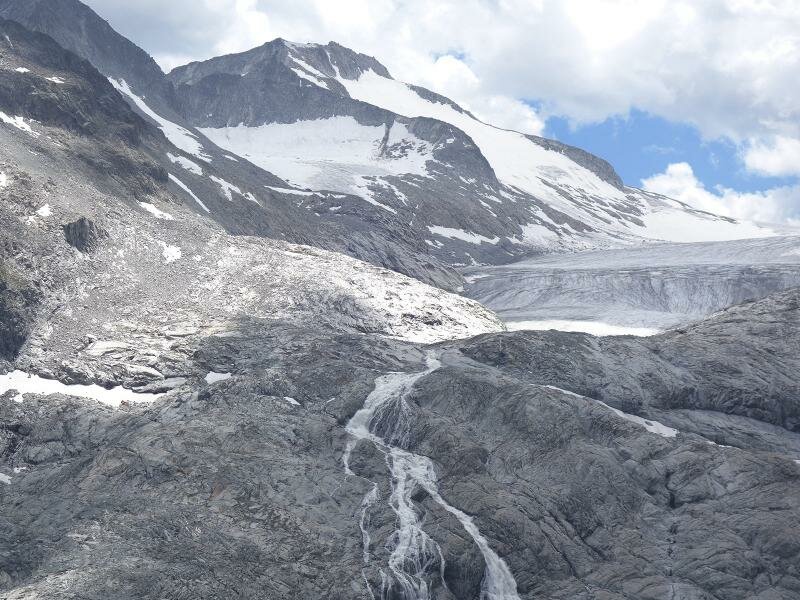
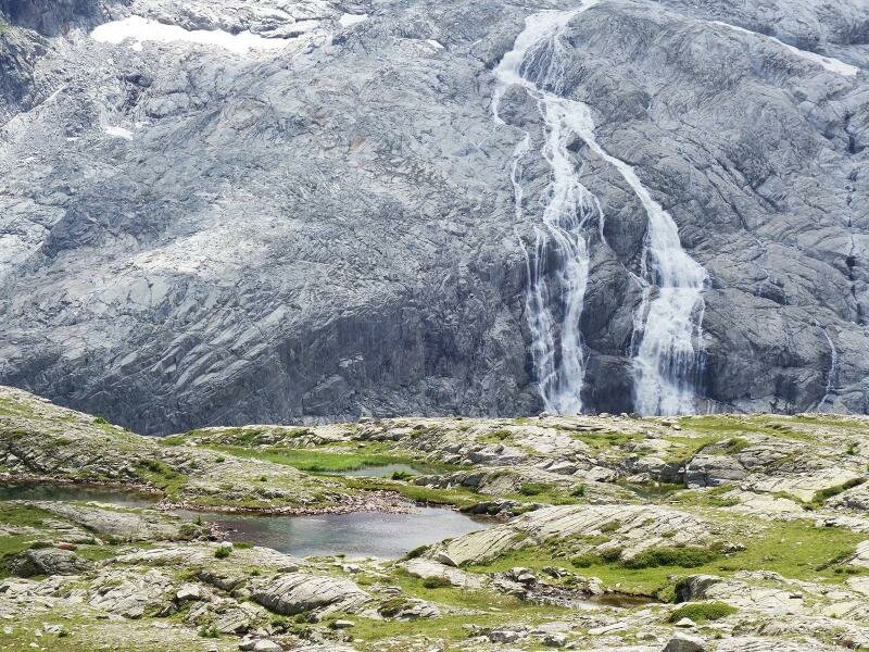
We take the forest road into the valley, past pastures, to the romantic Rifugio Bedole (a refreshment point). Here, we follow path no. 212. The itinerary is quite steep and winding, and after about an hour, we reach the forest limit. From the steep, rocky slopes, a magnificent view of the Adamello glacier with its impressive waterfalls opens up. The path then proceeds to the observatory of the Club Alpino, where we find interesting information panels on the glacier and tonalite, a magmatic rock typical of this area.
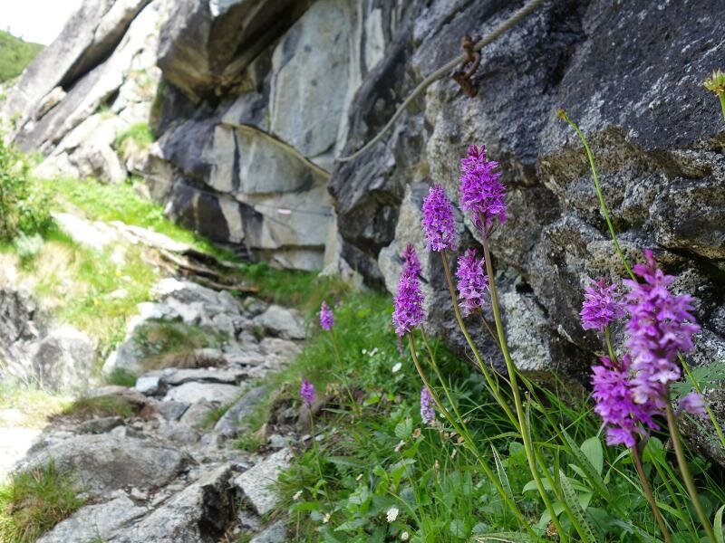
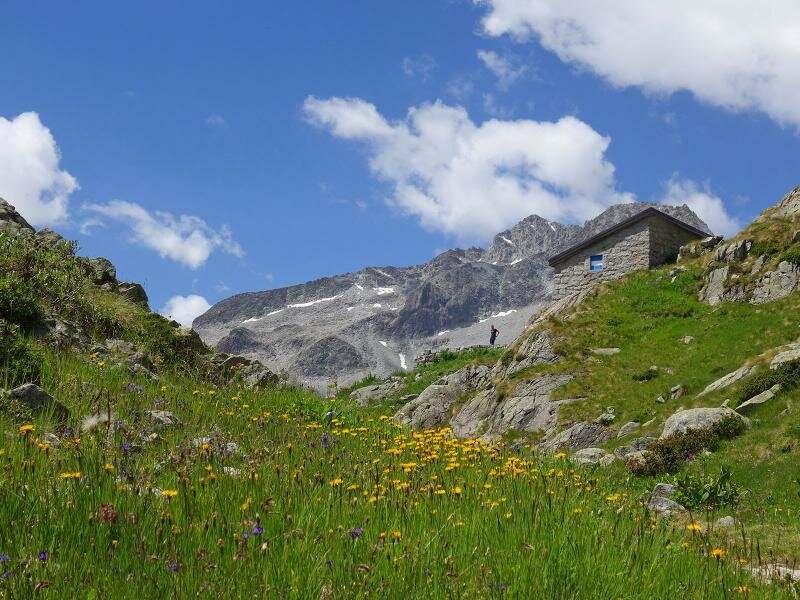
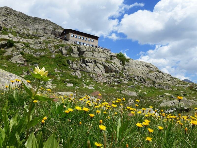
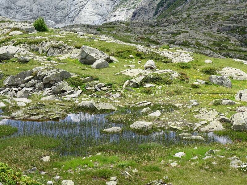
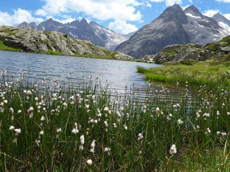
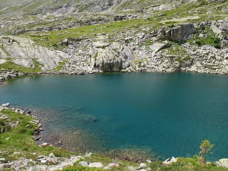
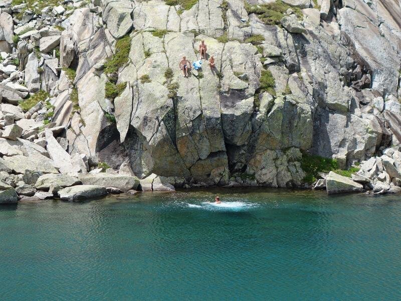
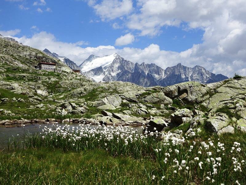
The remarkable variety of flowers is also worth mentioning and ranges from different types of orchids to spotted gentian, and to the martagon lily. We are now close to Rifugio Mandrone, where we stop for a well-deserved break. We proceed slightly downhill to the numerous lakes and ponds, formed by meltwater from the Presena Glacier. Beyond them lies the large Lago Mandron, a lake standing out like a light-blue eye in a rock-dominated landscape. We return on the same path.
- In high season, access to the car park at Malga Bedole (starting point) by private car is restricted, but there are shuttle buses, which take you from Ponte Verde at the entrance of the valley to Malga Bedole. For further information, call the Adamello Brenta Nature Park (phone: +39 0465 806666).
Author: AT
-
- Starting point:
- parking space at the Malga Bedole in the Val di Genova valley (subject to a fee)
-
- Overall time:
- 04:50 h
-
- Total route length:
- 11,6 km
-
- Altitude:
- from 1.584 m to 2.431 m
-
- Altitude difference (uphill | downhill):
- +912 m | -912 m
-
- Signposts:
- 212, 236
-
- Destination:
- Rifugio Città di Trento al Mandron mountain hut, glacier lakes
-
- Resting points:
- Rifugio Adamello, Rifugio Mandrone (mountain hut)
-
- Recommended time of year:
- Jan Feb Mar Apr May Jun Jul Aug Sep Oct Nov Dec
-
- Download GPX track:
- Hike to the glacial lakes of Mt Mandrone
If you want to undertake this hike, we recommend you to check the weather and trail conditions in advance and on site before setting out.