A beautiful hiking tour takes us from Andalo to Rifugio Pedrotti, across the wonderful Brenta Dolomites
Image gallery: Hike to Rifugio Pedrotti
In summer, the mountains always make us feel unforgettable emotions. On a Sunday in late July, we undertake this hike from Andalo to Rifugio Pedrotti, a mountain hut embedded in the heart of the stunning Brenta Dolomites. The route is quite long and requires a good level of physical fitness.
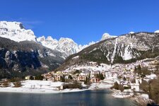
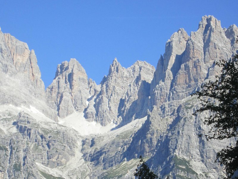
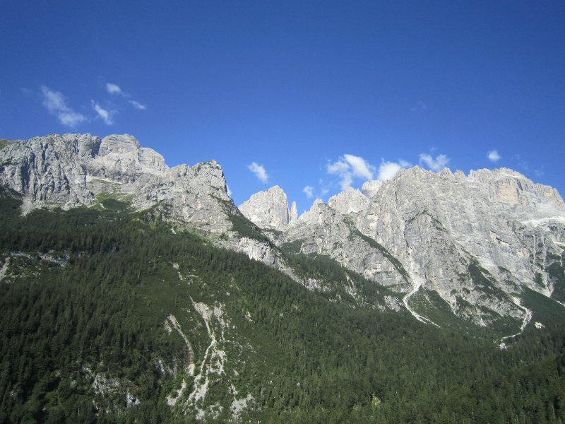
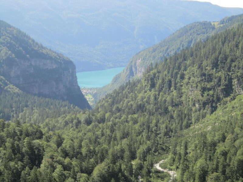
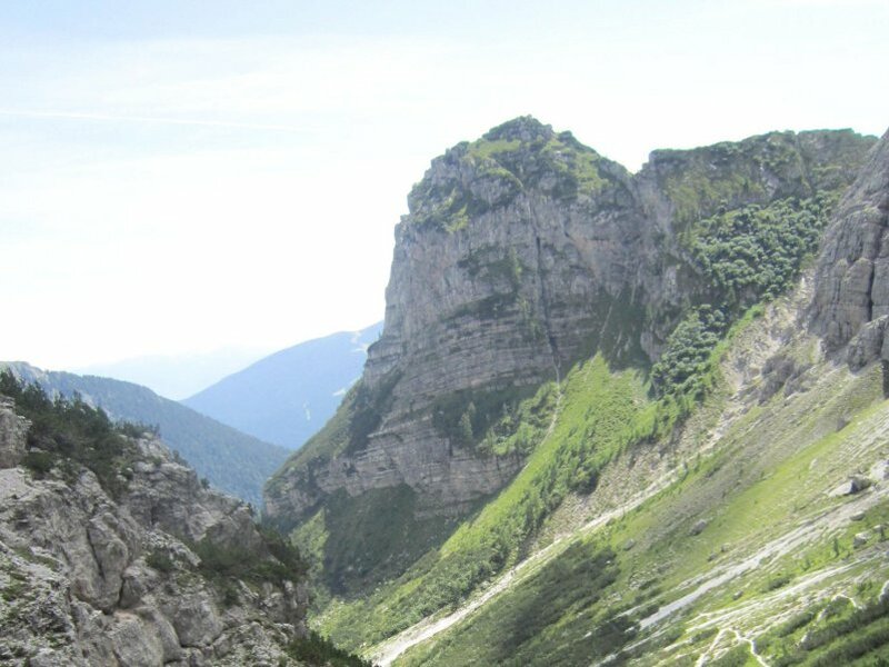
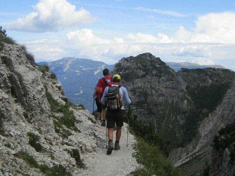
Arrived in Andalo, we park our car outside the village at the car park Val Biole, part of the Parco Naturale Adamello Brenta. Then, we walk towards the Altopiano di Pradel at 1,320 m a.s.l., reachable also by cable car from Molveno. We pass the mountain station of the cable car following the signposts for path SAT 340 leading to Rifugio Croz dell'Altissimo (1,430 m a.s.l.). The initial section of the path is quite flat and enters the forest where it turns into an route carved in the rock, which runs along some exposed sections high above the Valle delle Seghe and delights us with wonderful panoramic views. The view of the Brenta Dolomites is truly breathtaking!
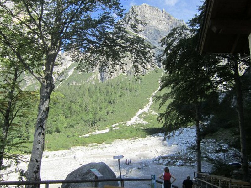
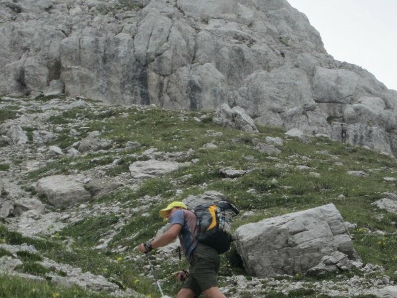
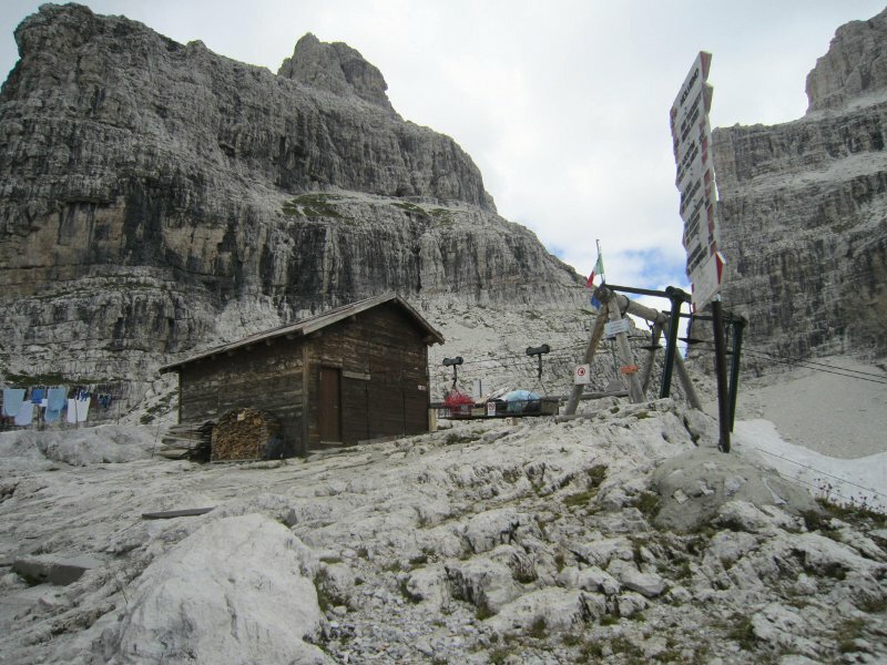
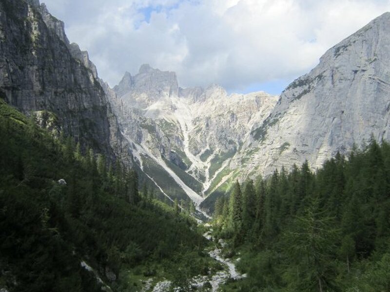
After about an hour and a half, we arrive at Rifugio Croz dell'Altissimo, situated beneath the rock walls of the eponymous peak. Then, we continue along path no. 340 which in this section crosses the Valle delle Seghe and the Valle del Rio Massodi. After about 30 minutes we reach Rifugio Selvata. This part of the path is not particularly difficult, however, it presents some exposed spots and is devoid from vegetation. At Rifugio Selvata we take a lunch break and relax. Past the mountain hut, we take path SAT 319 towards Rifugio Pedrotti, our final destination. The first section is characterised by switchbacks across a boulder field. Then, our itinerary proceeds over rocky steps, with the cool water of the Rio Massodi flowing nearby.
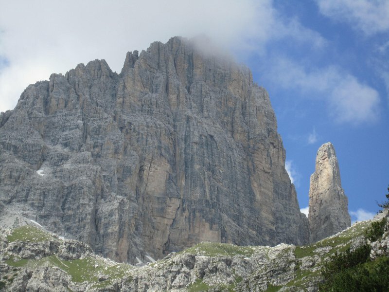
We continue our climb to an altitude of 1,968 m a.s.l. where we see the Baita Massodi, from there Rifugio Pedrotti is visible. Be aware of the distances, as the mountain hut appears much closer than it actually is. In fact, from here, it takes another hour and a half to reach your destination. We continue on the path and arrive at Laghetto di Massodi (a lake drained since a long time) and the surrounding panorama is simply wonderful, showing us the Brenta Bassa, the Brenta Alta, the Campanile Alto, the Campanile Basso and the Torre del Brenta.
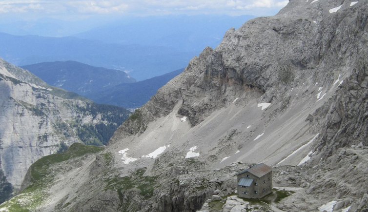
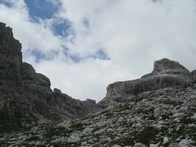
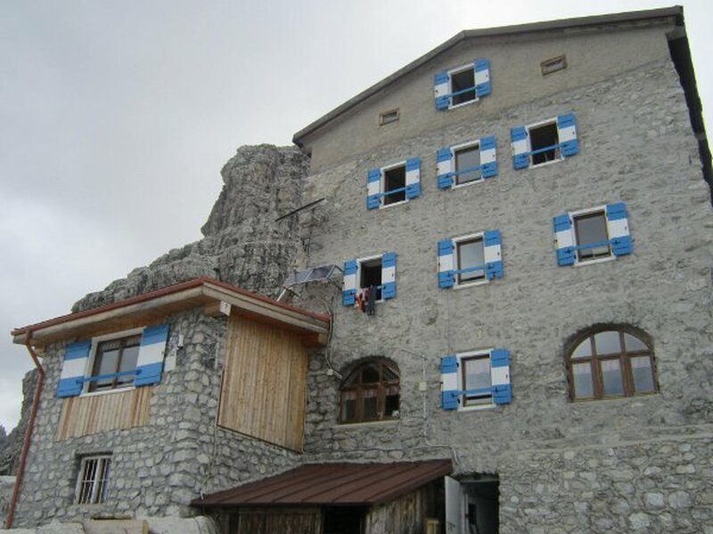
After a relatively flat section, the path proceeds uphill again, first to Rifugio Tosa (2,439 m), then to Rifugio Pedrotti (2,491 m). Once at our final destination, we have lunch, relax and enjoy the marvellous view of the mountains before us. We return on the same path. This very suggestive hike is not difficult and the only thing you should keep in mind is its length.
At Rifugio Pedrotti, it is possible to stay overnight, and it is an ideal starting point for numerous hikes in the Gruppo del Brenta. We recommend wearing appropriate clothing and footwear, using hiking poles and carrying warm clothes for the higher altitudes.
Attention: Due to works, the mountain hut Rifugio Tosa Pedretti will be completely closed to the public from summer 2025.
Author: EC
If you want to undertake this mountain tour, please check the current local conditions beforehand!
Starting point: Andalo, parking space of the Parco Naturale Adamello Brenta
Signposts: SAT 340, SAT 319 (currently not accessible)
Walking time: 4 - 5 hours
Elevation gain: approx. 1,200 m
Altitude level: between 1,100 and 2,491 m asl
Experienced in: July 2011