From Faedo we hike to Lago Santo in the Val di Cembra
Image gallery: Hike from Faedo to Lago Santo
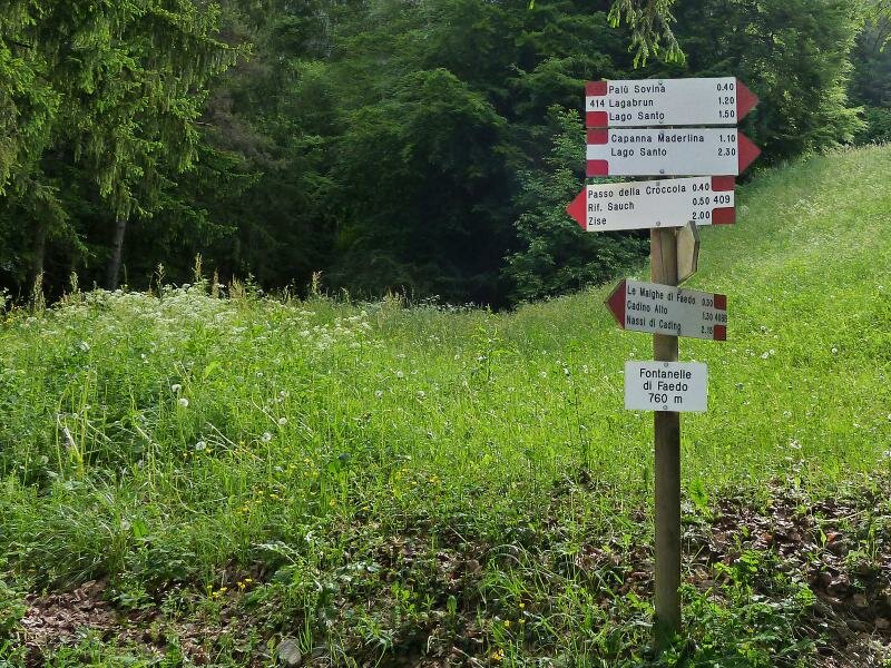
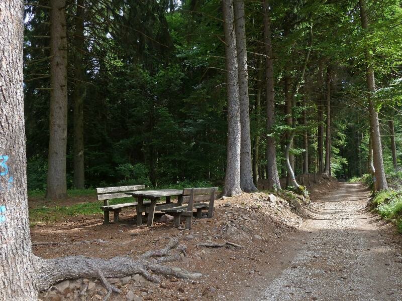
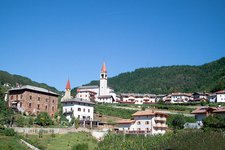
Faedo is situated on the eastern side of the Piana Rotaliana overlooking the province of Trento from north. Surrounded by vineyards, Faedo offers an extensive view over the Valle dell'Adige and the entrance of the Val di Non. Our starting point is the hamlet of Pineta di Faedo, slightly above the village of Faedo. At the outdoor sports centre "Fontanelle" (at 760 m a.s.l. at the car park) we take the forest road towards "Passo Sauch", following signpost no. 409.
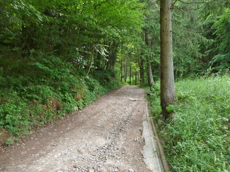
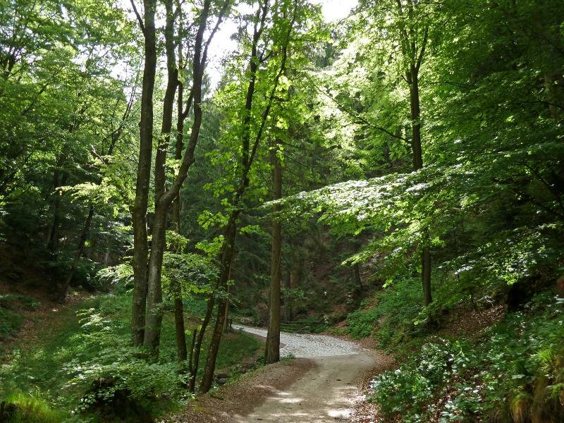
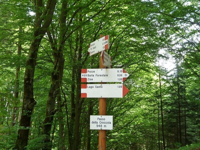
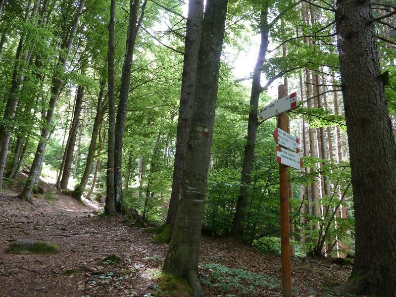
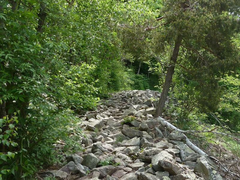
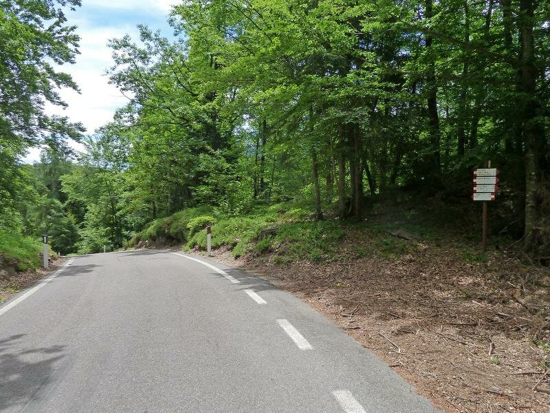
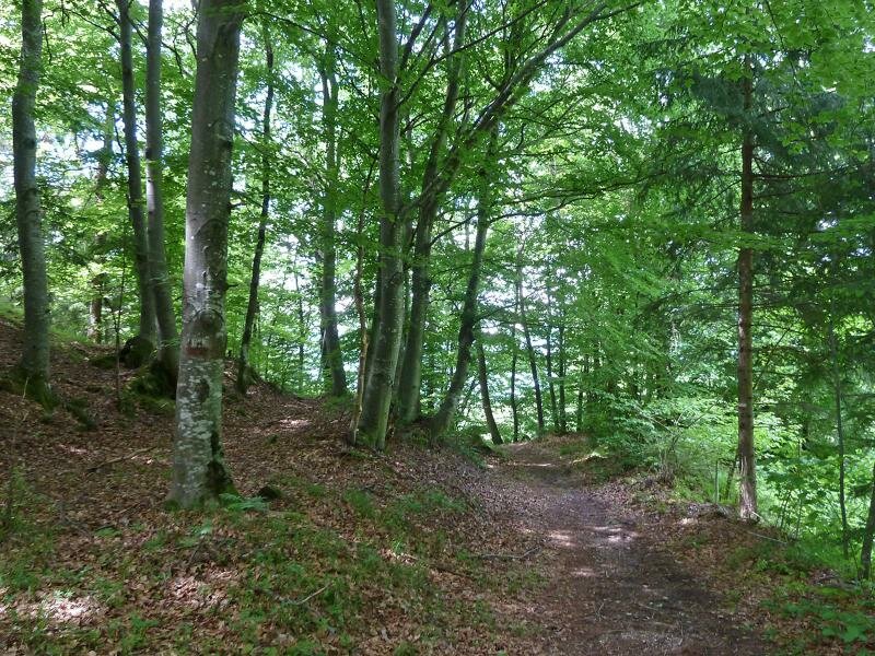
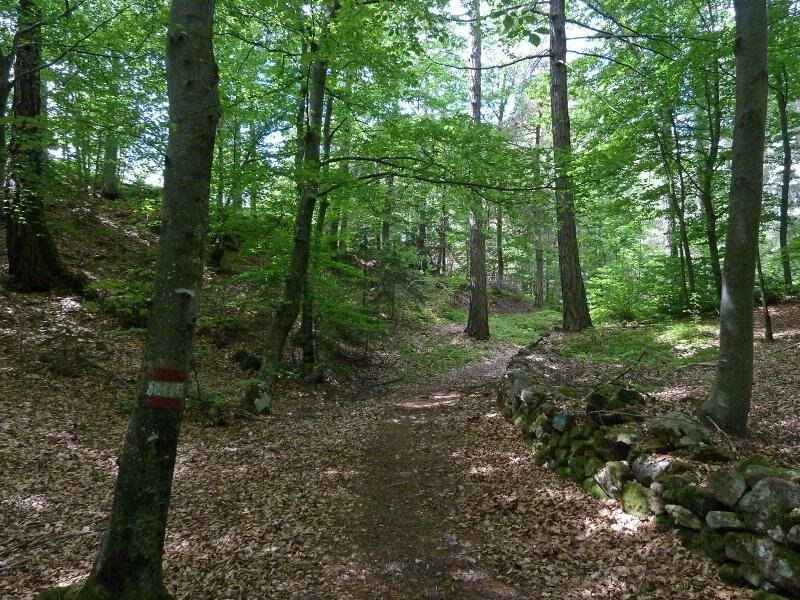
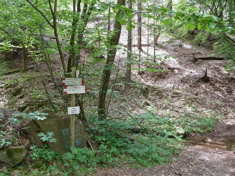
The road comfortably ascends to the Passo della Croccola. At the crossroads different paths meet: path no. 409B leads to Rifugio Sauch, a refreshment point, in a 10-minute walk. However, we take path no. 409, branching off eastwards, and follow it towards "Lago Santo". Initially, this path is easily walkable but then it gets steeper and the final section (signpost no. 414) before the lake is very stony.
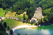
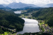
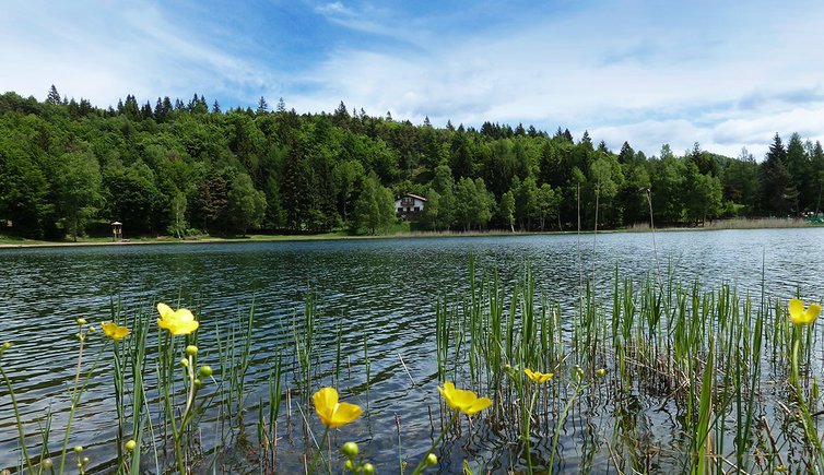
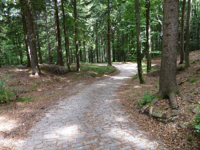
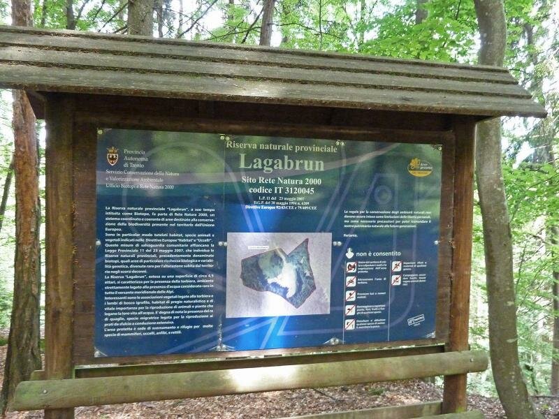
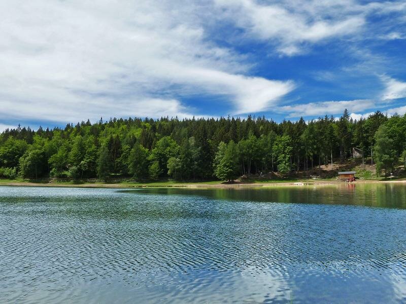
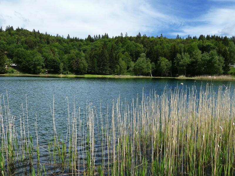
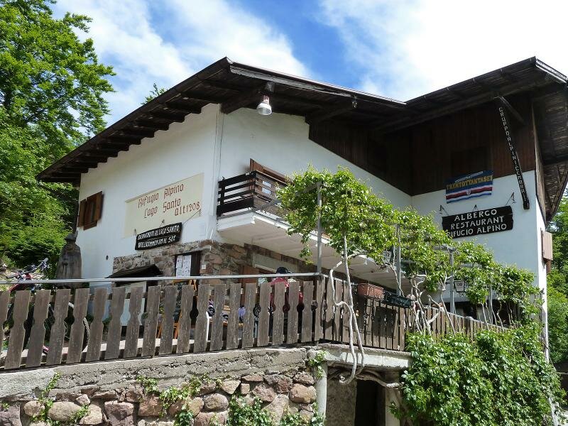
In less than two hours we have reached our final destination, the stunning lake at 1,200 m a.s.l. After a break at the mountain hut, we walk around the lake. On our way back we take the asphalt road and then follow path no. 414 to the Lagabrun biotope. This track takes us directly back to the starting point in Pineta di Faedo.
Date of the hike: 25 May 2015
Last updated in: 2026
Author: AT
-
- Starting point:
- Faedo (sports ground Fontanelle)
-
- Overall time:
- 03:10 h
-
- Total route length:
- 10,6 km
-
- Altitude:
- from 765 m to 1.218 m
-
- Altitude difference (uphill | downhill):
- +510 m | -492 m
-
- Route:
- Faedo - Rifugio Sauch - Lago Santo - Faedo
-
- Signposts:
- 409, 414
-
- Destination:
- Lago Santo
-
- Resting points:
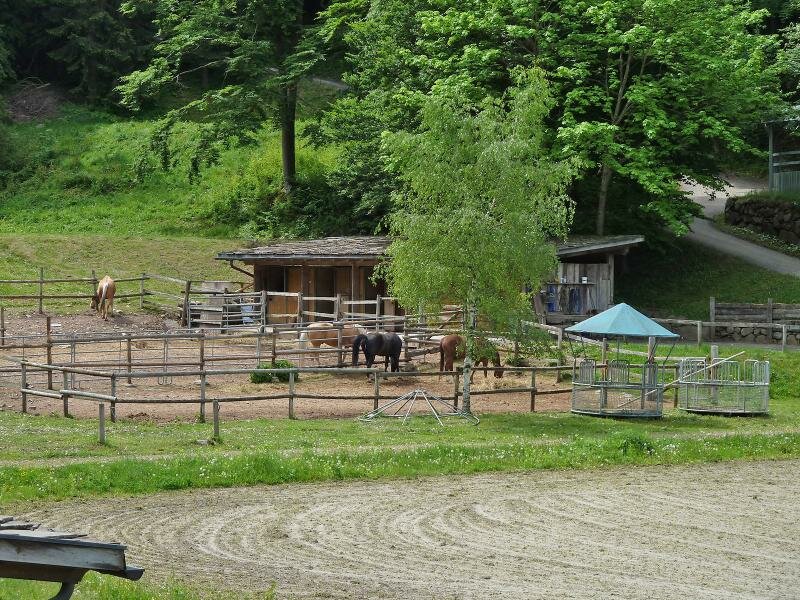
- Rif. Sauch, Happy Ranch, Rifugio Lago Santo
-
- Recommended time of year:
- Jan Feb Mar Apr May Jun Jul Aug Sep Oct Nov Dec
-
- Download GPX track:
- Hike from Faedo to Lago Santo
If you want to undertake this hike, we recommend checking the weather and trail conditions in advance and on site before starting this hike!