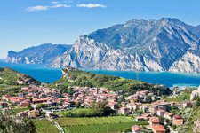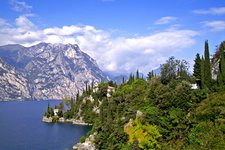
Monte Altissimo di Nago in the Monte Baldo group overlooks the landscape of the northern part of Lake Garda and is an ideal destination for a late spring hike
Image gallery: Hike to Mt Altissimo di Nago on Mt Baldo
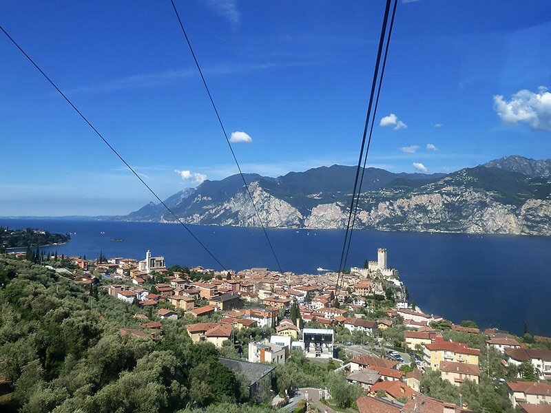
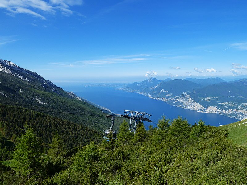
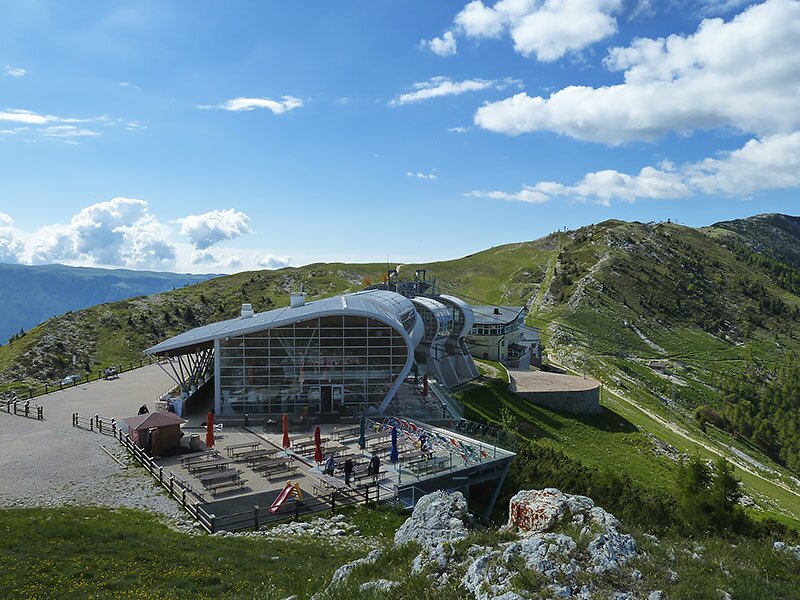
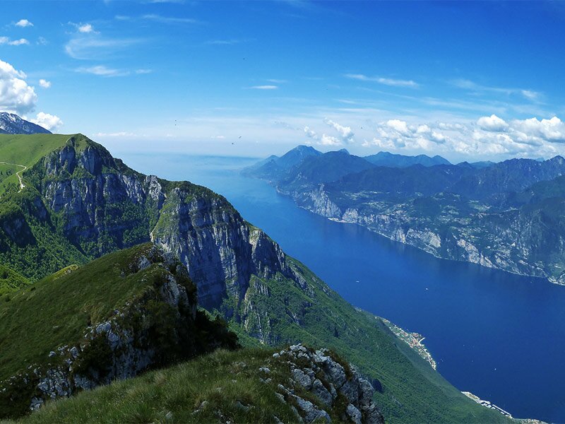
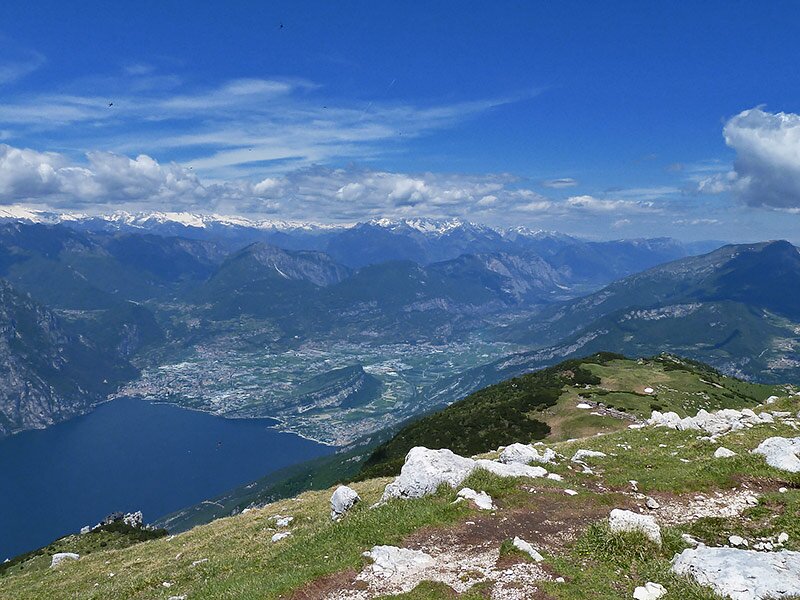
In early June we undertake an easy but quite demanding and rather long hike. From Malcesine we take the panoramic cable car of Monte Baldo which takes us up to an altitude of 1,700 m a.s.l. with a change at the intermediate station. The higher we get, the better the view of Lago di Garda.
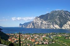
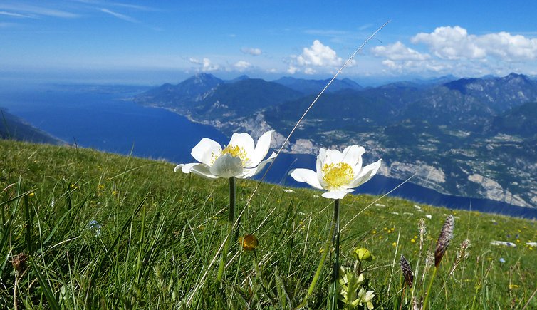
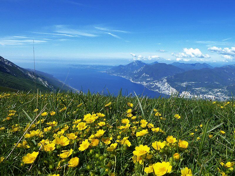
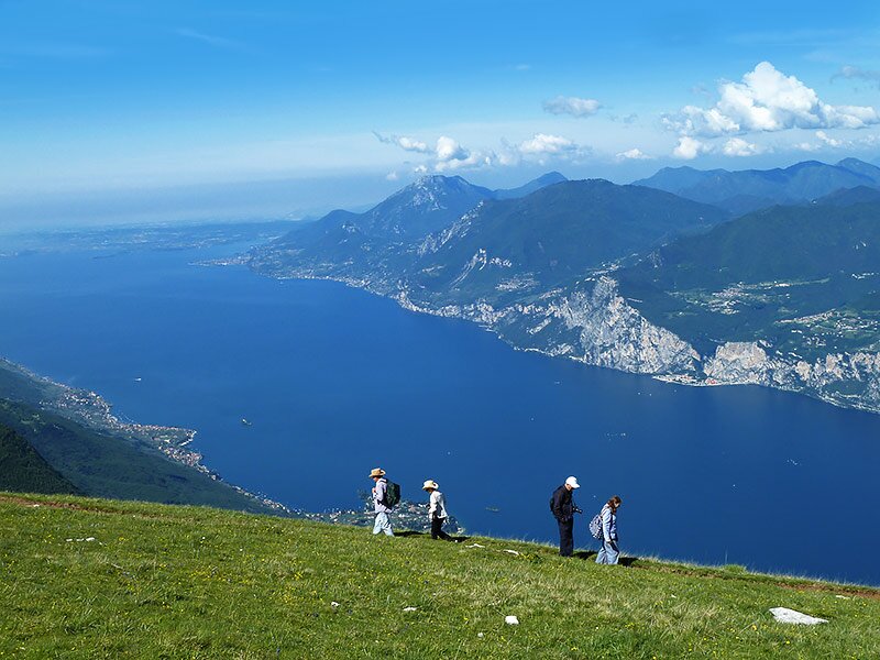
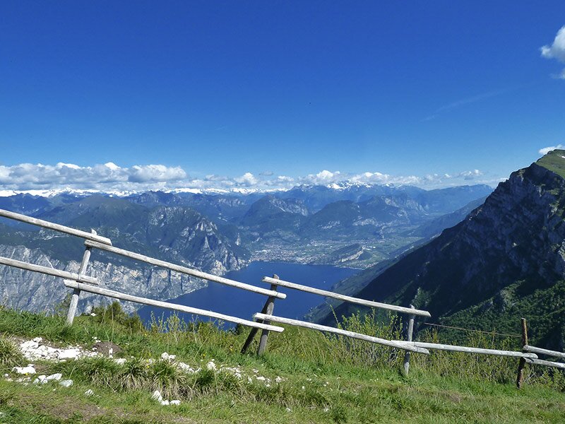
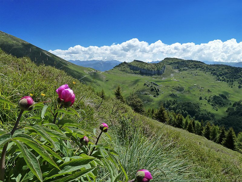
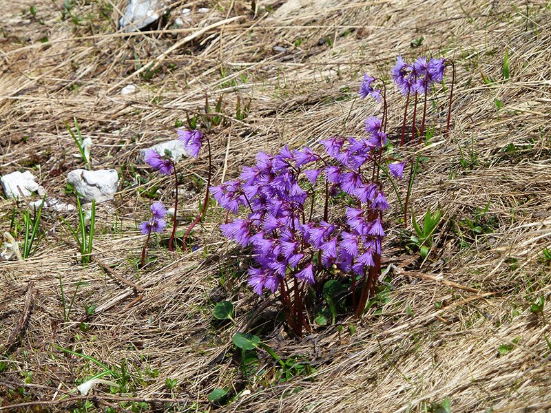
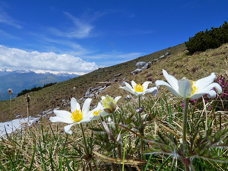
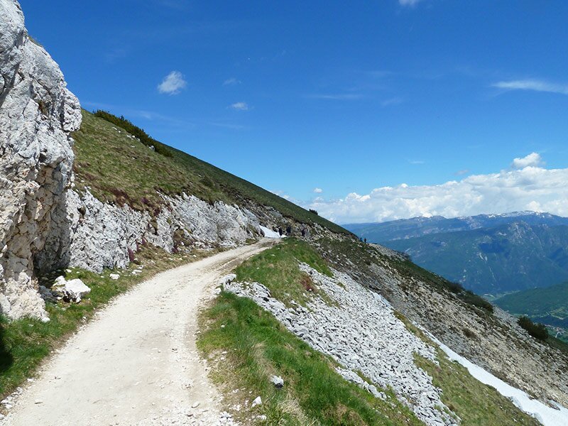
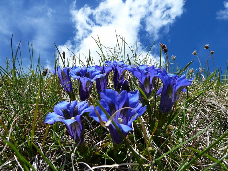
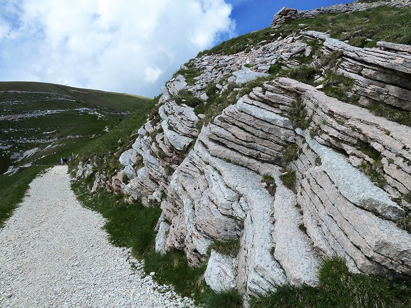
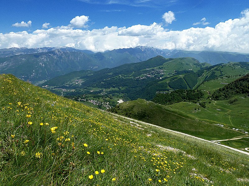
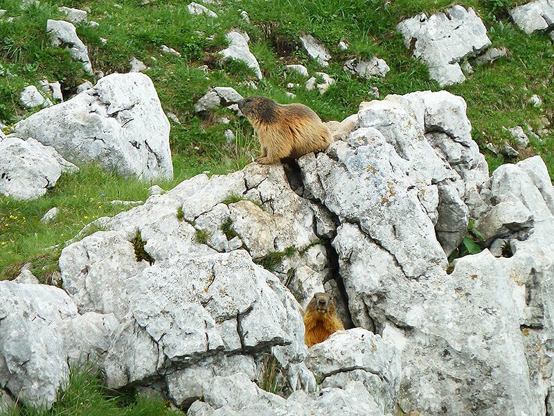
At the mountain station we start our hike. The path leading northwards crosses an extensive meadow offering a beautiful panoramic view of Benaco. From here we can admire the Pianura Padana plain and the snow-covered peaks of the Adamello glacier. The meadows are covered with colourful anemones, gentian, buttercup and cinquefoil. We descend along the path to the Bocca di Navene restaurant.
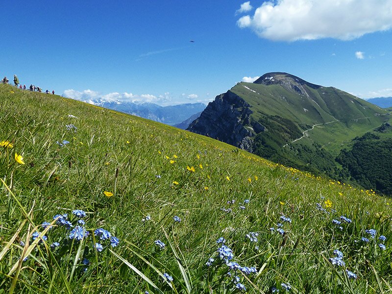
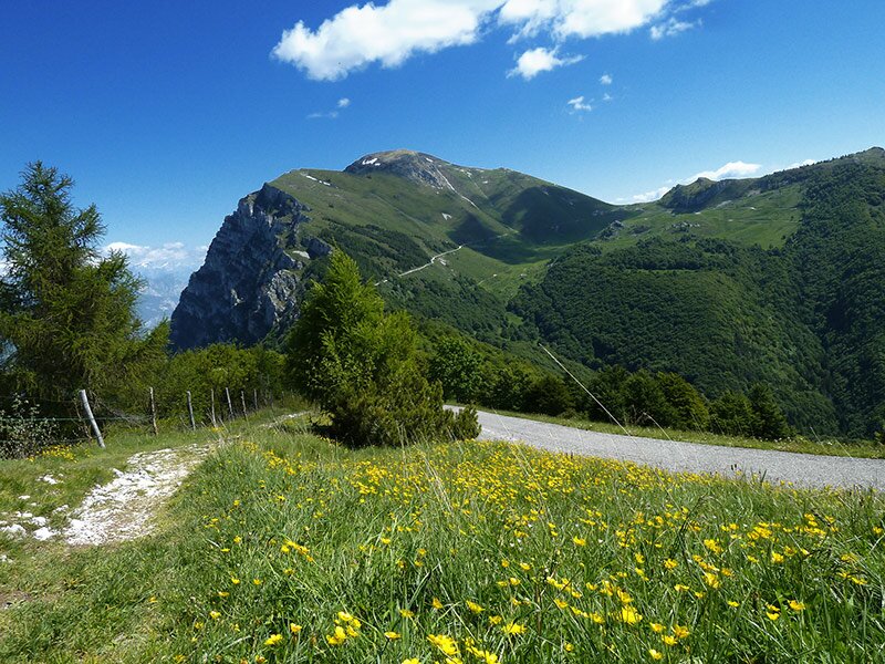
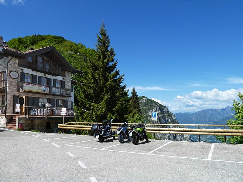
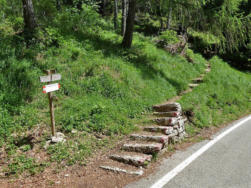
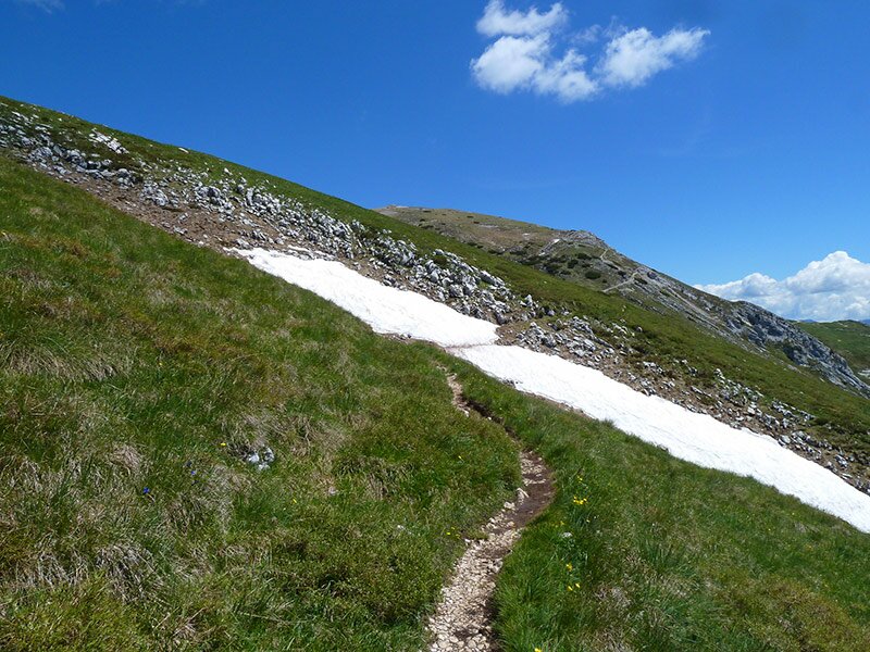
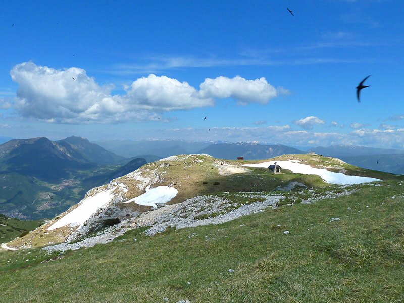
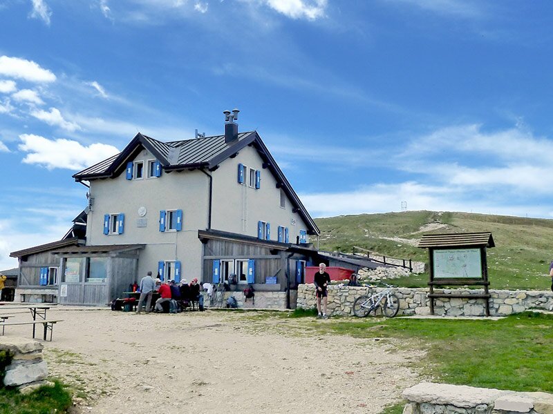
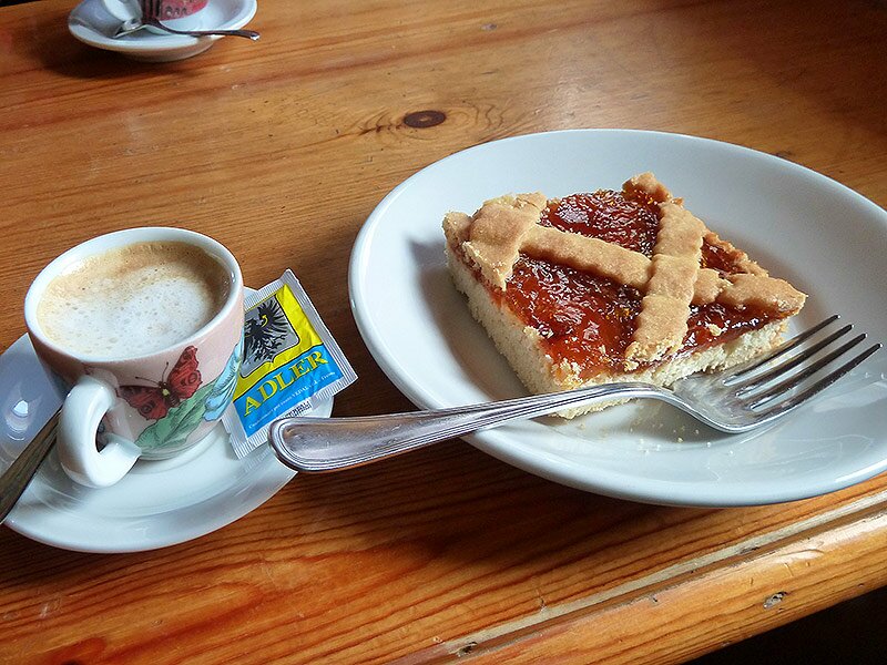
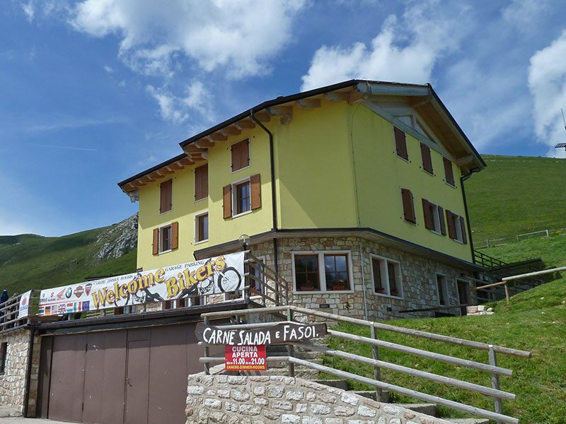
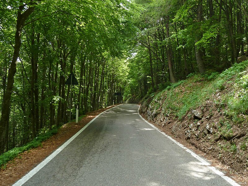
From there, we walk along an asphalt road for a few hundred metres, until we arrive at a signpost to the left, indicating the path to "Monte Altissimo di Nago". The route leaves the forest and ascends across the meadows of the Altissimo, until it reaches the mountain peak at 2,079 m a.s.l. Here, spring has just begun and plants like snowbells, buttercups, cowslips and crocuses are blooming. The view extends from the Valle di Ledro to Riva del Garda, Monte Brione and Torbole and towards east to Monte Stivo and the Val di Gresta. After a break at the mountain hut, we descend along the road to the Albergo Graziani and take the strada provinciale to Bocca di Navene from where we ascend to the station of the cable car. This excursion is perfect for those who are looking forward to discovering the rich flora of Monte Baldo and enjoying stunning panoramic views of Lake Garda.
Date of the hike: 12 June 2013
Last updated in: 2026
Author: AT
-
- Starting point:
- Malcesine, Monte Baldo funicular
-
- Overall time:
- 06:00 h
-
- Total route length:
- 16,7 km
-
- Altitude:
- from 1.423 m to 2.052 m
-
- Altitude difference (uphill | downhill):
- +977 m | -977 m
-
- Route:
- funicular mountain station Monte Baldo - Bocca di Navene - Altissimo di Nago mountain hut - Rifugio Graziani - funicular mountain station Monte Baldo
-
- Destination:
- Rifugio Altissimo
-
- Resting points:
- Bocca di Navene, Rifugio Altissimo, Rifugio Graziani mountain hut
-
- Recommended time of year:
- Jan Feb Mar Apr May Jun Jul Aug Sep Oct Nov Dec
-
- Download GPX track:
- Hike to Mt Altissimo di Nago on Mt Baldo
If you want to undertake this hike, we recommend checking the weather and trail conditions in advance and on site before starting this hike!