An easy circular spring hike on the meadows of Monti Lessini
Image gallery: Hike from Sega di Ala to the Cima Borghetto
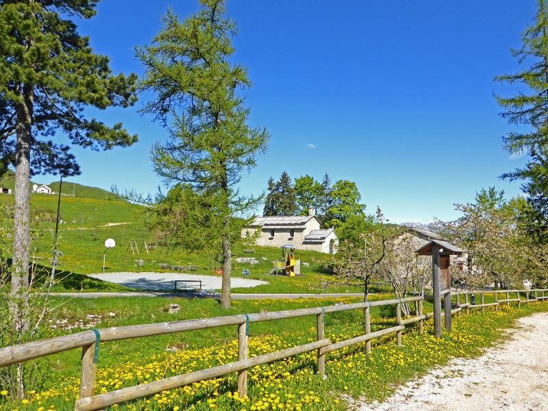
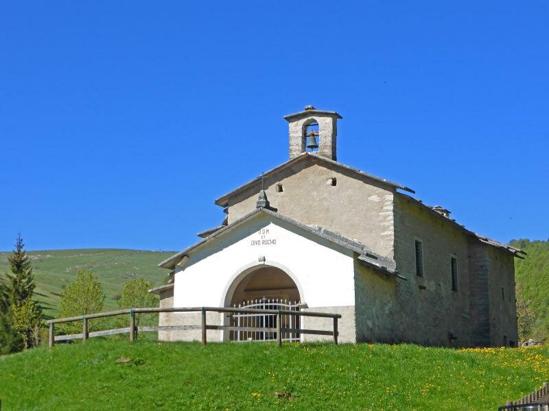
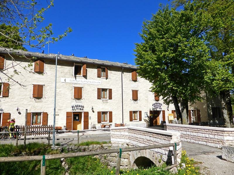
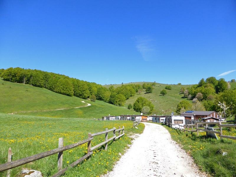
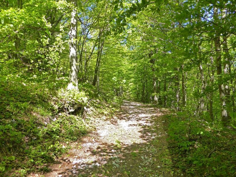
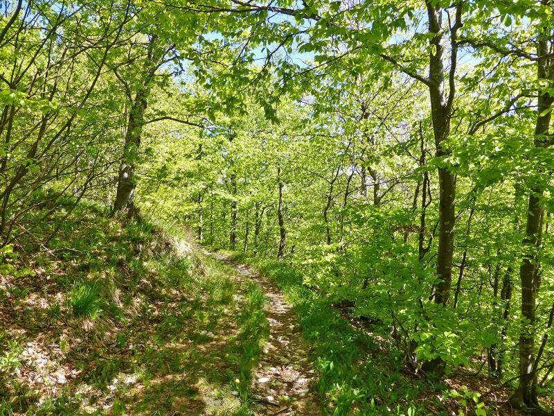
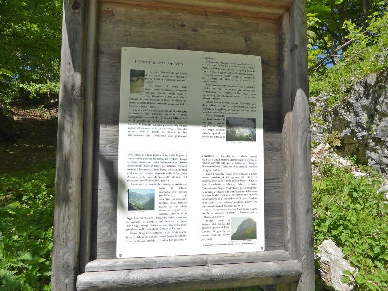
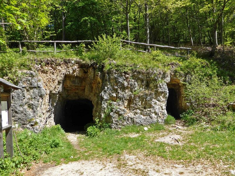
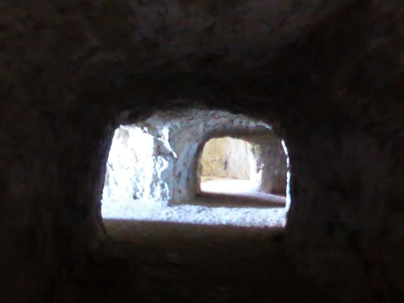
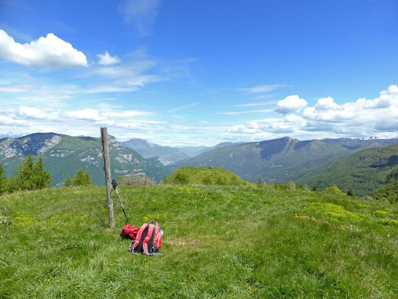
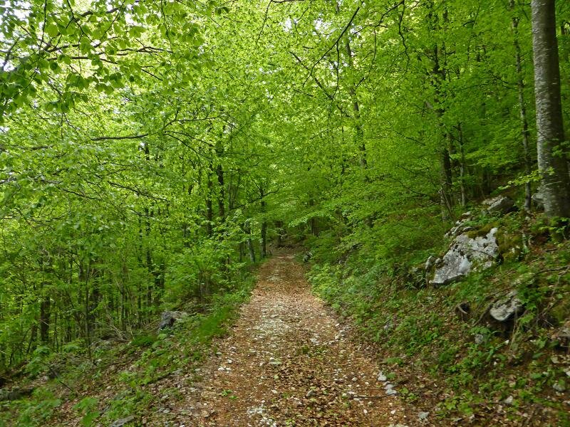
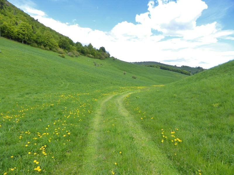
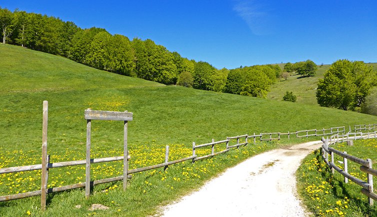
The hamlet of Sega di Ala is situated on the Monti Lessini, along the road between Ala and the Passo delle Fittanze, at the southern border between Trentino and Veneto. Parking spaces are available near the restaurant "Monti Lessini" or the hotel "Alpino-Vecchio Confine". Having parked our car, we take the road to the small campsite "Al Faggio" situated on beautiful meadows where yellow primulas bloom in May. After the campsite, we continue towards the forest on the "Denti della Sega" path and the "Busoni di Cima Borghetto", which was originally built as a military construction and an observation post during the Great War and now serves as a panoramic viewpoint overlooking the Vallagarina.
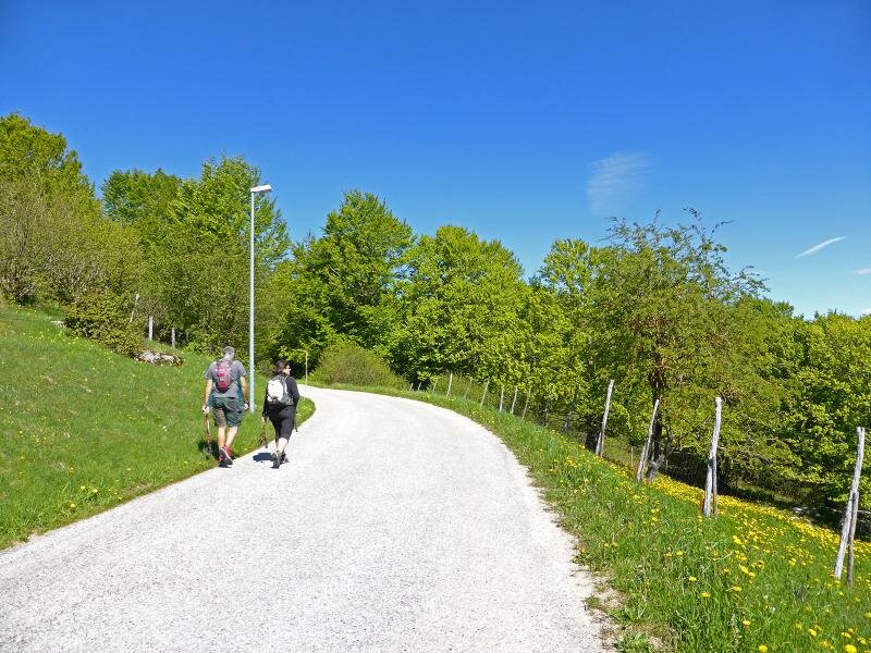
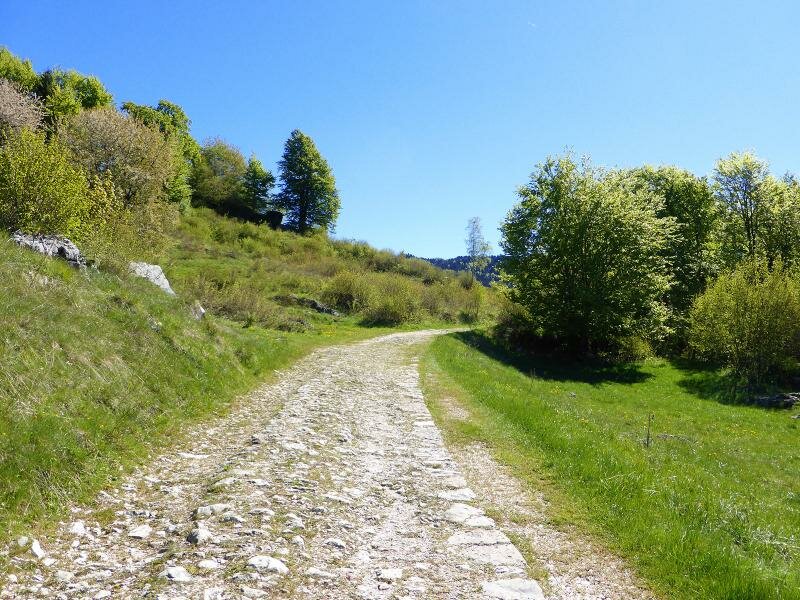
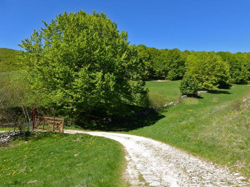
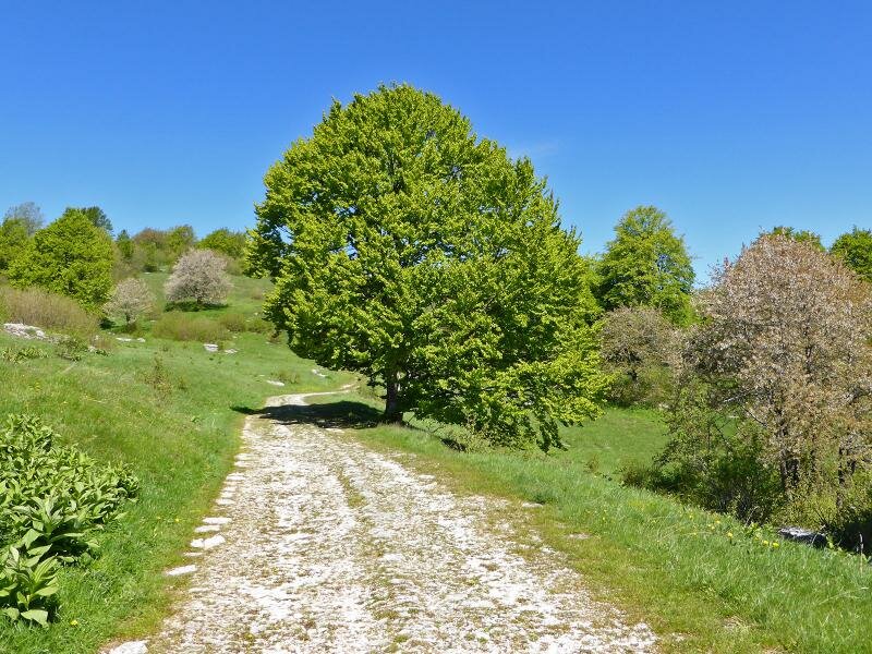
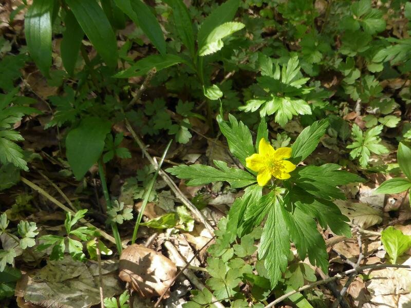
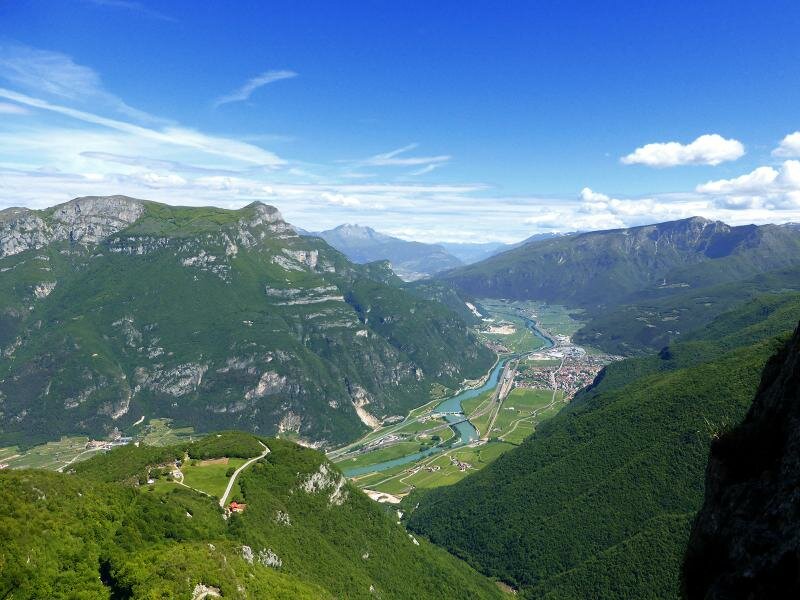
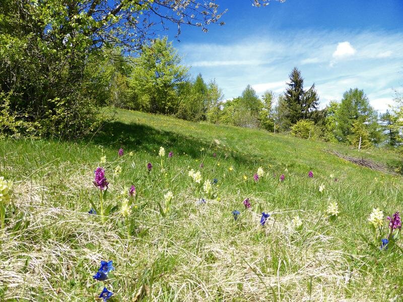
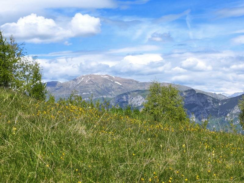
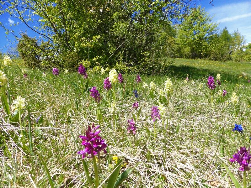
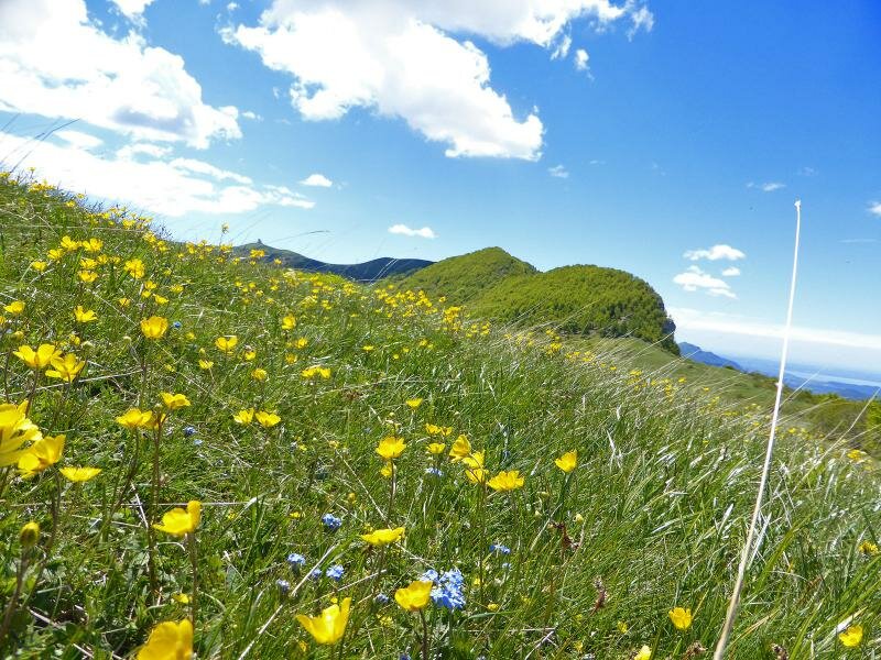
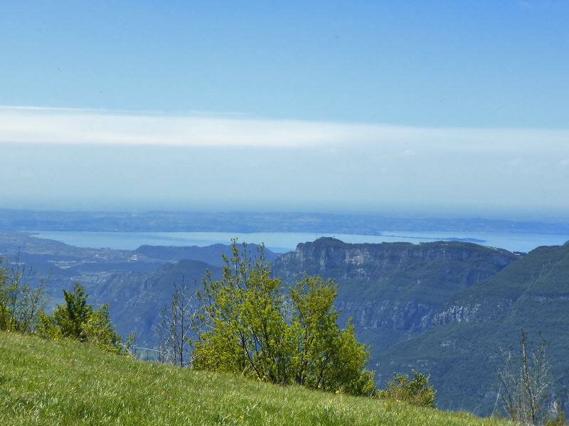
The sentiero dei Denti della Sega proceeds southwards on the ridge and on the meadows of the Monti Lessini on the left and the Valle dell'Adige and the Monte Baldo group on the right. Now the blue surface of Lake Garda is visible and the verdant spring meadows are full of orchids and gentians. After a short section in the forest, the path runs across the meadows towards Sega di Ala. This easy hike with an elevation gain of 200 metres and a length of nine kilometres is highly recommended in May when spring flaunts its radiant colours in this particularly mild area of the Alps.
Date of the hike: 17 May 2014
Last updated in: 2026
Author: AT
-
- Starting point:
- Sega di Ala
-
- Overall time:
- 02:35 h
-
- Total route length:
- 8,9 km
-
- Altitude:
- from 1.211 m to 1.335 m
-
- Altitude difference (uphill | downhill):
- +149 m | -149 m
-
- Route:
- Sega d'Ala - Camping - Busoni - Sentiero Denti della Sega - Sega di Ala
-
- Recommended time of year:
- Jan Feb Mar Apr May Jun Jul Aug Sep Oct Nov Dec
-
- Download GPX track:
- Hike from Sega di Ala to the Cima Borghetto
If you want to undertake this hike, we recommend checking the weather and trail conditions in advance and on site before starting this hike!