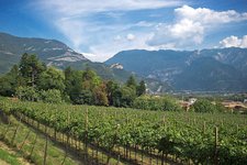
The sunny terrace above the Val di Gresta and Vallagarina offers a stunning view of Lake Garda
Image gallery: Hike to Mt Biaena

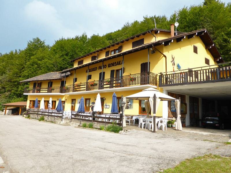
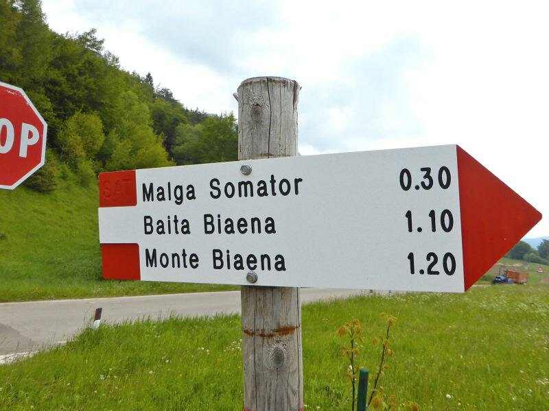
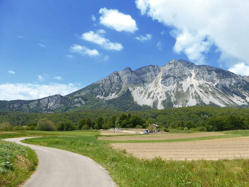
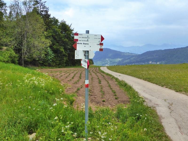
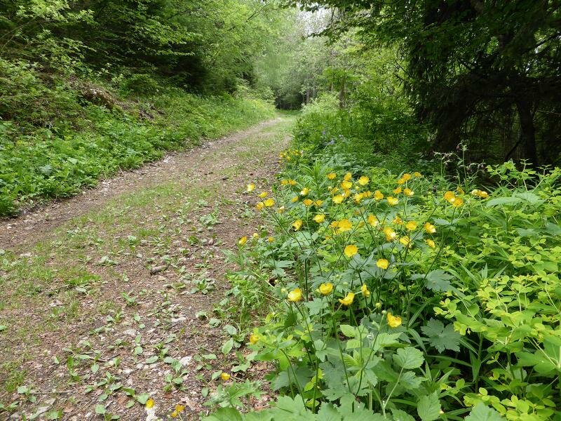
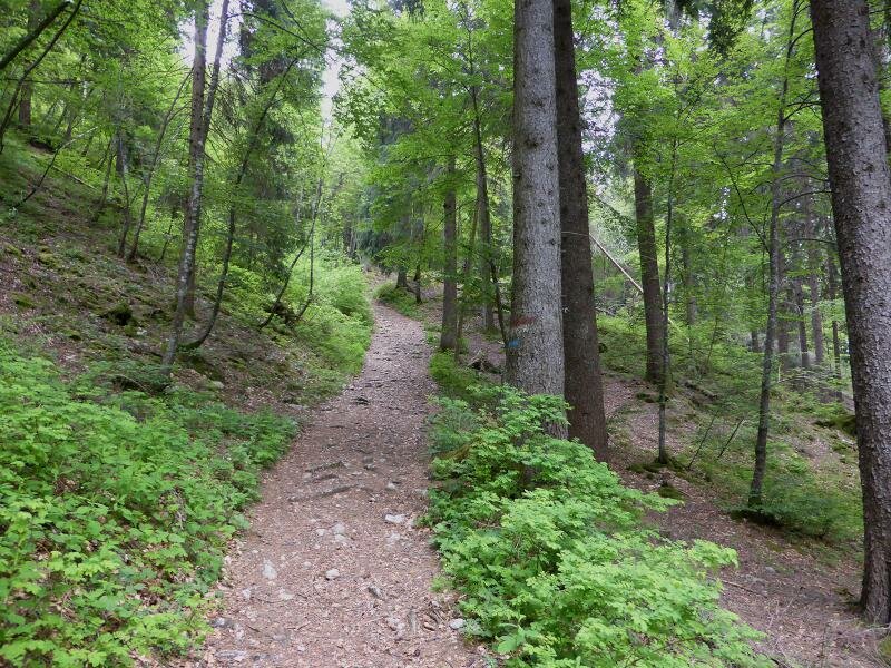
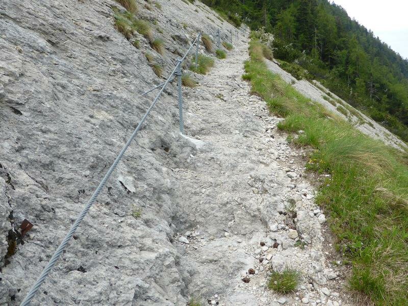
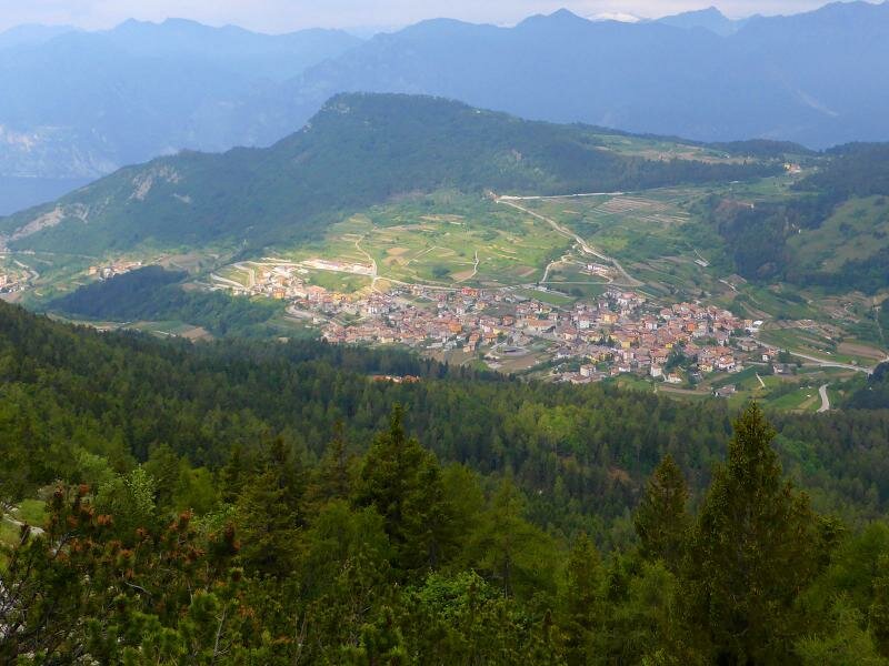
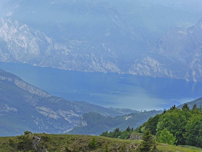
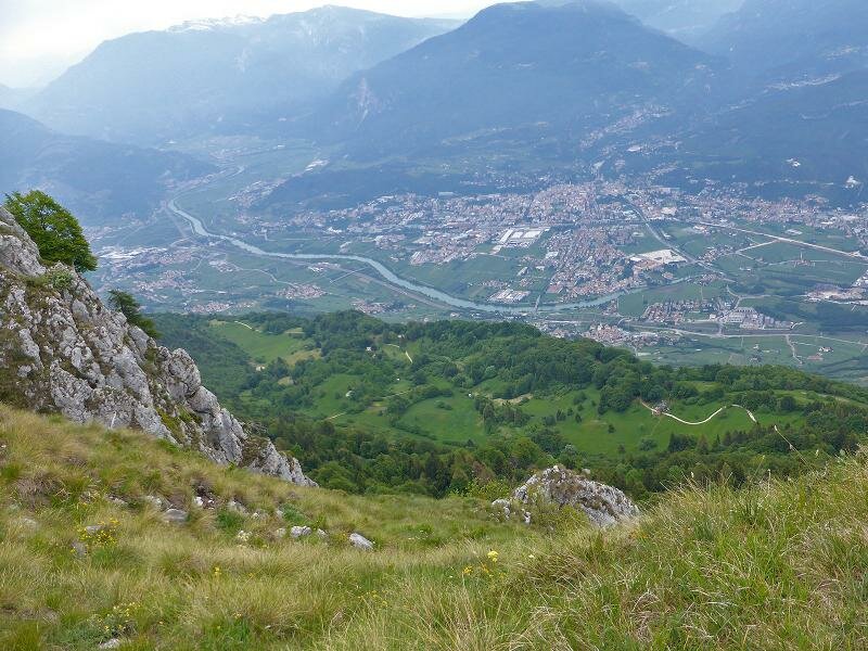
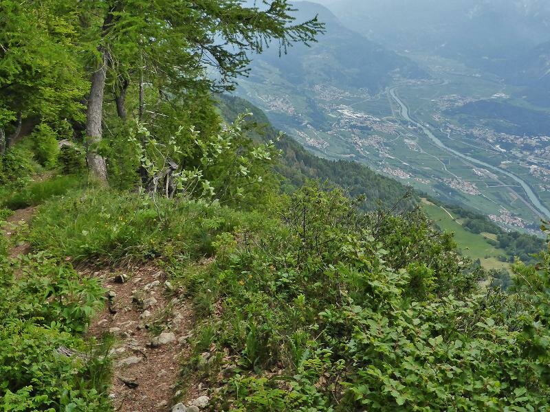
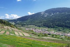
The starting point of our short hike is Passo Bordaia (1,253 m a.s.l.) between the Valle di Gresta and the Vallagarina. On a day characterised by unpredictable weather conditions, we start at the car park near the albergo Passo Bordaia where we cross the road and follow the signposts to "Monte Biaena (no. 671), leading through meadows and fields towards the forest. Initially, we walk along an asphalt road, then on a forest road which turns into a path. We reach a rocky section which is easily manageable. From there we enjoy stunning views of the surrounding area, including Monte Stivo, the Val di Gresta with the hamlet of Ronzo Chienis and even Lake Garda.
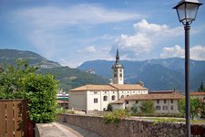
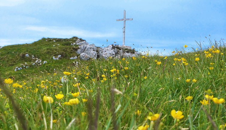
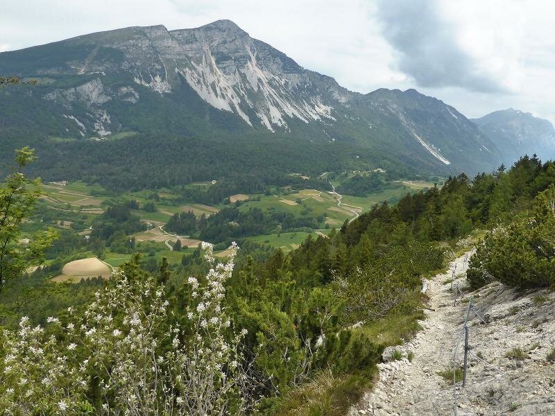
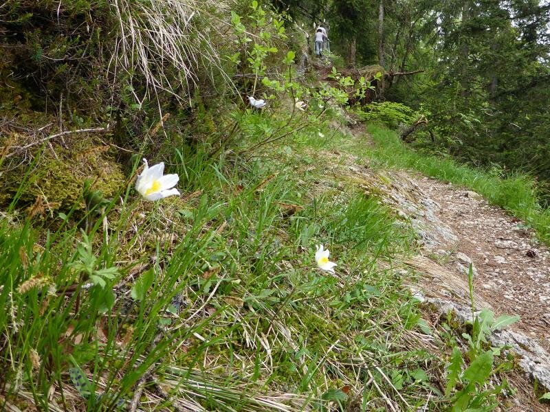
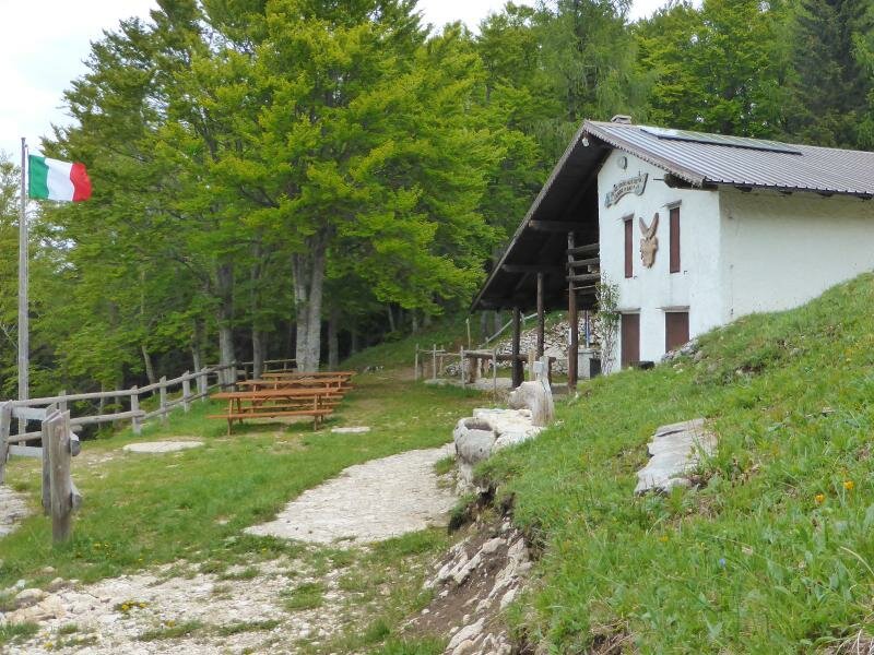
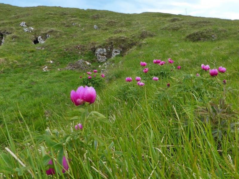
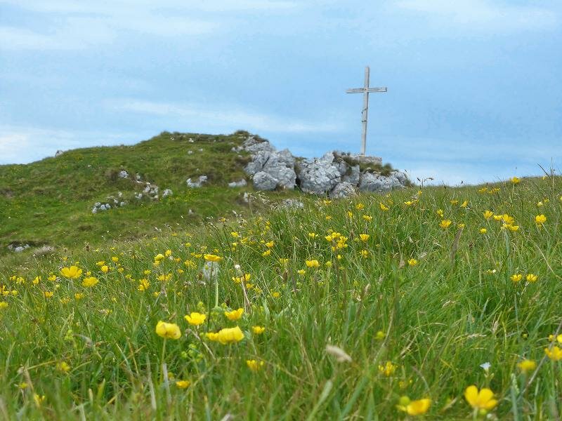
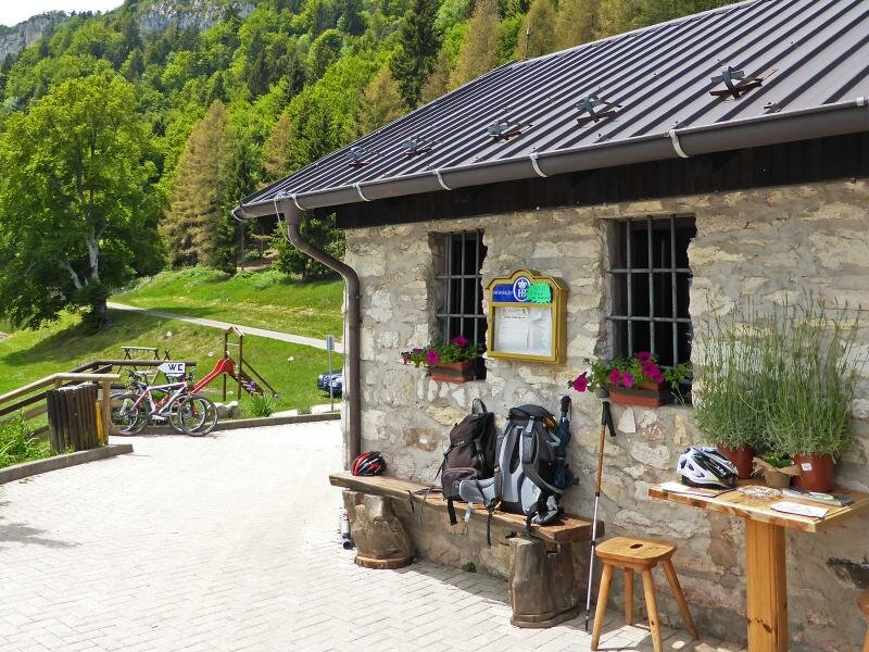
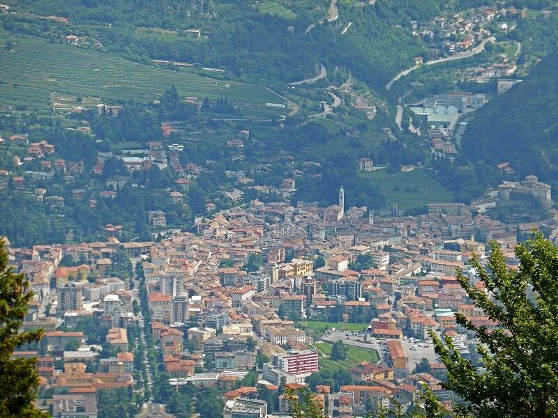
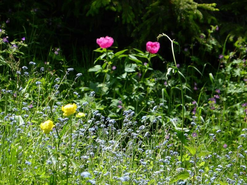
We walk past the "Capanna Monte Biaena" and reach the meadows extending to the summit cross at 1,618 m. From the peak we enjoy a fantastic panoramic view of the Vallagarina, the city of Rovereto and the surrounding mountains. Now, in early June, the beautiful, white peonies are still in bloom. For our return we have two options: the via ferrata "Sentiero Somator" along the ridge and then downhill to Malga Somator (itinerary no. 673). Alternatively, you can retrace your steps. Experience with rocky terrain and good hiking shoes are required to manage this section with ease. We choose the second and easier version. While descending, we visit Malga Somator by following an asphalt path towards south before returning to the Passo Bordaia.
Please note: this hike is not recommended on hot summer days!
Author: AT
-
- Starting point:
- Passo Bordala
-
- Overall time:
- 03:20 h
-
- Total route length:
- 9,7 km
-
- Altitude:
- from 1.248 m to 1.607 m
-
- Altitude difference (uphill | downhill):
- +409 m | -409 m
-
- Signposts:
- Monte Biaena, 671, Malga Somator
-
- Destination:
- Monte Biaena, Malga Somator
-
- Resting points:
- Malga Somator
-
- Recommended time of year:
- Jan Feb Mar Apr May Jun Jul Aug Sep Oct Nov Dec
-
- Download GPX track:
- Hike to Mt Biaena
If you want to undertake this hike, we recommend checking the weather and trail conditions in advance and on site before starting this hike!