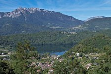
This spring and autumn walk across the forests between the lakes of Caldonazzo and Levico leads to the thermal city of Levico
Image gallery: Hike from Pergine to Levico
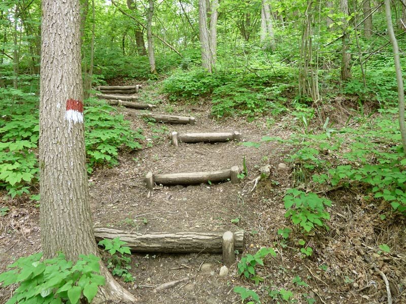

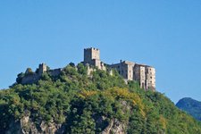
Our hiking tour begins in the centre of Pergine Valsugana. From the Piazza del Municipio we head towards east and follow via Maier and via Guglielmi towards north to the junction with Via Tegazzo. We ascend the steps towards
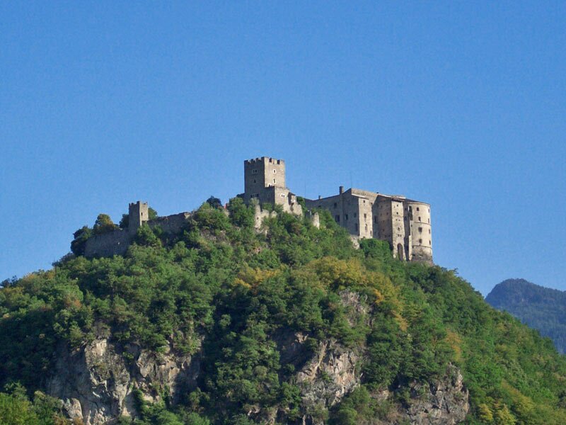
Castel Pergine and descend to the valley on the other side of the hill.
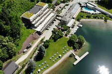
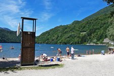
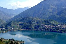
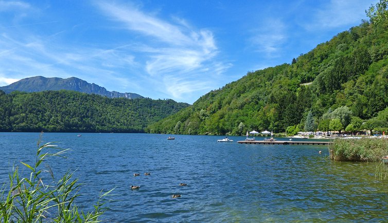
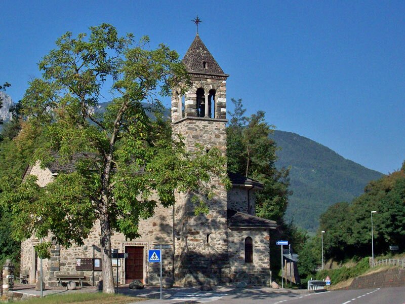
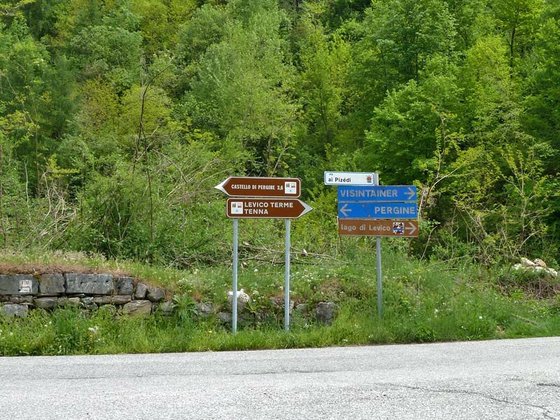
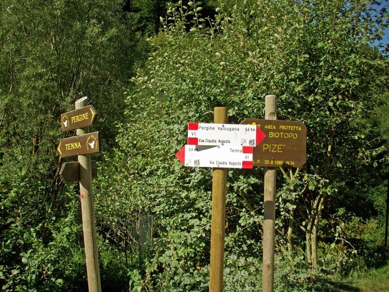
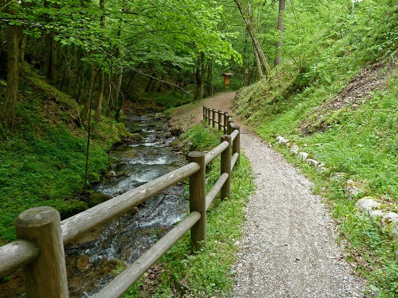
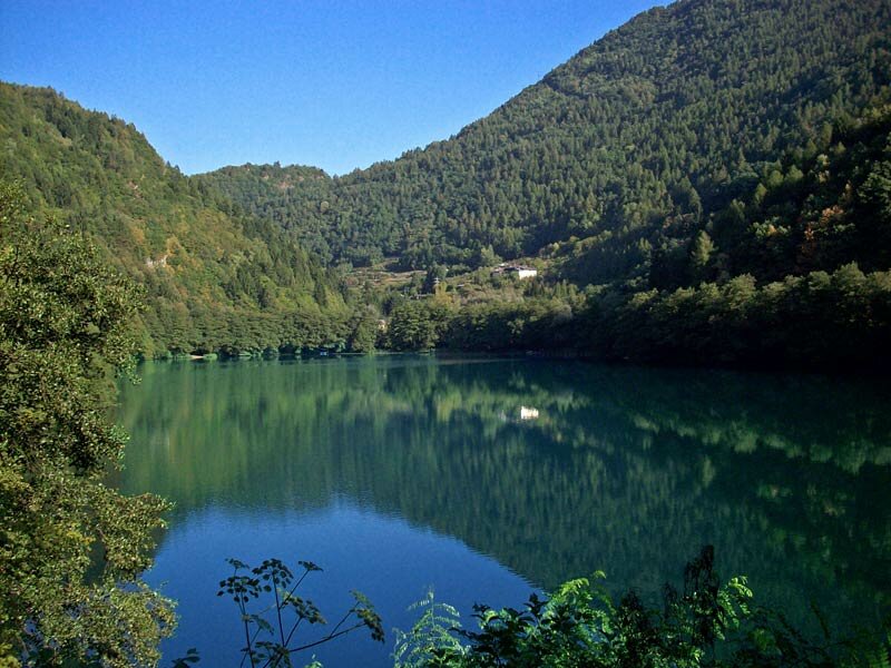
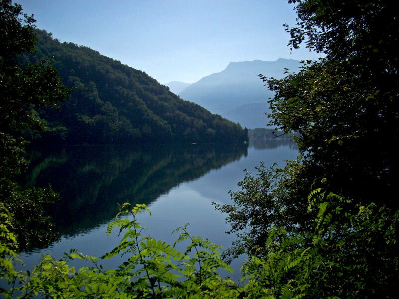
Near the village of Masetti we cross the provincial road and proceed on a small road towards Pozza and to the locality of Ischia, situated on the northern side of Lake Caldonazzo. From here, we ascend on an asphalt road towards east to the junction to the Visintainer house group which stands near the Pize biotope. This biotope is crossed by a wonderful path following the course of the stream. Lake Levico extends to the "Sentiero degli gnomi Part dei Boschi" which branches off right after the biotope.
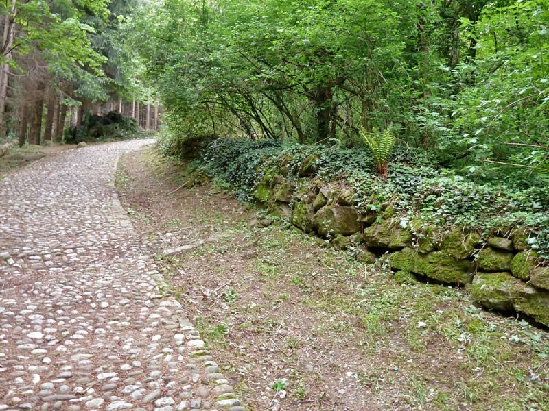
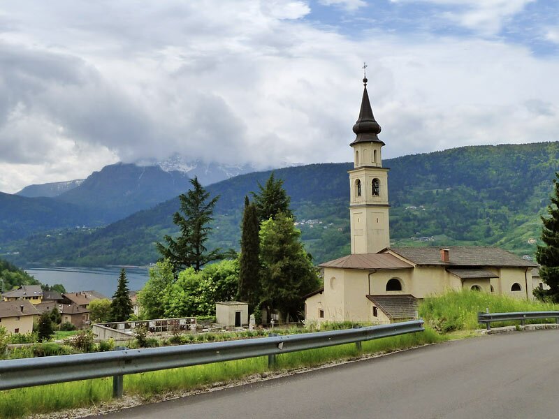
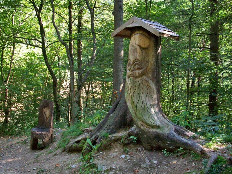
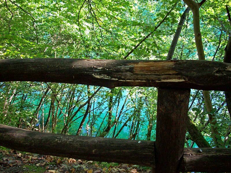
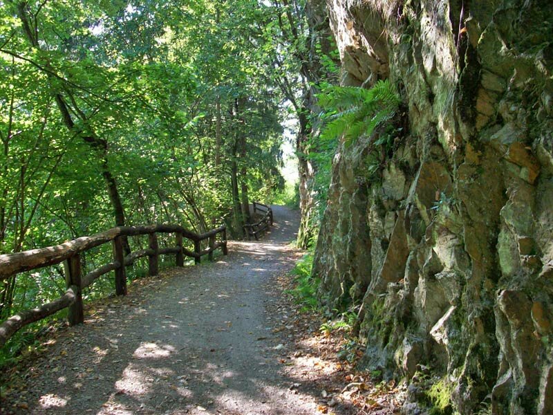
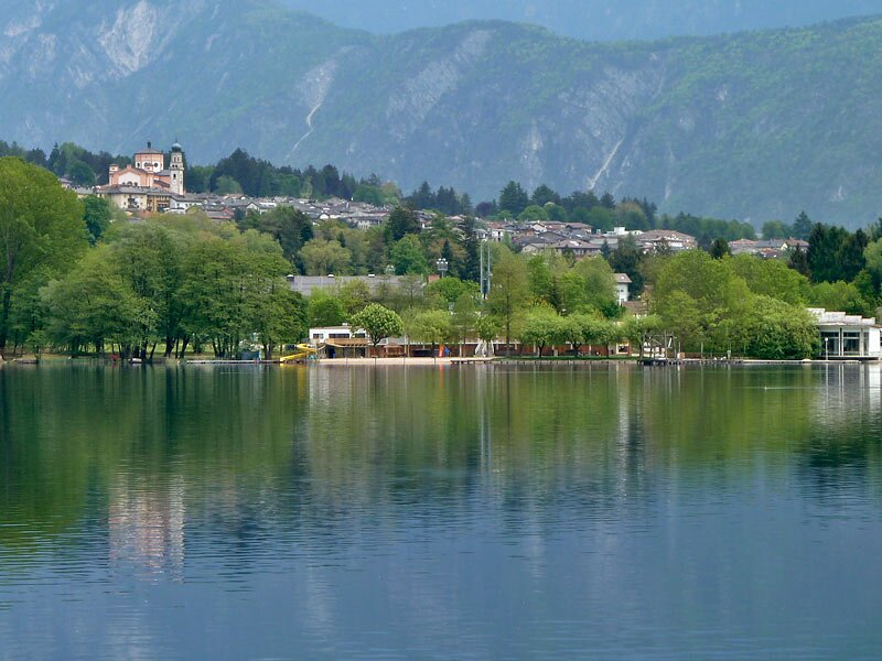
We follow this path through a forest at the lakeside and approach Levico Terme. The path ends at the "Canneto di Levico" biotope and we follow the asphalt road "Tenno-Levico" to reach the thermal city of Levico. For your return to Pergine you can take the Valsugana train from Levico.
Date of the hike: 1 September 2009
Last updated in: 2026
Author: AT
-
- Starting point:
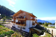
- Pergine Valsugana
-
- Overall time:
- 03:30 h
-
- Total route length:
- 10,9 km
-
- Altitude:
- from 441 m to 576 m
-
- Altitude difference (uphill | downhill):
- +257 m | -231 m
-
- Route:
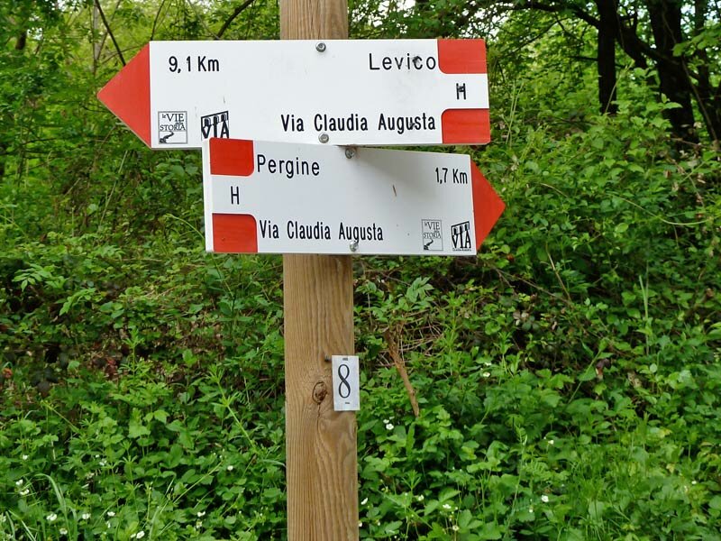
- Pergine - Castello di Pergine - Masetti - Pozza - Ischia - Lago di Levico - Levico
-
- Signposts:
- Via Claudia Augusta, Levico
-
- Destination:
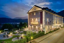
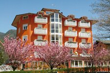
- Levico Terme
-
- Recommended time of year:
- Jan Feb Mar Apr May Jun Jul Aug Sep Oct Nov Dec
-
- Download GPX track:
- Hike from Pergine to Levico
If you want to undertake this hike, we recommend checking the weather and trail conditions in advance and on site before starting this hike!