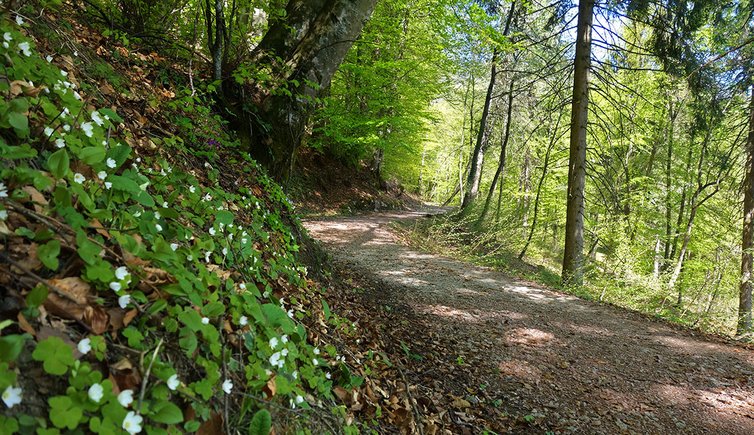
This easy hike through the forests at the edge of the famous apple orchards of the Val di Non is particularly recommended in early summer
Image gallery: Sentiero Margherita
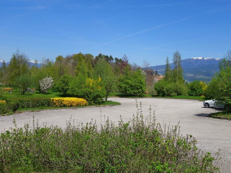
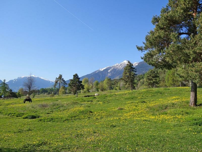
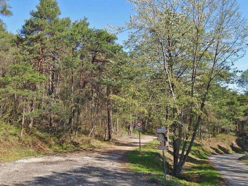
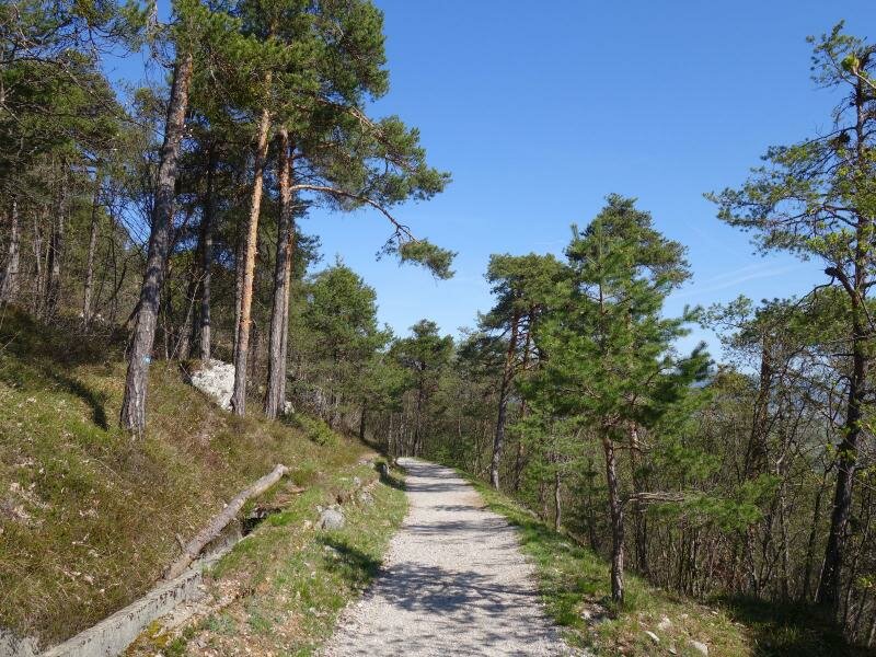
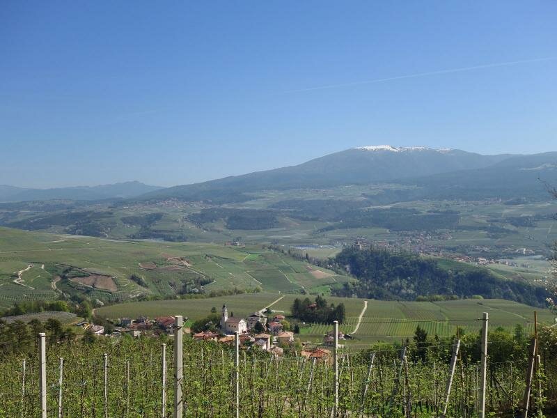
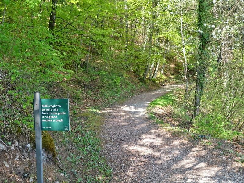
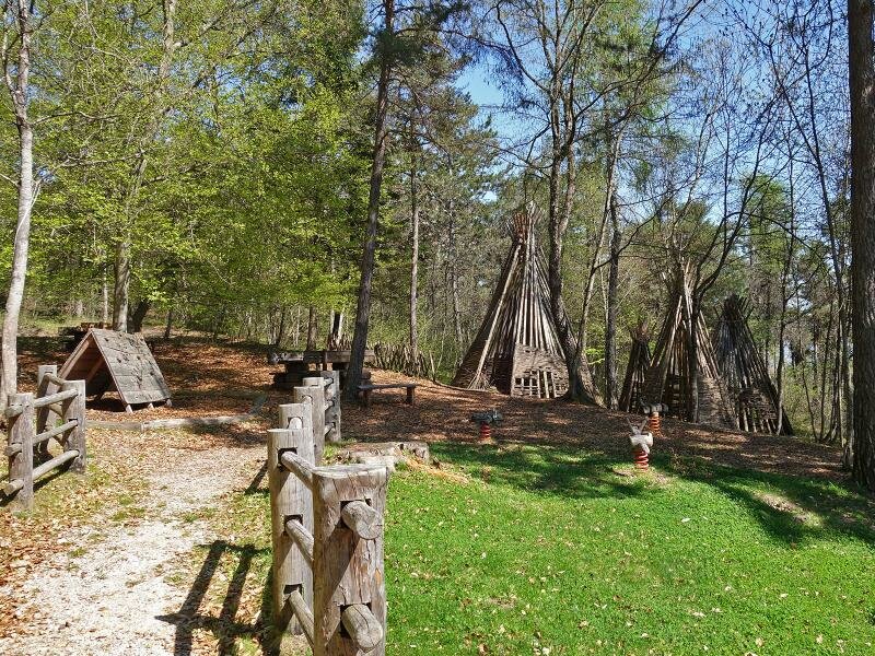
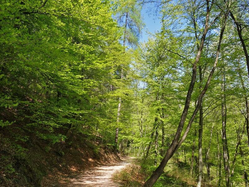
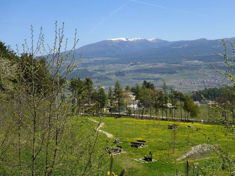
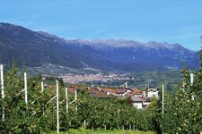
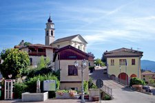
Now, at the end of April, when the orchards of the Val di Non are blossoming and the forests turn green, we walk to Termon above Denno to undertake this beautiful hike. Our hike starts from the car park near the outdoor sports centre and runs along the forest path towards north (signpost to Terres).
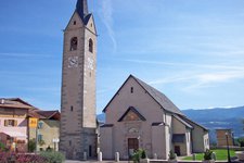
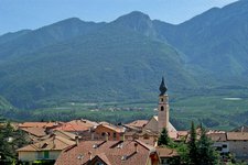
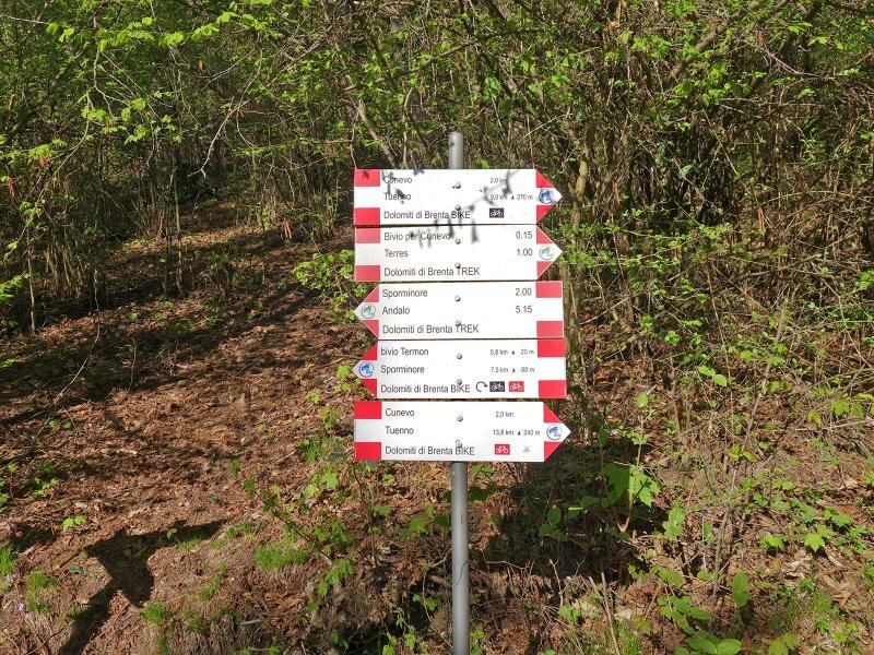
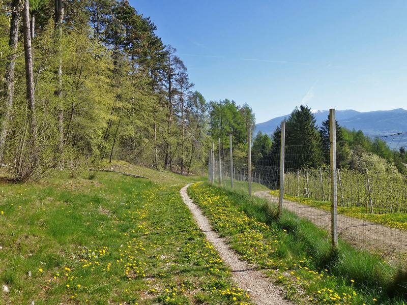
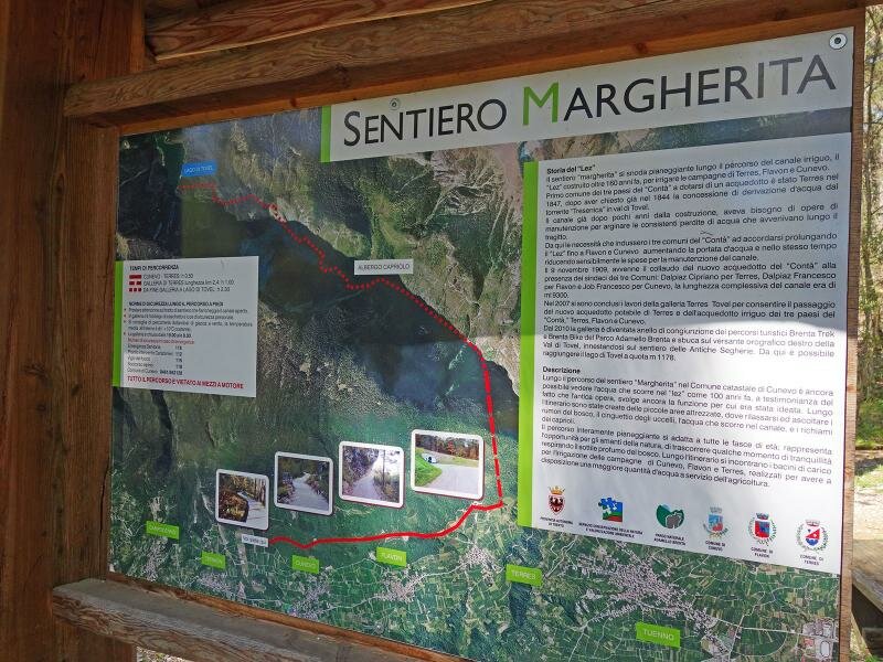
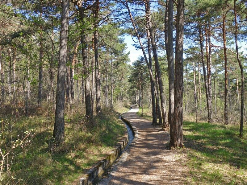
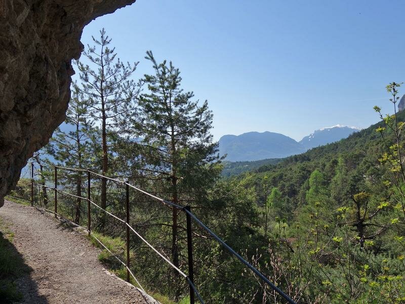
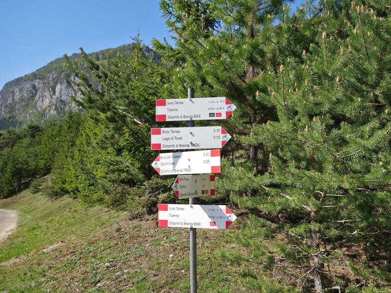
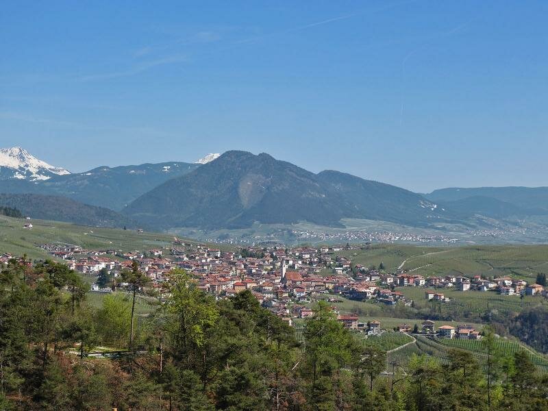
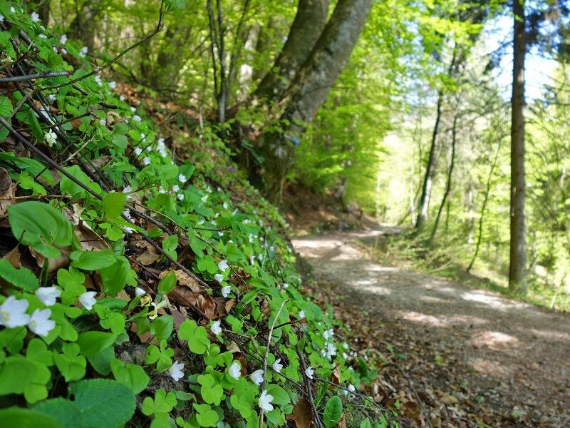
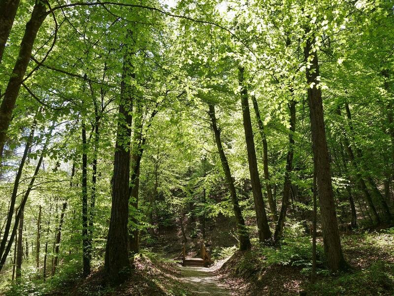
After about 1 km we cross an asphalt road from where the Sentiero Margherita starts. This well-maintained, flat path follows an irrigation channel. As the forest thins out, we enjoy a magnificent view of the Val di Non with the villages of Cunevo, Flavon and Terres. The path joins the panoramic path of Lez and continues below a rocky mountain wall and past several water reservoirs.
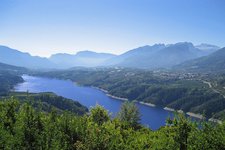
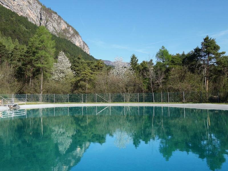
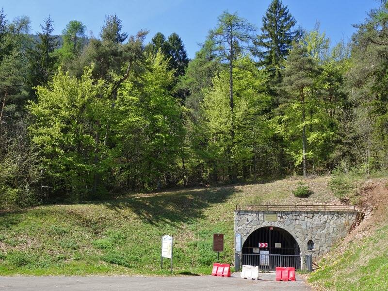
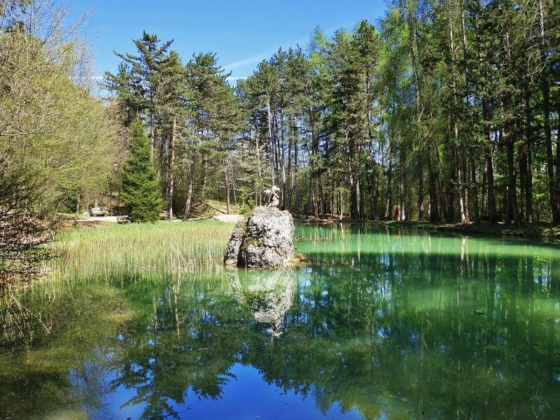
Above Terres we reach the 2 km long tunnel which leads to the Val di Tovel, the final destination of our hiking adventure. If you want to take a different route back, you can descend from the basin above Flavon to the laghetto di Flavon, a small, magnificent lake in the middle of the forest. To return onto the sentiero Margherita you need to tackle a short and quite steep ascent.
Attention:
The tunnel is open from 8 am to 7 pm from mid May to the end of October. It is highly recommended to check its opening times before undertaking this hike.
The average temperature in the tunnel is +10°C; before doing this hike, it is important to get further information on the conditions and requirements you need to comply with.
Date of the hike: 21 April 2018
Last updated in: 2026
Author: AT
-
- Starting point:
- Termon, parking space at the sports ground
-
- Overall time:
- 03:20 h
-
- Total route length:
- 11,7 km
-
- Altitude:
- from 643 m to 737 m
-
- Altitude difference (uphill | downhill):
- +188 m | -188 m
-
- Route:
- Sentiero Margherita, Percorso del Lez
-
- Signposts:
- Terres, Sentiero Margherita, Sentiero panoramico Lez, Galleria di Terres
-
- Destination:
- Galleria di Terres
-
- Recommended time of year:
- Jan Feb Mar Apr May Jun Jul Aug Sep Oct Nov Dec
-
- Download GPX track:
- Sentiero Margherita
If you want to undertake this hike, we recommend checking the weather and trail conditions in advance and on site before starting this hike!