This hiking tour takes us to the meadows on Monte Baldo near Polsa. The panoramic spot on the Corno della Paura overlooks the Valle dell’Adige
Image gallery: Hike to the Corno della Paura
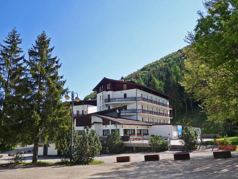
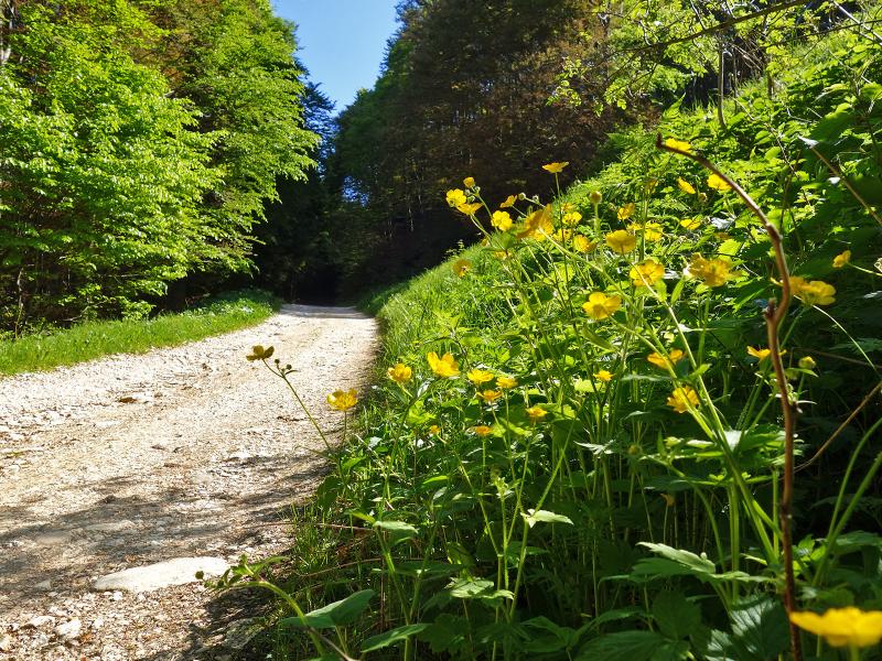
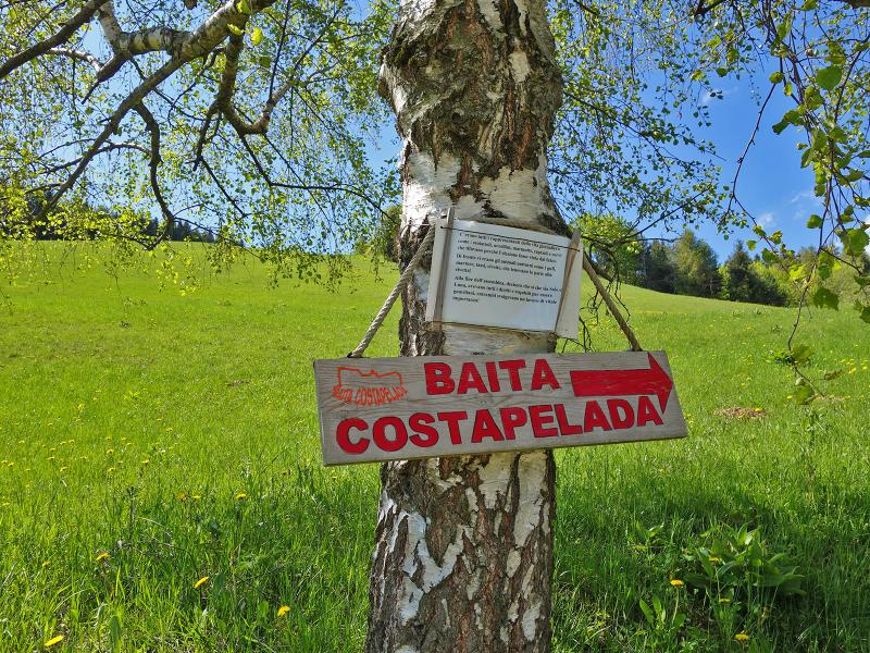
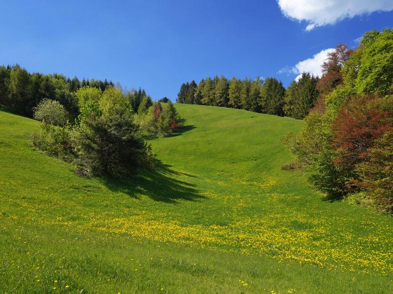
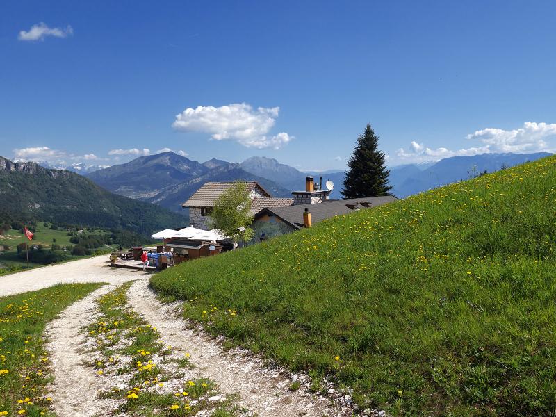
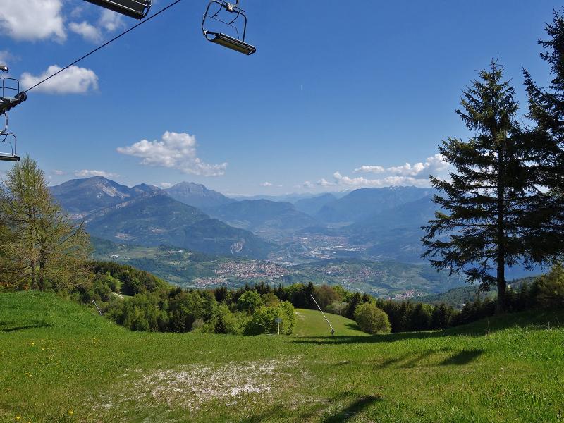
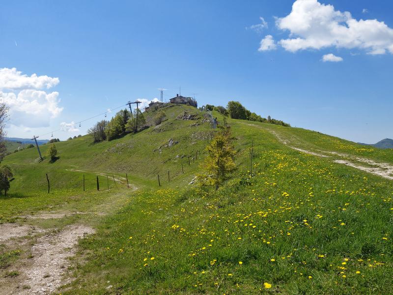
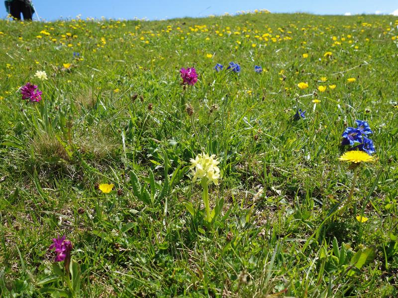
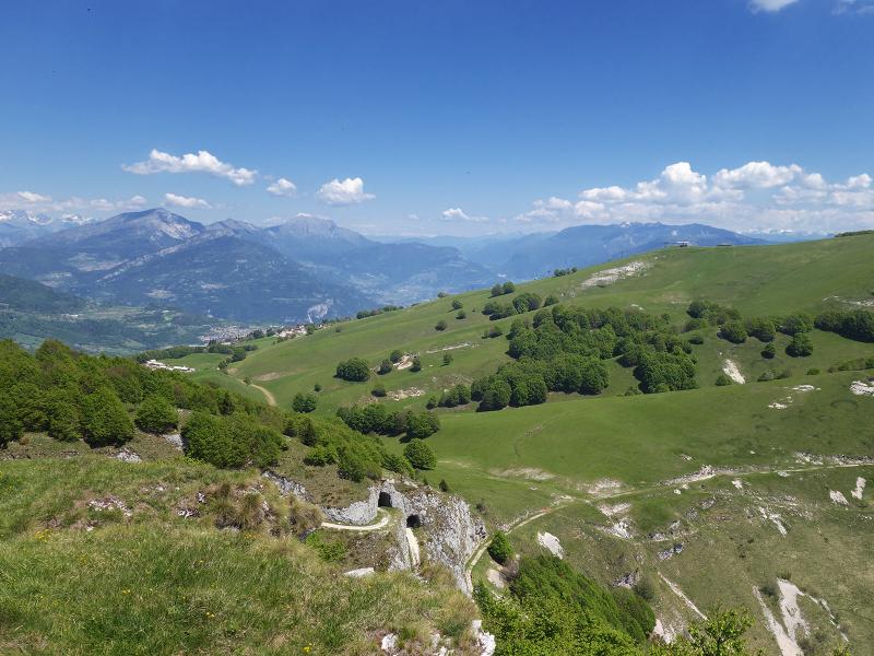
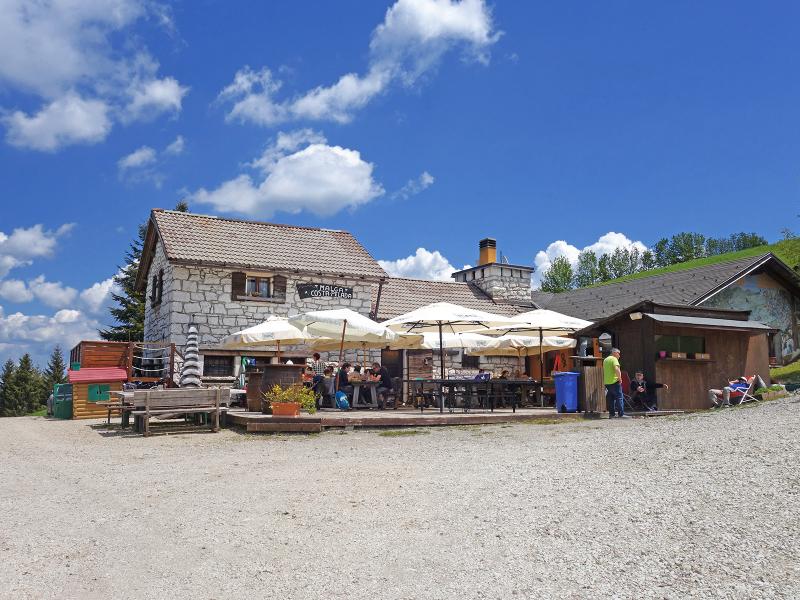
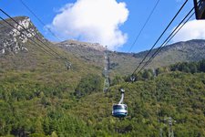
We start our hike at the Hotel Bucaneve at 1,190 m a.s.l., situated halfway between San Giacomo and San Valentino di Brentonico. We follow the forest road to Malga Costapelada, a mountain hut with a restaurant at 1,370 m a.s.l. We proceed uphill along the forest path, past a meadow that turns into a ski slope in winter. On the peak lies the mountain station of the Bucaneve lift where we take the path on the left which descends to the road connecting the meadows of Postemon with the small village of Polsa.
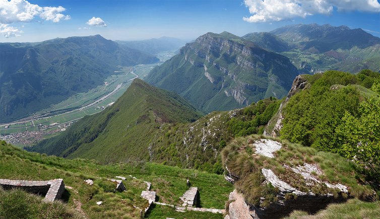
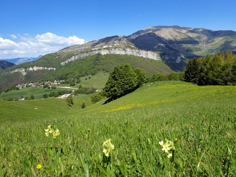
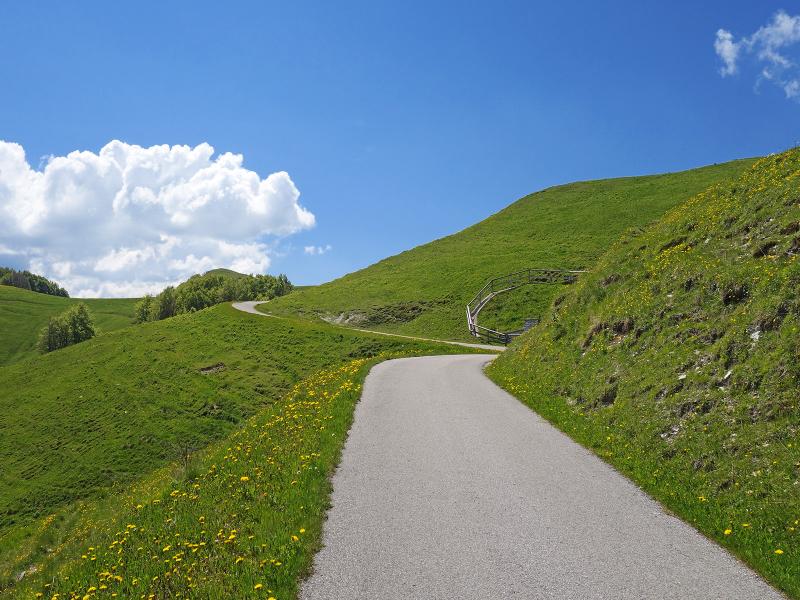
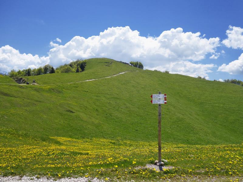
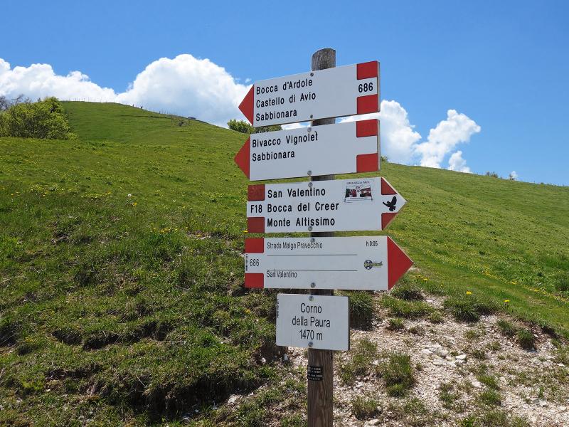
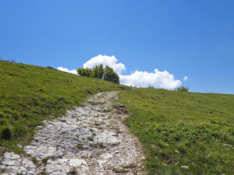
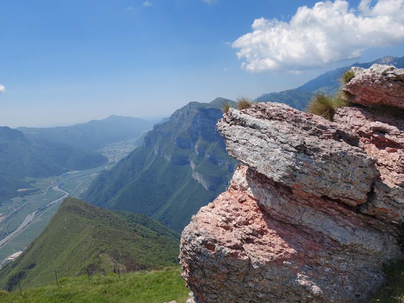
We arrive at an asphalt road leading across alpine pastures towards south. Then, we proceed slightly uphill to the junction with the sentiero della pace. From here we only need to tackle a few hundred metres until we reach the summit of the Corno della Paura at 1,518 m a.s.l.
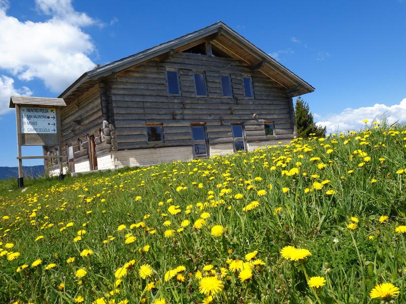
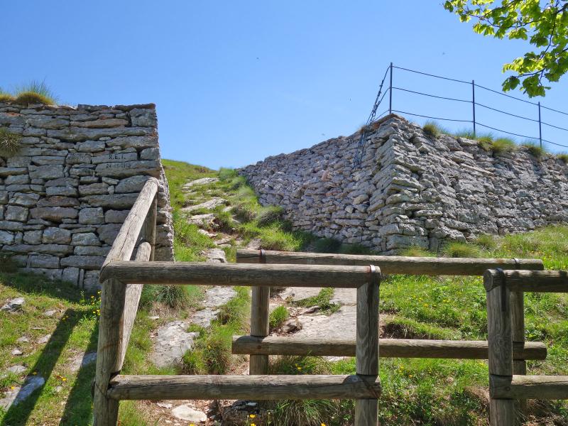
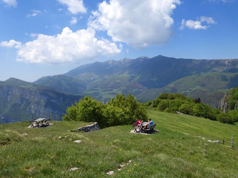
The rests of the Austro-Hungarian defensive systems date back to the Great War. This place was chosen for this purpose due to the stunning views of the Pasubio massif, the Piccole Dolomiti, Monti Lessini and the 2,074-metre high Altissimo di Nago, one of the highest peaks of Monte Baldo. From here you can perfectly observe the passes of the Vallagarina which runs from north to south along the Adige river. We stop for a relaxing break on malga Costapelada before returning to our starting point.
Date of the hike: 2 June 2019
Last updated in: 2026
Author: AT
-
- Starting point:
- Brentonico, Hotel Bucaneve
-
- Overall time:
- 03:50 h
-
- Total route length:
- 9,6 km
-
- Altitude:
- from 1.190 m to 1.496 m
-
- Altitude difference (uphill | downhill):
- +434 m | -434 m
-
- Signposts:
- Baita Costapelada, Corno della Paura
-
- Destination:
- Corno della Paura
-
- Resting points:
- Baita Costa Pelada
-
- Recommended time of year:
- Jan Feb Mar Apr May Jun Jul Aug Sep Oct Nov Dec
-
- Download GPX track:
- Hike to the Corno della Paura
If you want to undertake this hike, we recommend checking the weather and trail conditions in advance and on site before starting this hike!