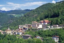
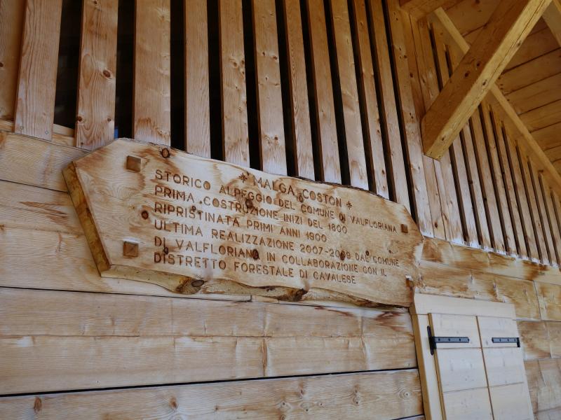
The historic pastures of Coston and Malga dal Sass (Malga Sass) are situated in the forests of the Lagorai range, in the municipality of Valfloriana
Image gallery: Hike to Malga Sass in the Valfloriana
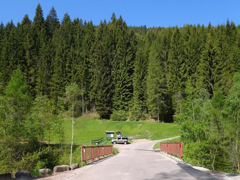
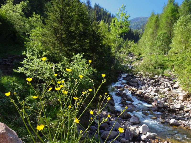
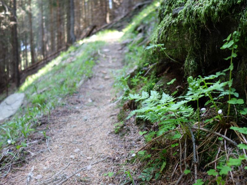
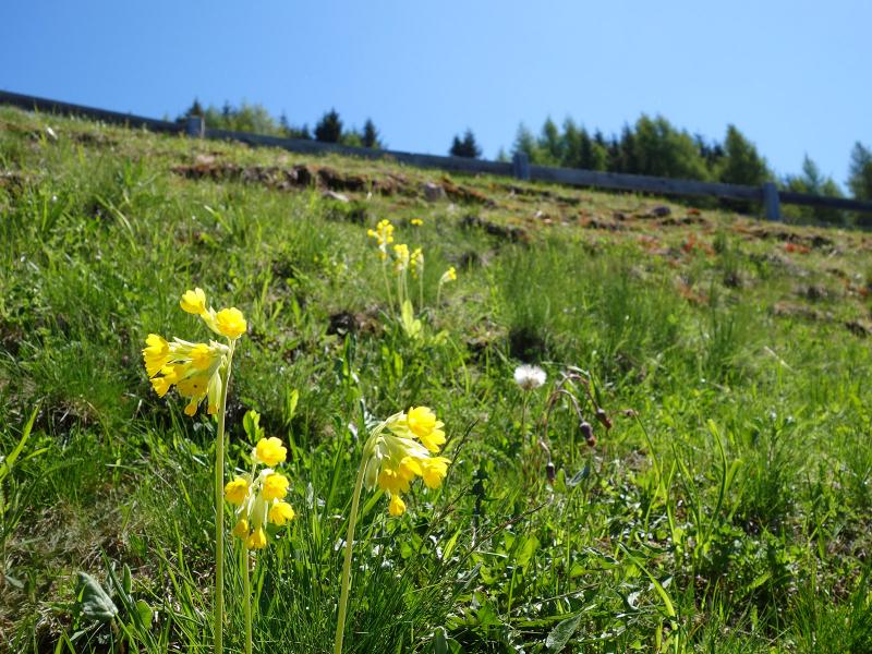
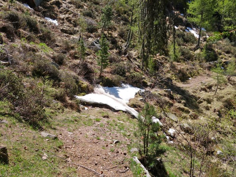
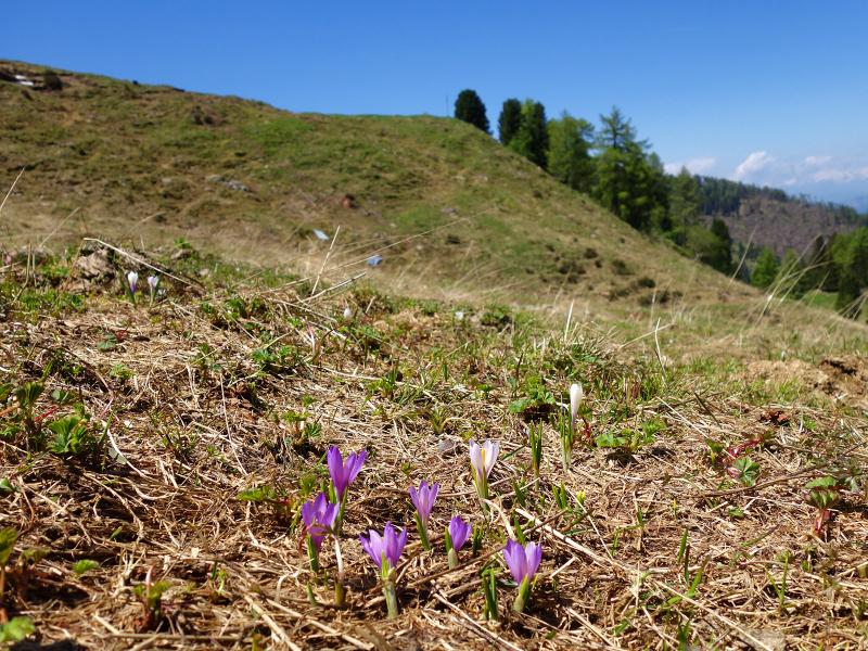
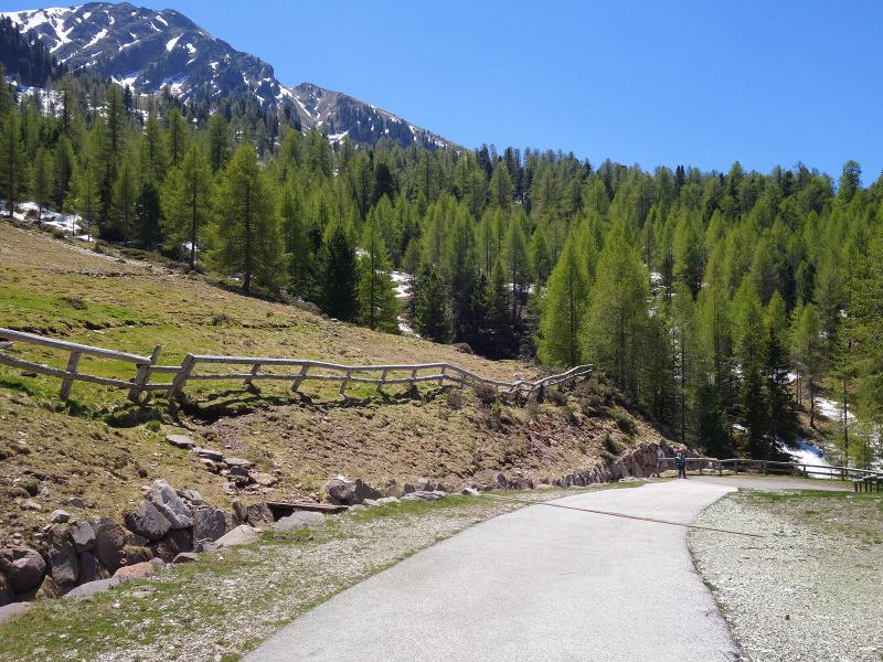
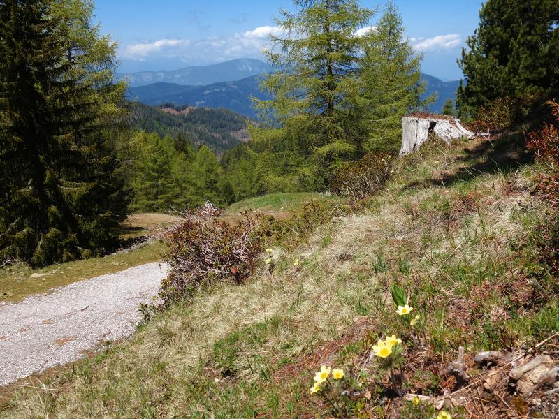
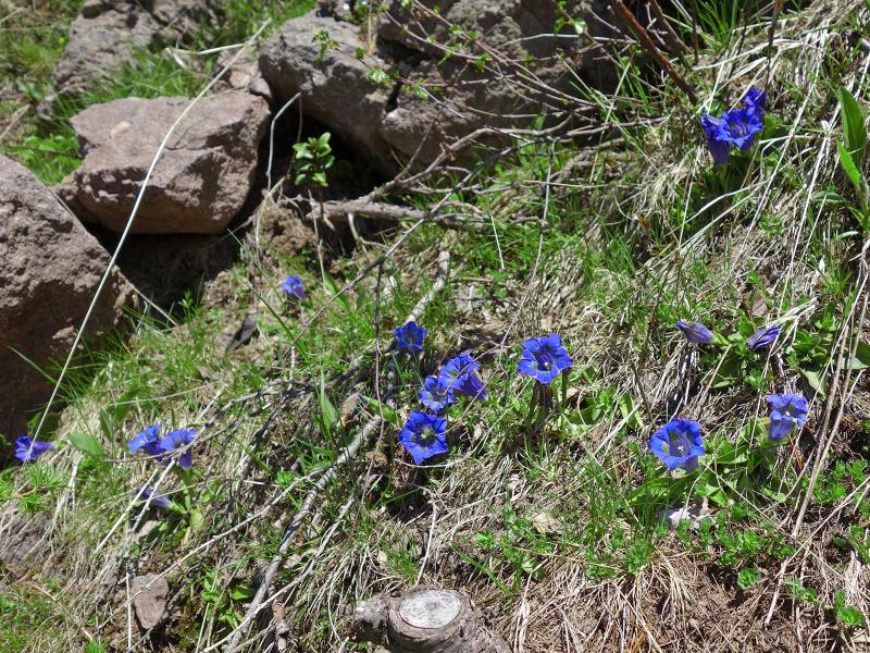
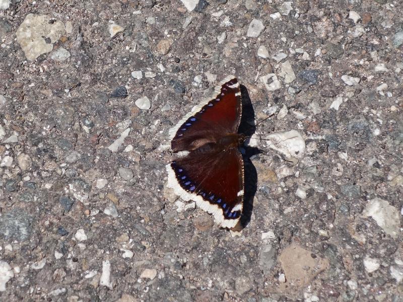
Now, in early June, spring has arrived even at high altitudes. The snow on the meadows at the edge of the forest melts, and crocuses, gentians and anemones begin to blossom. We drive to Valfloriana, our starting point, and park by the road near a bridge crossing the Rio delle Seghe stream. From there, just before the bridge, we take the path on our right, which runs east of the stream. After about 100 metres, we turn onto a steep path to our left and begin our ascent through the forest.
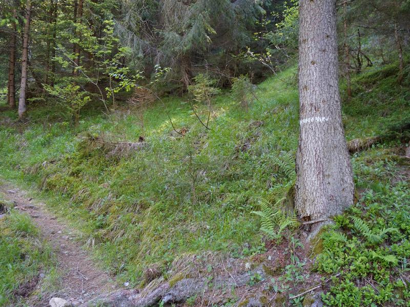
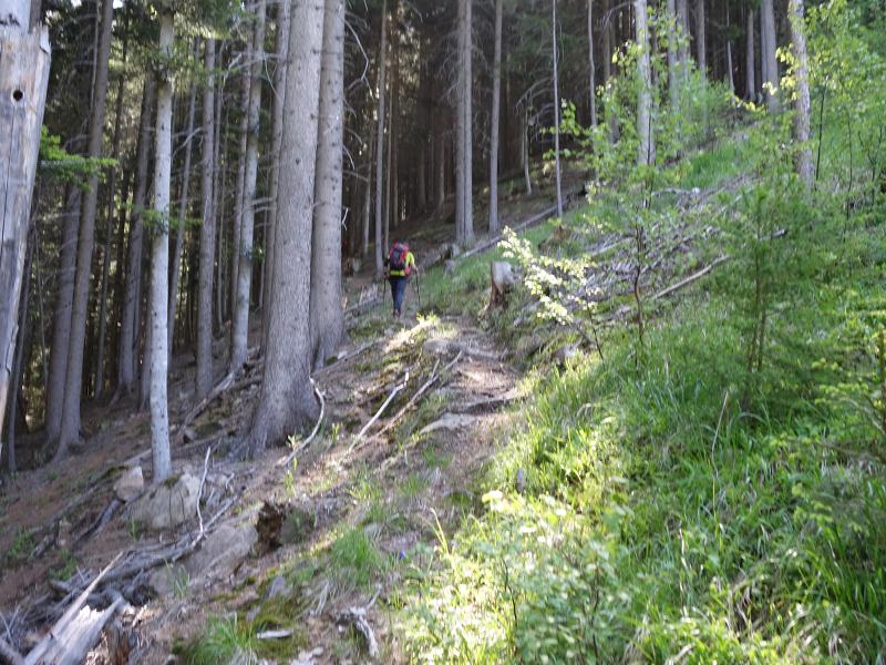
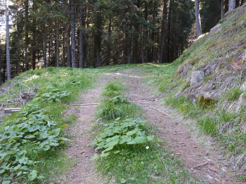
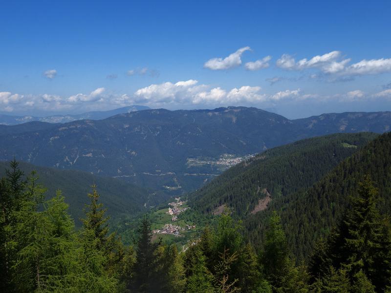
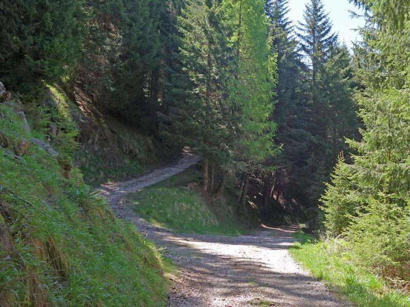
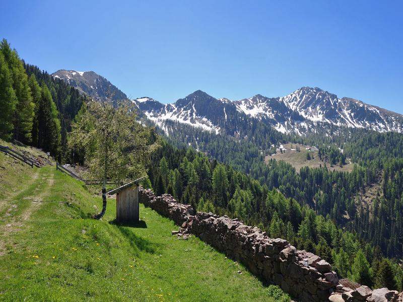
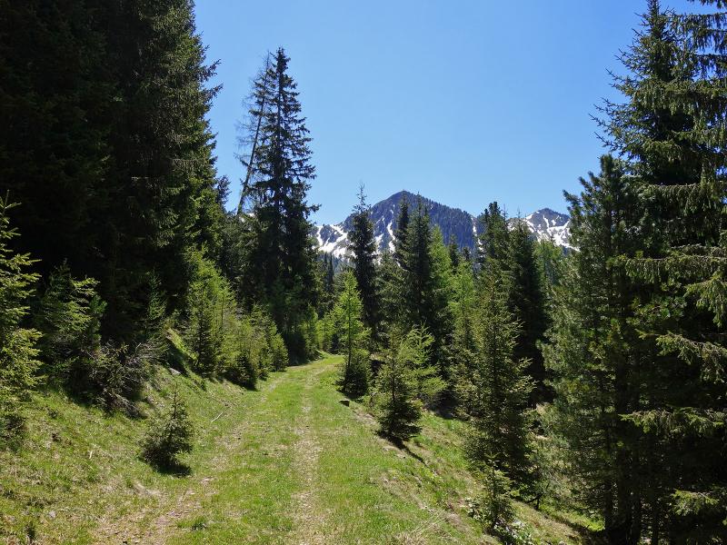
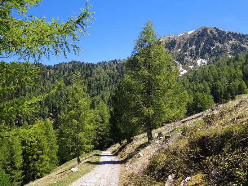
The steep path is not signposted, but we there are only two junctions with other forest paths along the way, which is why it is easy to stay on the right path. A steep climb takes as to 1,800 metres of altitude. From there we enjoy a stunning view of the Val di Fiemme to our feet. Now we follow a forest path towards south for a few hundred metres, then we turn left at the crossroads and follow the path leading uphill towards malga Coston.
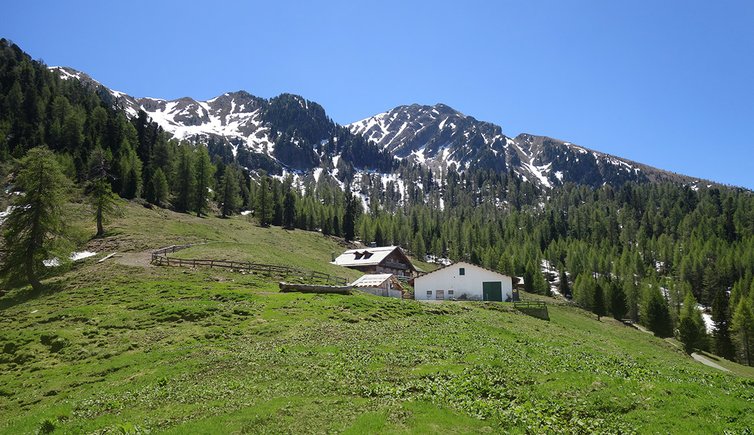
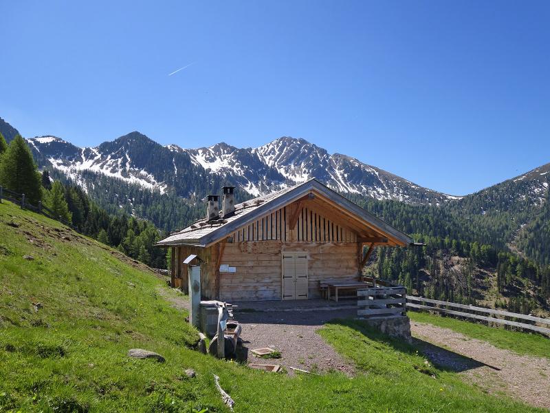
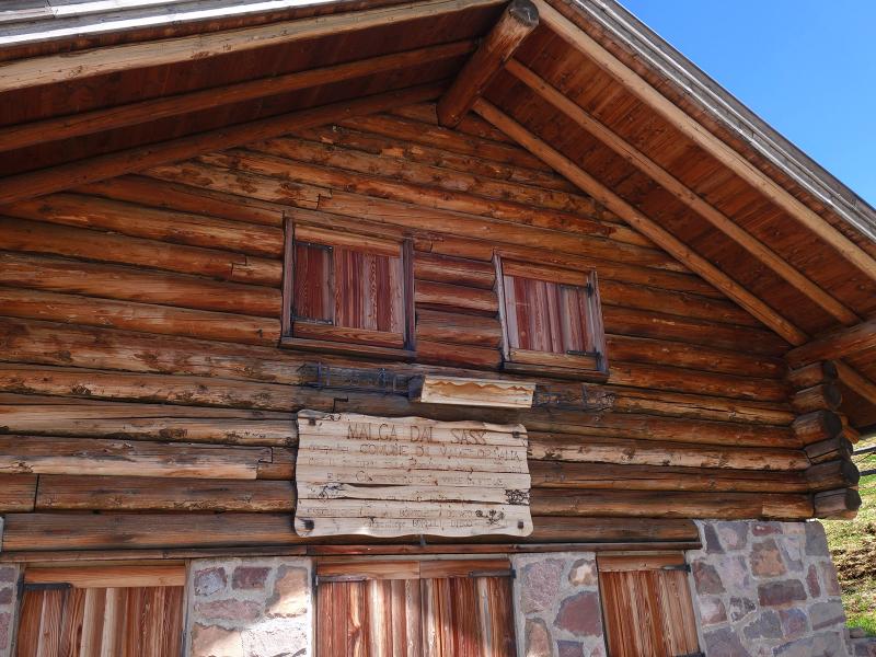
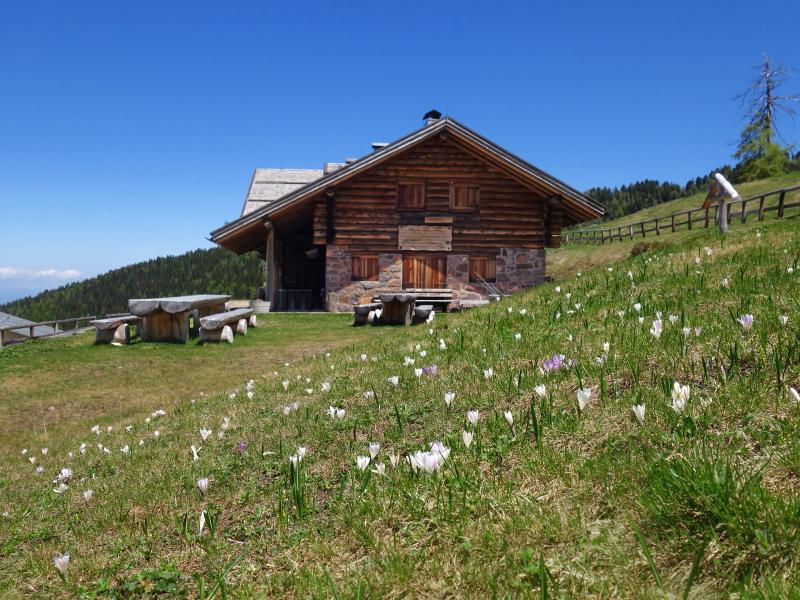
After a short break, we continue on a flat path to Malga dal Sass, a beautiful Malga at 1,910 m a.s.l., below the Busa dal Sas. In early June, the malga is still closed. We stop for our picnic and enjoy a stunning panoramic view before returning to the valley by retracing our steps.
Date of the hike: 8 June 2019
Last updated in: 2026
Author: AT
-
- Starting point:
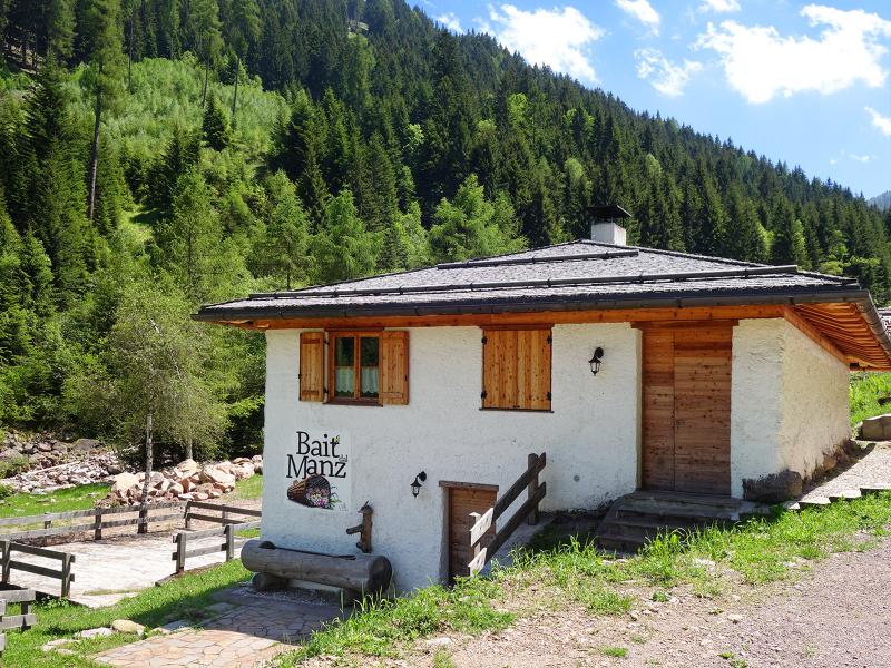
- Valfloriana, Bridge near Bait dal Manz
-
- Overall time:
- 03:25 h
-
- Total route length:
- 8,8 km
-
- Altitude:
- from 1.303 m to 1.906 m
-
- Altitude difference (uphill | downhill):
- +602 m | -602 m
-
- Route:
- Malga Coston, Malga Sass, Malga Sass road, Bait dal Manz hut
-
- Resting points:
- Malga Sass
-
- Recommended time of year:
- Jan Feb Mar Apr May Jun Jul Aug Sep Oct Nov Dec
-
- Download GPX track:
- Hike to Malga Sass in the Valfloriana
If you want to undertake this hike, we recommend checking the weather and trail conditions in advance and on site before starting this hike!