This ascent to the peaks of Ton with a stop at the beautiful Malga Bodrina mountain hut, is a highlight for experienced hikers
Image gallery: Hike to the Bodrina Hut and the Cima Roccapiana
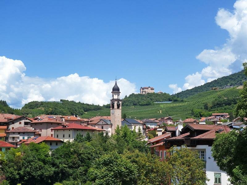
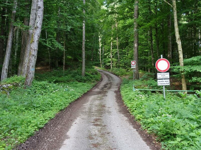
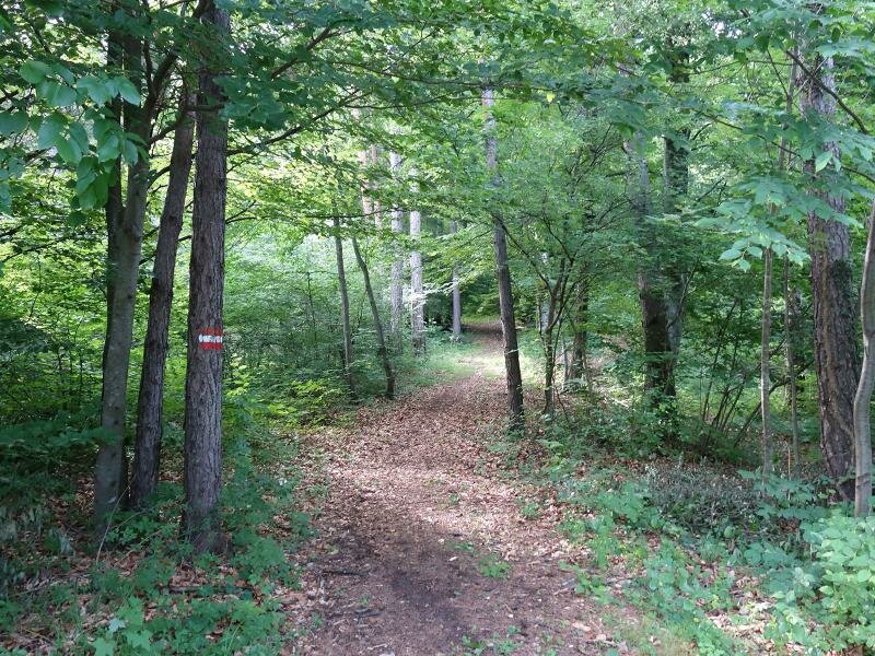
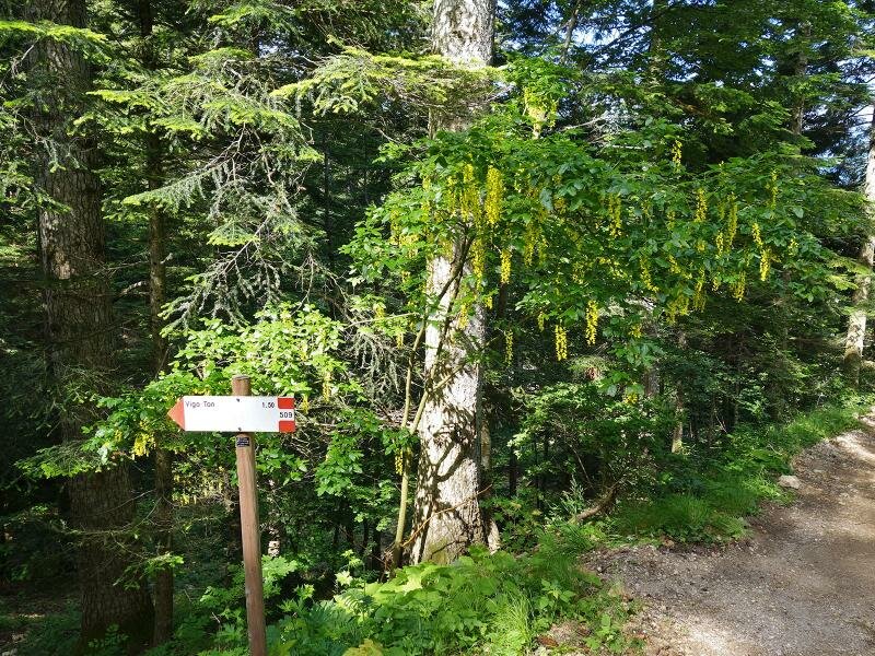
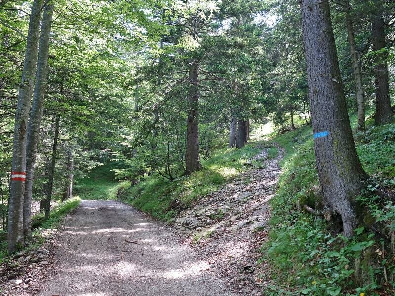
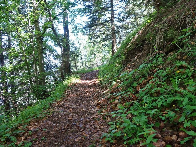
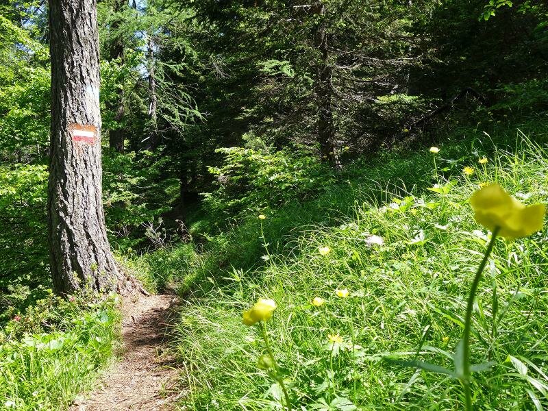
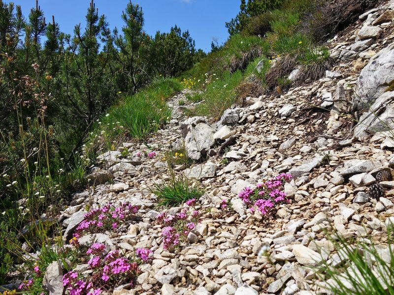
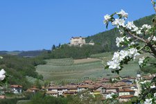
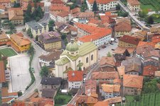
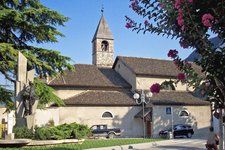
We drive across the centre of Vigo di Ton and follow the signposts of the forest road to Malga Bodrina, our starting point. The small asphalt road takes us to a barrier where access is permitted only for off-road vehicles. We park our car at the small car park and follow the nearby signpost for path no. 509 in its vicinity. We are at almost 600 m a.s.l. and the path - a steep climb - runs uphill through the forest up to the malga at 1,550 m a.s.l.
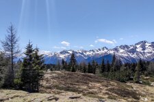
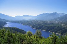
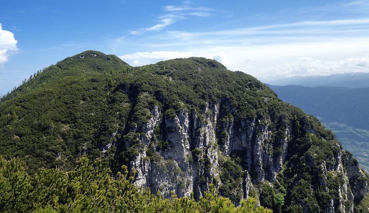
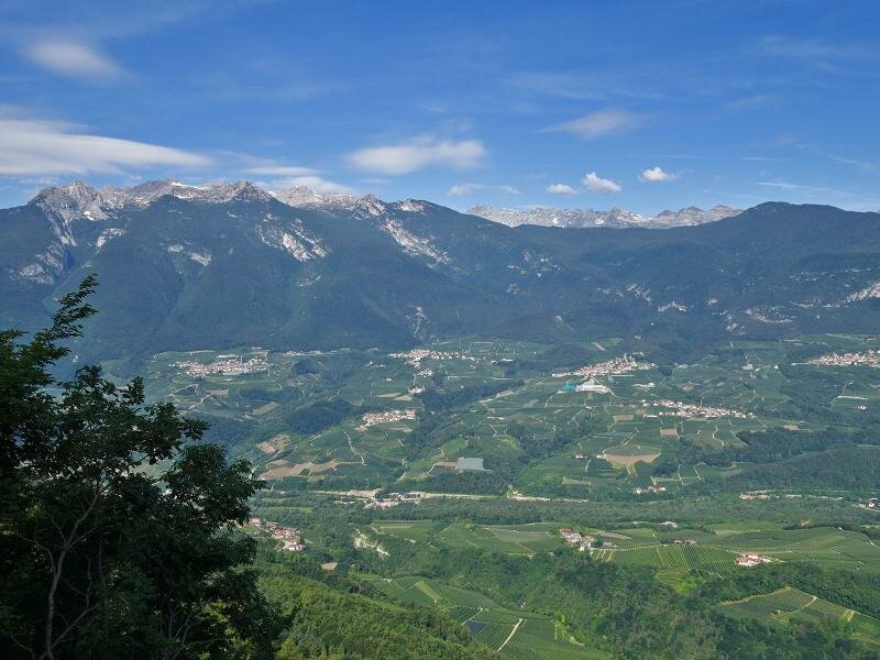
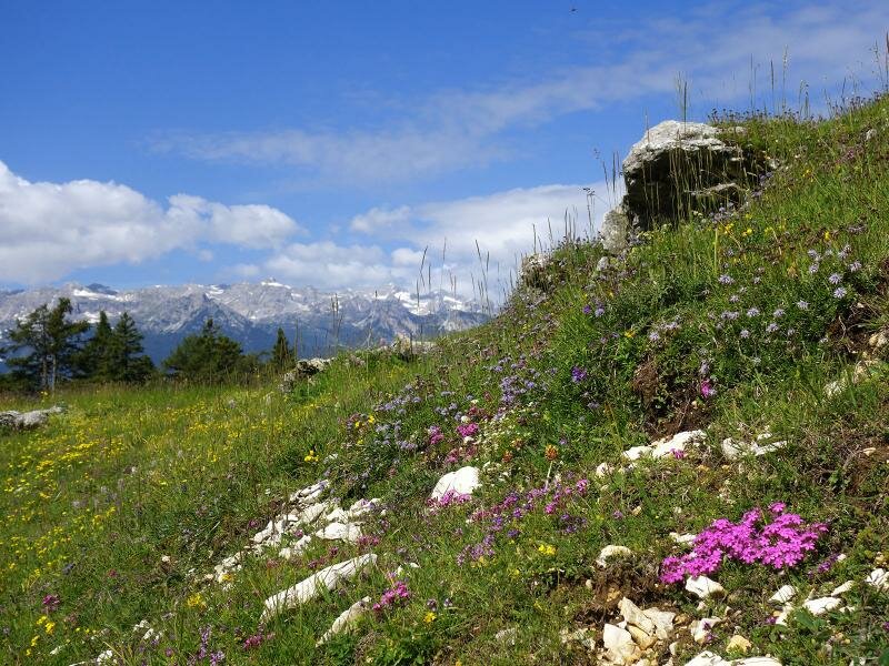
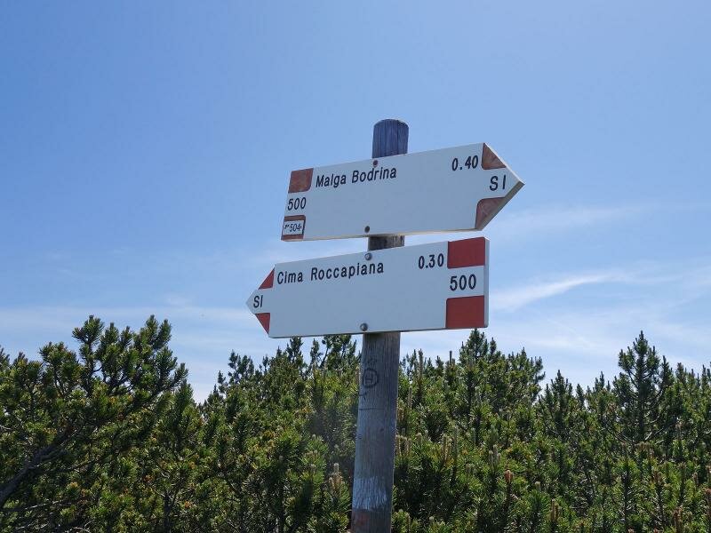
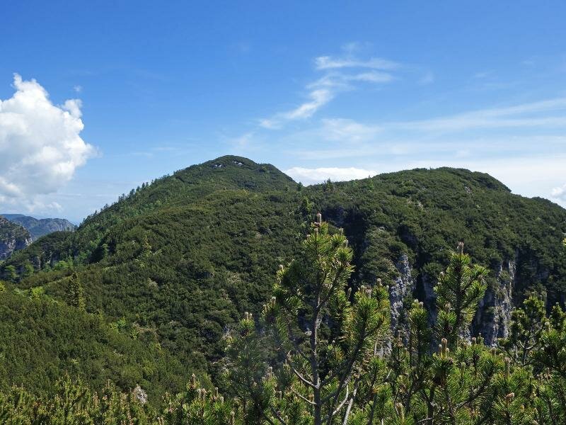
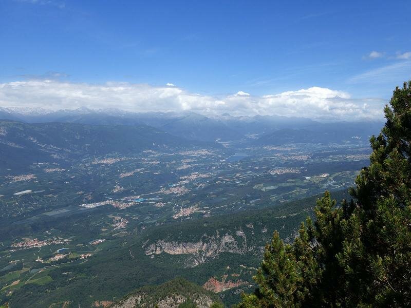
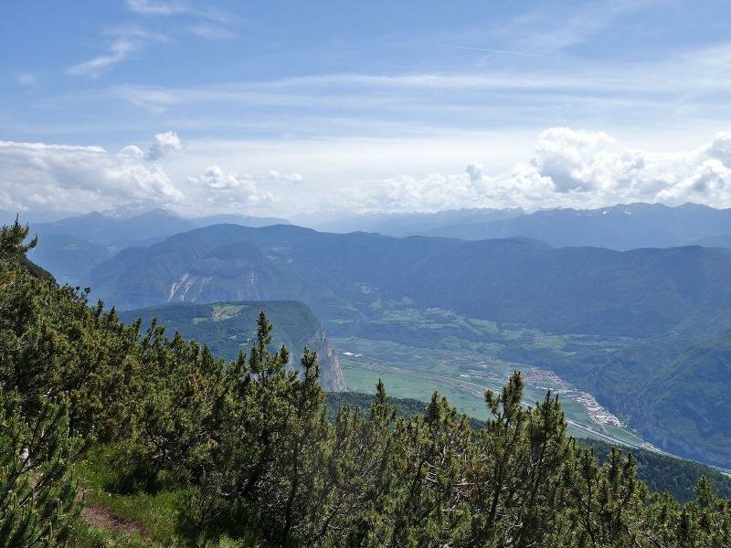
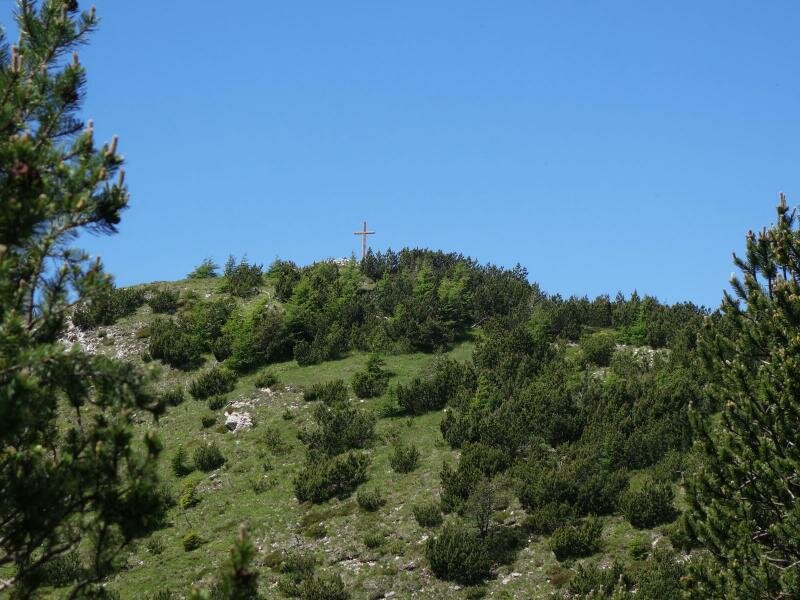
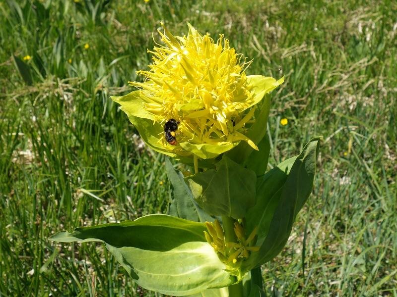
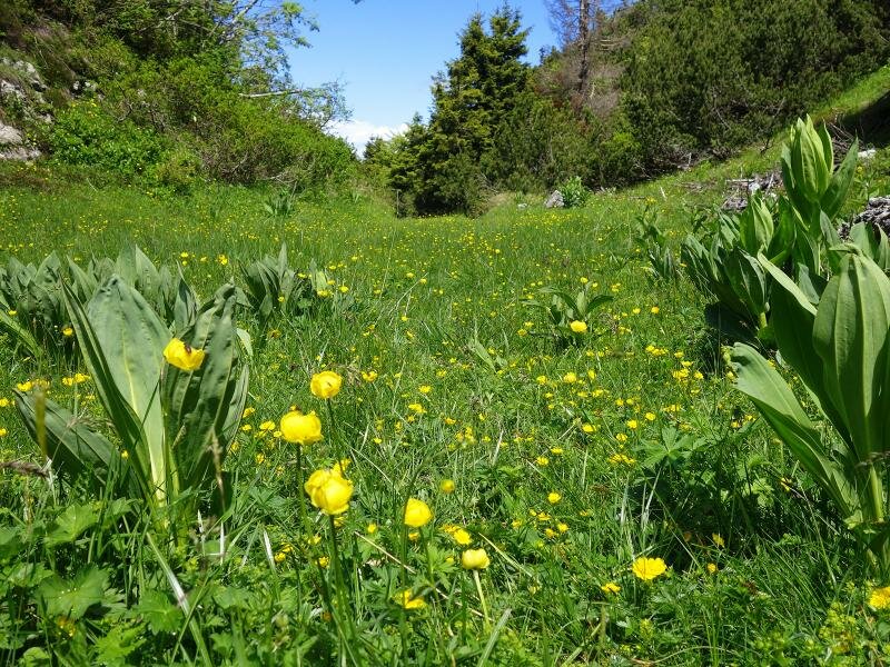
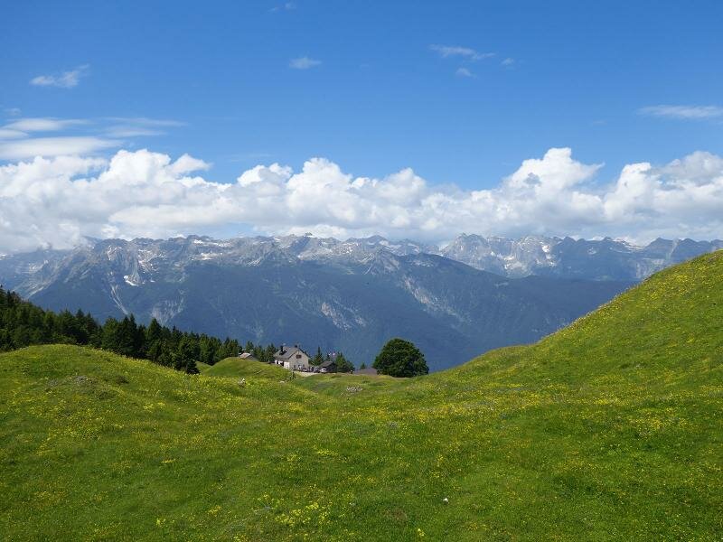
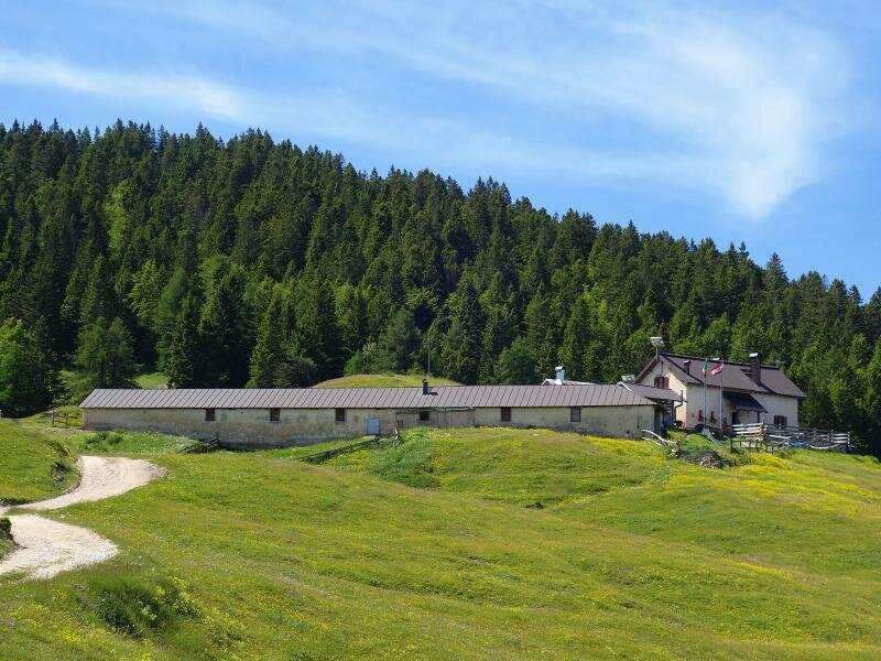
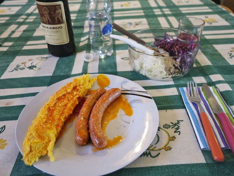
We reach Malga Bodrina almost three hours later, already quite exhausted. However, we still need to tackle another 300 metre climb on path no. 500 to Cima Roccapiana. You should definitely not miss Cima Roccapiana and the nearby Cima Monticello from where the view of the surrounding mountains is truly spectacular. We descend to Malga Bodrina where we eat delicious polenta with sausage. The mountain hut is situated on a huge blooming meadow surrounded by forests.
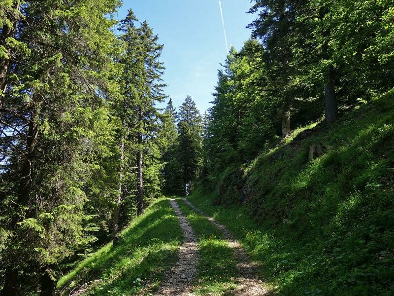
We then return to the car park along a descending forest road (longer but less steep than path no. 509) - a rather challenging but memorable hike! We recommend starting early in the morning when the uphill section are still in the shadow. An early start is critical if you would like to stop for a relaxing lunch break at the Malga Bodrina.
Date of the hike: 9 June 2018
Last updated in: 2026
Author: AT
-
- Starting point:
- Vigo di Ton, parking space at the forest road to the Malga Bodrina mountain hut (barrier)
-
- Total route length:
- 12,1 km
-
- Altitude:
- from 612 m to 1.843 m
-
- Altitude difference (uphill | downhill):
- +1241 m | -1241 m
-
- Route:
- Malga Bodrina – summit of the Cima Roccapiana – Monticello
-
- Signposts:
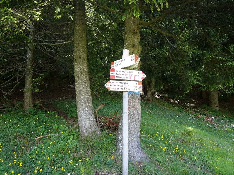
- no. 509, 500
-
- Resting points:
- Malga Bodrina
-
- Recommended time of year:
- Jan Feb Mar Apr May Jun Jul Aug Sep Oct Nov Dec
-
- Download GPX track:
- Hike to the Bodrina Hut and the Cima Roccapiana
If you want to undertake this hike, we recommend checking the weather and trail conditions in advance and on site before starting this hike!