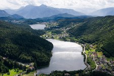
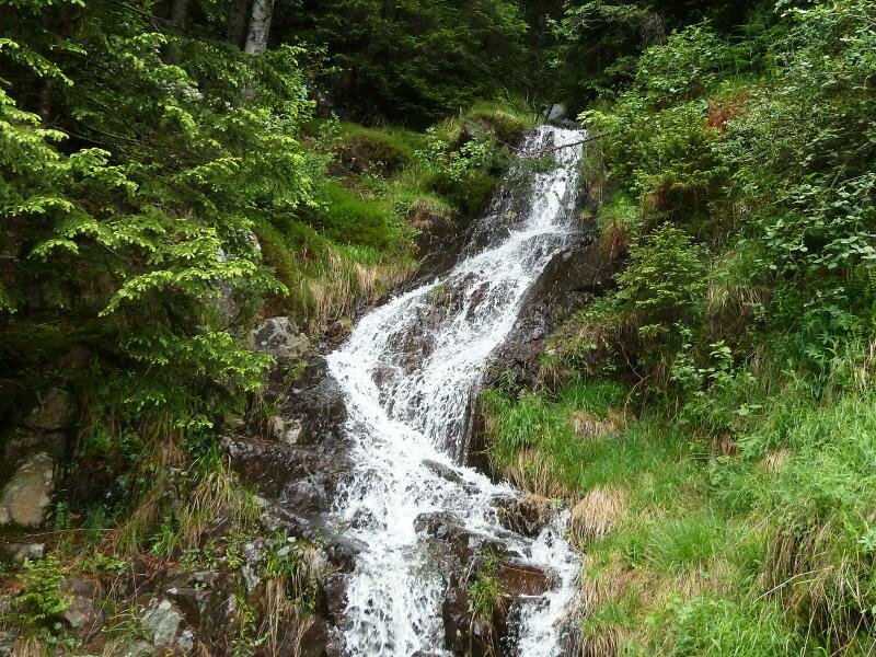
This hike leads to the farms above Grumes across forests and raised bogs in the Val di Cembra, Bassa Atesina in South Tyrol and the Val Donega
Image gallery: Hike to the Rifugio Potzmauer
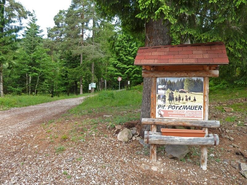
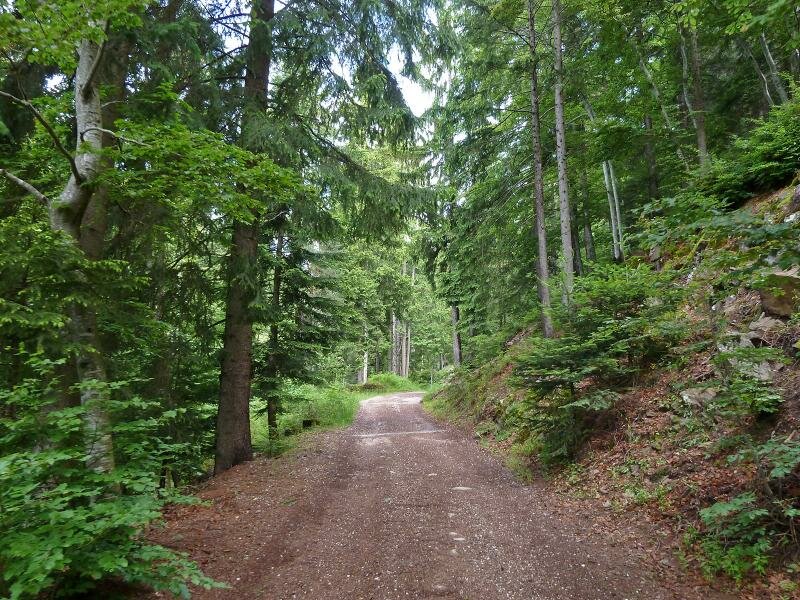
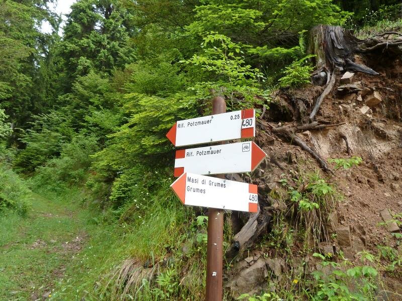
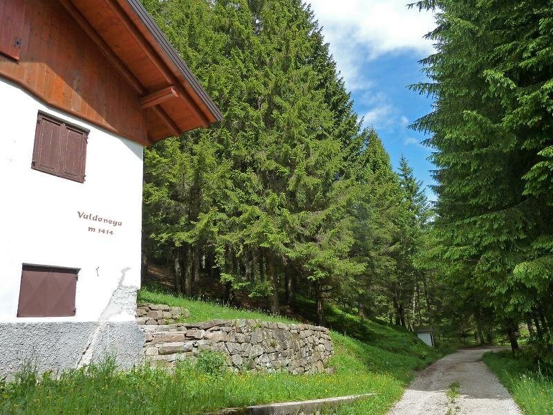
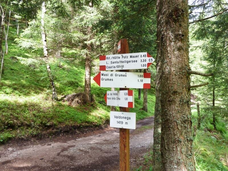
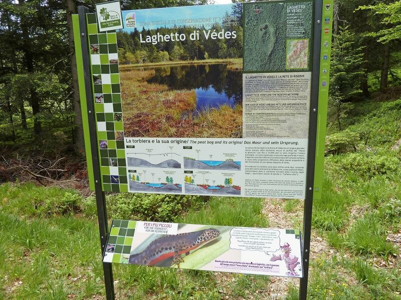
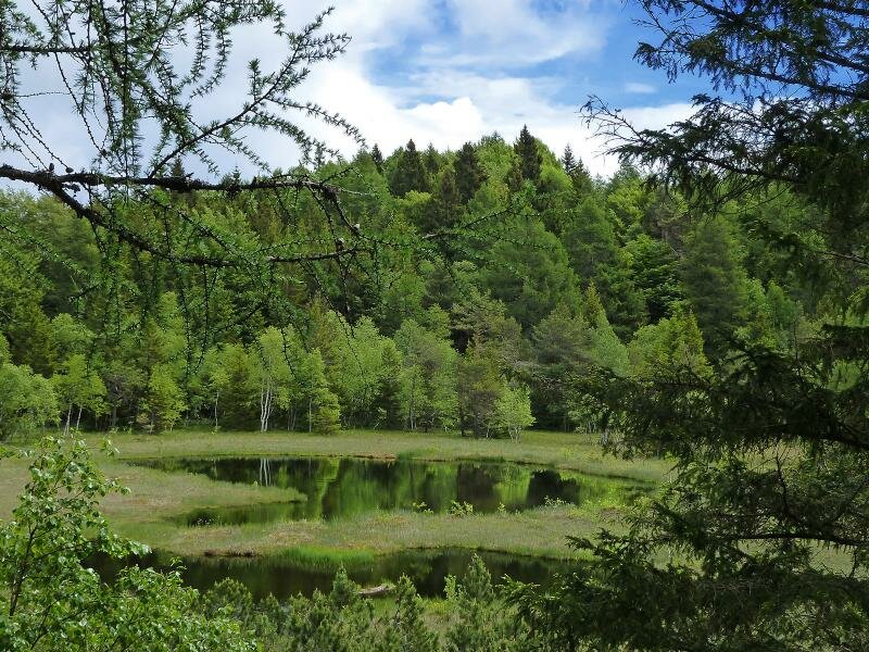
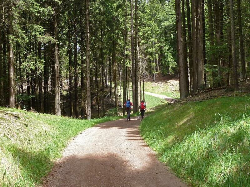
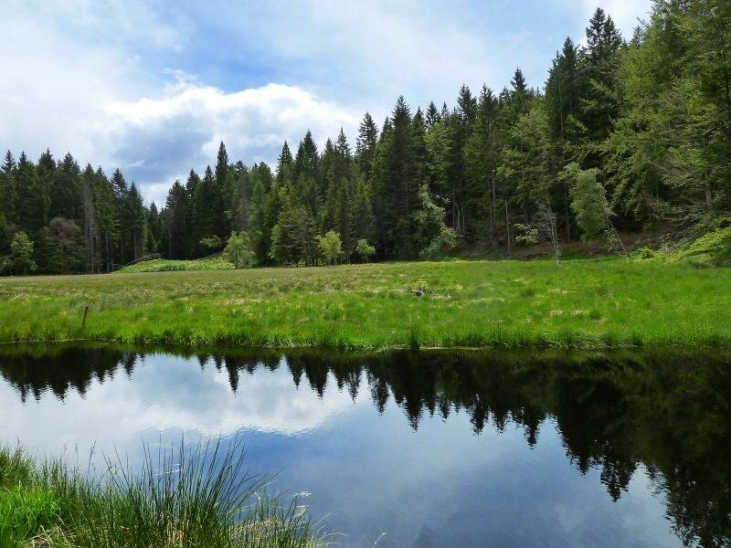
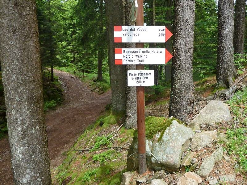
The car park alongside the path to the Rifugio Potzmauer hut, our starting point, is accessible from the village of Grumes in the Val di Cembra. Here, above the farms of Maso Giovanni, we start our hike along a forest road, always keeping to the right. At the crossroads, we follow the signposts for "Rifugio Potzmauer" and then "Valdonega" (a valley). After a 90-minute walk, we arrive at the aforementioned valley. At the first crossroads we take the path to Lac dal Vedes, a small raised bog dating back to the last Ice Age.
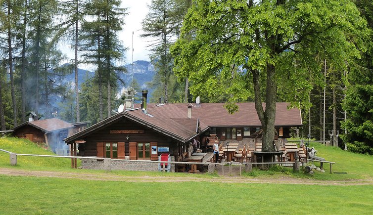
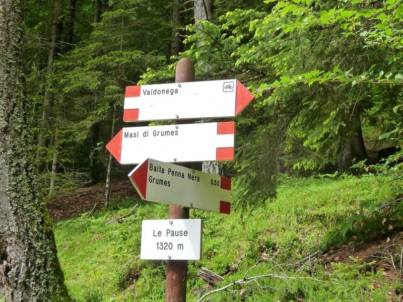
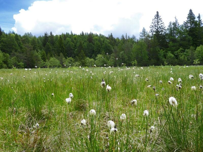
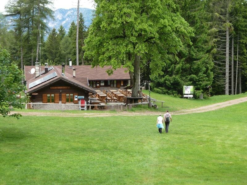
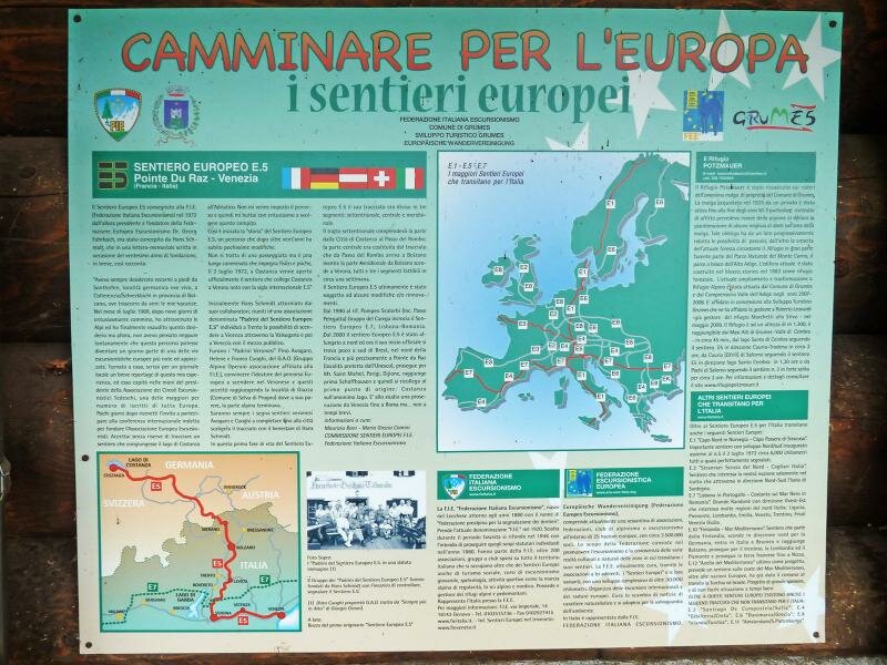
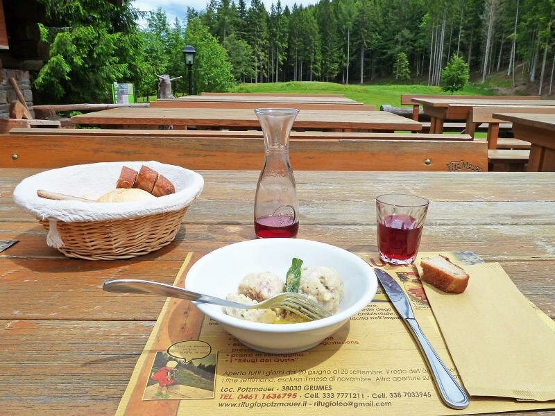
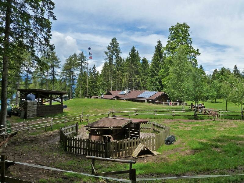
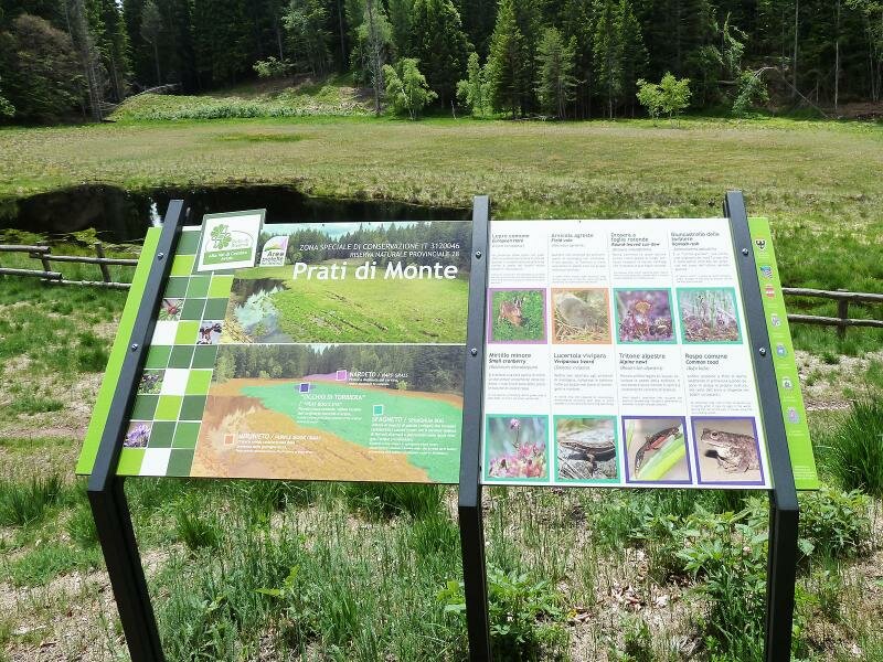
The next section of the path leads towards Rifugio Potzmauer at the edge of a forest clearing. This mountain hut is the only refreshment point in this area and therefore an important destination for hikers walking along the European long-distance path E5 as well. After our lunch break, we proceed to Lago di Valda (Biotopo Prati di Monte) and to Passo Potzmauer, before returning to our starting point.
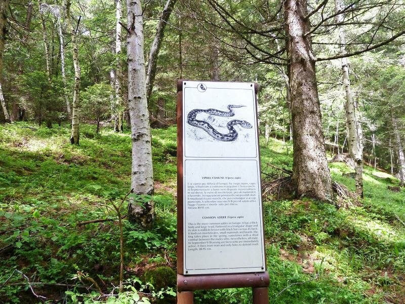
The section leading to the lake is not well signposted, therefore we recommend using a GPS device or a mobile app with mapping features to avoid getting lost in the forest.
Date of the hike: 12 June 2016
Last updated in: 2026
Author: AT
-
- Starting point:
- Grumes, parking space near Maso Giovanni
-
- Overall time:
- 04:45 h
-
- Total route length:
- 13,7 km
-
- Altitude:
- from 1.106 m to 1.517 m
-
- Altitude difference (uphill | downhill):
- +609 m | -609 m
-
- Route:
- Valdonega - Lake Vedes - Rif. Potzmauer mountain hut - Prati di Monte meadows - Potzmauer mountain pass - Maso Giovanni
-
- Resting points:
- Rifugio Potzmauer
-
- Recommended time of year:
- Jan Feb Mar Apr May Jun Jul Aug Sep Oct Nov Dec
-
- Download GPX track:
- Hike to the Rifugio Potzmauer
If you want to undertake this hike, we recommend checking the weather and trail conditions in advance and on site before starting this hike!