This spring hike leads around the lakes below the majestic Paganella
Image gallery: Hike to the Laghi di Lamar
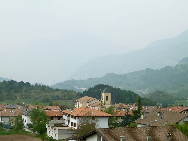
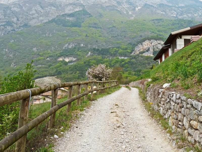
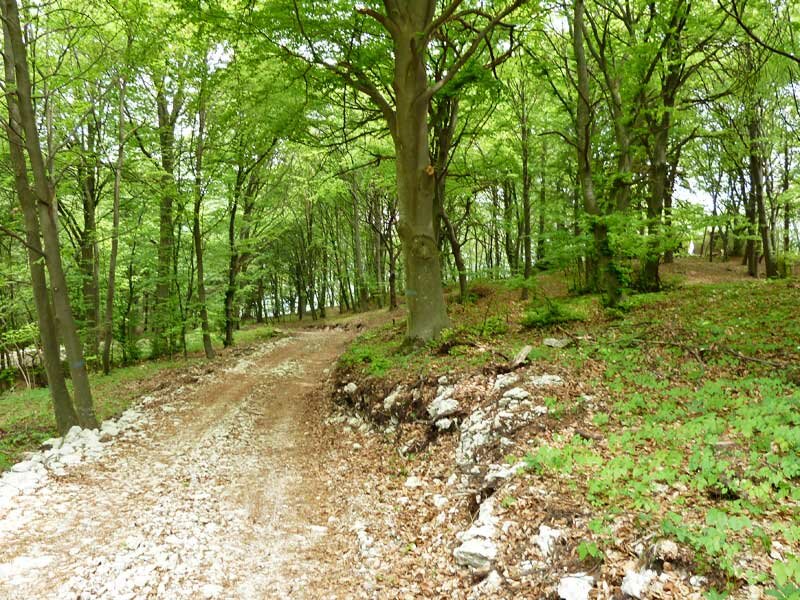
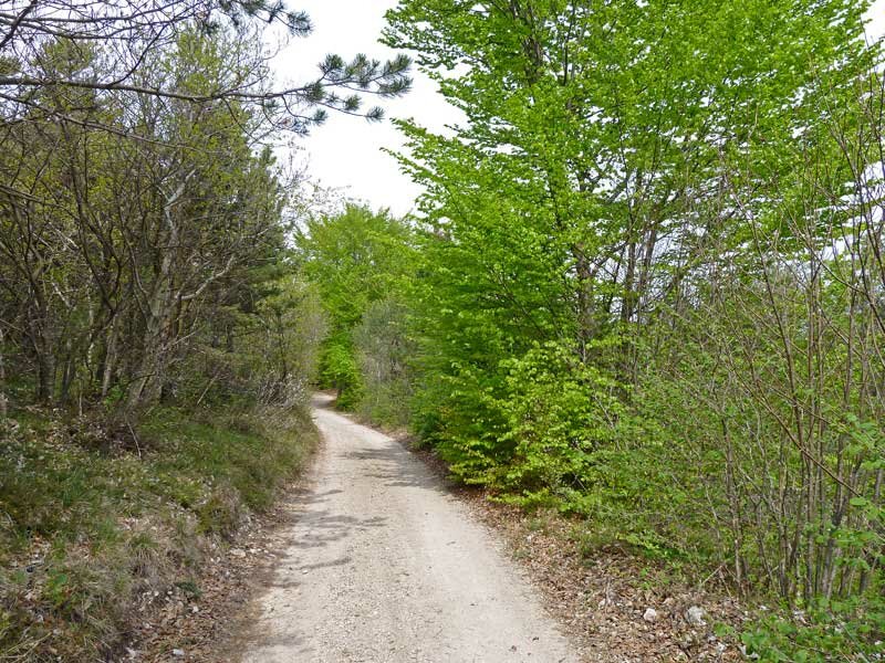
We start in Monte Terlago, a small hamlet in the municipality of Terlago at 690 m a.s.l. Today's weather conditions are unpredictable and currently the sky is cloudy and foggy. We walk towards east along the path branching off from via di Valar and soon reach the asphalt road to the Laghi di Lamar. We follow this path and after a few hundred metres we take the forest path paralleling it.
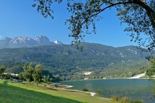
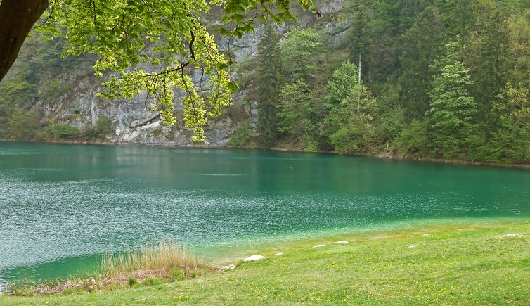
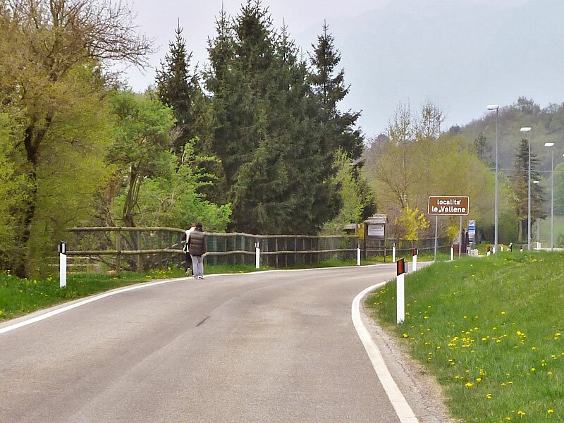
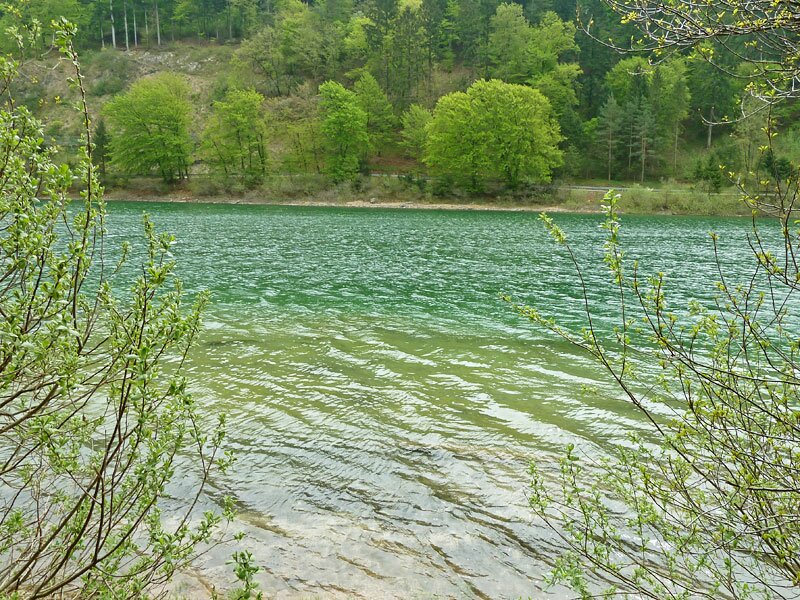
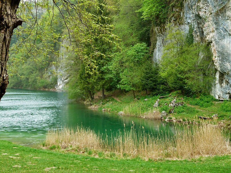
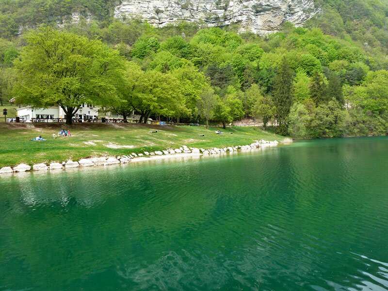
We walk past the picnic area "Fogolari" and arrive at Lago Santo di Terlago, the first lake of the route. Then, we walk around the lake on the left side of the road. Soon we reach the second lake, Lake Lamar, whose water sparkles in different shades of green and turquoise. On the meadow by the lake we stop for a short break.
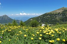
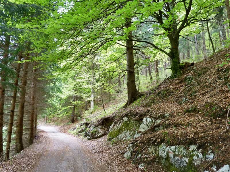
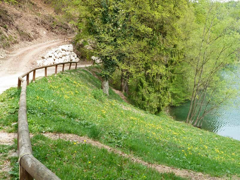
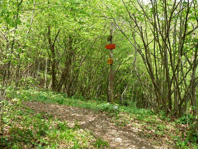
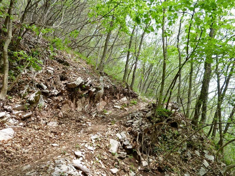
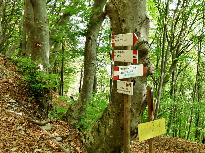
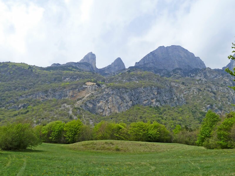
We return along another itinerary. On the western lakeshore, a forest path ascends towards north. At the crossroads we head towards west. We are now on a slope leading to the peaks of the Paganella massif. The itinerary narrows and proceeds along hairpin bends. At an altitude of about 900 m a.s.l. we take path no. 682 which we follow downhill towards south. The route then turns into a forest path running across meadows and forests, before taking us back to Monte Terlago.
Date of the hike: 1 May 2010
Last updated in: 2026
Author: AT
-
- Starting point:
- Monte Terlago
-
- Overall time:
- 03:00 h
-
- Total route length:
- 9,5 km
-
- Altitude:
- from 693 m to 946 m
-
- Altitude difference (uphill | downhill):
- +279 m | -279 m
-
- Signposts:
- Strada dei Laghi di Lamar, 681, 682
-
- Destination:
- Laghi di Lamar (Lakes)
-
- Resting points:
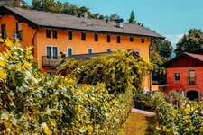
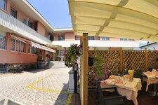
- Albergo ai Laghi, Agritur Le Vallene, Ai tre Faggi
-
- Recommended time of year:
- Jan Feb Mar Apr May Jun Jul Aug Sep Oct Nov Dec
-
- Download GPX track:
- Hike to the Laghi di Lamar
If you want to undertake this hike, we recommend you to check the weather and trail conditions in advance and on site before setting out.