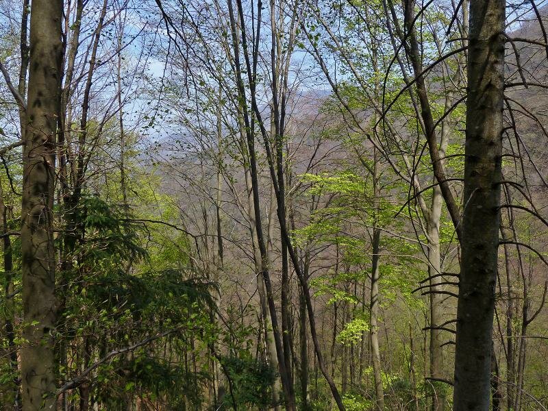
This spring hike through a broad-leaved forest leads to the slopes of the Monti Lessini near Ala, where the view of the Val d’Adige opens up
Image gallery: Hike through the Val Bona valley near Ala
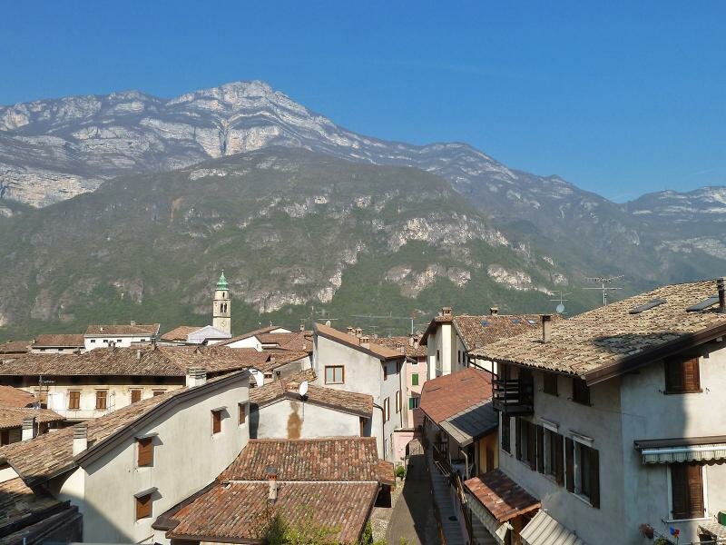
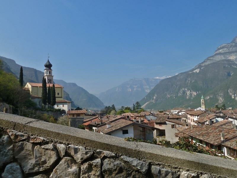
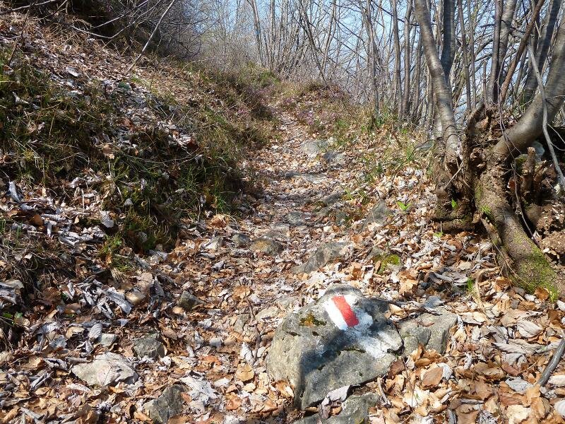
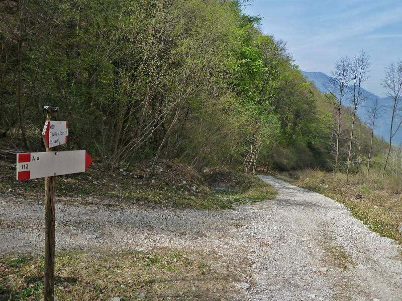

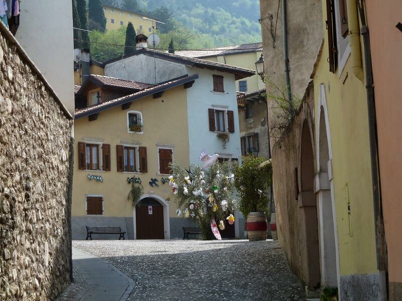
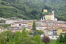
Ala, the town of velvet, is the starting point of our hike on the slopes of Monte Castelberto and the Val Bona. From the village centre below the parish church of Santa Maria Assunta we take path no. 111. We ascend a steep hill with an elevation gain of approximately 520 metres (from 200 m a.s.l. to about 720 m a.s.l.).
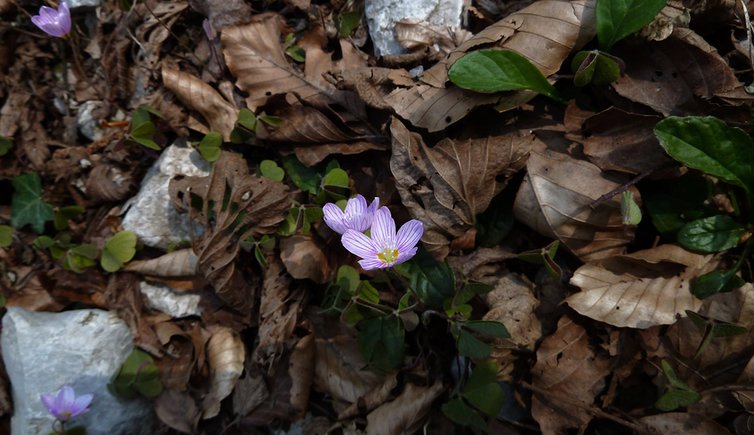
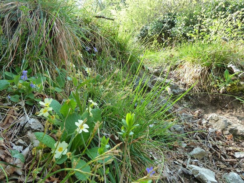
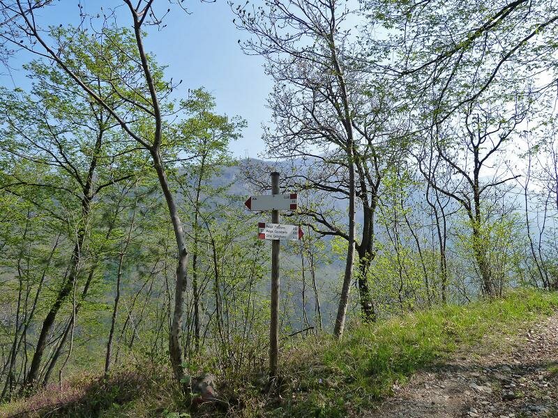
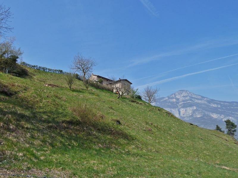
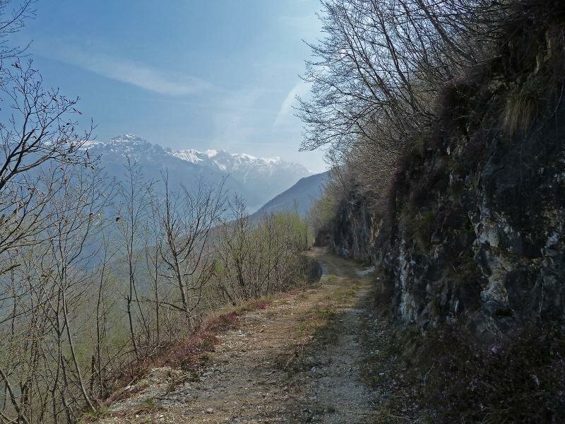
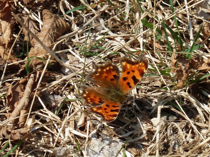
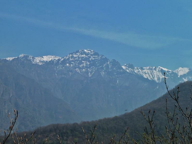
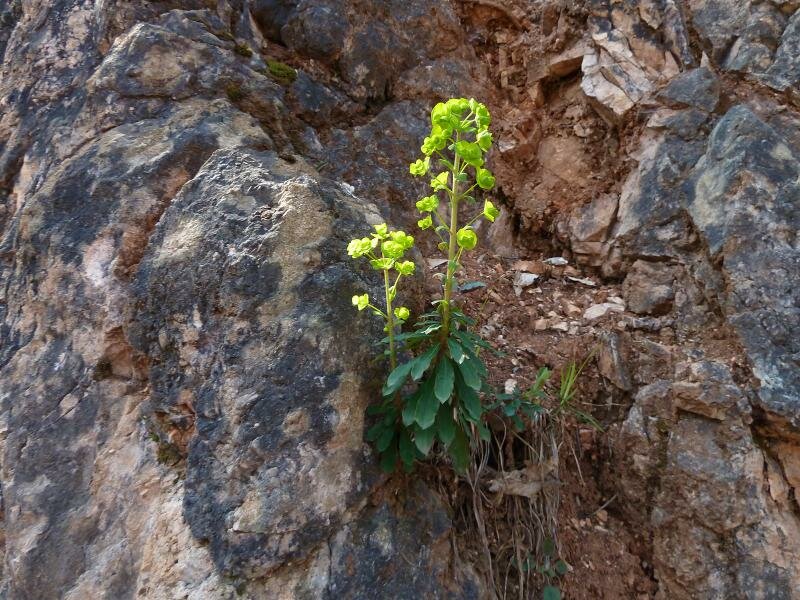
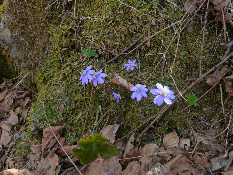
From some clearings and farms along the itinerary, the view opens up over the Val d'Adige and the Monte Baldo chain. Cowslips, liverleafs, violets and Alpine barrenworts bloom amidst the meadows which are slowly turning green. Path no. 111 joins a forest path we follow towards east along the slope of the Val Bona before descending to the valley. Frome here we return to Ala on path no. 113.
Author: AT
-
- Starting point:
- Ala (village centre)
-
- Overall time:
- 03:25 h
-
- Total route length:
- 10,0 km
-
- Altitude:
- from 169 m to 745 m
-
- Altitude difference (uphill | downhill):
- +588 m | -588 m
-
- Signposts:
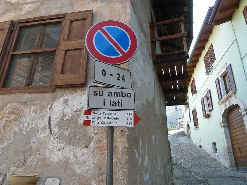
- 111, forest path without markers, 113 [Attention: The start of path no. 111 has been moved. From Ala, continue towards Val Bona on trail no. 113 until you reach the village of Casino di Bersaglio (10-15 minutes from the previous starting point), where you will find the signpost indicating the current start of trail no. 111 towards Malga Foppiano - Malga Castelberto]
-
- Recommended time of year:
- Jan Feb Mar Apr May Jun Jul Aug Sep Oct Nov Dec
-
- Download GPX track:
- Hike through the Val Bona valley near Ala
If you want to undertake this hike, we recommend you to check the weather and trail conditions in advance and on site before setting out.