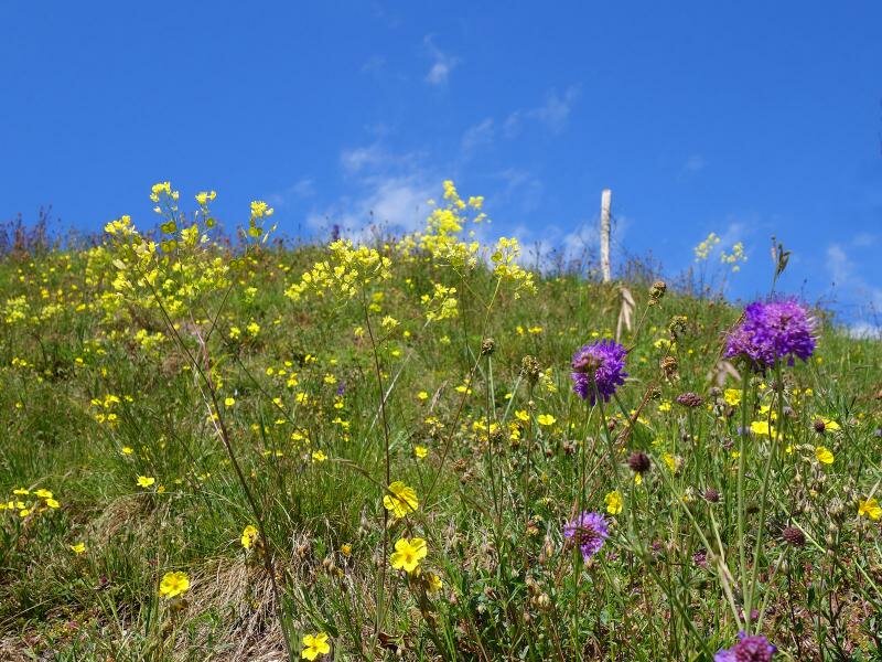
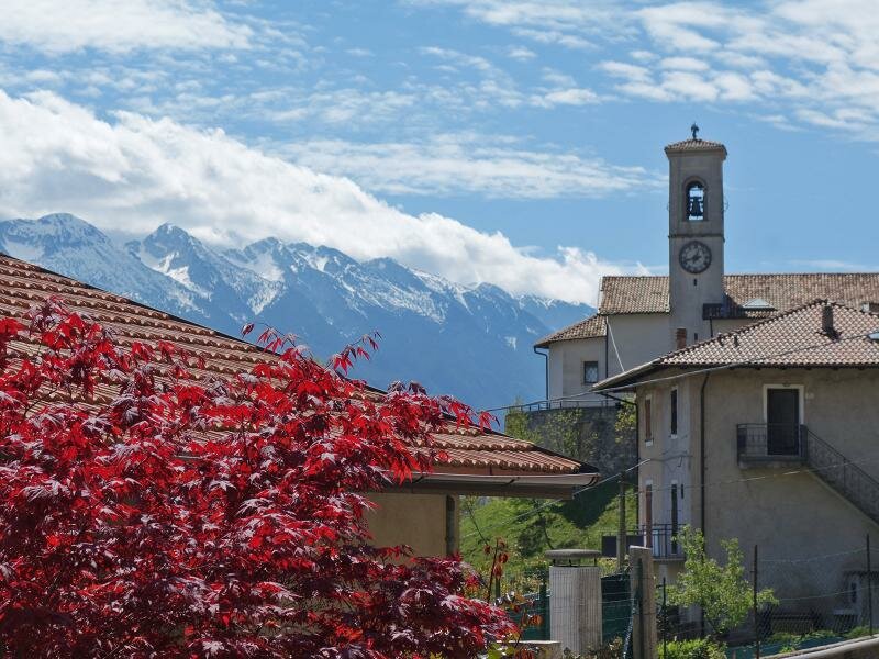
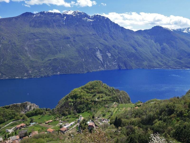
This circular walk with views of Lake Garda is highly recommended in spring and autumn
Image gallery: Hike via Pregasina to the Cima Nodice Peak
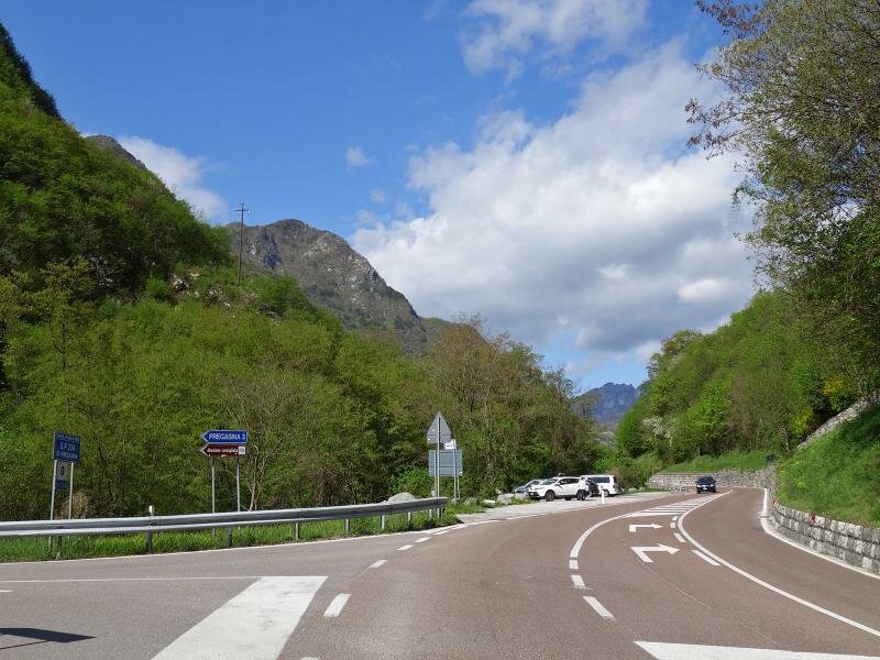
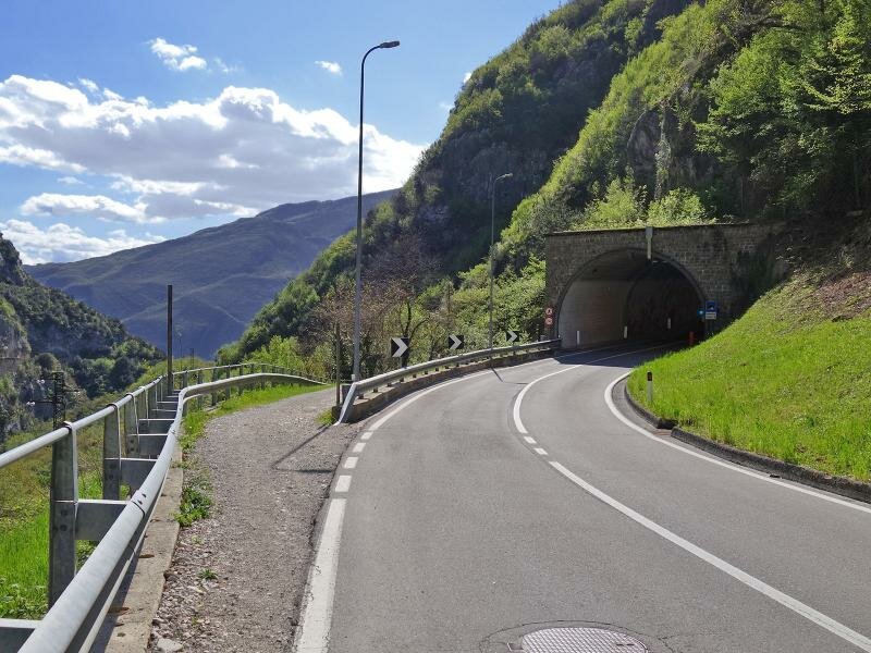
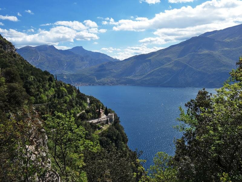
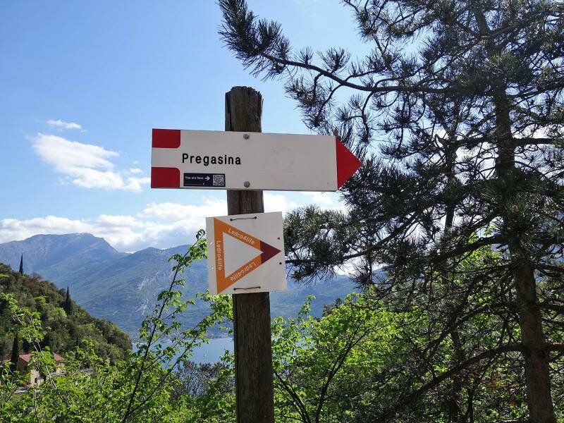
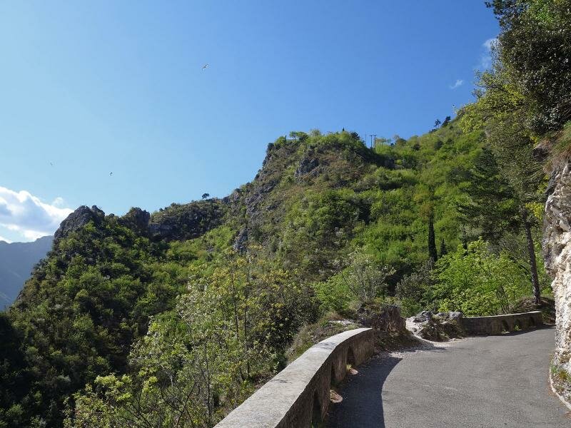
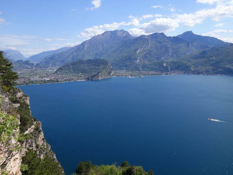
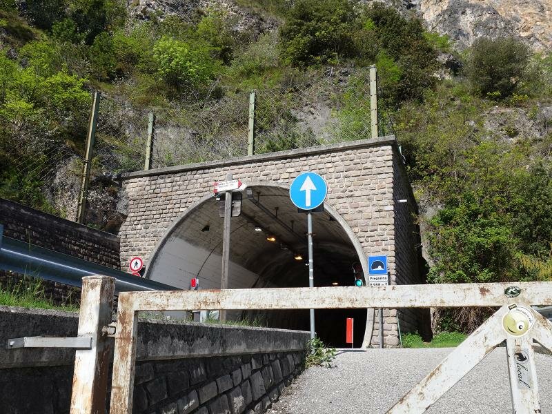
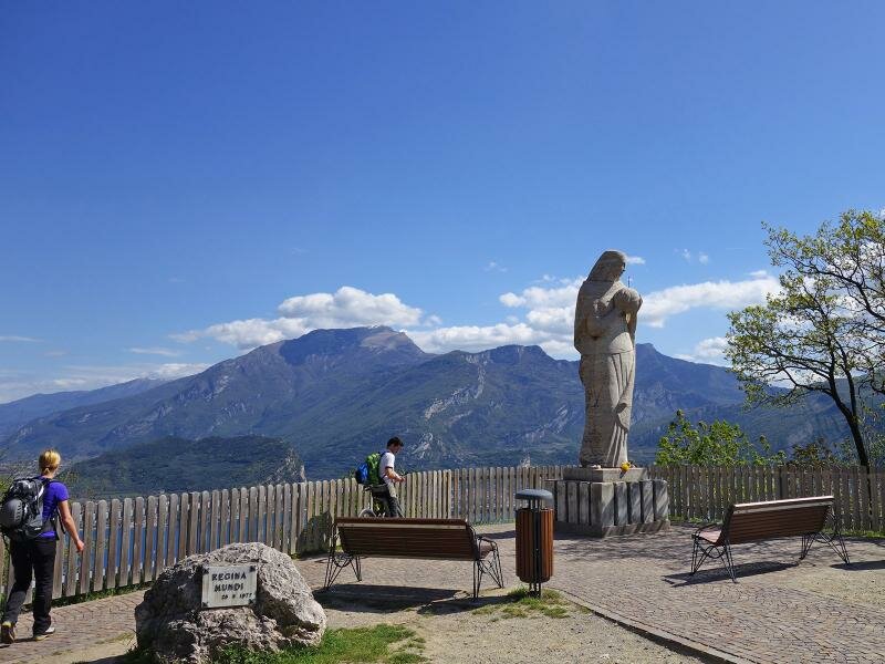
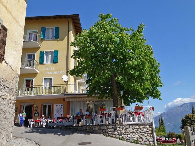
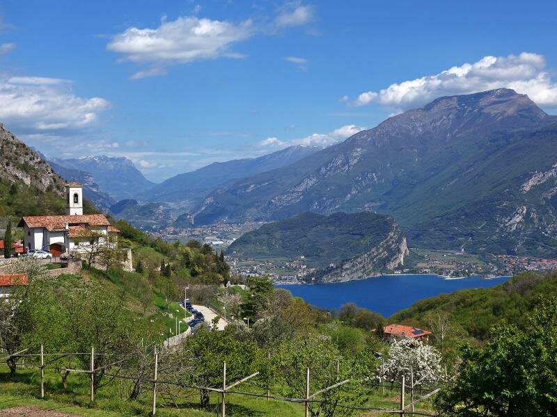
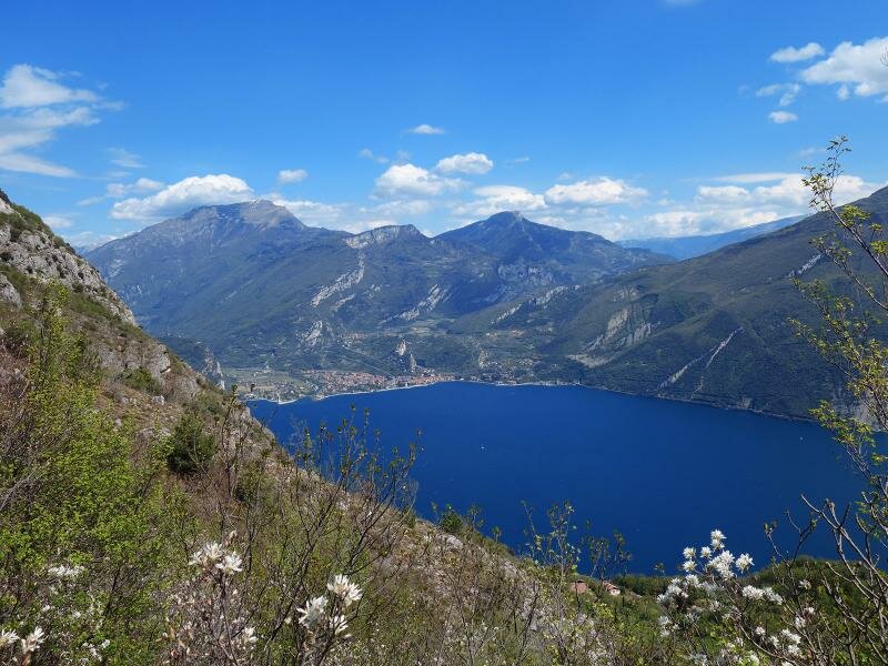
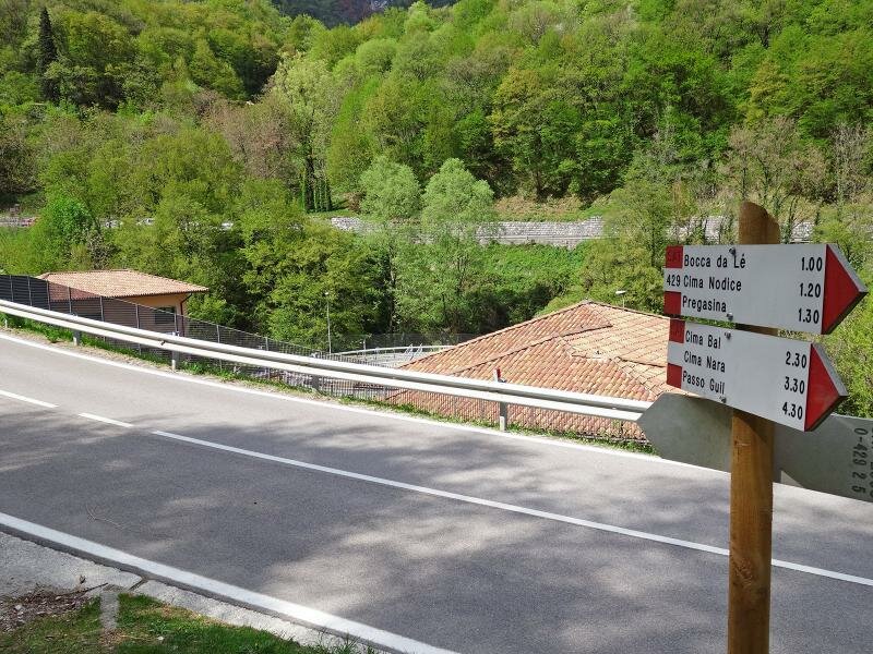
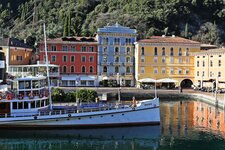
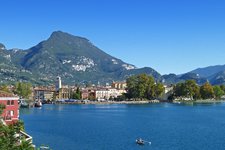
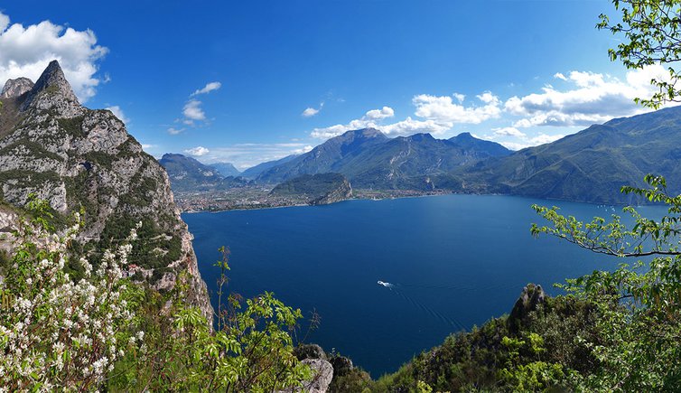
Our starting point is the car park along the road between Riva del Garda and the Val di Ledro which we take right after the paired tunnel where the road to Pegasina branches off. We walk along the asphalt road to Pregasina for a few hundred metres and shortly before a tunnel the Sentiero del Ponale branches off on the left. We follow this path downhill and after a staircase we take the path to Pregasina. This former access road was turned into a hiking and cycle path and offers stunning views of the northern part of Lake Garda. We climb a few hairpin bends and reach the small settlement of Pregasina.
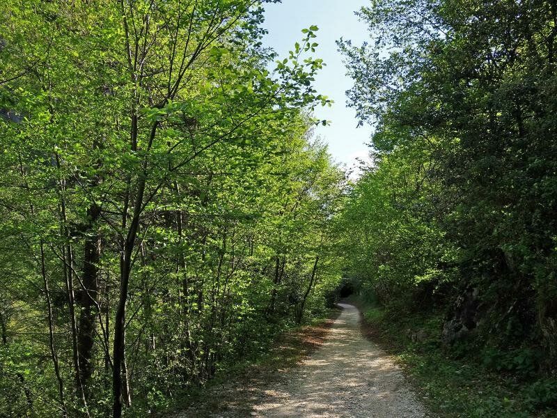
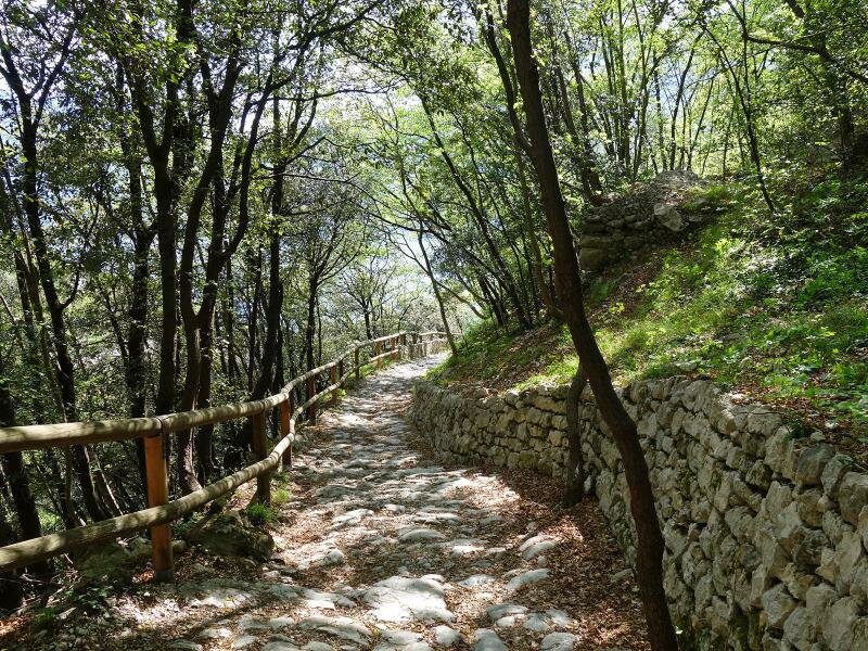
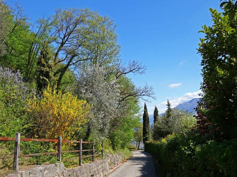
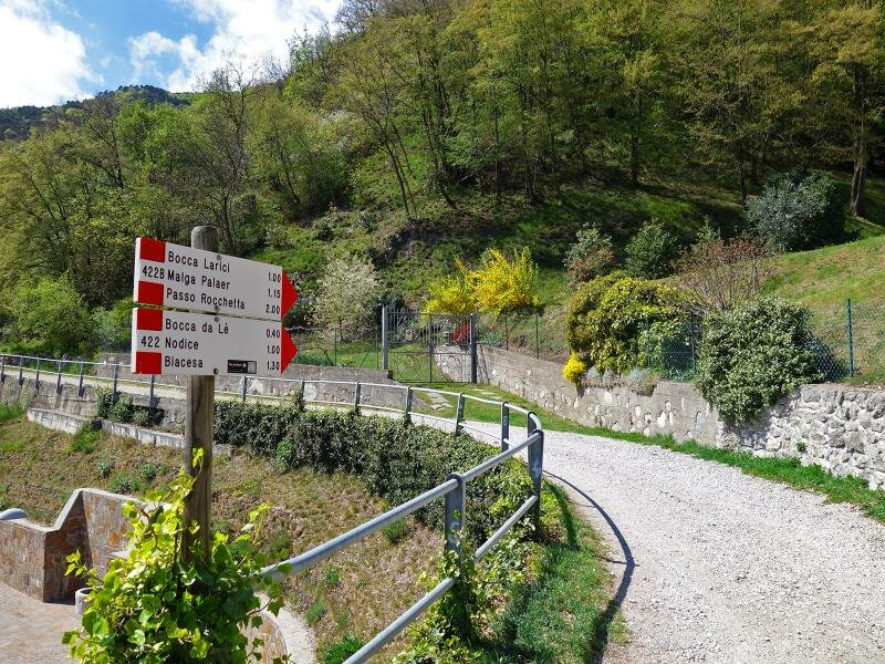
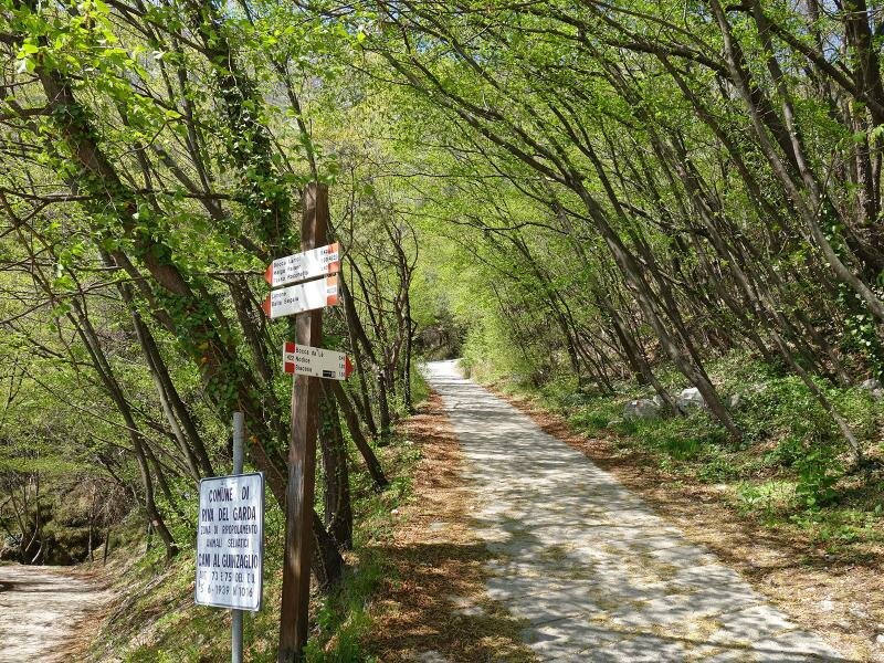
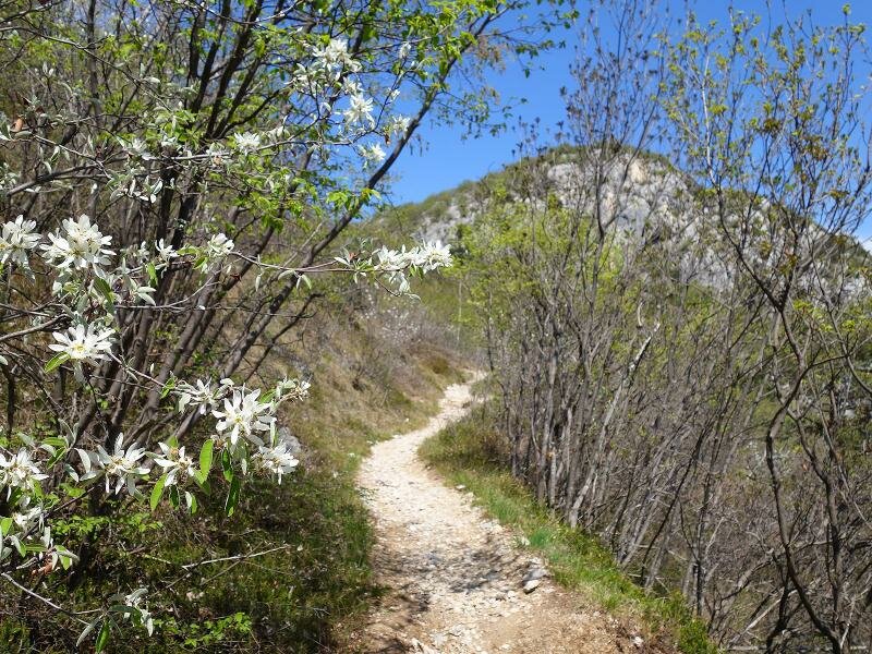
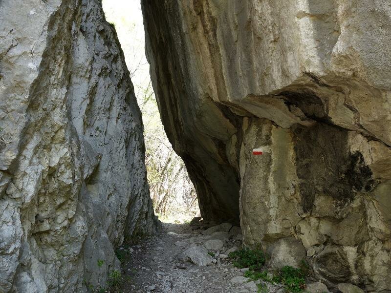
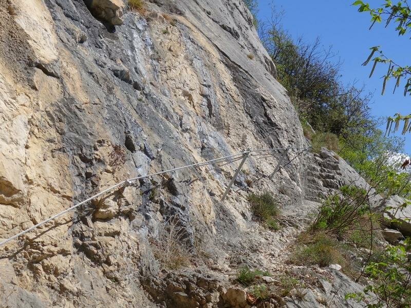
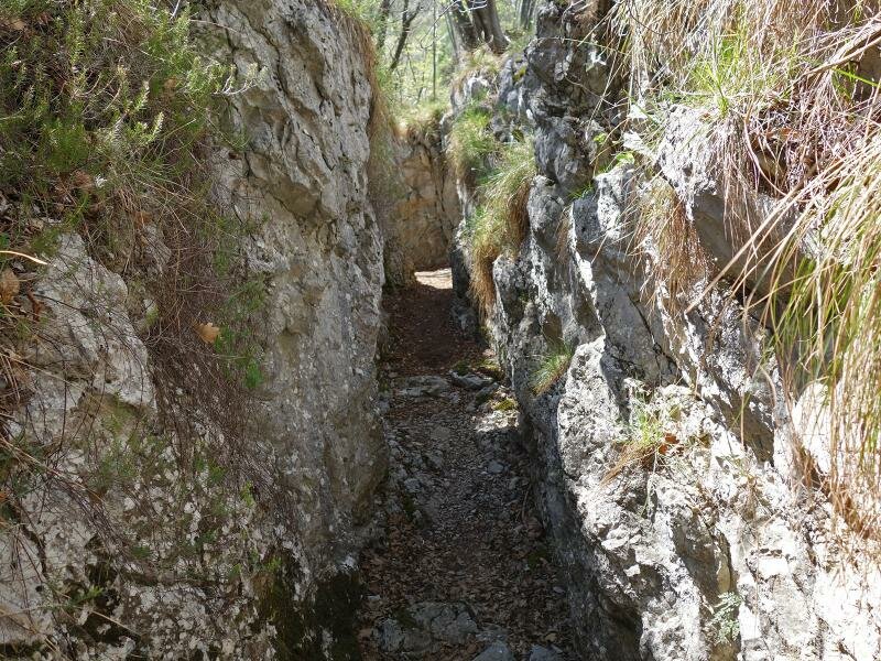
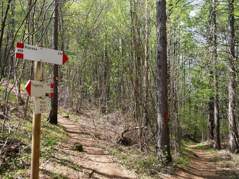
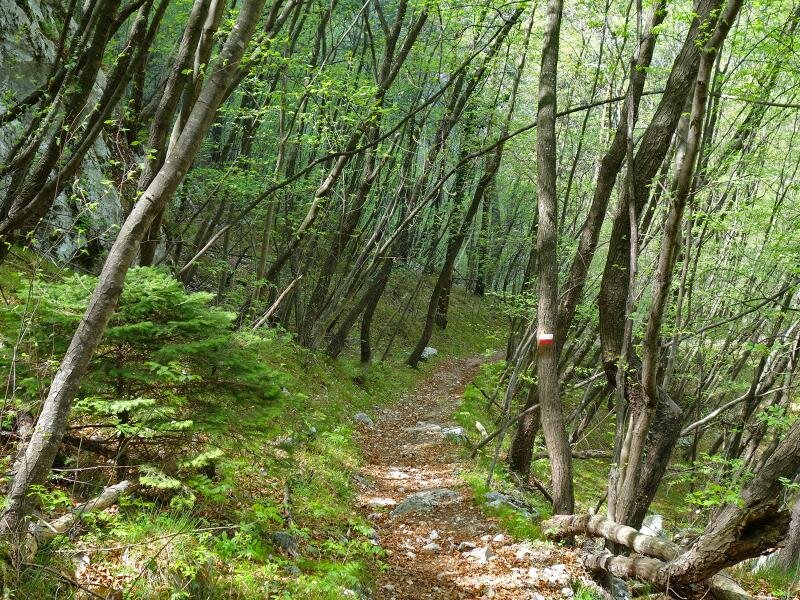
After our lunch break we climb the path leading past the S. Giorgio church and to the forest. Path no. 422 takes us to a forest path ascending higher and higher to the "Scala Santa" around the rocks of the 859-metre high summit of Mt Nodice. The exposed spots right before our destination are secured with steel ropes. We walk past several caves and trenches built during the Great War when the border between Italy and Austria lied right here. The "Biacesa" signpost takes us downhill through the forest where we need to tackle some steep and slippery sections. This path takes us back to our starting point in the proximity of the car park.
Date of the hike: 16 April 2016
Last updated in: 2026
Author: AT
-
- Starting point:
- parking space at the road Riva-Ledro, junction Pregasina
-
- Overall time:
- 03:10 h
-
- Total route length:
- 8,9 km
-
- Altitude:
- from 211 m to 814 m
-
- Altitude difference (uphill | downhill):
- +624 m | -624 m
-
- Signposts:
- D01, Sentiero del Ponale, Pregasina, 422, 429
-
- Destination:
- Pregasina, Cima Nodice
-
- Resting points:
- Albergo Rosalpina, Albergo Panorama
-
- Recommended time of year:
- Jan Feb Mar Apr May Jun Jul Aug Sep Oct Nov Dec
-
- Download GPX track:
- Hike via Pregasina to the Cima Nodice Peak
If you want to undertake this hike, we recommend checking the weather and trail conditions in advance and on site before starting this hike!