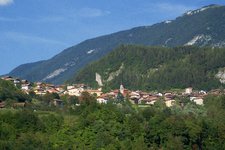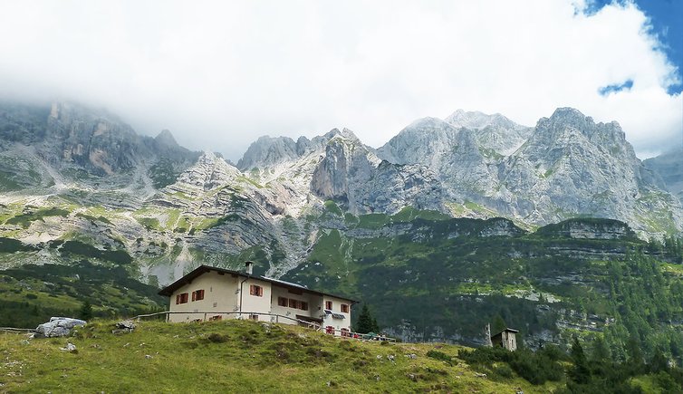
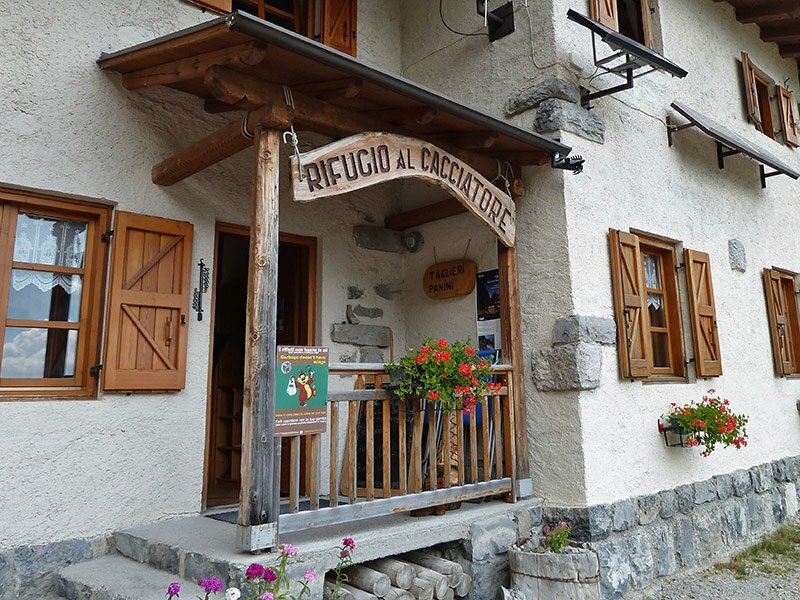
A hike in the impressive Val d’Ambiez: from San Lorenzo in Banale uphill to the Rifugio Al Cacciatore beneath the towers of the Brenta Dolomites
Image gallery: Hike through the Ambiez
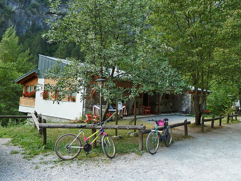
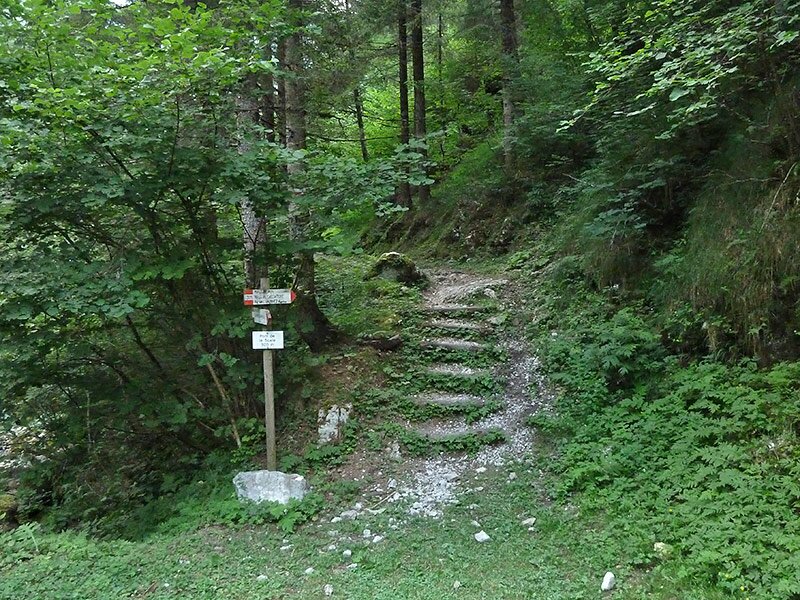
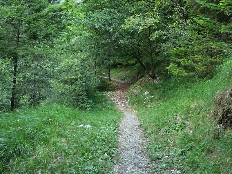
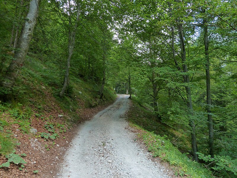
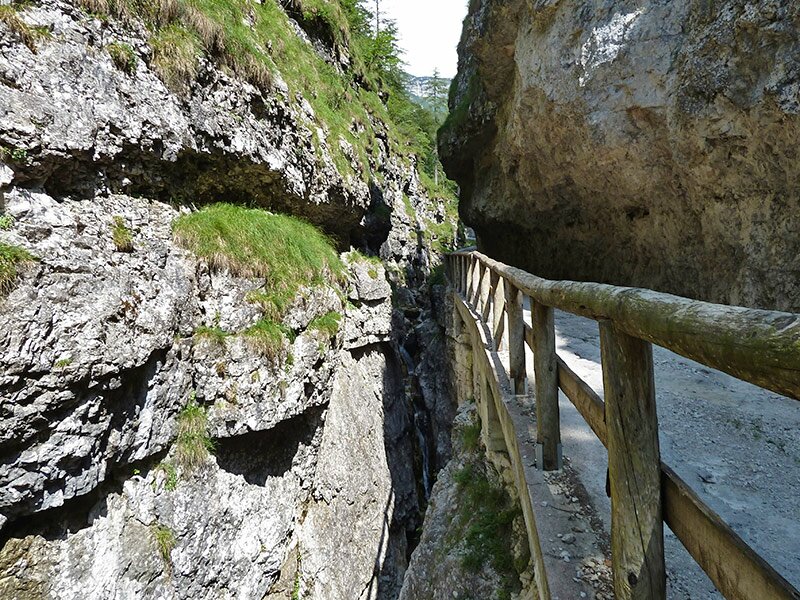
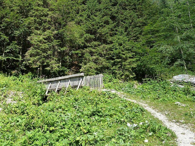
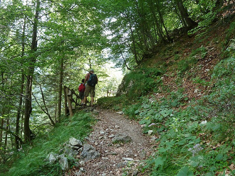
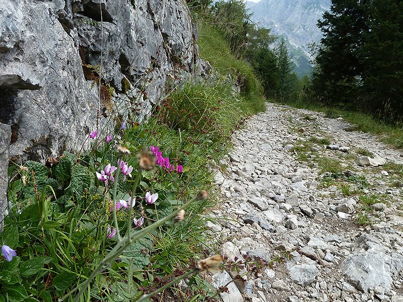
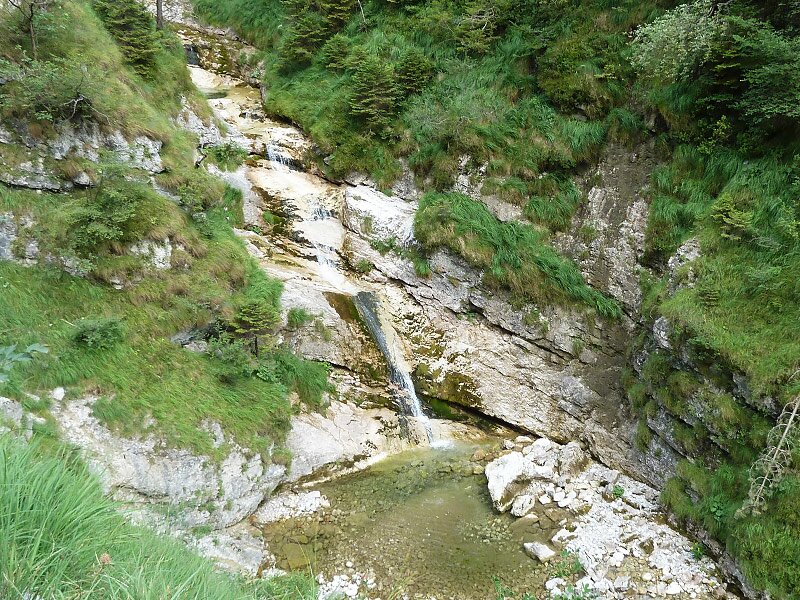
Our itinerary from the Ristoro Dolomiti di Brenta at the entrance to the Val d'Ambiez to the Rifugio Al Cacciatore involves covering an ascent of 1,000 m a.s.l. We park our car near the Ristoro and begin our hike on an unpaved path. After 500 metres, we take path no. 325 on the right, leading us through alpine meadows to the abandoned Malga Laon, before rejoining the unpaved path. Near the "Pont de Broca" we cross a narrow gorge, formed by the waters of the Rio Ambiez which flows on the rocky side of the gorge.
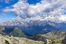
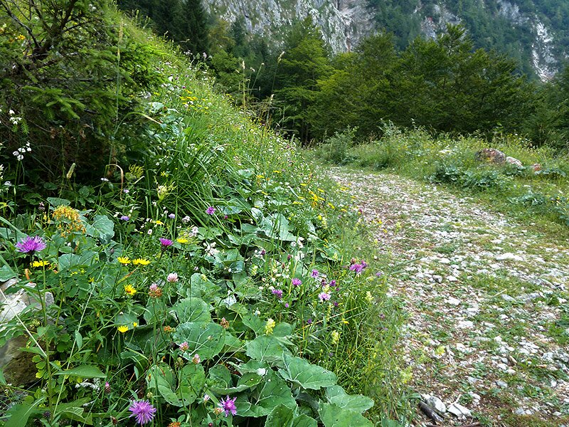
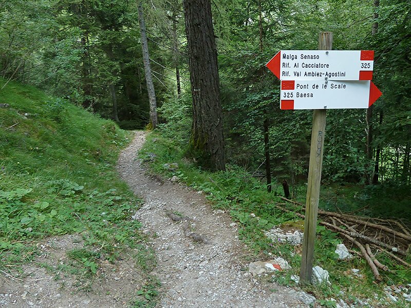
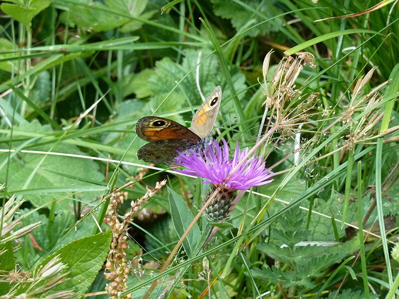
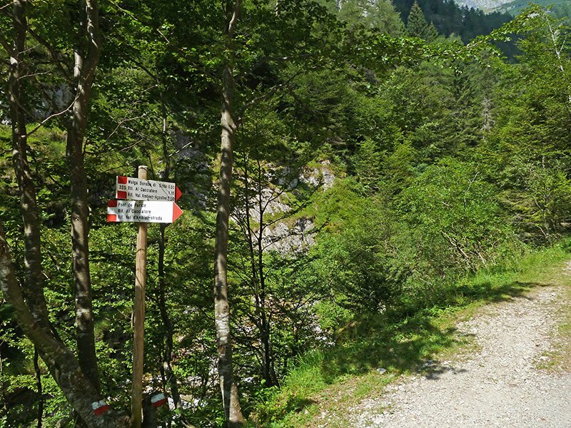
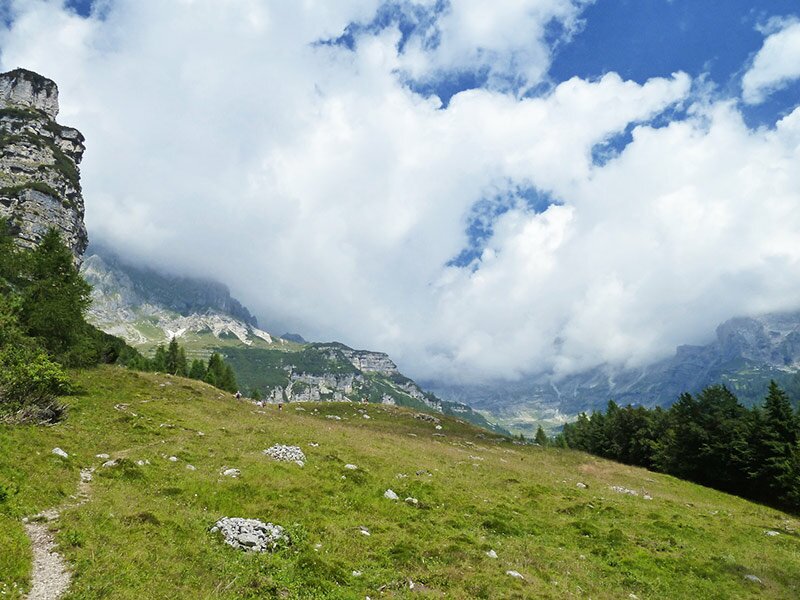
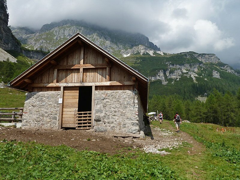
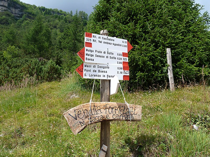
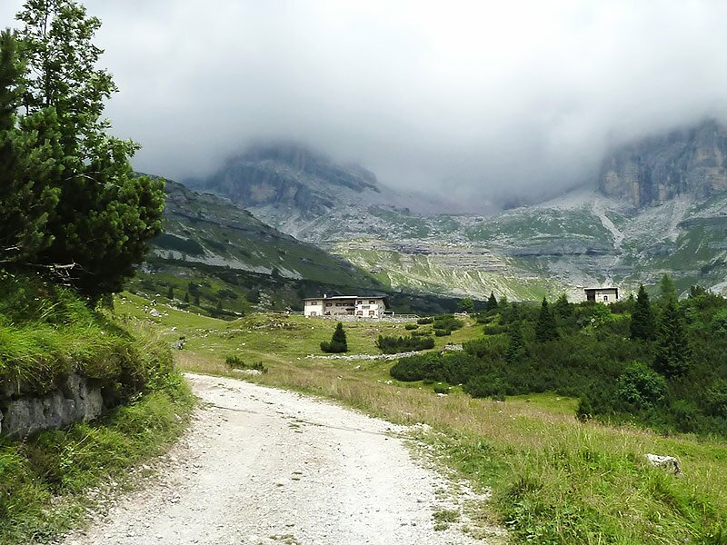
Path no. 325 branches off towards Malga Senaso di Sotto and continues along some curves in a mixed forest before reaching a flat pasture surrounded by rock walls, from where we proceed towards Rifugio Al Cacciatore. Unfortunately, today the clouds limited our view of the surrounding peaks, but nevertheless, we enjoyed the impressive nature and quietness of these wonderful places.
Author: AT
-
- Starting point:
- Ristoro Dolomiti di Brenta (parking), San Lorenzo in Banale
-
- Overall time:
- 05:40 h
-
- Total route length:
- 13,5 km
-
- Altitude:
- from 924 m to 1.822 m
-
- Altitude difference (uphill | downhill):
- +1044 m | -1044 m
-
- Signposts:
- 325, Rifugio al Cacciatore
-
- Destination:
- Rifugio Al Cacciatore
-
- Resting points:
- Rifugio Al Cacciatore
-
- Recommended time of year:
- Jan Feb Mar Apr May Jun Jul Aug Sep Oct Nov Dec
-
- Download GPX track:
- Hike through the Ambiez
If you want to undertake this hike, we recommend checking the weather and trail conditions in advance and on site before starting this hike!