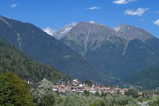
The beautiful hike leads to the San Giuliano mountain lakes and the homonymous hut above Caderzone Terme, in the Adamello Group
Image gallery: Circular walk to the San Giuliano Lakes
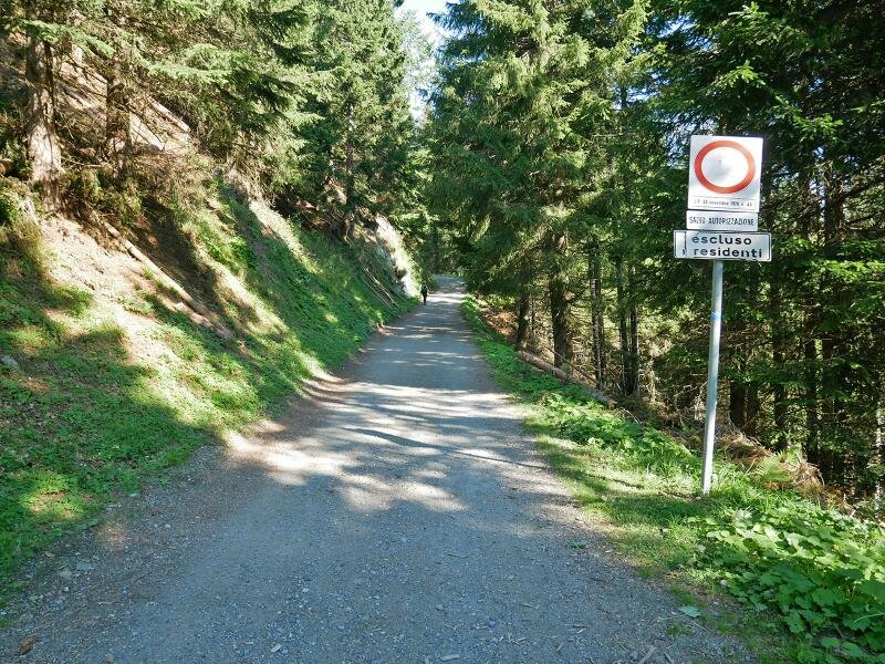
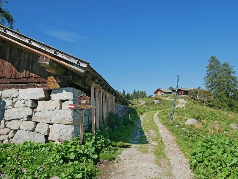
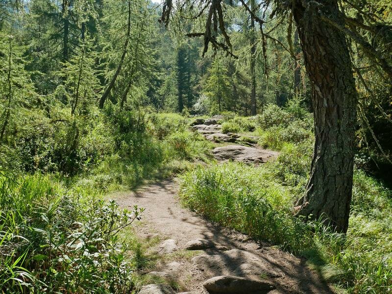
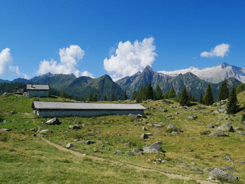
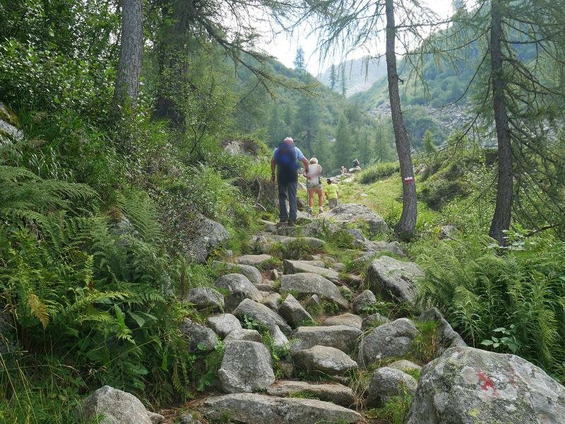

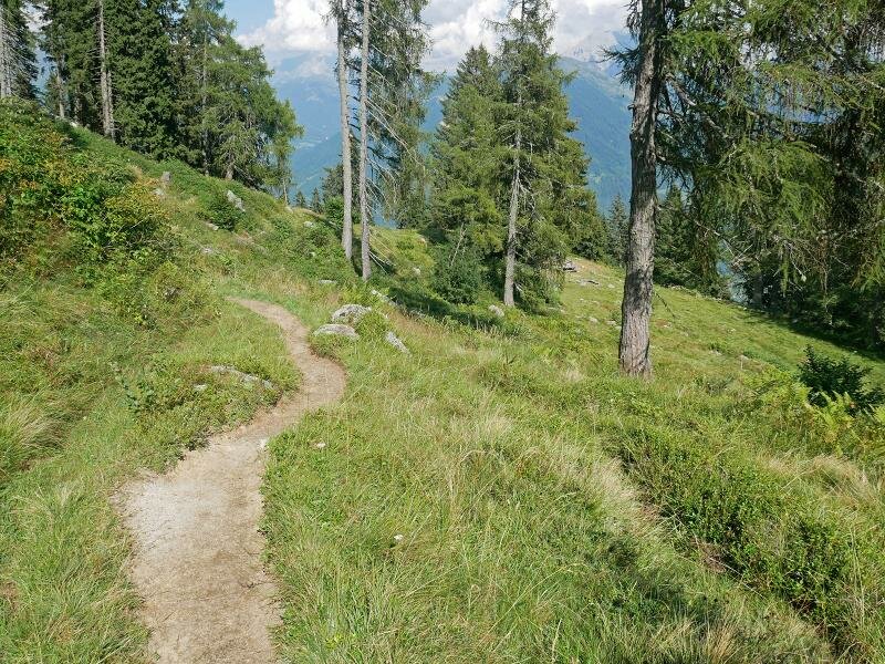
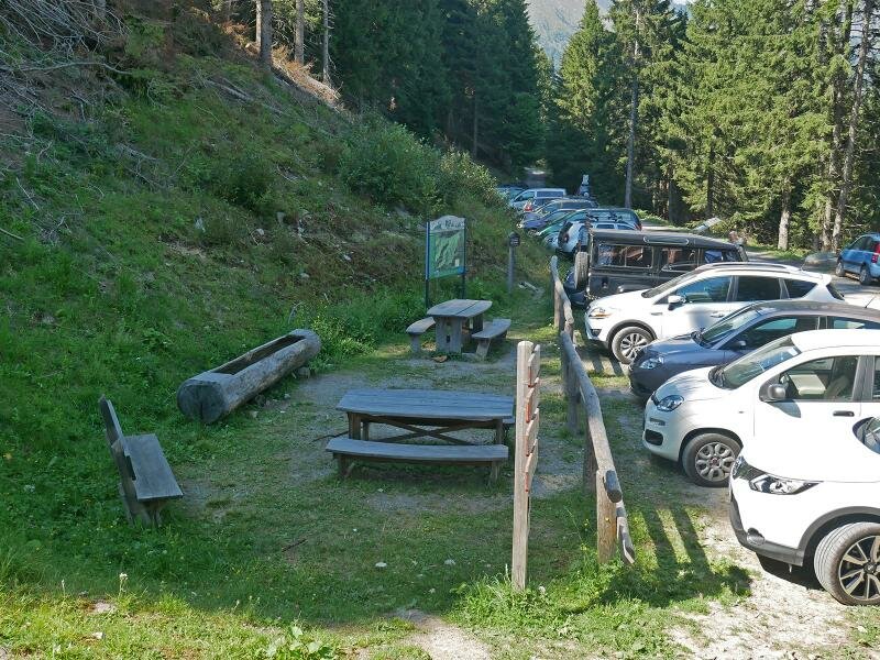
This moderately difficult hike in the Adamello group, provides fantastic views and leads through forests and meadows near the forest limit, amidst rocky peaks, and to the San Giuliano mountain hut and lakes. We drive to our starting point along a steep mountain road from Caderzone Terme to Malga Campo/S. Giuliano. The last section to the car park "Pöc da li Fafc" runs along an unpaved road. Here, our itinerary towards "Malga Campo" begins. After a short walk on the forest path, we arrive at this small mountain hut.
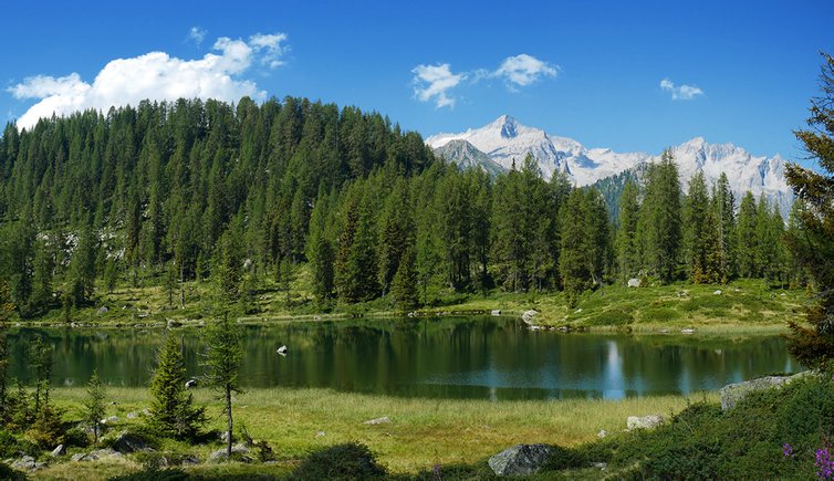
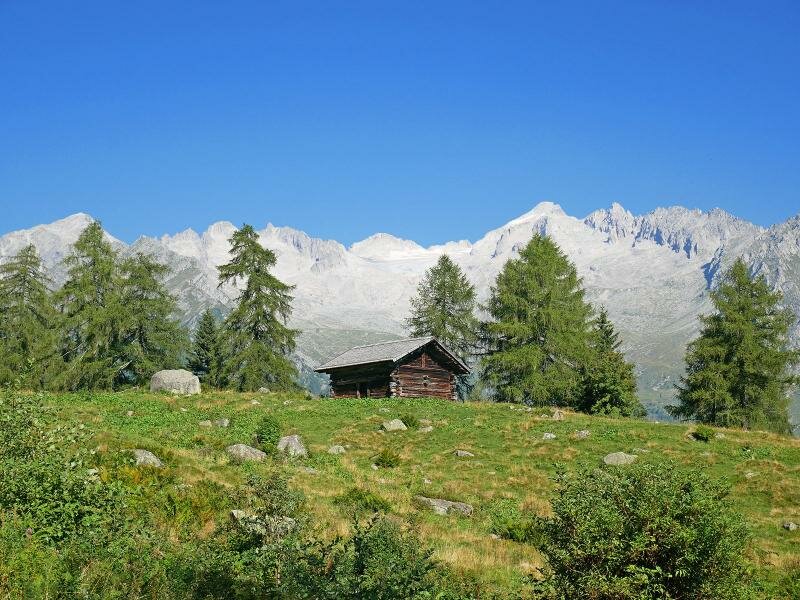
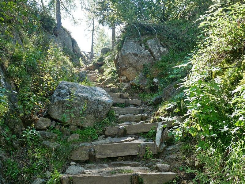
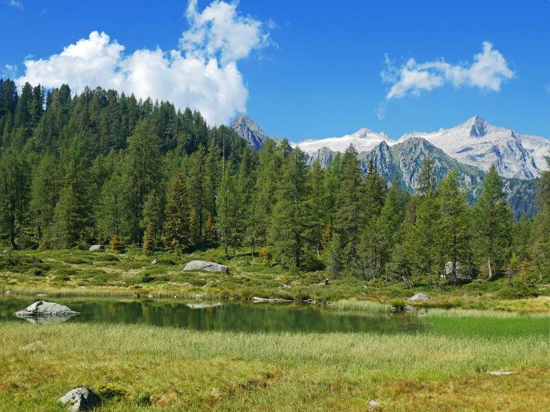
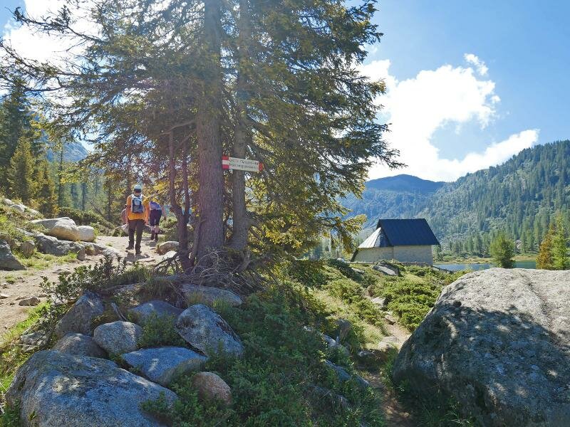
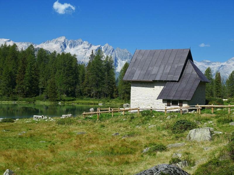
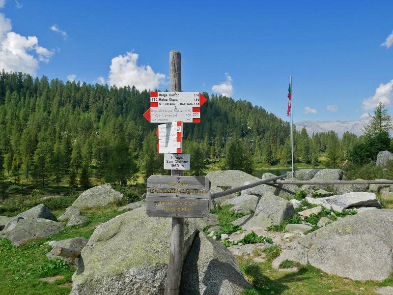
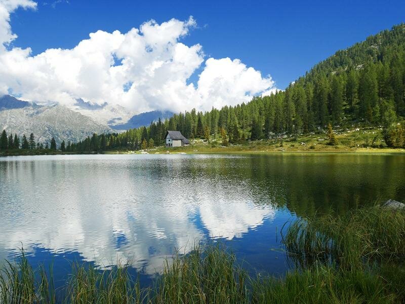
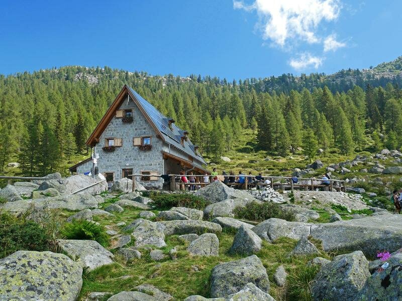
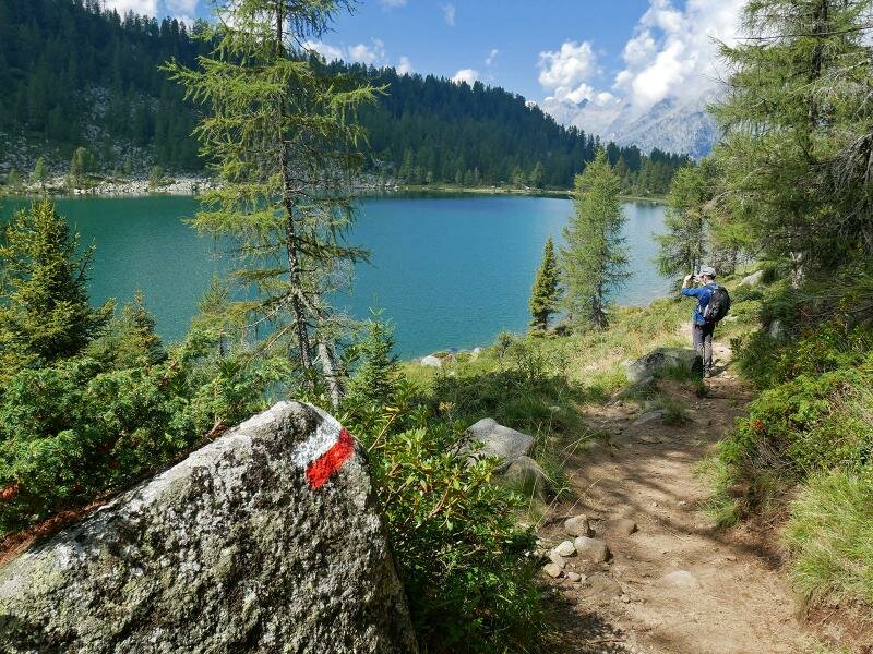
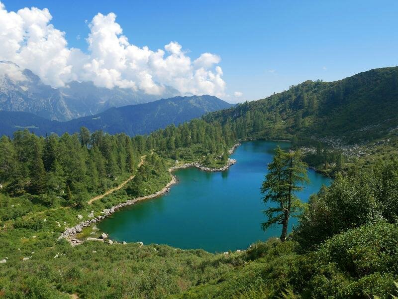
From here, we take the initially slightly steep path no. 230 through the forest, which gradually becomes steeper, and after about 2.5 km, we arrive at Malga San Giuliano. From there, it is only a stone's throw to Lago di San Giuliano and the eponymous mountain hut on the lake, where also the small chapel is situated.
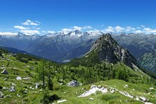
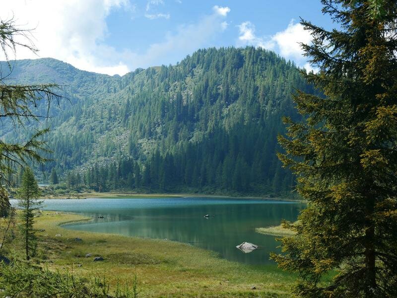
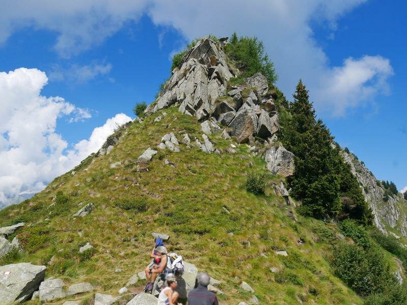
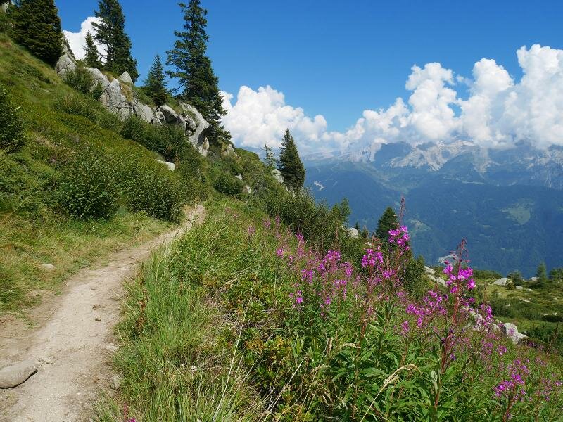
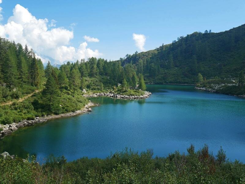
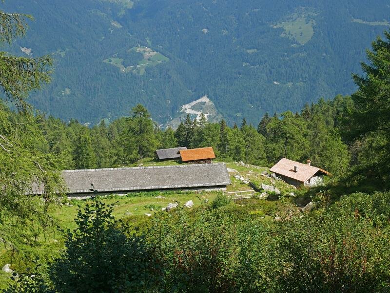
This is a romantic spot between the San Giuliano and Garzonè mountain lakes, close to the forest edge, with the peaks of the Adamello and Presanella ranges in the background. After a break at Rifugio di San Giuliano, we continue on path no. 221 to the passo Bochet de l'Acqua Fredda at 2,180 m a.s.l. The view from here opens up towards the Brenta group, and we descend to Lago di Vacarsa with its impressive shades of emerald green at the forest limit. We arrive at the slightly lower Malga Campastril, from where we return directly to the car park, the starting point of our hike, via a connecting path.
Author: AT
-
- Starting point:
- Pöc da li Fafc parking space, Caderzone Terme
-
- Overall time:
- 04:00 h
-
- Total route length:
- 10,6 km
-
- Altitude:
- from 1.671 m to 2.175 m
-
- Altitude difference (uphill | downhill):
- +639 m | -639 m
-
- Route:
- Pöc da li Fafc - Malga Campo - Rif. San Giuliano - Bocchetta dell'Acqua Fredda - Malga Campastril - Pöc da li Fafc
-
- Signposts:
- Malga Campo, 230, 221, B12
-
- Resting points:
- Rif. San Giuliano mountain hut
-
- Recommended time of year:
- Jan Feb Mar Apr May Jun Jul Aug Sep Oct Nov Dec
-
- Download GPX track:
- Circular walk to the San Giuliano Lakes
If you want to undertake this hike, we recommend checking the weather and trail conditions in advance and on site before starting this hike!